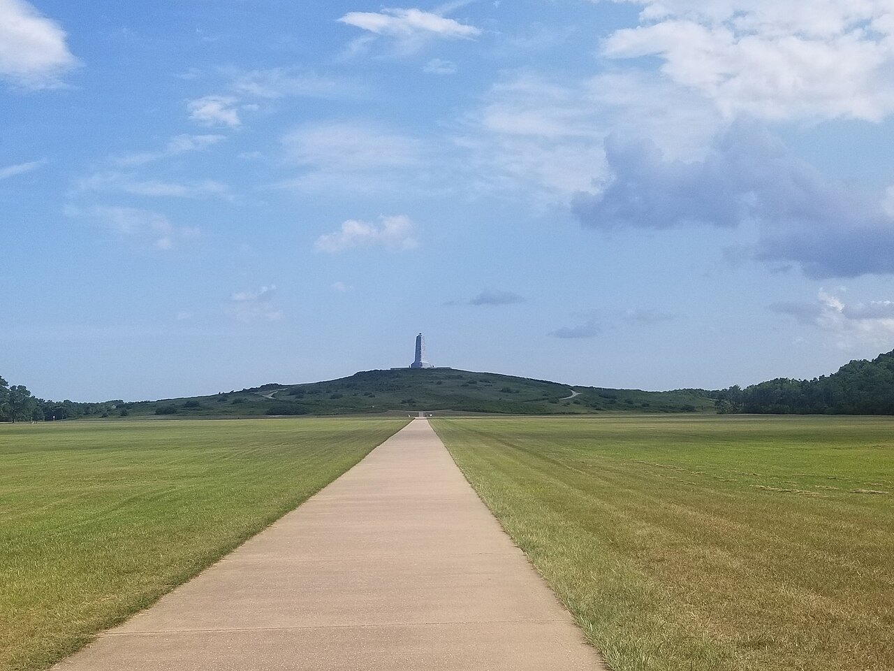
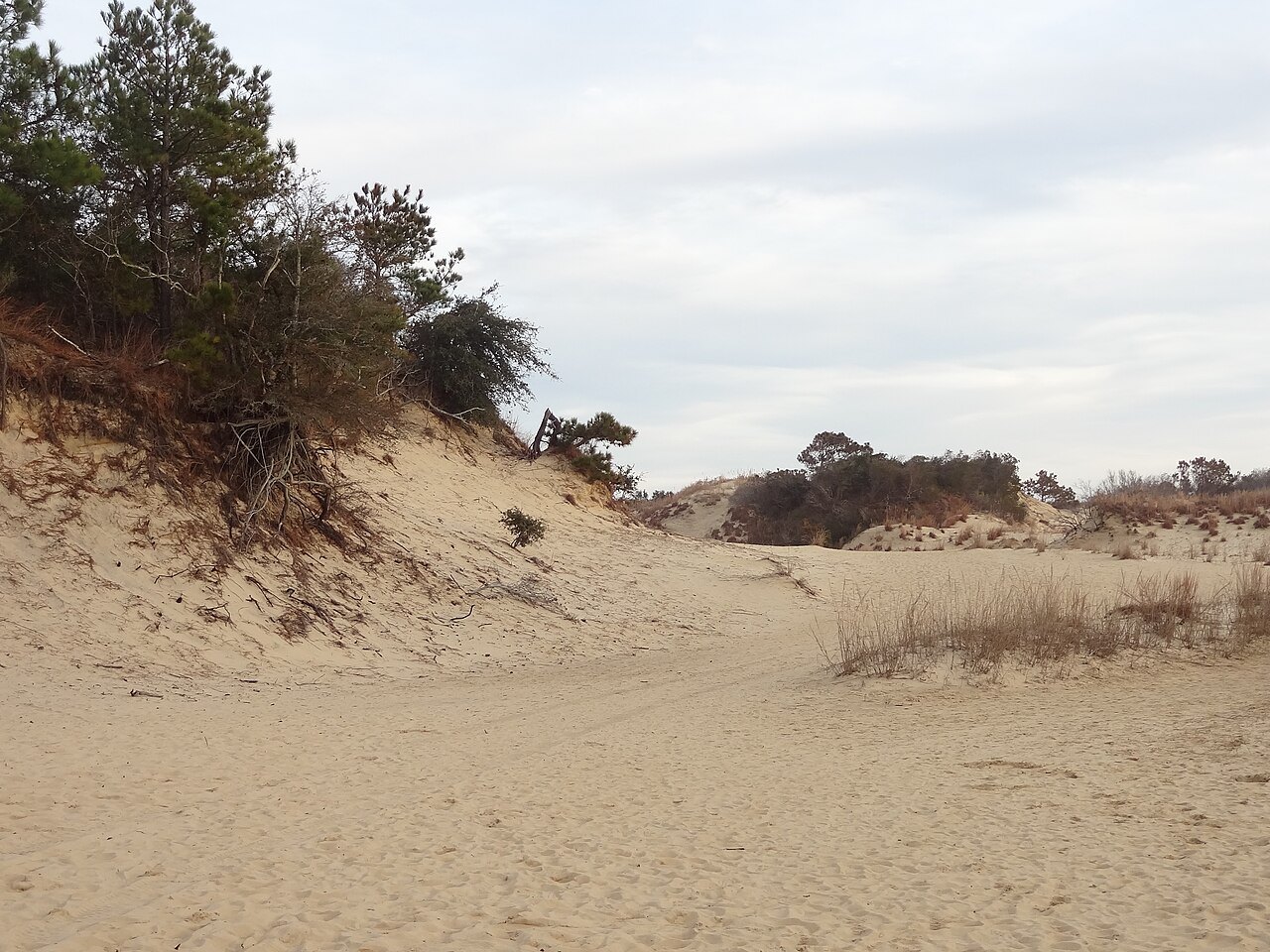
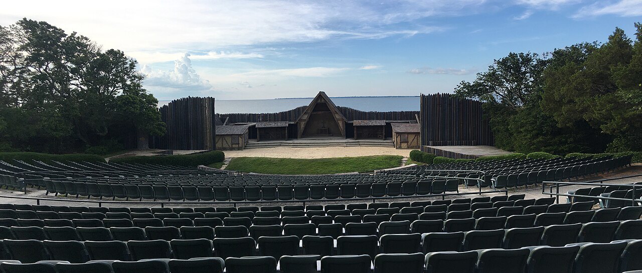
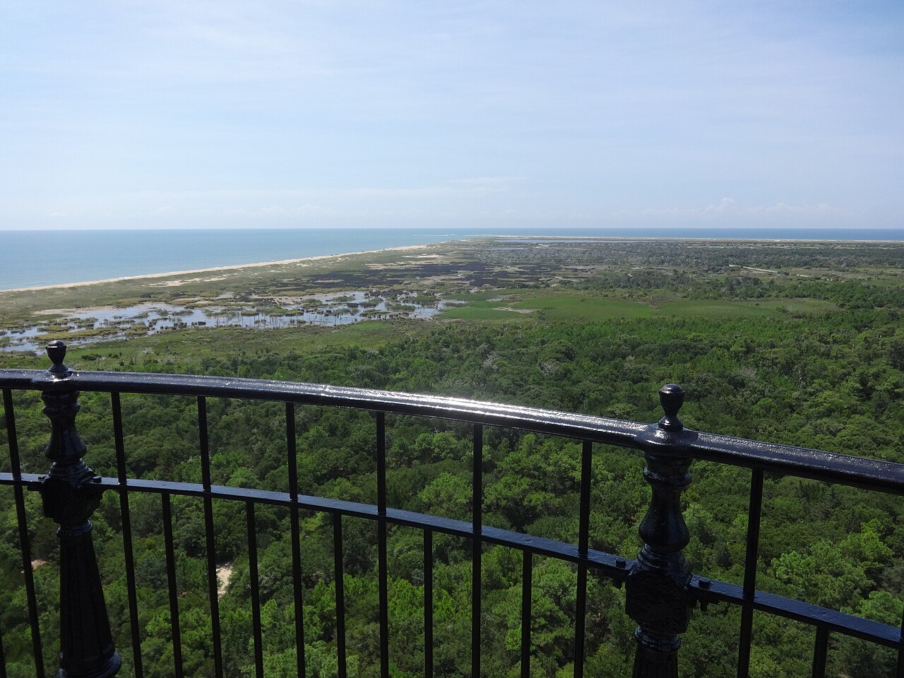
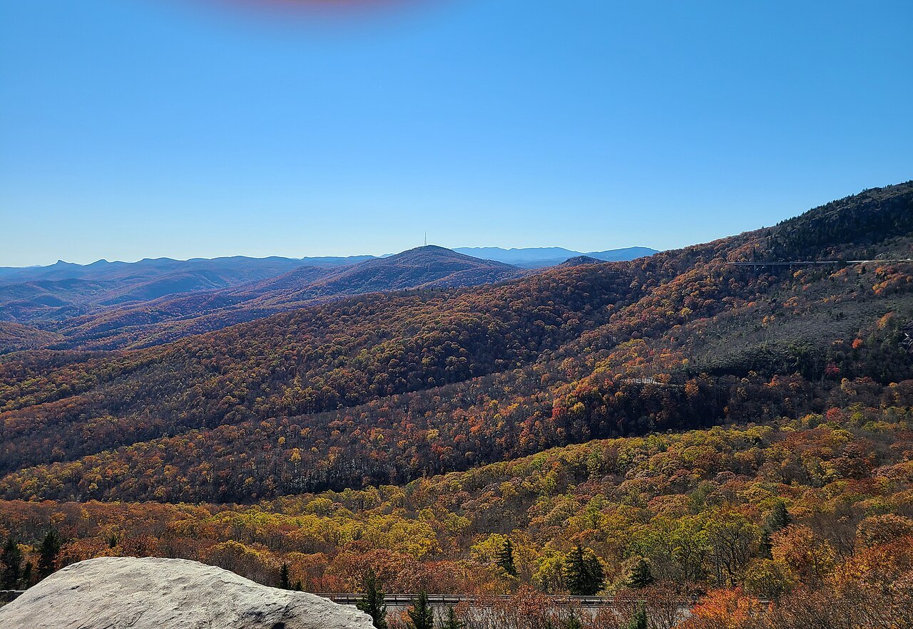
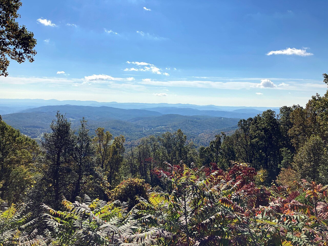
 The Mountains
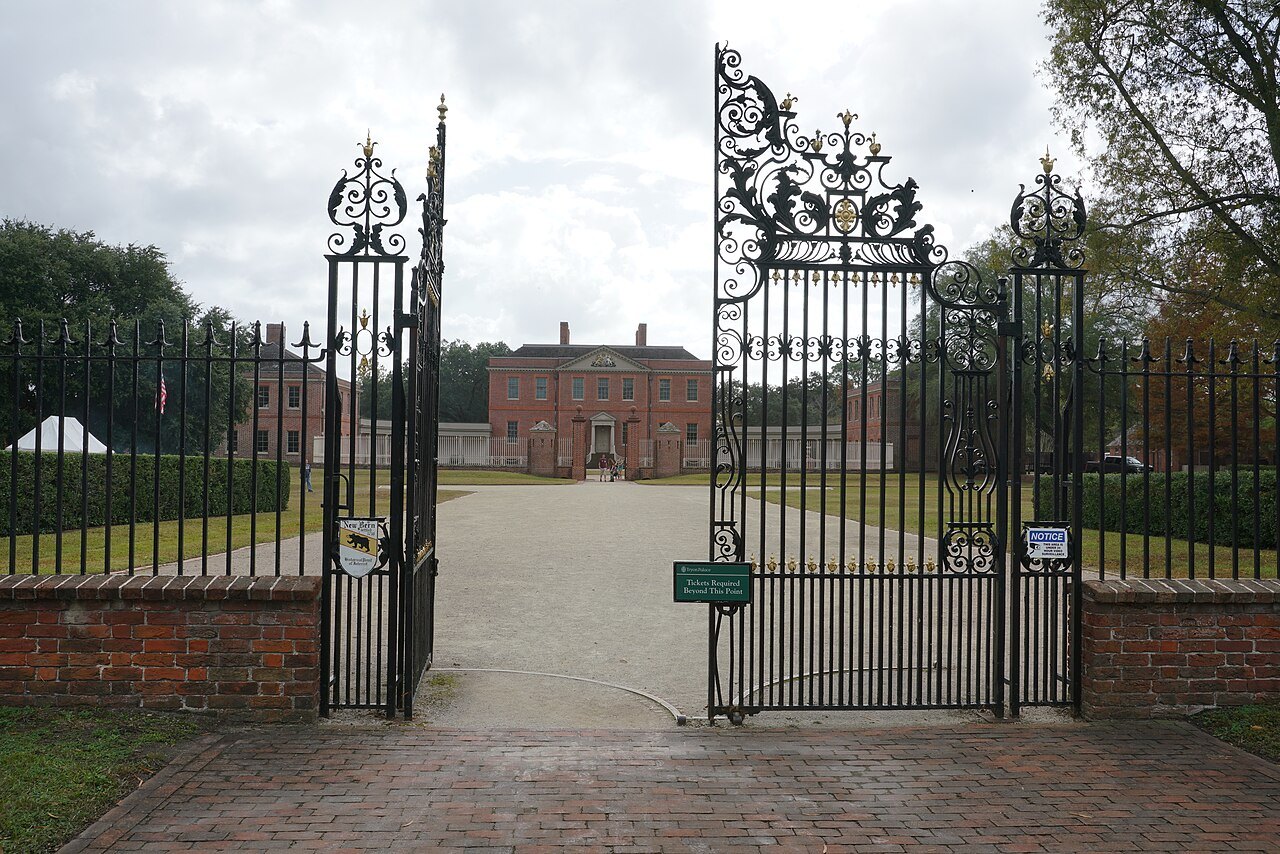
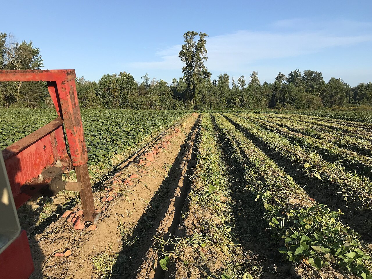
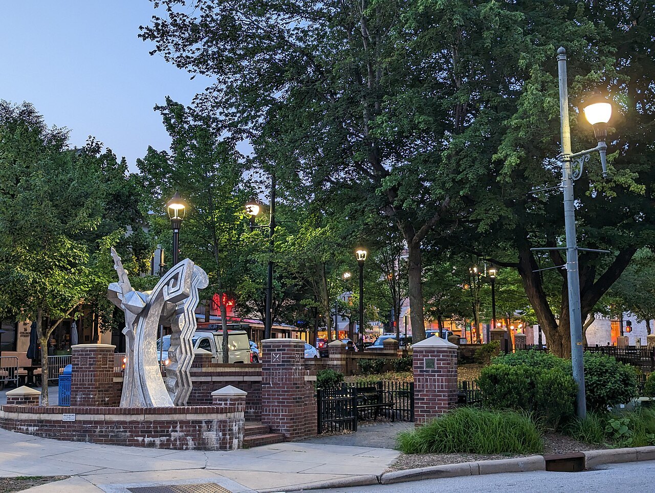
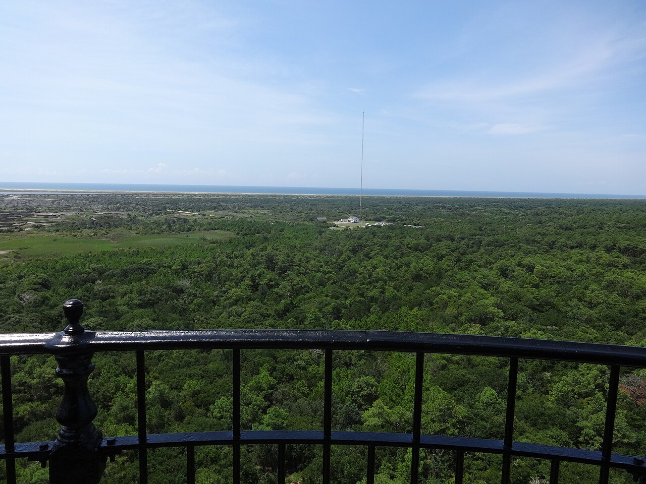
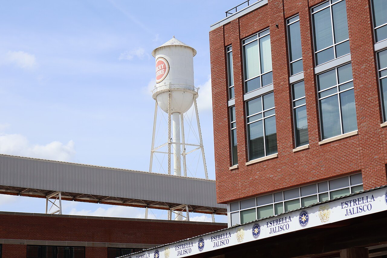 The Piedmont
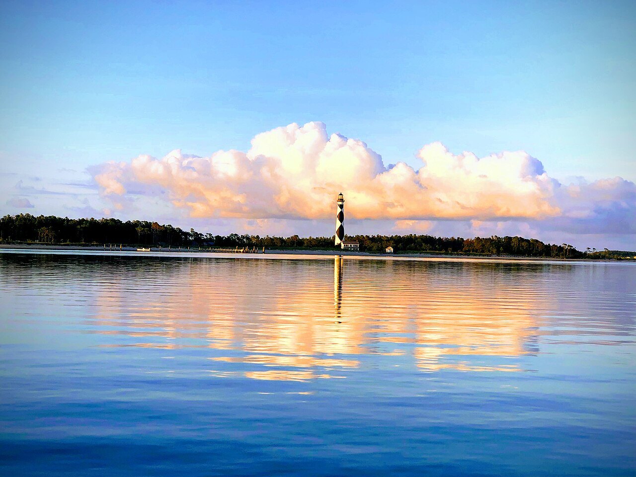
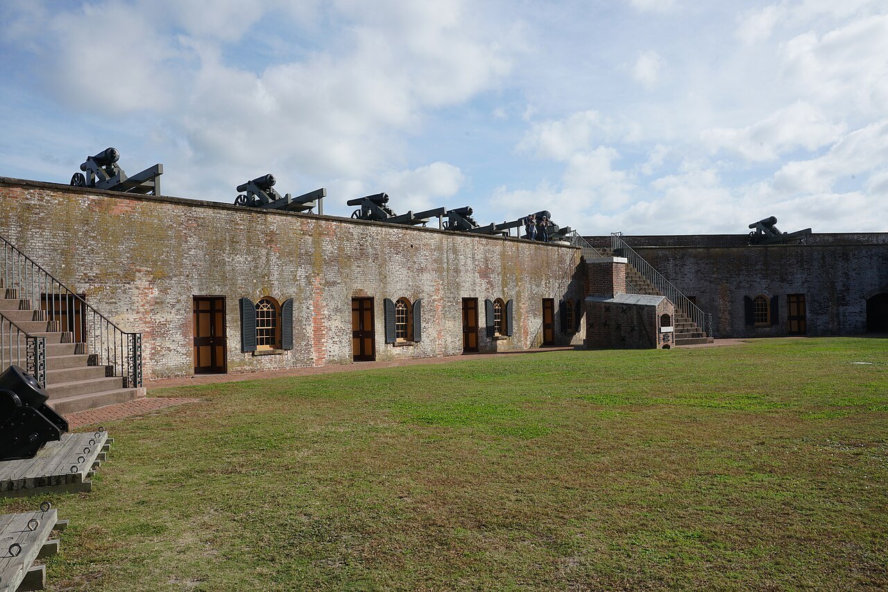
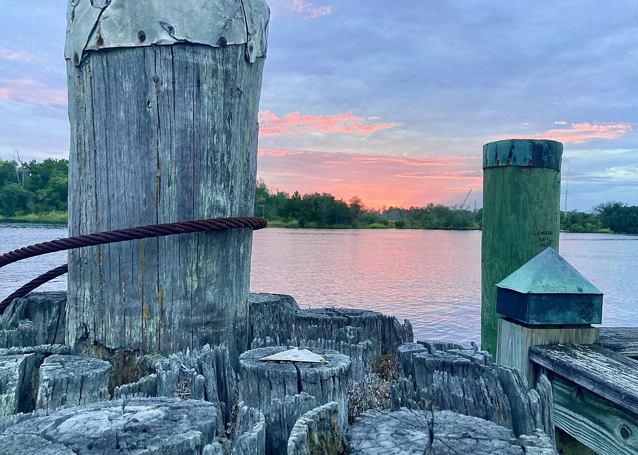
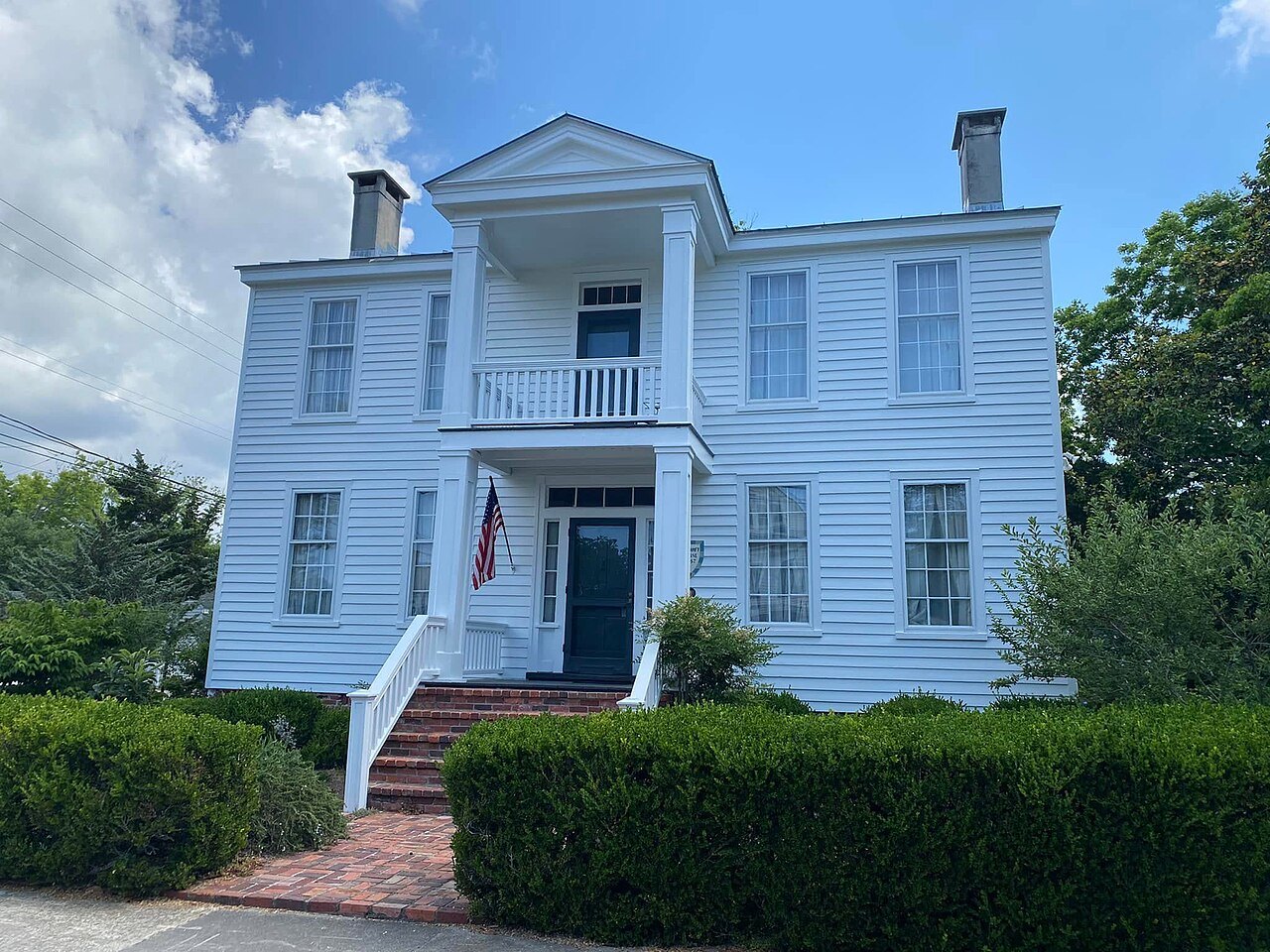
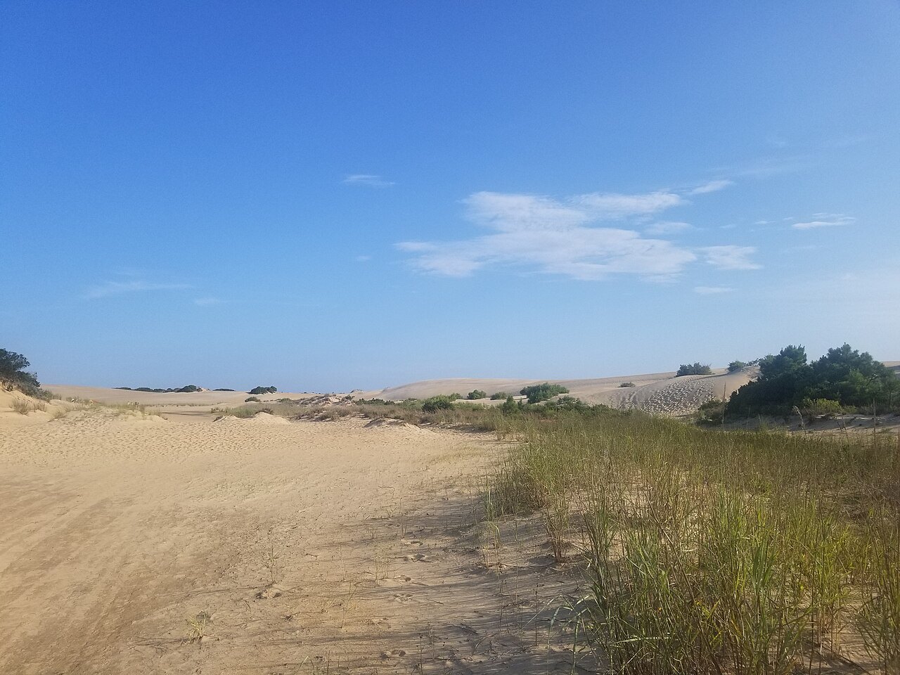 The sounds
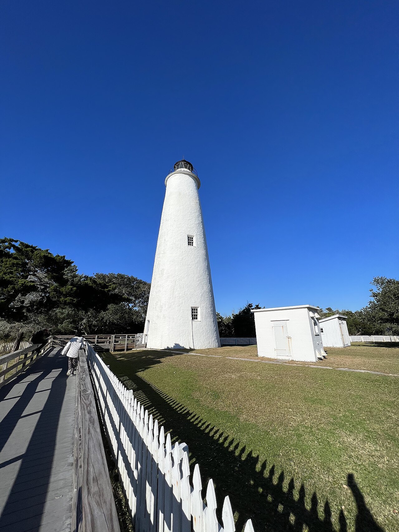
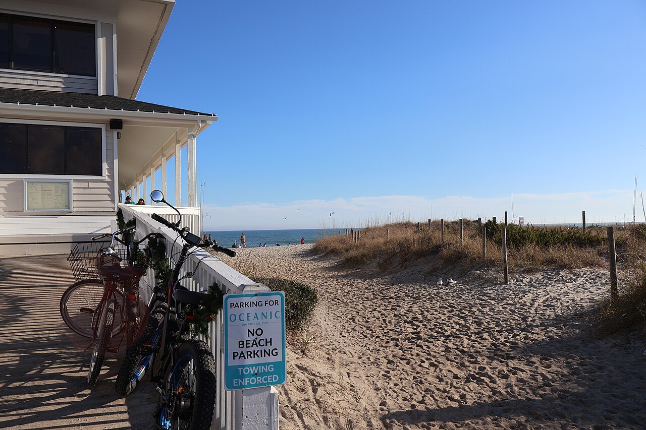
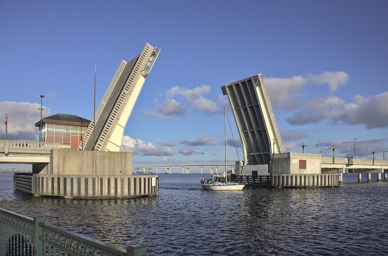
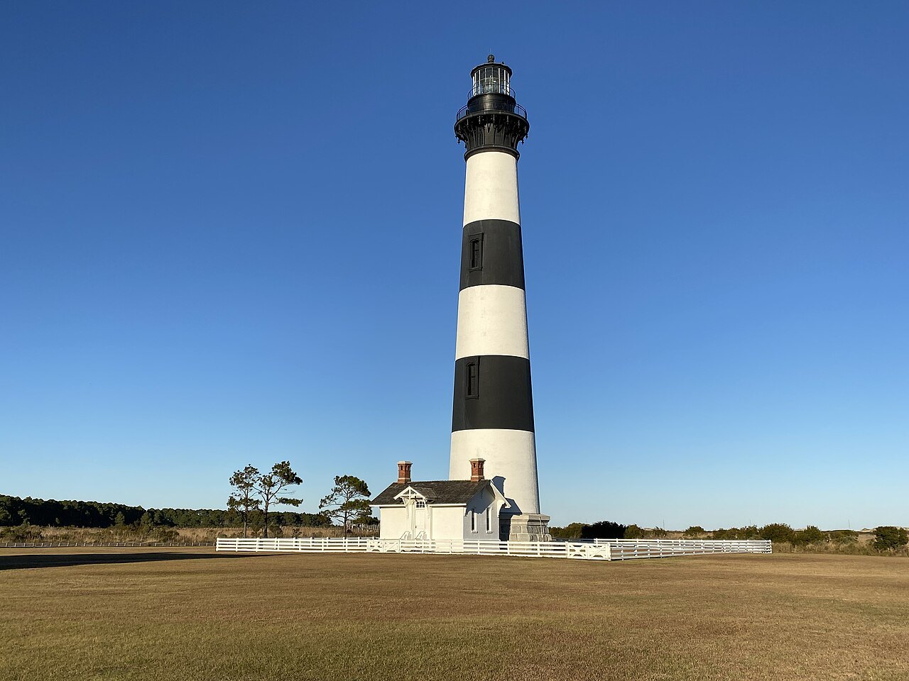 The Banks
North Carolina · from 6,684 feet to sea level
North Carolina falls from the highest summit in the East to a string of sand islands in the Atlantic
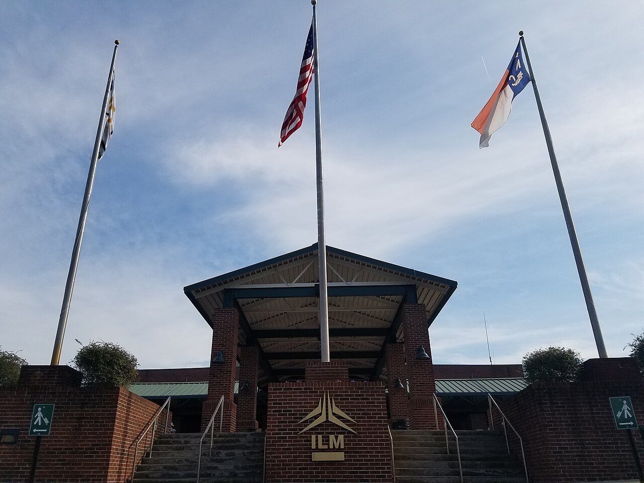
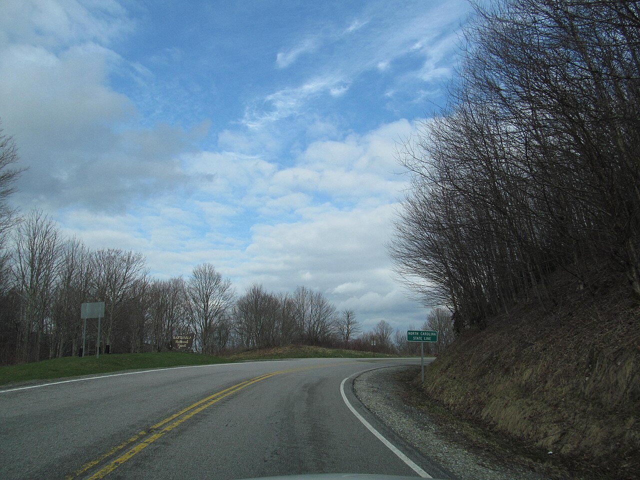
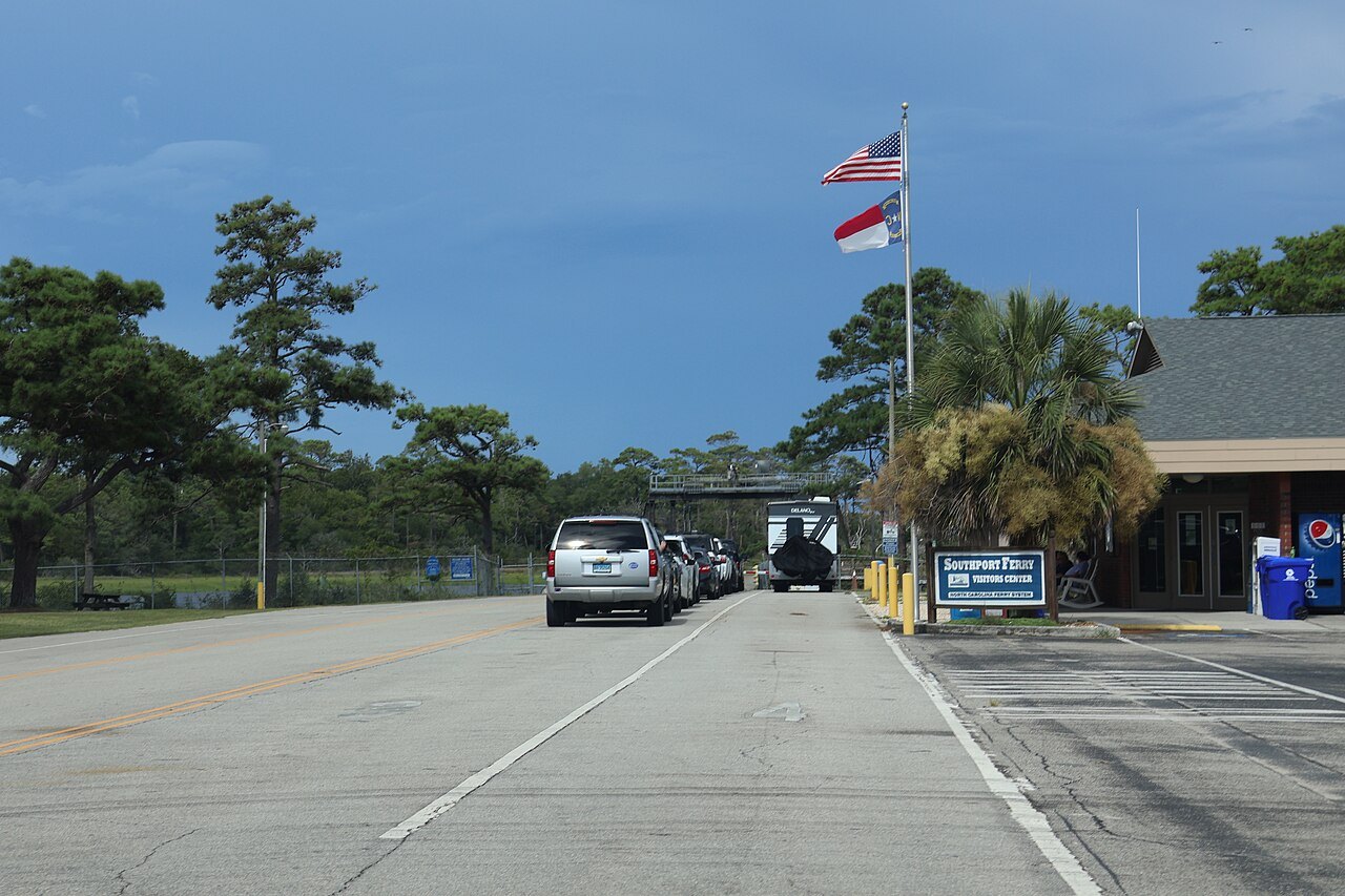
Photos: Bigmacthealmanac, Wikimedia Commons, CC BY-SA 4.0 · DiscoA340, Wikimedia Commons, CC BY-SA 4.0 · Myoder006, Wikimedia Commons, CC BY-SA 4.0 · Cape Hatteras National Seashore, Wikimedia Commons, Public domain
Three regions, one long slope to the sea
North Carolina is about 500 miles long and 150 wide, and it tilts: from summits near seven thousand feet in the west the land slopes east to sea level. Geographers split it into three regions, and so does this guide. The landmarks are grouped by them — the Mountains, the Piedmont and the Coast — and the eight cities are where most visitors actually sleep.
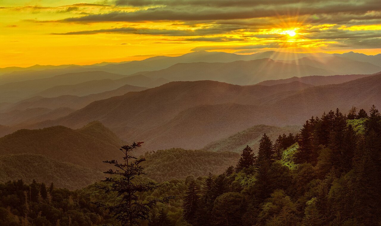
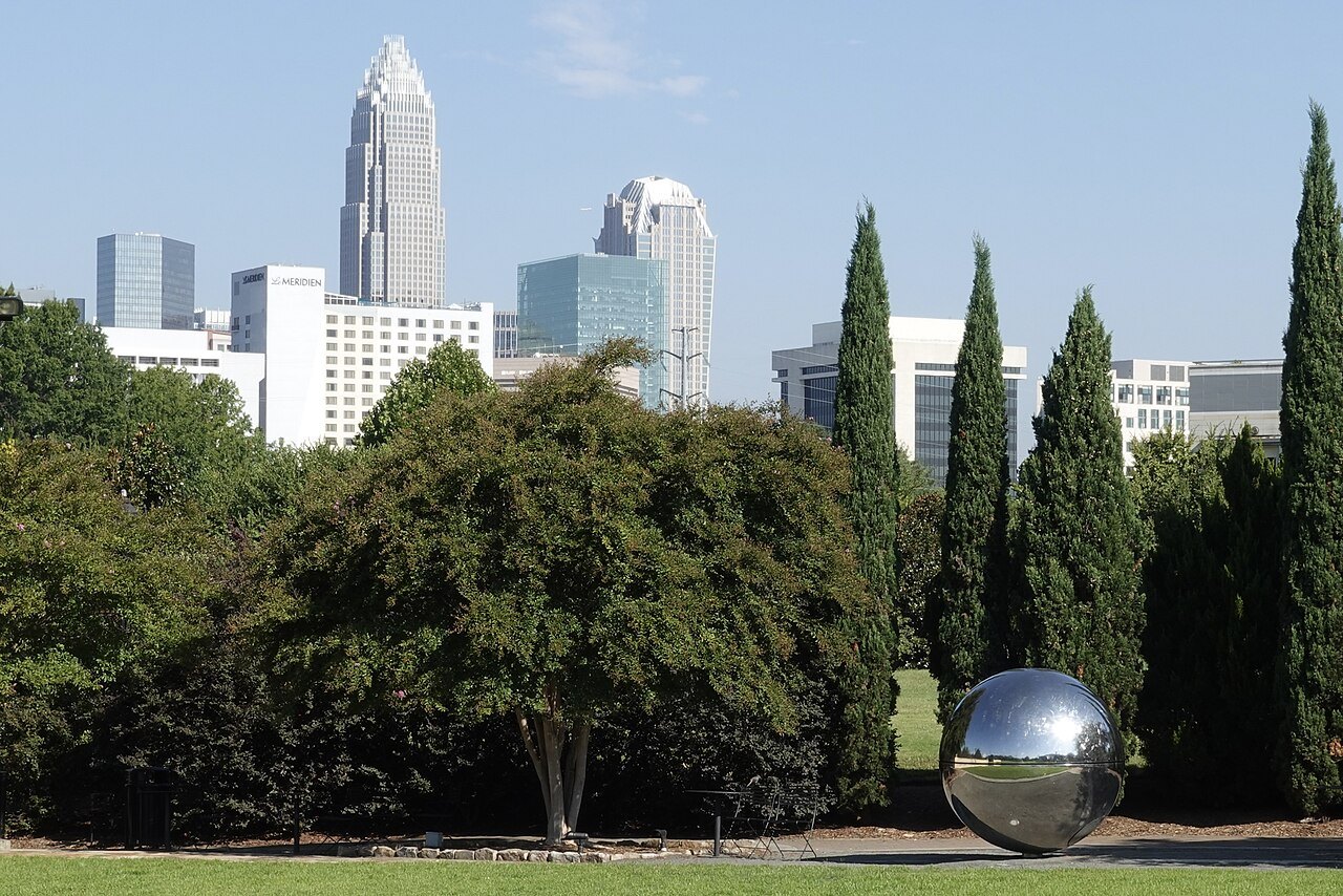
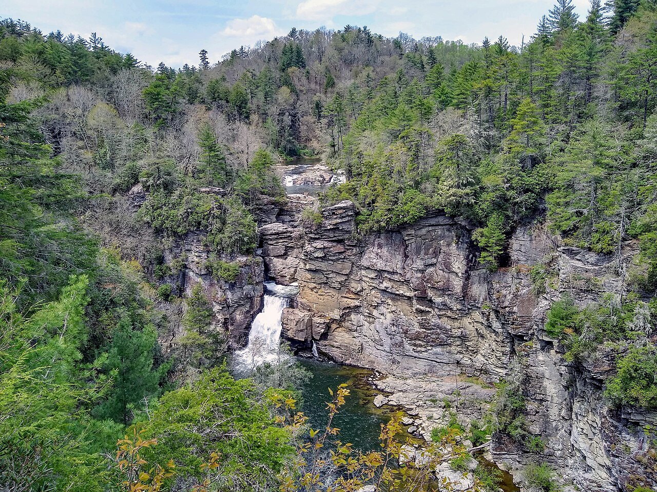
The Mountains are the Blue Ridge and, on the Tennessee line, the Great Smokies; the Blue Ridge Parkway runs along their crest and ends at Oconaluftee on the North Carolina side. The Piedmont in the middle holds the six largest cities and the two busiest airports, Charlotte Douglas and Raleigh–Durham. The Coastal Plain runs out to the sounds and the Outer Banks, a line of narrow barrier islands that the state ferries connect.
Interstate 40 is the only interstate that crosses the whole state, about 420 miles from the Tennessee line to Wilmington — which is why a trip here is a road trip, and why the calendar matters: leaf color moves down the mountains in autumn while the coast is still warm, and the hurricane season sits across late summer. Base yourself by region (where to stay) and eat by region too (eating and drinking).
A drive across the state, from Kuwohi down to Hatteras
 1
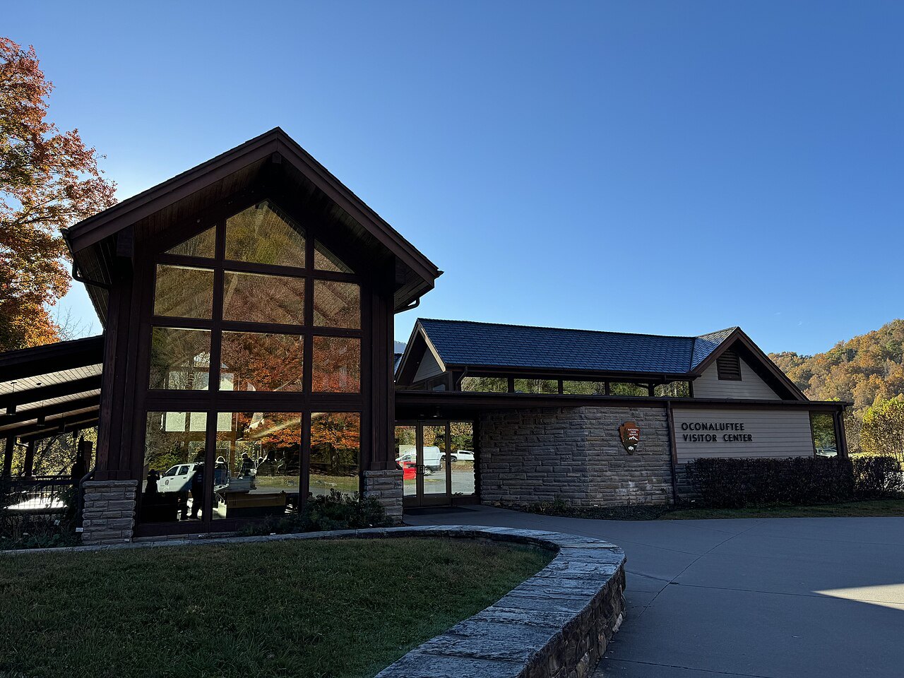
Oconaluftee, where the Parkway ends
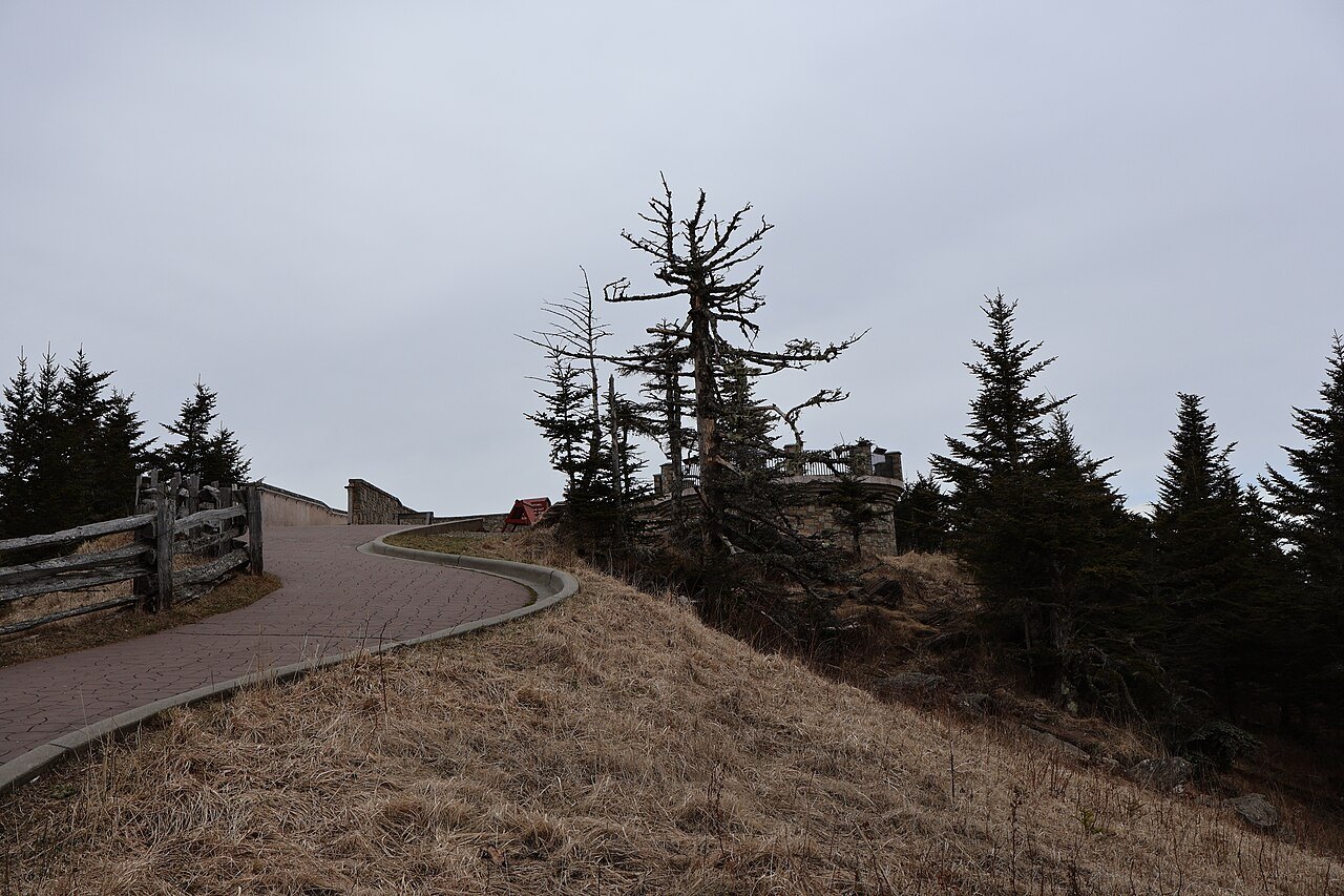
The drive starts in the Smokies on the North Carolina side, at Oconaluftee near Cherokee, where US 441 meets the southern end of the Blue Ridge Parkway. A paved road climbs from Newfound Gap to Kuwohi — the Cherokee name, official again since September 2024 — whose summit, the highest point on the Appalachian Trail, stands on the state line.
Photo: w_lemay, Wikimedia Commons, CC BY-SA 2.0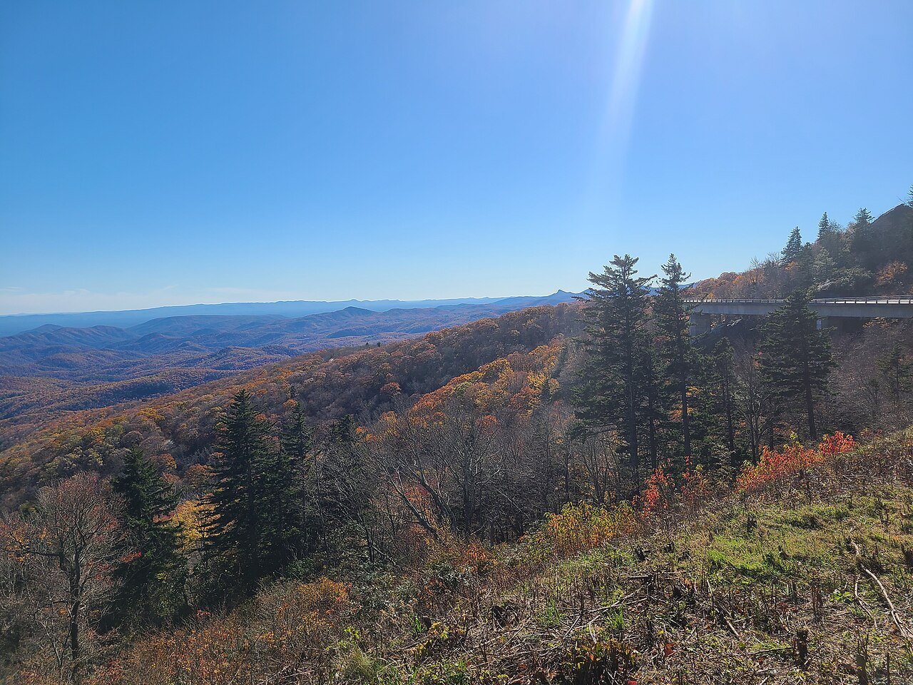 2
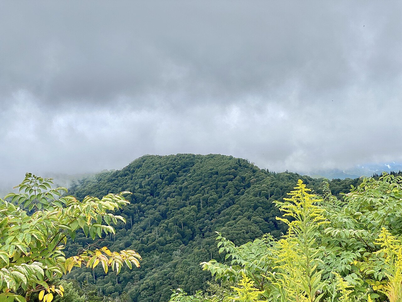
North along the Parkway
Mileposts count down as you go north: 469 here, zero in Virginia. The road's highest point is on Richland Balsam at milepost 431. The Parkway is not maintained in winter, and Hurricane Helene closed all of it in September 2024; sections reopened in stages, so check the road status before you set a route.
Photo: Bigmacthealmanac, Wikimedia Commons, CC BY-SA 4.0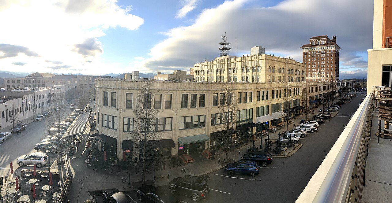 3
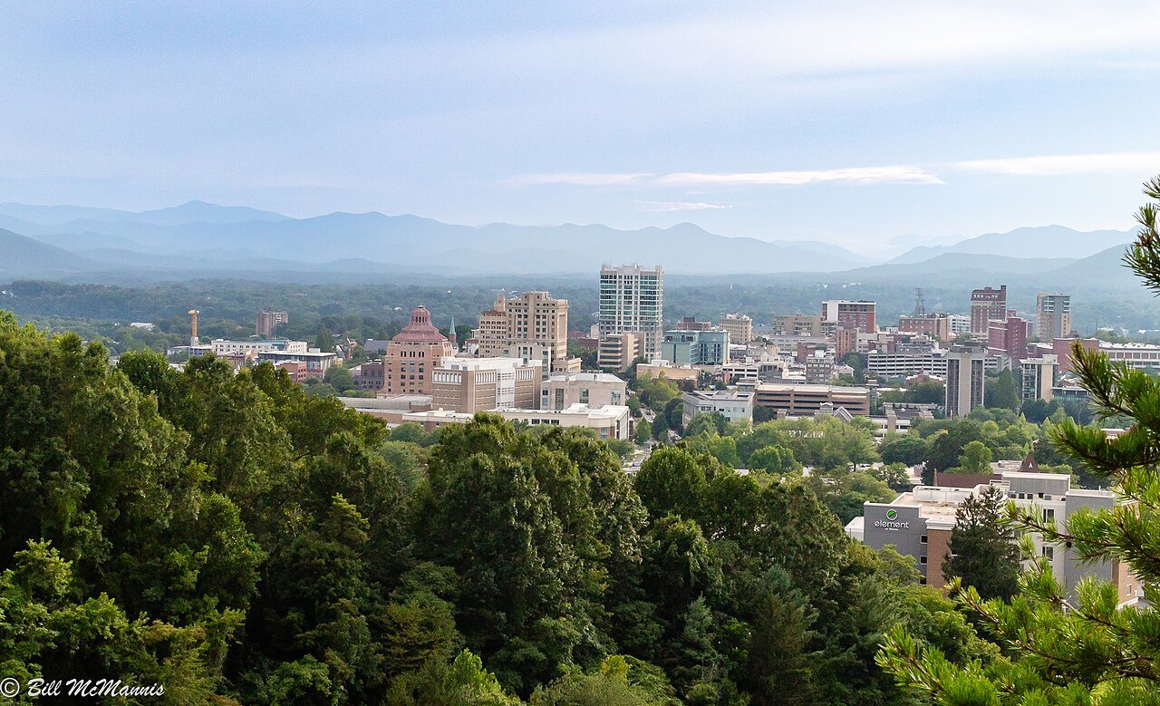
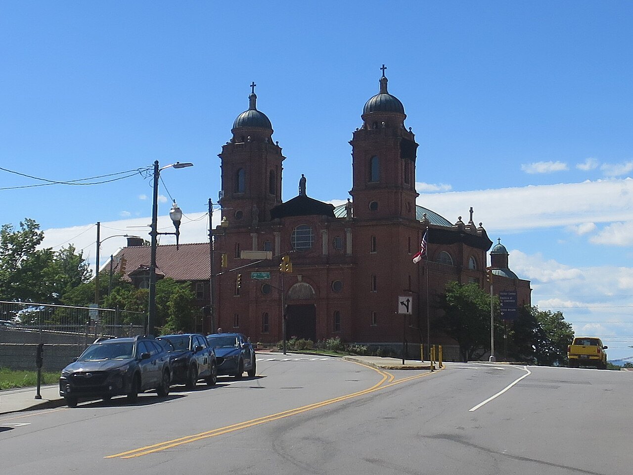
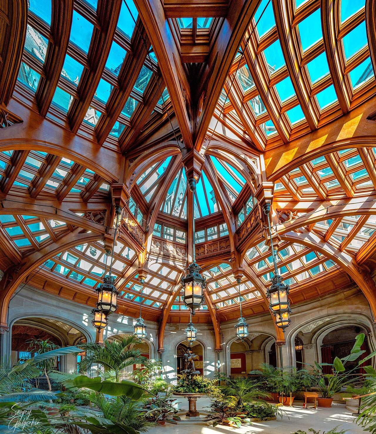
Asheville
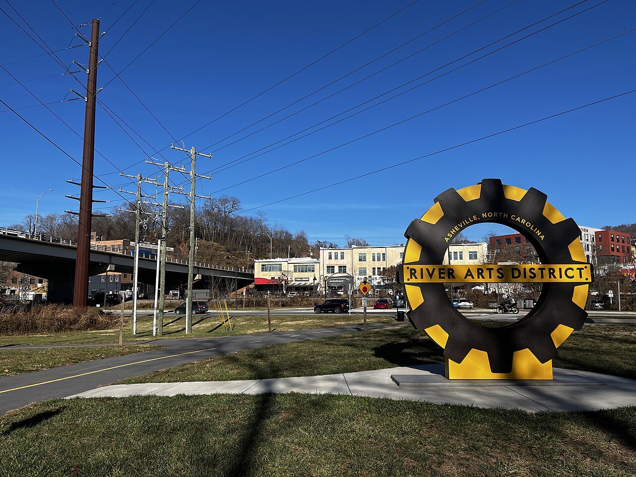
The mountain city sits where the French Broad and Swannanoa rivers meet, with one of the country's fullest collections of Art Deco buildings downtown. Helene's floods on those two rivers devastated the city and its region in 2024; Biltmore, on its southern edge, reopened that November.
Photo: chucka_nc, Wikimedia Commons, CC BY-SA 2.0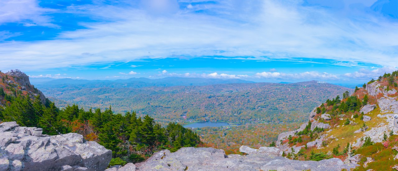 4
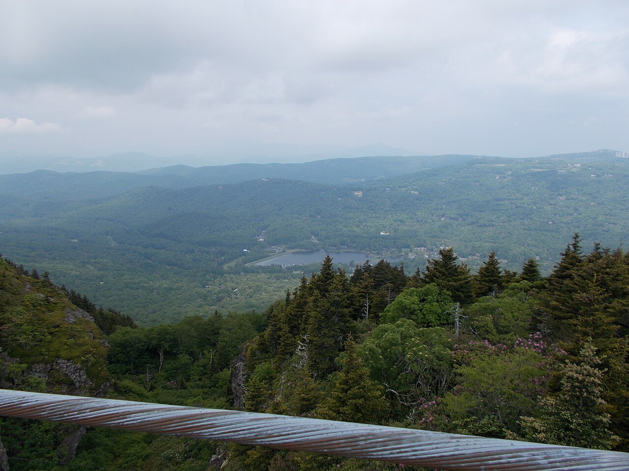
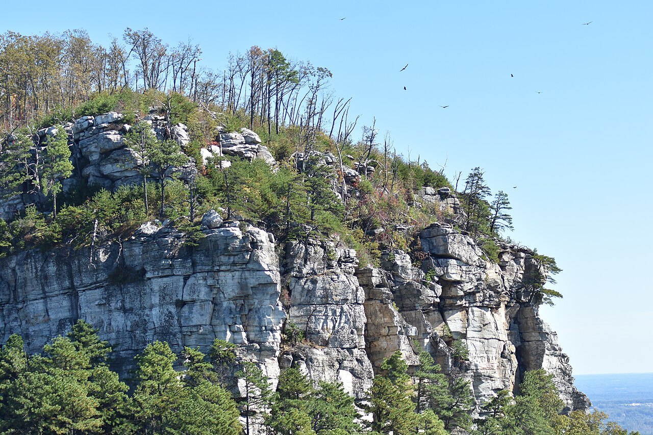
Grandfather Mountain and the viaduct
North again, the Parkway's last gap was closed in 1987 by the Linn Cove Viaduct, a 1,243-foot concrete bridge snaking around Grandfather Mountain so the road would not scar it. The mountain is the highest point on the Blue Ridge escarpment.
Photo: Marshallhash89, Wikimedia Commons, CC BY-SA 4.0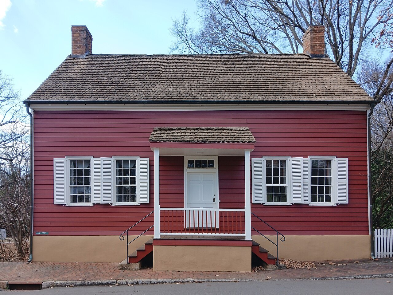 5
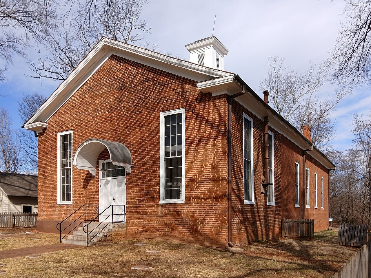
Down into the Piedmont: Old Salem
Leave the mountains east and the land drops into the Piedmont. In Winston-Salem, Moravian settlers laid out Salem in 1766; its restored streets, the Salem Tavern and the Single Brothers' House are now a living-history district.
Photo: Cbaile19, Wikimedia Commons, CC0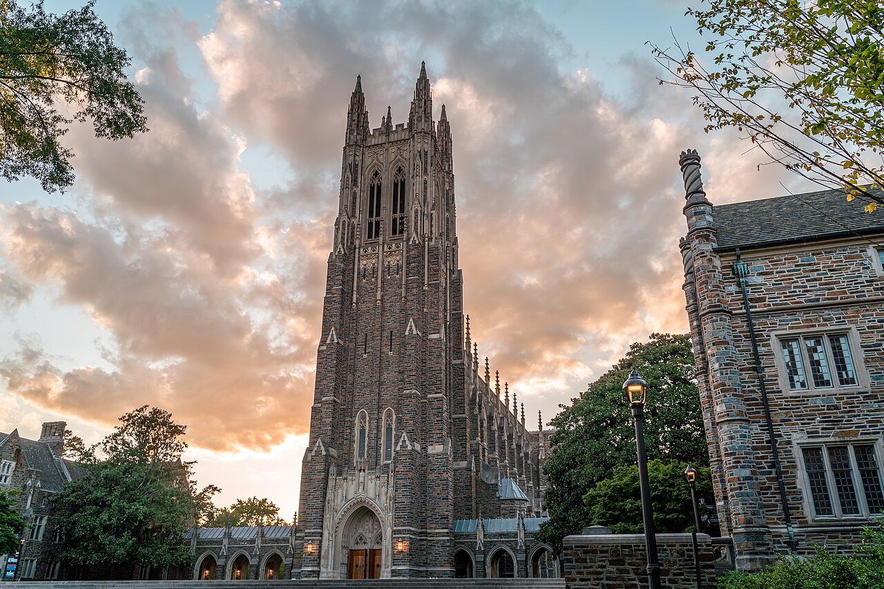 6
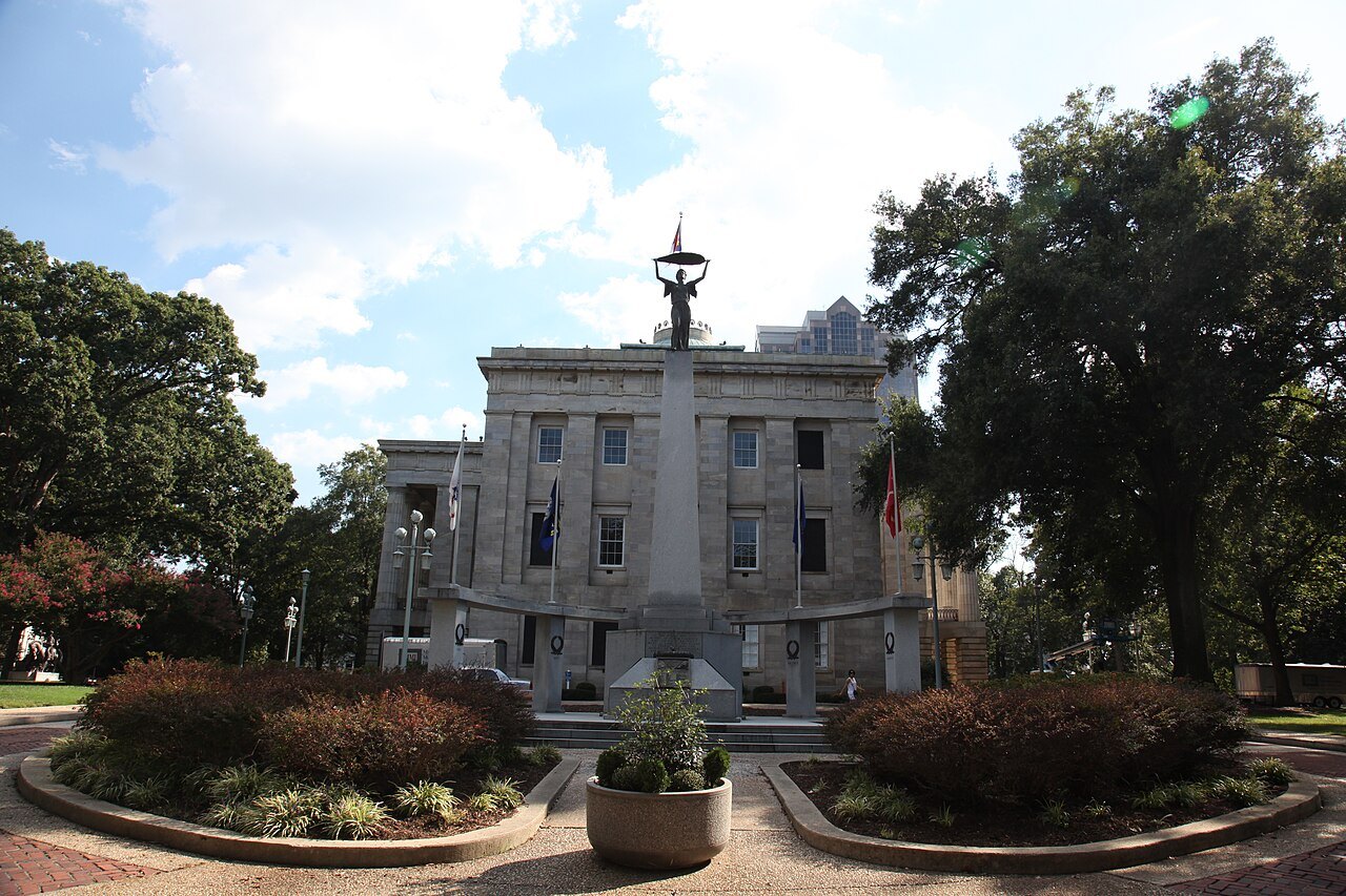
The Triangle
Interstate 40 carries on to Durham, Raleigh and Chapel Hill — the Research Triangle, built around three universities. Duke Chapel, finished in 1935, stands on the highest ridge of its campus; Raleigh has been the capital since 1792.
Photo: Discover Durham, Wikimedia Commons, CC BY 4.0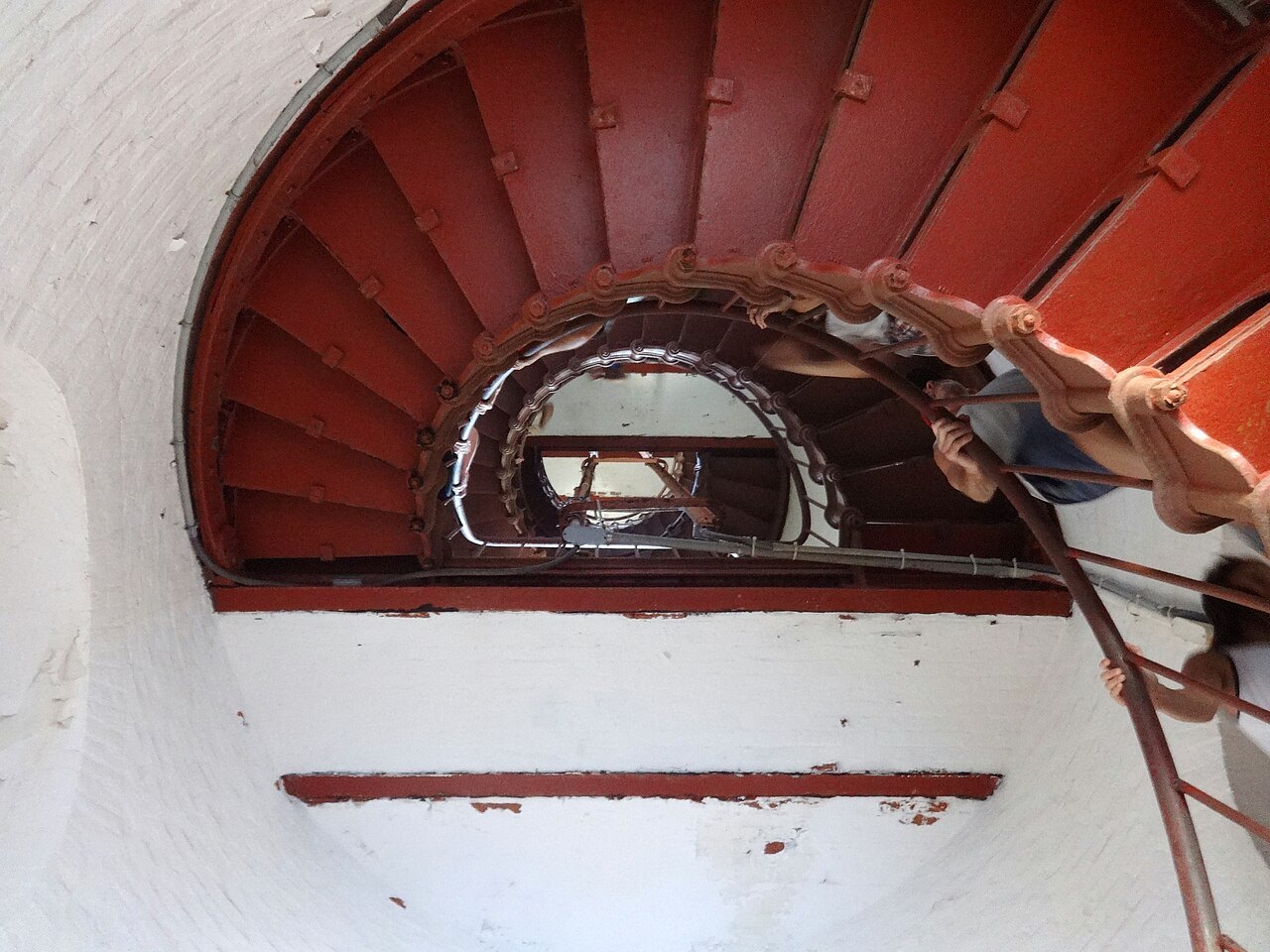 7
Out to the Banks
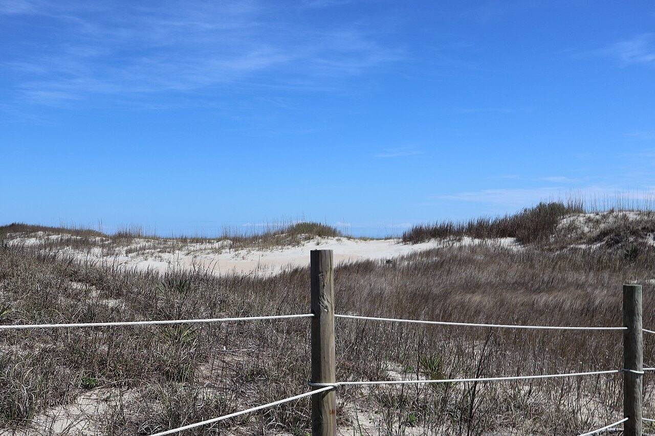
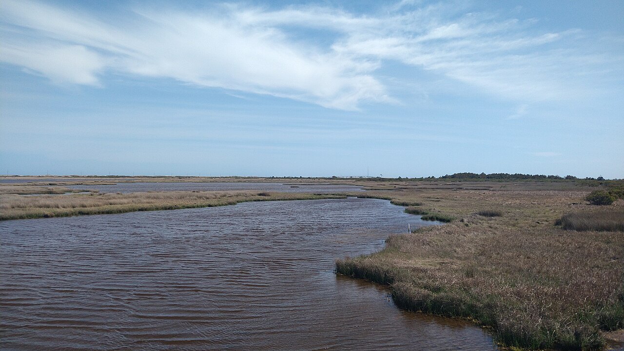
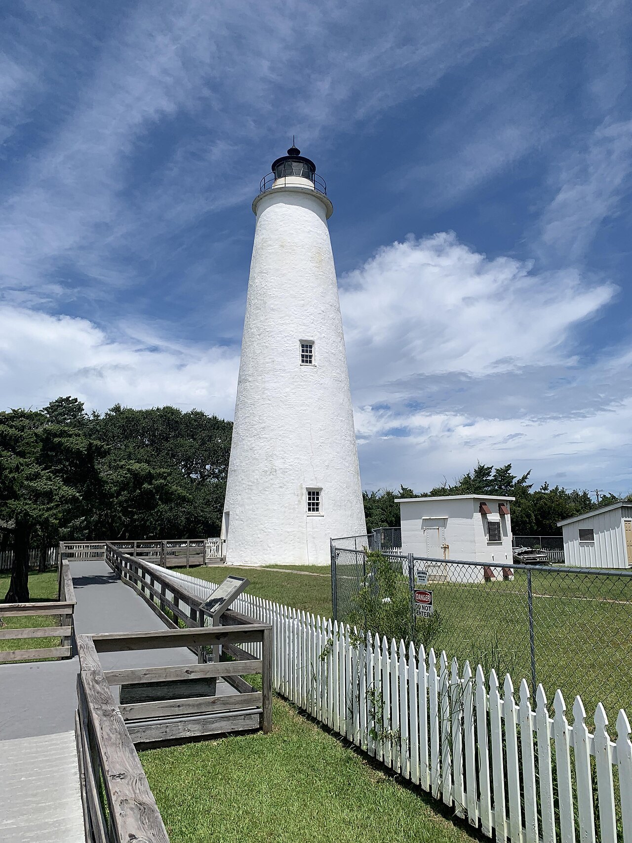
East of the fall line the coastal plain runs flat to the sounds. Cross to the Outer Banks and NC 12 runs down the islands to Cape Hatteras, where the tallest lighthouse in the country watches the shoals called the Graveyard of the Atlantic — and the state ferry crosses on to Ocracoke.
Photo: Bohemian Baltimore, Wikimedia Commons, CC BY-SA 4.0
Everything in this guide
The cities, west to east
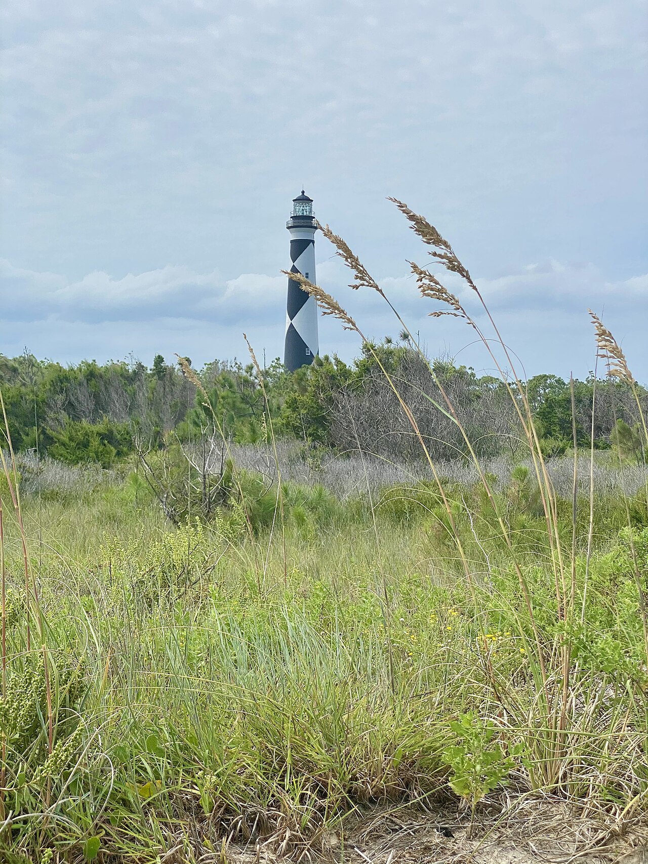
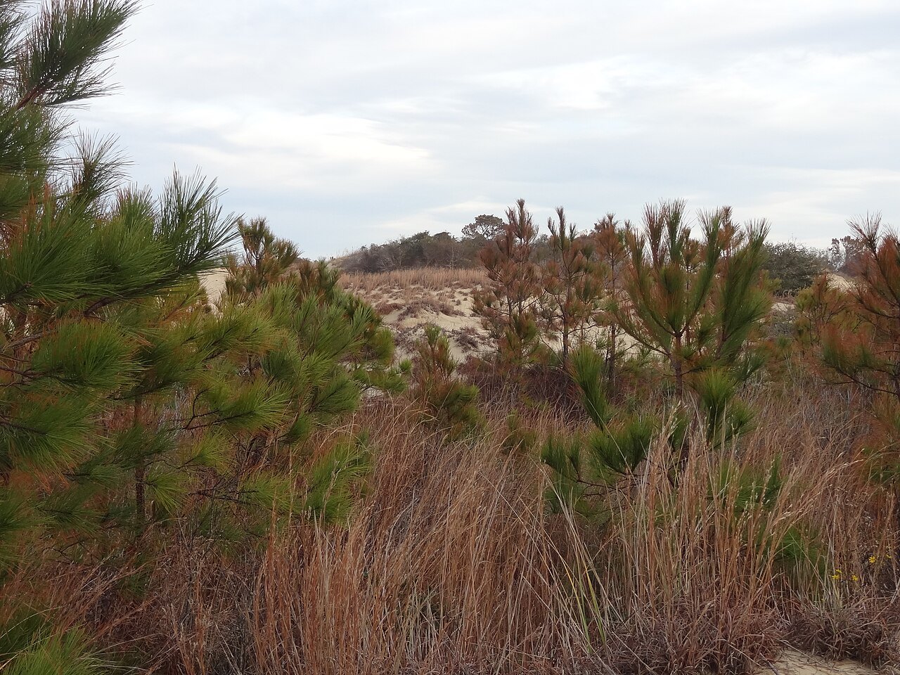
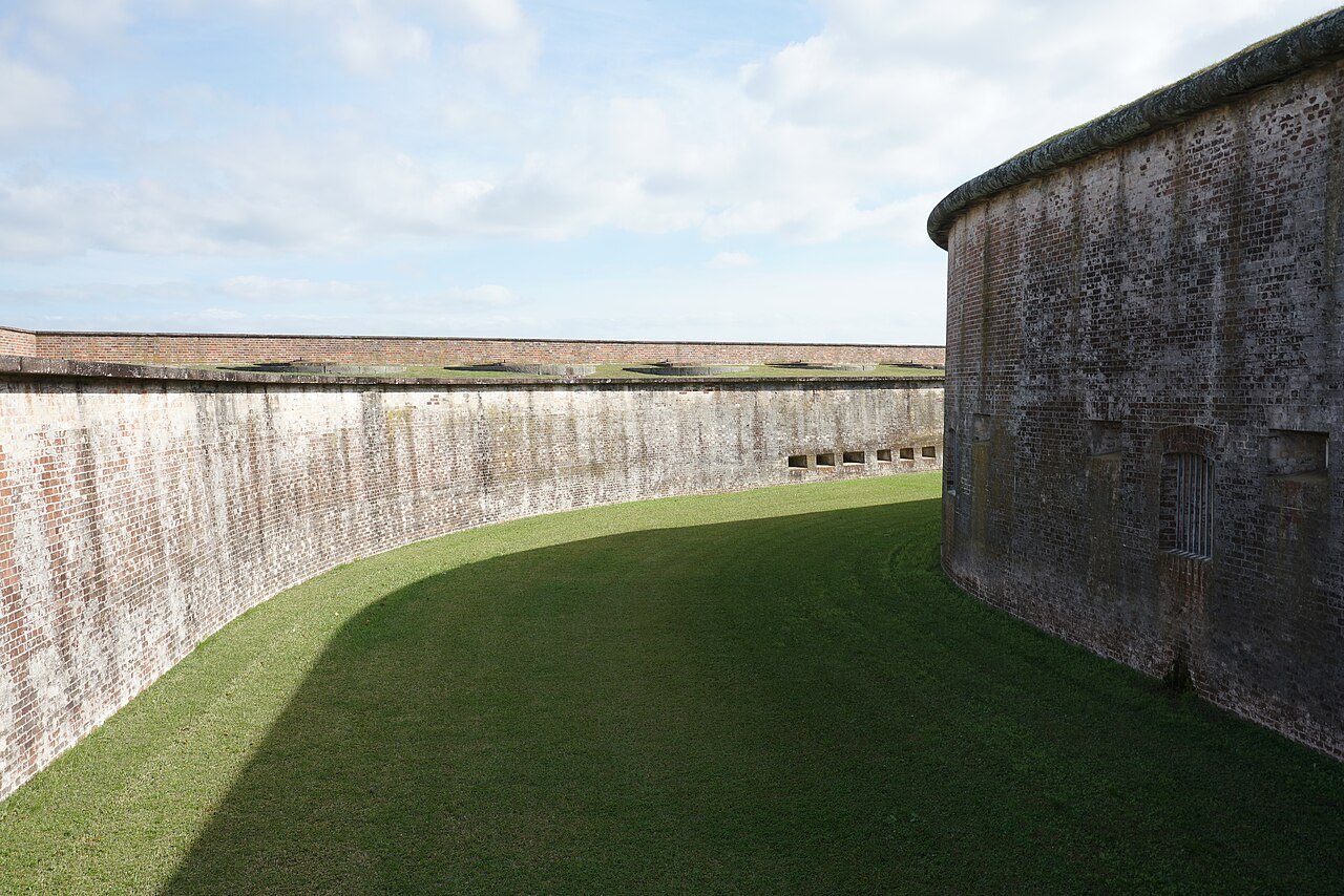
The landmarks, from the mountains to the sea
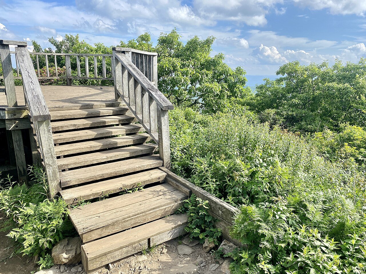
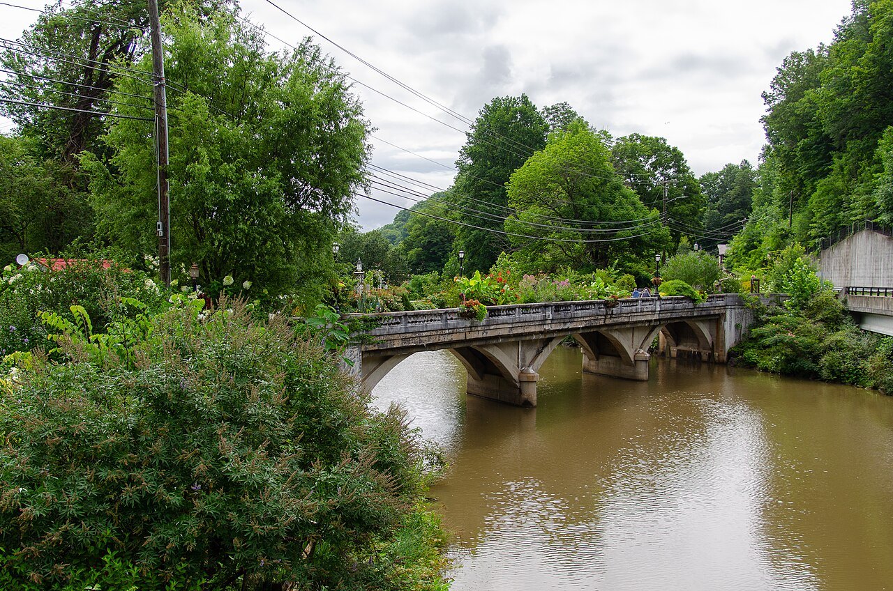
The Mountains
The Blue Ridge, the Black Mountains and the North Carolina side of the Smokies
The Piedmont
The rolling middle: Charlotte, the Triad, the Triangle and the old tobacco and mill towns
The Coast
The coastal plain, the sounds, the Outer Banks and the southern capes