THE COAST · HATTERAS ISLAND
Cape Hatteras, the lighthouses and the national seashore
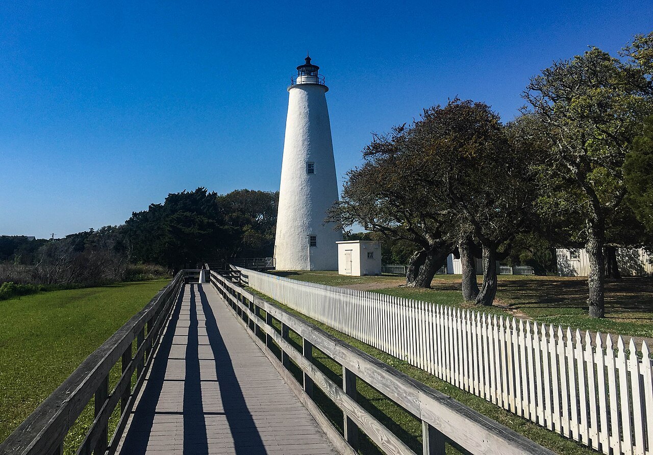
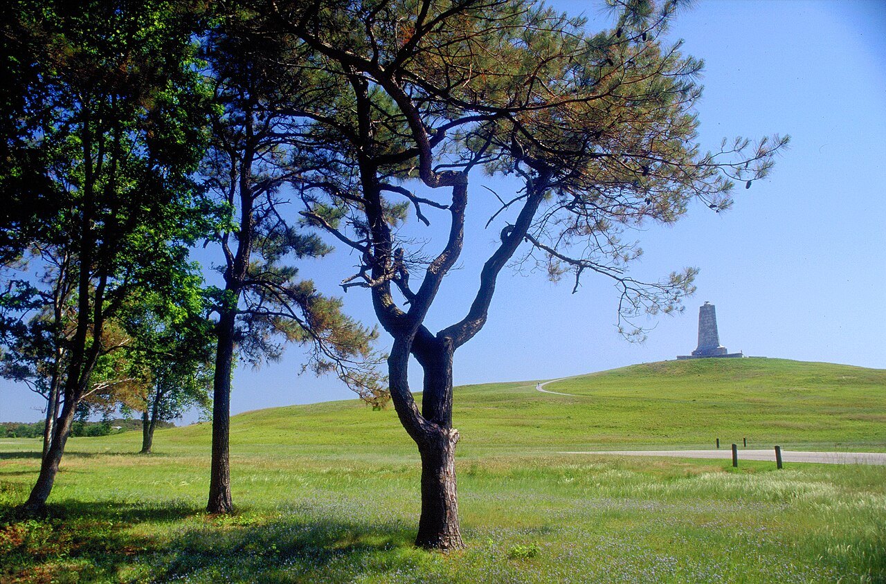
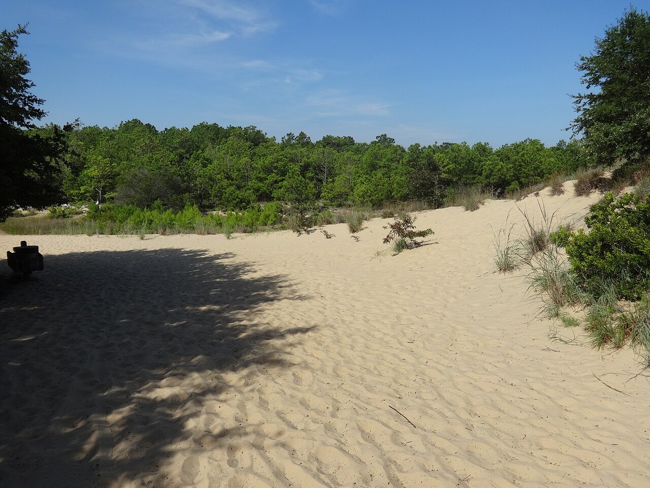
Photographs: Cape Hatteras National Seashore, Wikimedia Commons, Public domain · Jschildk, Wikimedia Commons, CC BY-SA 4.0 · Bohemian Baltimore, Wikimedia Commons, CC BY-SA 4.0
The Coast · landmark 16 of 21
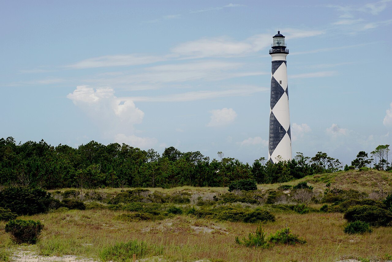
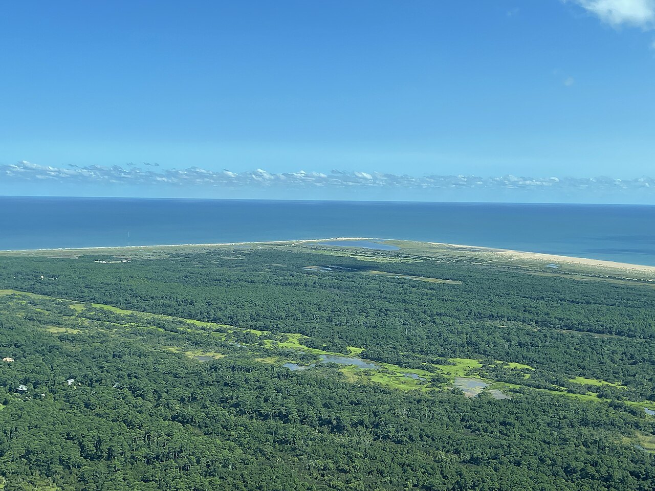
Seventy miles of protected barrier islands from Bodie Island to Ocracoke, the first national seashore in the country, with the black-and-white spiral of the Cape Hatteras Light, moved half a mile inland in 1999, standing guard over the shoals called the Graveyard of the Atlantic.
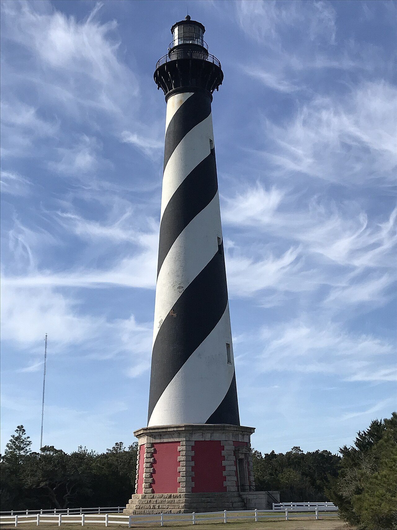
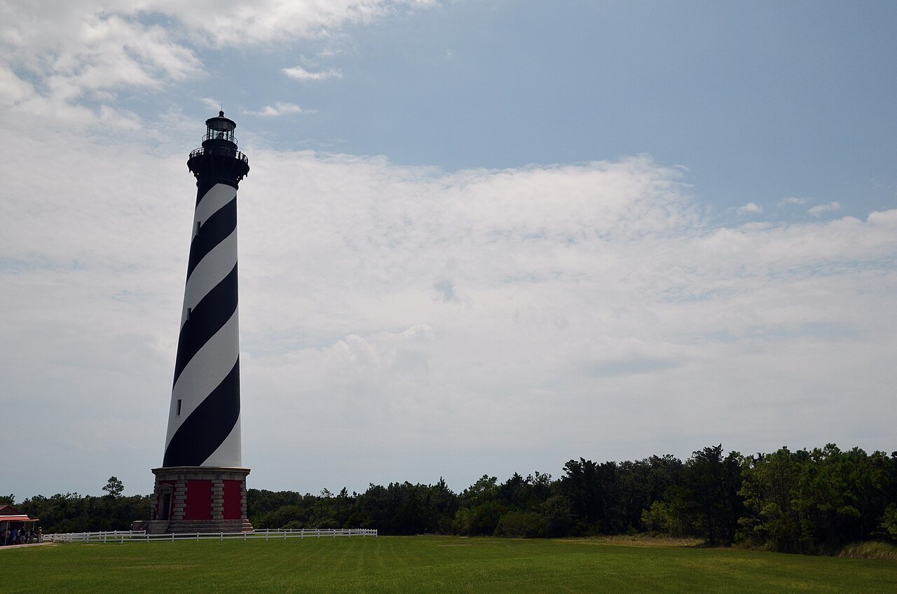
- Cape Hatteras LightThe tallest brick lighthouse in the United States, painted in a black and white double spiral.
- The Move of the MillenniumIn 1999 the whole tower was moved 2,900 feet inland, away from the eroding shore.
- The Museum of the SeaThe Hatteras Island visitor center, in the lighthouse keepers' double quarters at Buxton.
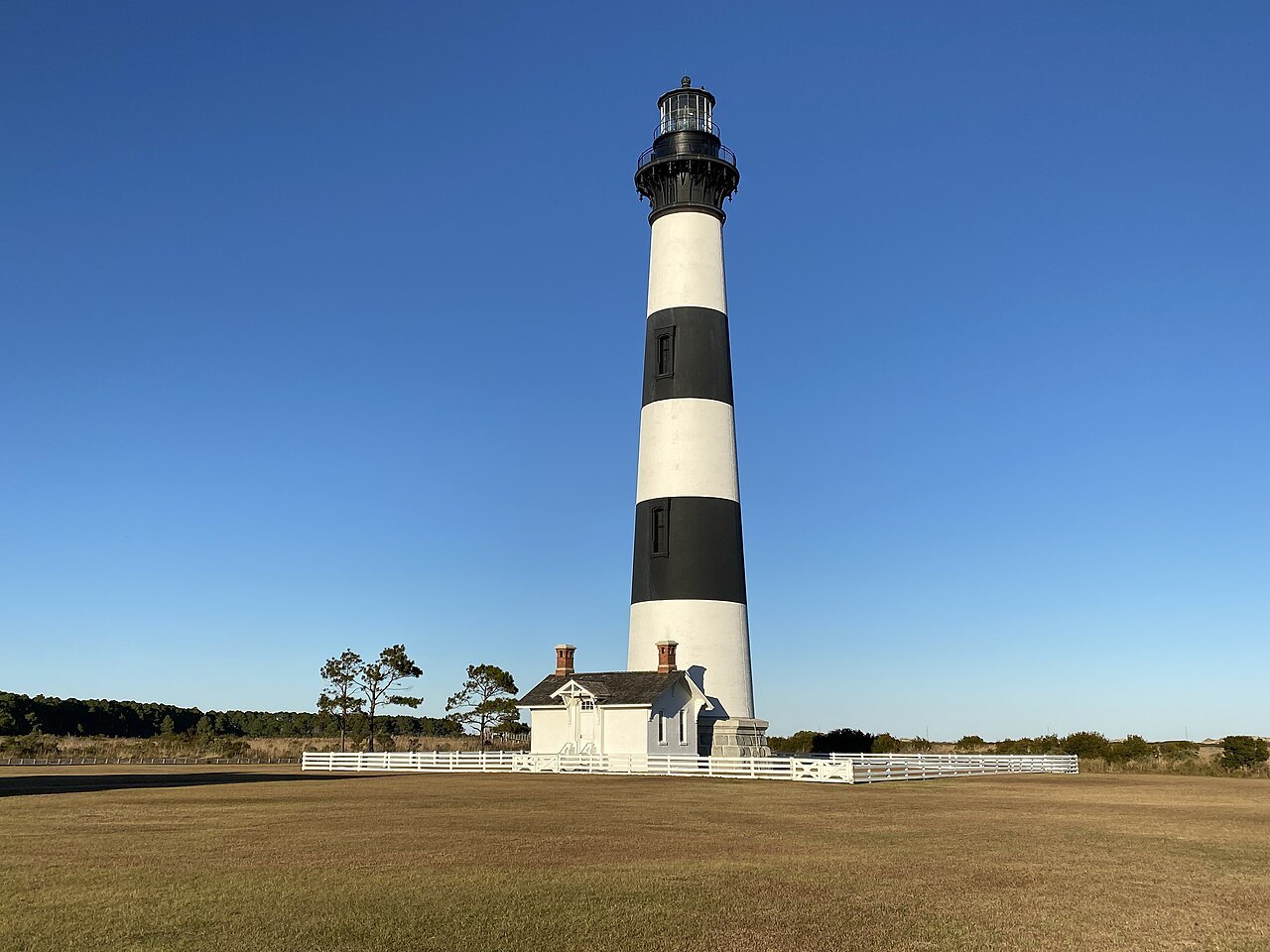
- Bodie Island LightA banded tower of 1872 on the sound side, climbable since 2013, with its original lens.
- Diamond ShoalsThe shifting sandbars off Cape Point that wrecked so many ships the coast earned its nickname.
- Pea IslandA national wildlife refuge on the drive south, a wintering ground for migrating waterfowl.
Why it matters
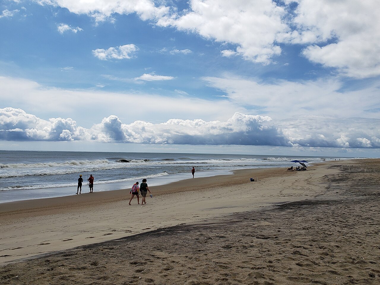
Cape Hatteras National Seashore protects more than seventy miles of the Outer Banks, from Bodie Island south to Ocracoke, along the single highway, NC 12. Authorized in 1937 and established in 1953, it was the first national seashore in the United States, and much of its land was bought with money given by the philanthropist Paul Mellon.
The seashore is beach, dune, marsh and maritime forest, with fishing and surfing, and a rich history of shipwrecks, lighthouses and lifesavers. Its symbol is the Cape Hatteras Light at Buxton, the tallest brick lighthouse in the country, whose black and white spiral often ranks high on lists of the country's most beautiful and famous lighthouses.
The Graveyard of the Atlantic
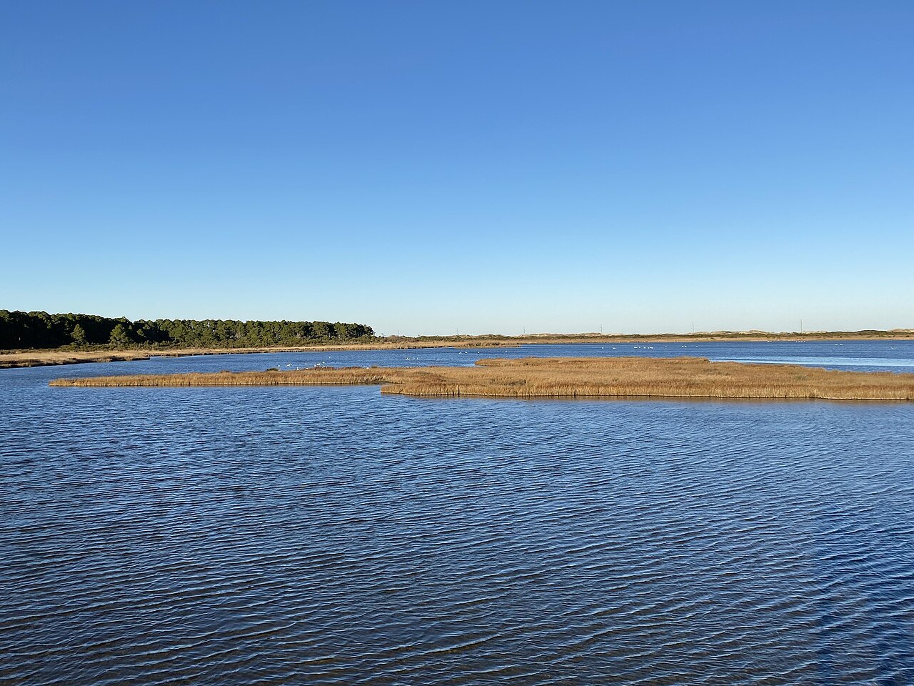
Atlantic currents made this coast a fast road for ships, except at Cape Hatteras. Here Diamond Shoals, shifting sandbars, run out from the point for about ten nautical miles, and just offshore the warm Gulf Stream meets the cold Labrador Current, breeding storms and heavy seas. Vessels passing north or south rounded the breakers as closely as they dared to avoid the Gulf Stream, and so many ran aground that the waters became known as the Graveyard of the Atlantic.
In 1942 German U-boats attacked ships just off the coast, and the Coast Guard used the lighthouse as a lookout station until 1945.
Three lighthouses at the cape
Congress ordered a lighthouse for the cape in 1794, and the first tower, of dark sandstone, was finished in 1802. Its light was poor: in 1851 a naval officer, David Porter, called it the worst light in the world, at the most important point on the coast.
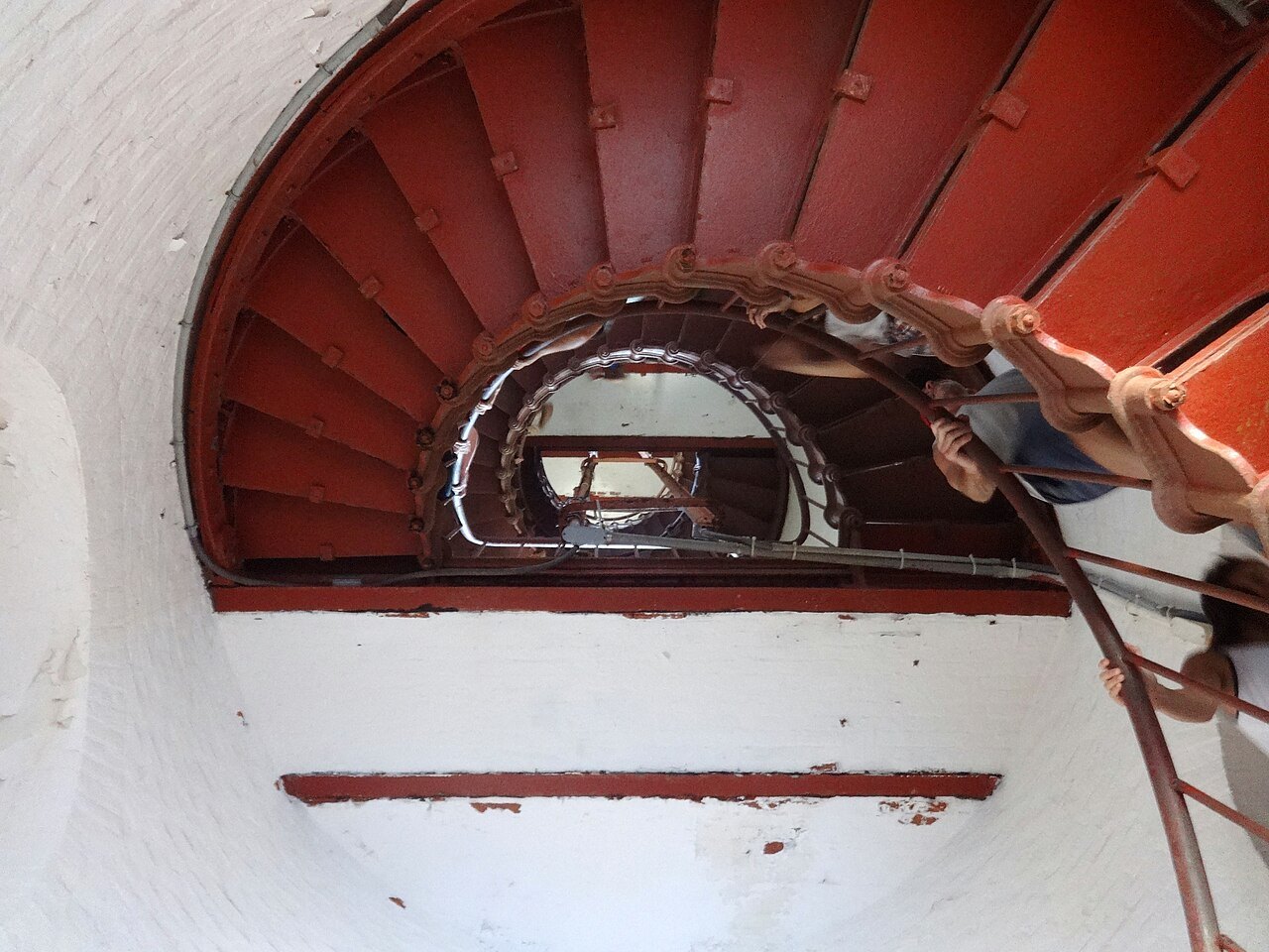
The present tower was completed in 1870, and its first-order light was first shown on December 16, 1871. It stands about 200 feet tall, the tallest brick lighthouse tower in the world when it was built, made of some one and a quarter million bricks, with 257 steps to the light. Its black double spiral on white is a daymark: each of North Carolina's tall lights wears its own pattern so that sailors can tell them apart by day.
The sea kept coming. By 1935 the surf reached the base, the light was moved to a steel tower in the woods, and the brick tower was given to the National Park Service; sand built the beach back, and the light returned to the old tower in 1950.
The Move of the Millennium
By the late 1990s the ocean was just fifteen feet from the tower. After years of argument and lawsuits over whether it would survive, the lighthouse was moved 2,900 feet to the southwest in 1999, with the keepers' houses and every other building of the station, set back down in their original compass orientation around it. The move, finished on September 14, 1999, left the light about 1,500 feet from the shoreline.
It is one of the tallest masonry structures ever moved, some 5,000 tons, and it won the engineers a national award. The keepers' double quarters now hold the Hatteras Island Visitor Center and Museum of the Sea, with exhibits on the maritime heritage and natural history of the Outer Banks.
Bodie Island Light
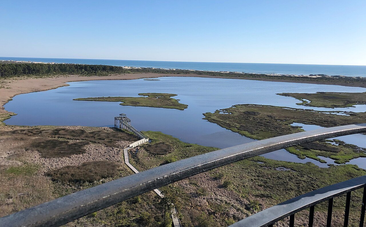
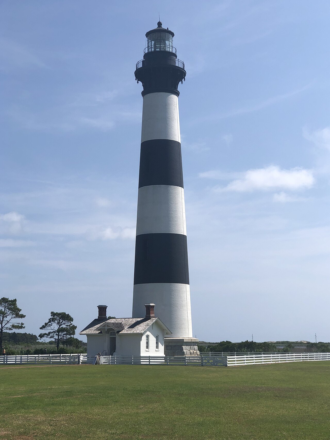
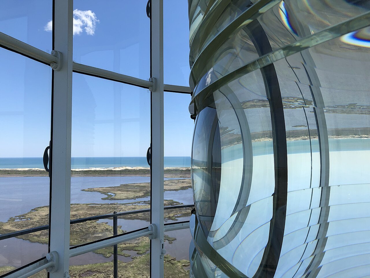
At the north end of the seashore, just south of Nags Head and a few miles before Oregon Inlet, the Bodie Island Lighthouse stands on the sound side in horizontal black and white bands. It is the third light on the site: the first, of 1847, had a poor foundation, and the second was blown up by retreating Confederate troops in 1861 so it could not serve as a Union lookout. The present tower of 1872 is 156 feet tall and keeps its original first-order Fresnel lens.
It was restored between 2009 and 2013 and opened to climbers, with 219 steps spiraling to the top. The Bodie Island Visitor Center stands beside it, and the Park Service runs tours of the tower in season.
The islands and the birds
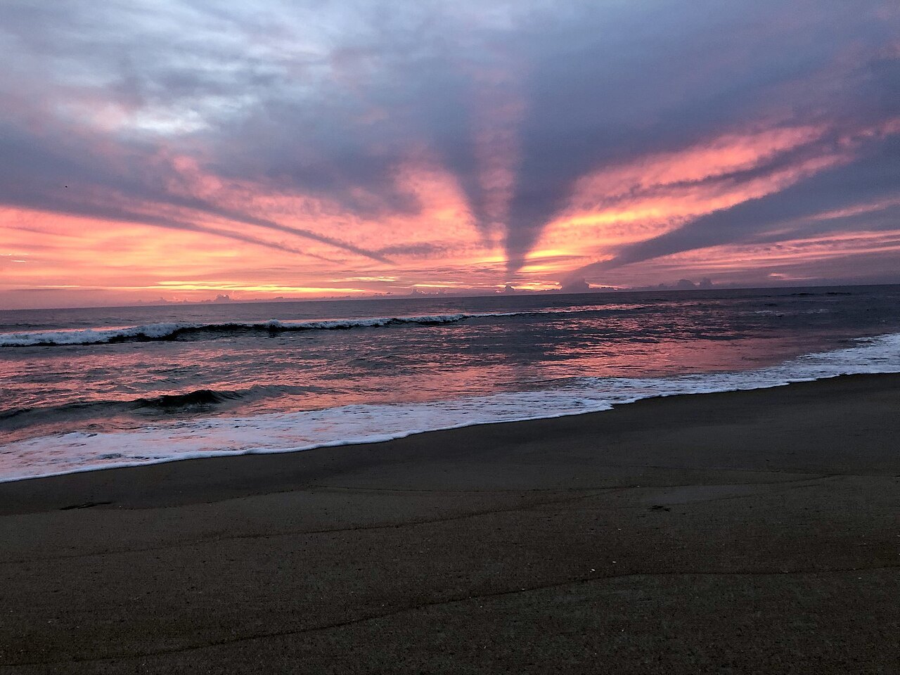
Between the two lights, NC 12 crosses Oregon Inlet on the Marc Basnight Bridge to Pea Island National Wildlife Refuge, then runs down Hatteras Island through Rodanthe, Salvo, Waves, Avon, Buxton and Frisco to Hatteras village. The refuge and the villages lie along the road but outside the seashore's boundaries. The road was mostly sand until it was paved through the 1950s and early 1960s, and it is now part of the Outer Banks Scenic Byway. The islands are a valuable wintering ground for migrating waterfowl, and shorebirds and sea turtles nest on the beaches.
Driving on the sand is part of island life, and a management plan of 2012 sets aside some stretches of beach as vehicle routes and keeps others for the birds and turtles while they nest. Rodanthe has one of the highest rates of beach erosion on the Banks. In 2022 a bridge of almost two and a half miles, built out over Pamlico Sound, took the road around the village, replacing a stretch known for closures from overwash, flooding and drifting sand.
How to visit
Drive south from Nags Head on NC 12 and stop at Bodie Island first, then cross to Hatteras Island for the lighthouse and the museum at Buxton. The state ferry from Hatteras village carries cars on to Ocracoke, a crossing of about an hour; Ferries explains how the crossings work. Hurricane season runs from June through November, peaking from late August through September, and storms can wash sand and water over NC 12, so look at the Park Service's own site for climbing seasons and road conditions before you set out.
Pair the seashore with the Wright Brothers National Memorial and the dunes of Jockey's Ridge at the northern gateway.
Nearby