THE LANDMARKS · MOUNTAINS, PIEDMONT, COAST
The landmarks of North Carolina
Photographs: WillThomas, Wikimedia Commons, CC BY 4.0 · Bigmacthealmanac, Wikimedia Commons, CC BY-SA 4.0 · Maria Kozmina, Wikimedia Commons, CC BY-SA 4.0
Access North Carolina · Twenty-one places
Twenty-one landmarks in the three regions of the state, from the Blue Ridge and the Smokies through the rolling Piedmont to the sounds, capes and islands of the coast, each with its own page, its history and what to see.
The twenty-one landmarks
The Mountains
The Blue Ridge, the Black Mountains and the North Carolina side of the Smokies
The Piedmont
The rolling middle: Charlotte, the Triad, the Triangle and the old tobacco and mill towns

The Coast
The coastal plain, the sounds, the Outer Banks and the southern capes

Three regions
The geography of North Carolina falls naturally into three parts: the Appalachian Mountains in the west, among them the Blue Ridge and the Great Smoky Mountains; the Piedmont plateau in the middle; and the Atlantic coastal plain in the east. The state is 503 miles long and 150 miles wide, and it slopes from summits near seven thousand feet in the west to sea level on the beaches of the Atlantic.
The landmarks on this site are grouped the same way, and each region has its own character, its own season and its own way of travelling. Mountains mean slow roads and high views, the Piedmont means cities, colleges and history, and the coast means islands, ferries and lighthouses. The road trips follow the fall of the land from west to east.
The Mountains
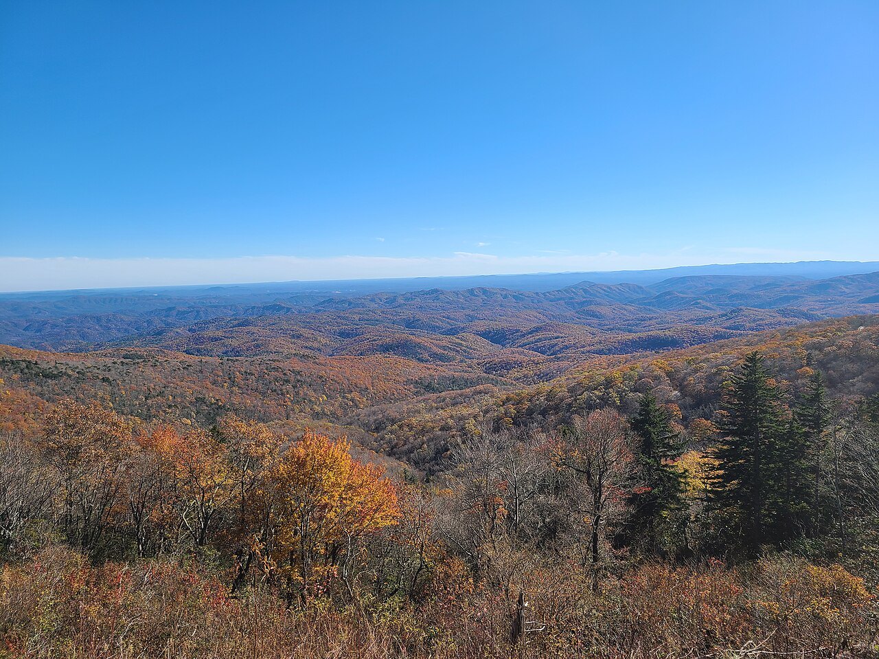
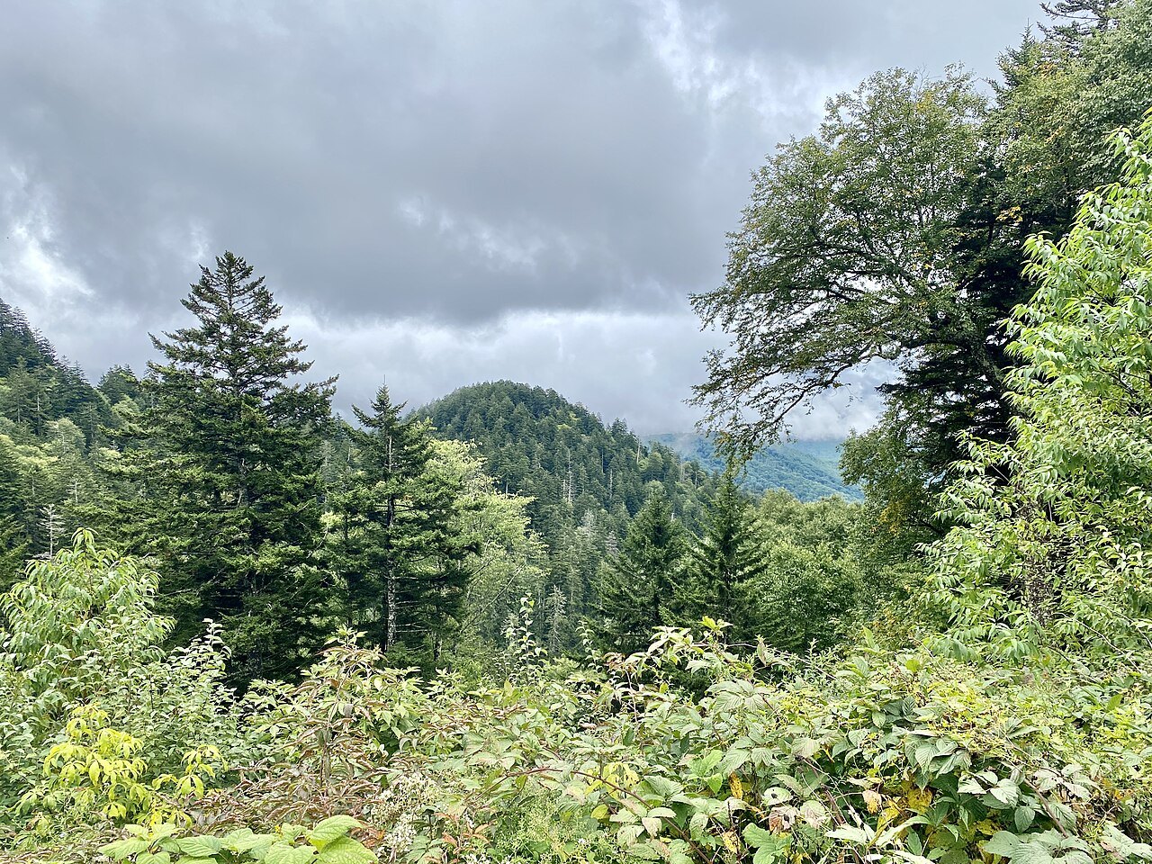
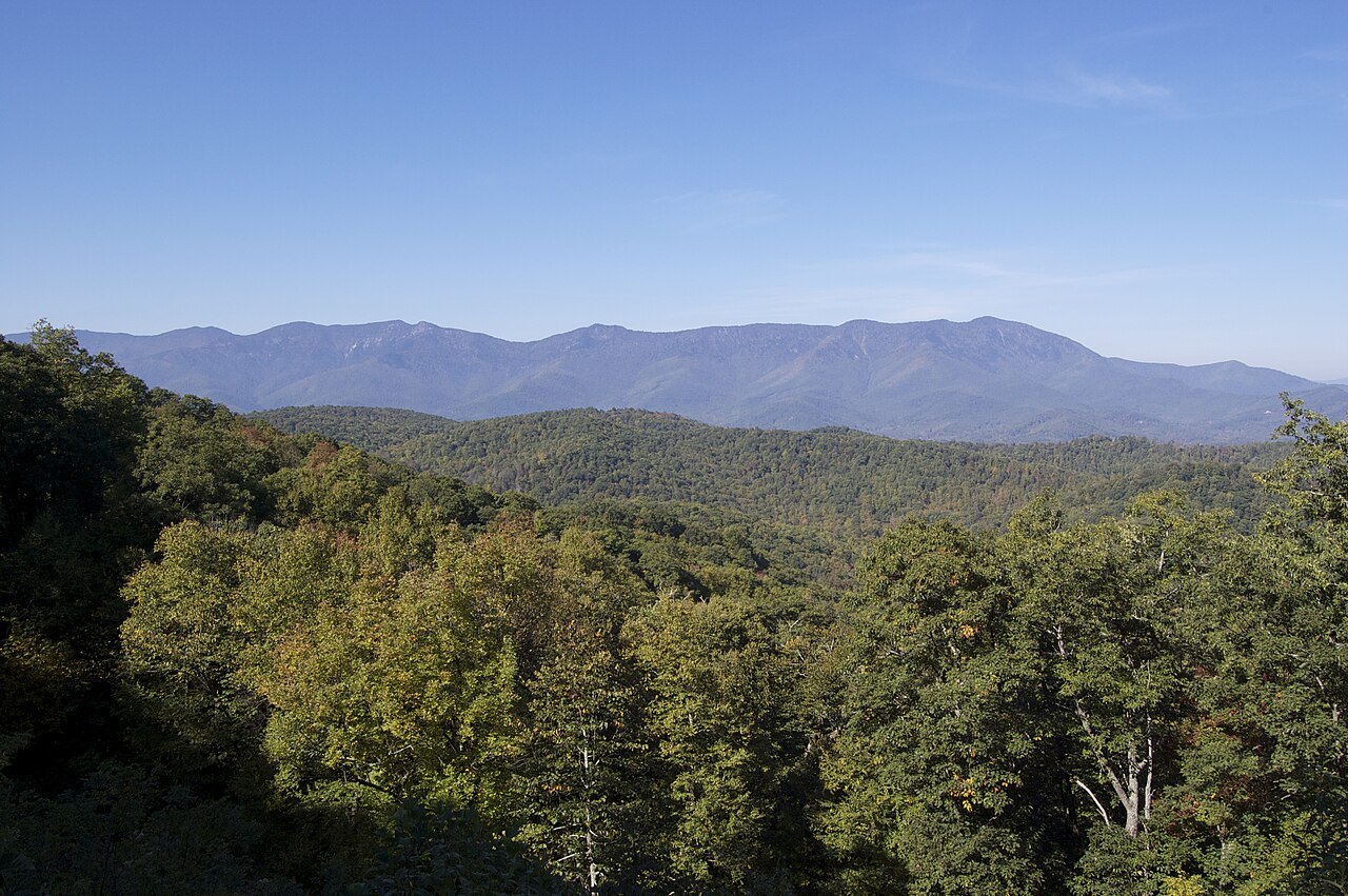
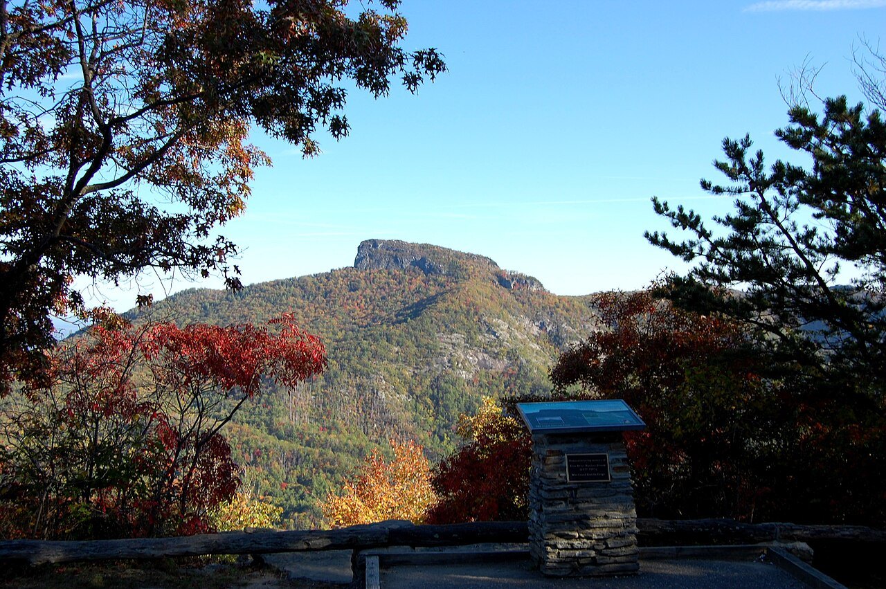
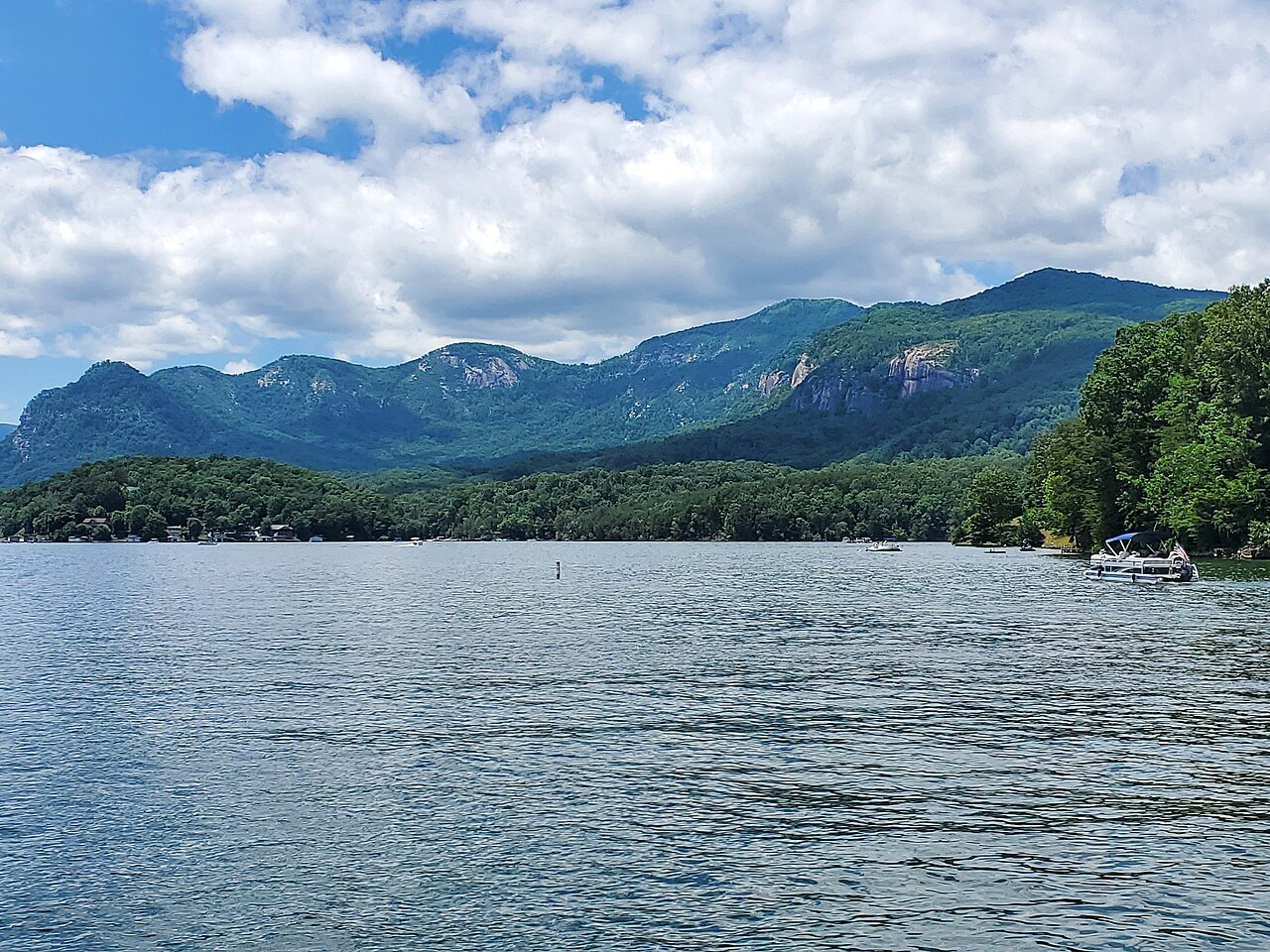
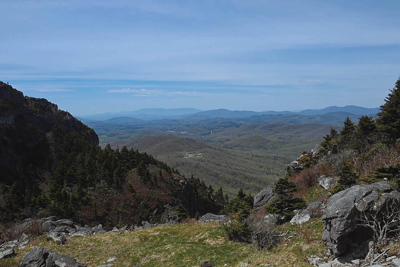
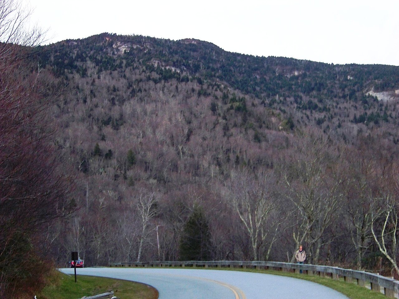
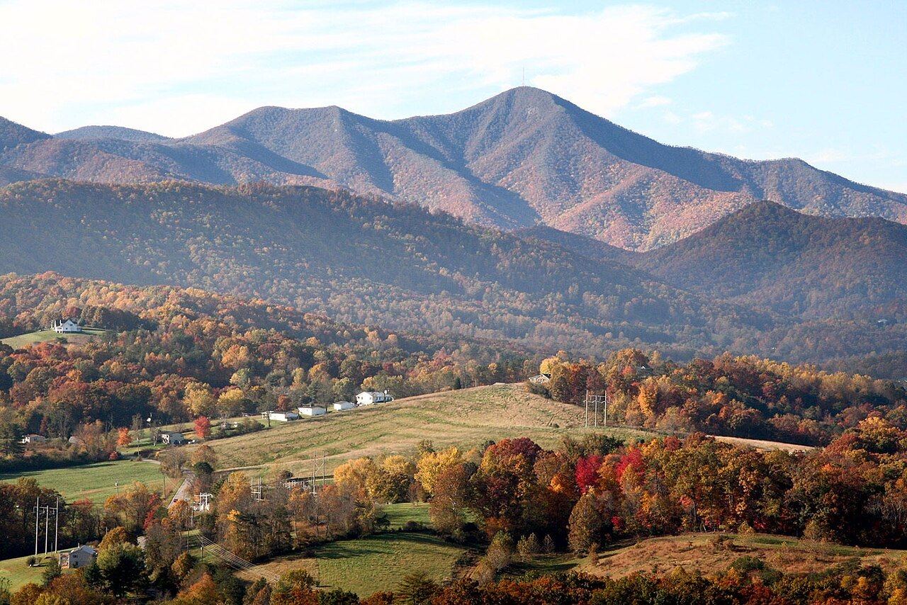
North Carolina's mountains fall into several chains. The Blue Ridge, the state's largest range, winds across the west in a tortuous course, throwing out spurs of great height, and its eastern edge rises abruptly from the Piedmont as an escarpment. The Black Mountains, a spur of the Blue Ridge, are the highest in the eastern United States, and culminate in Mount Mitchell at 6,684 feet. The Great Smoky Mountains, on the Tennessee line, are more continuous and rise very uniformly above five thousand feet. The Blue Ridge takes its name from the bluish haze its trees put into the air.
Oddly, the divide between the waters of the Atlantic and those of the Gulf of Mexico runs not along the Smokies, the tallest mountains, but along the lower Blue Ridge to the east. Rivers in the far west, such as the French Broad, flow northwest toward the Mississippi, cutting deep gorges through the higher ranges, while those of the Piedmont run south and those of the east run out to the sounds. Lower spurs, the Brushy Mountains and the South Mountains, reach out from the Blue Ridge as foothills.
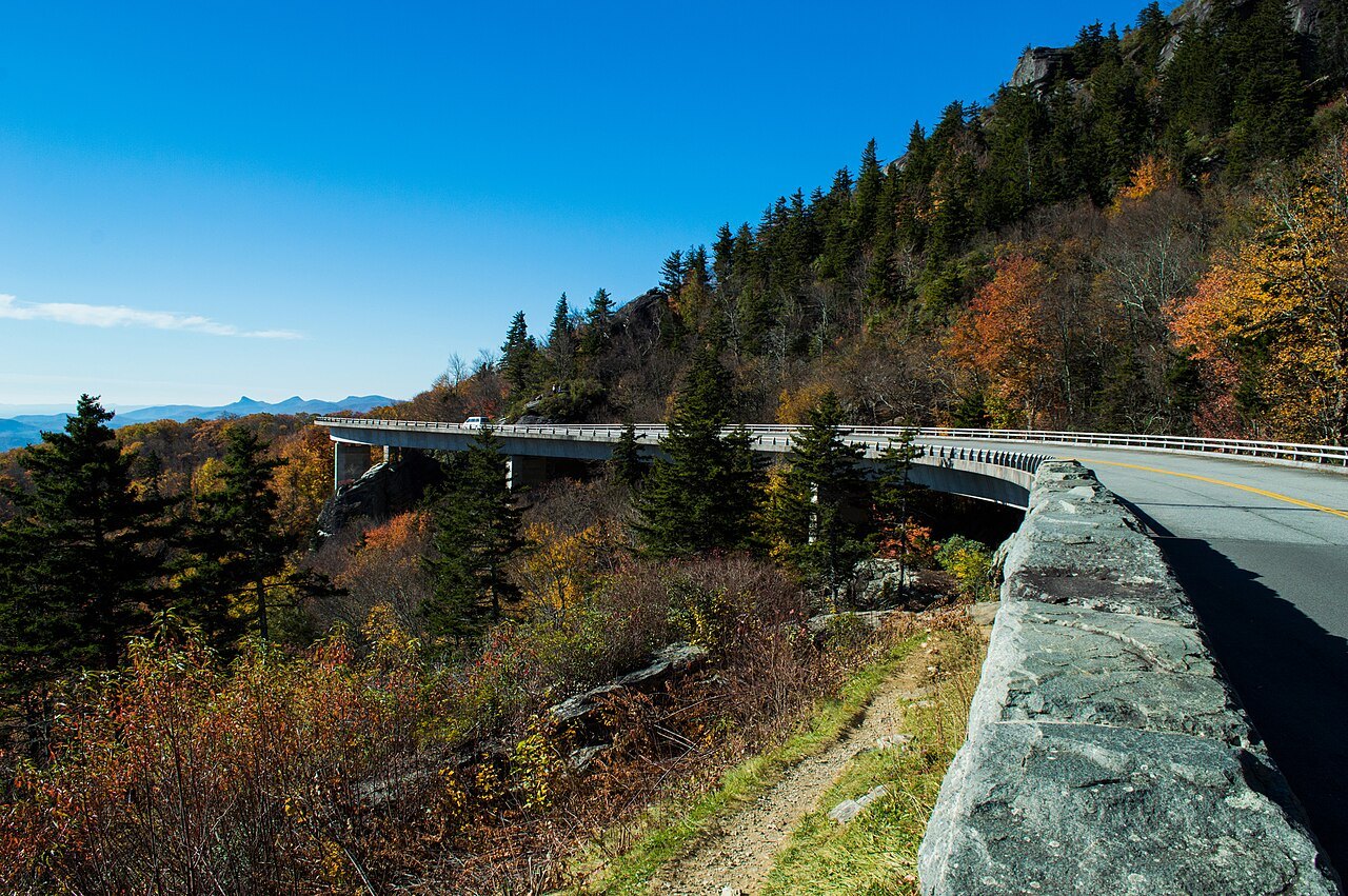
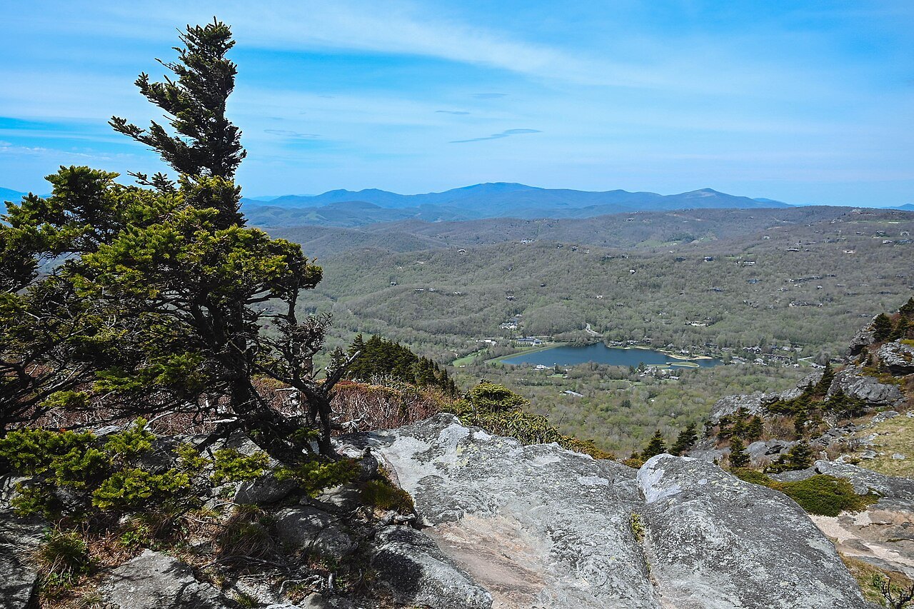
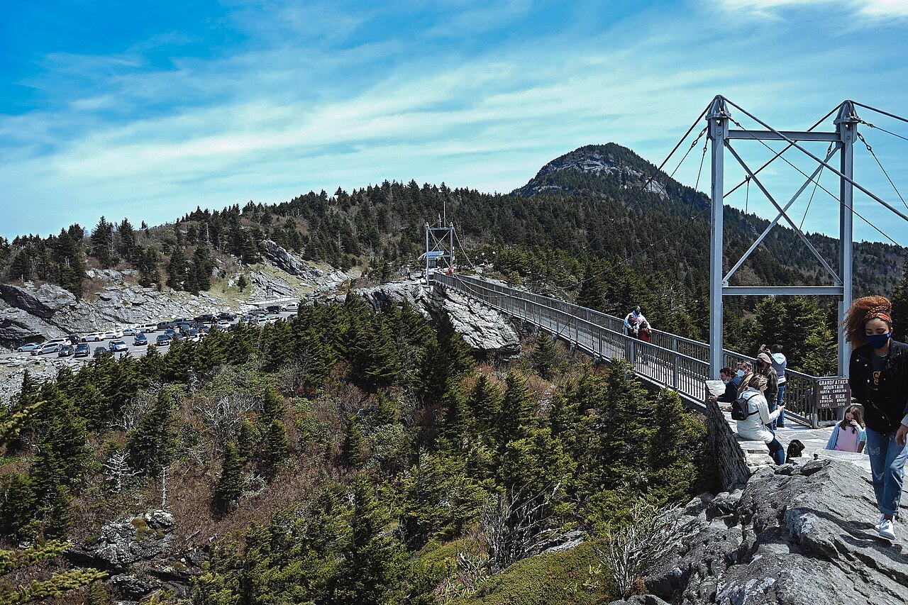
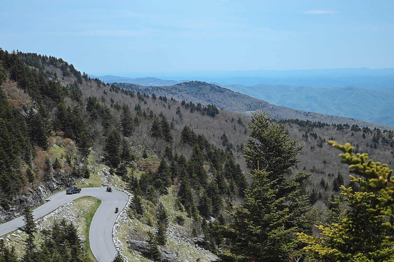
The mountain landmarks follow the Blue Ridge Parkway, the long park road along the crest. At its southern end lies the North Carolina side of the Smokies, around Oconaluftee and the Cherokee homeland. Near its middle, the summit of Mount Mitchell is the highest point in the East, and to the north the Parkway curls around Grandfather Mountain on the Linn Cove Viaduct and passes Linville Falls and its gorge.
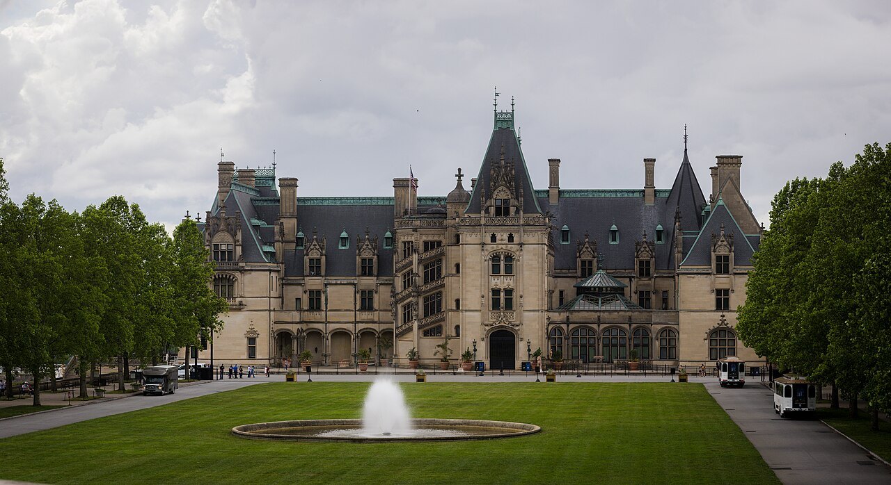
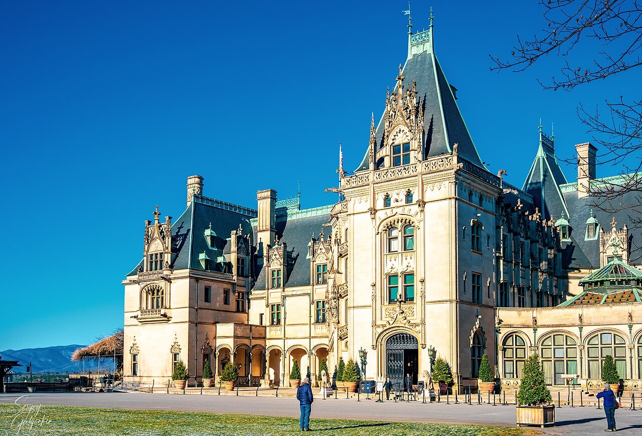
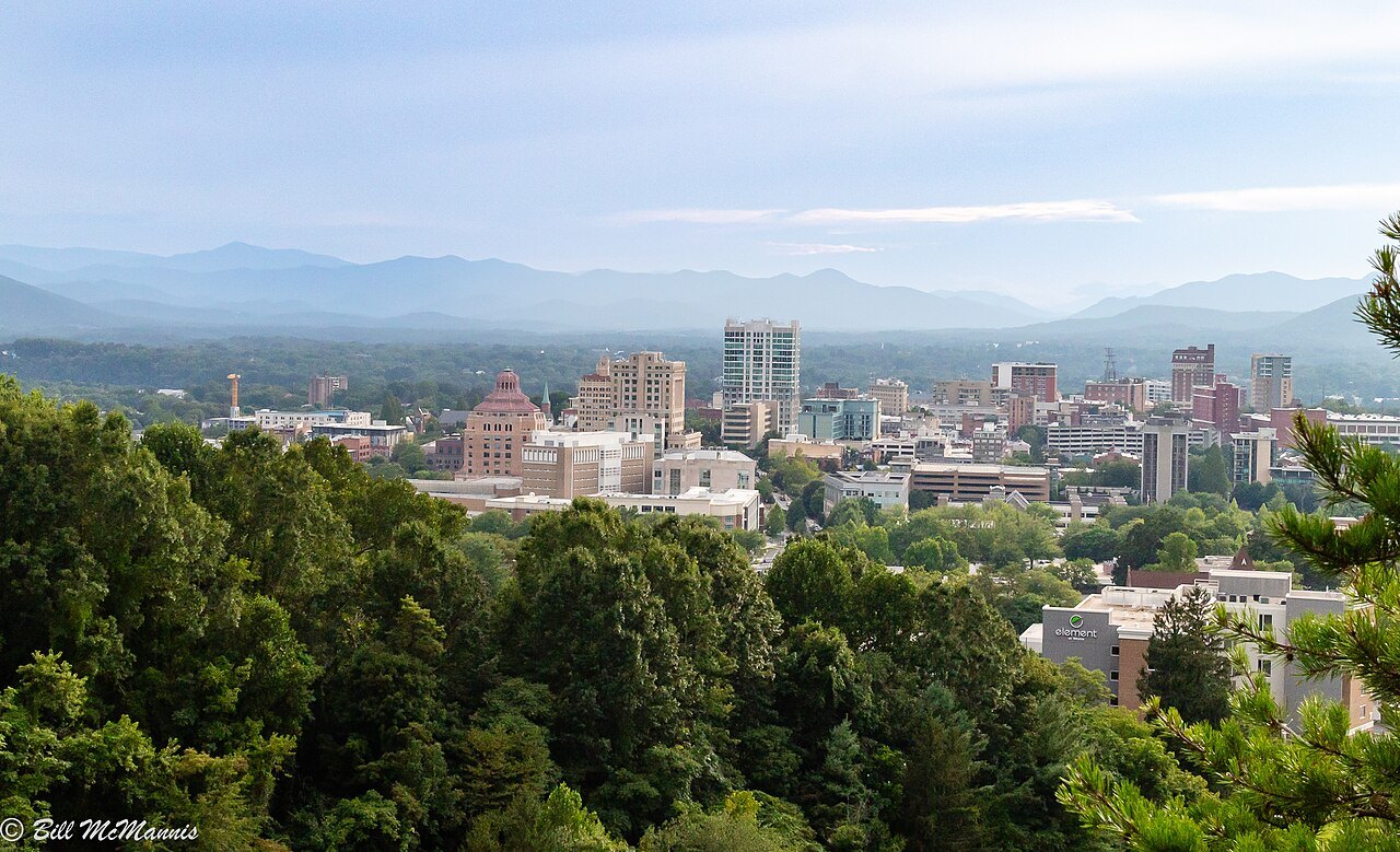
Around Asheville stand two landmarks of a different kind: Biltmore, George Vanderbilt's great house of the Gilded Age, and, to the southeast, Chimney Rock, the gneiss tower above Hickory Nut Gorge, where Hurricane Helene struck hardest in 2024.
The Piedmont
The Piedmont plateau fills the middle third of the state. It is a land of rolling hills between about 300 and 1,100 feet, the most urban and densely populated part of North Carolina, home to Charlotte, the Triad and the Triangle. It is the remnant of ancient mountain chains worn down over time, and a few isolated ranges still rise from it, among them the Sauratown Mountains and the Uwharries, the lowest range in the state. Tobacco made much of its wealth, and the Catawba were its original people.
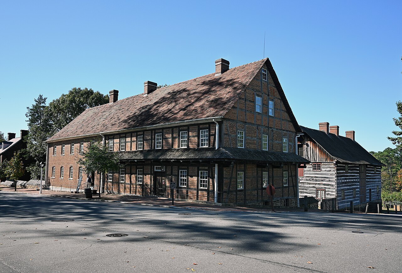
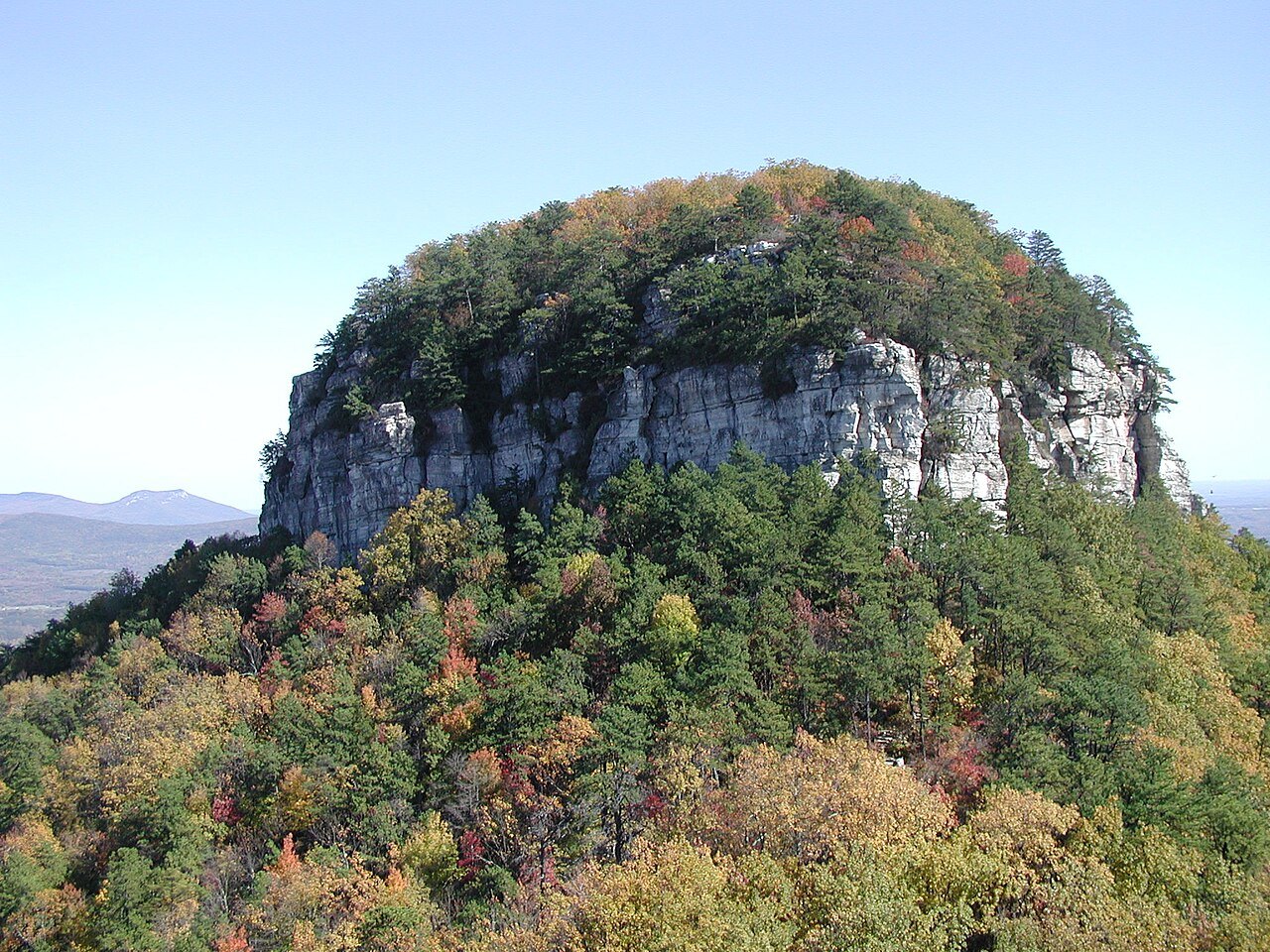
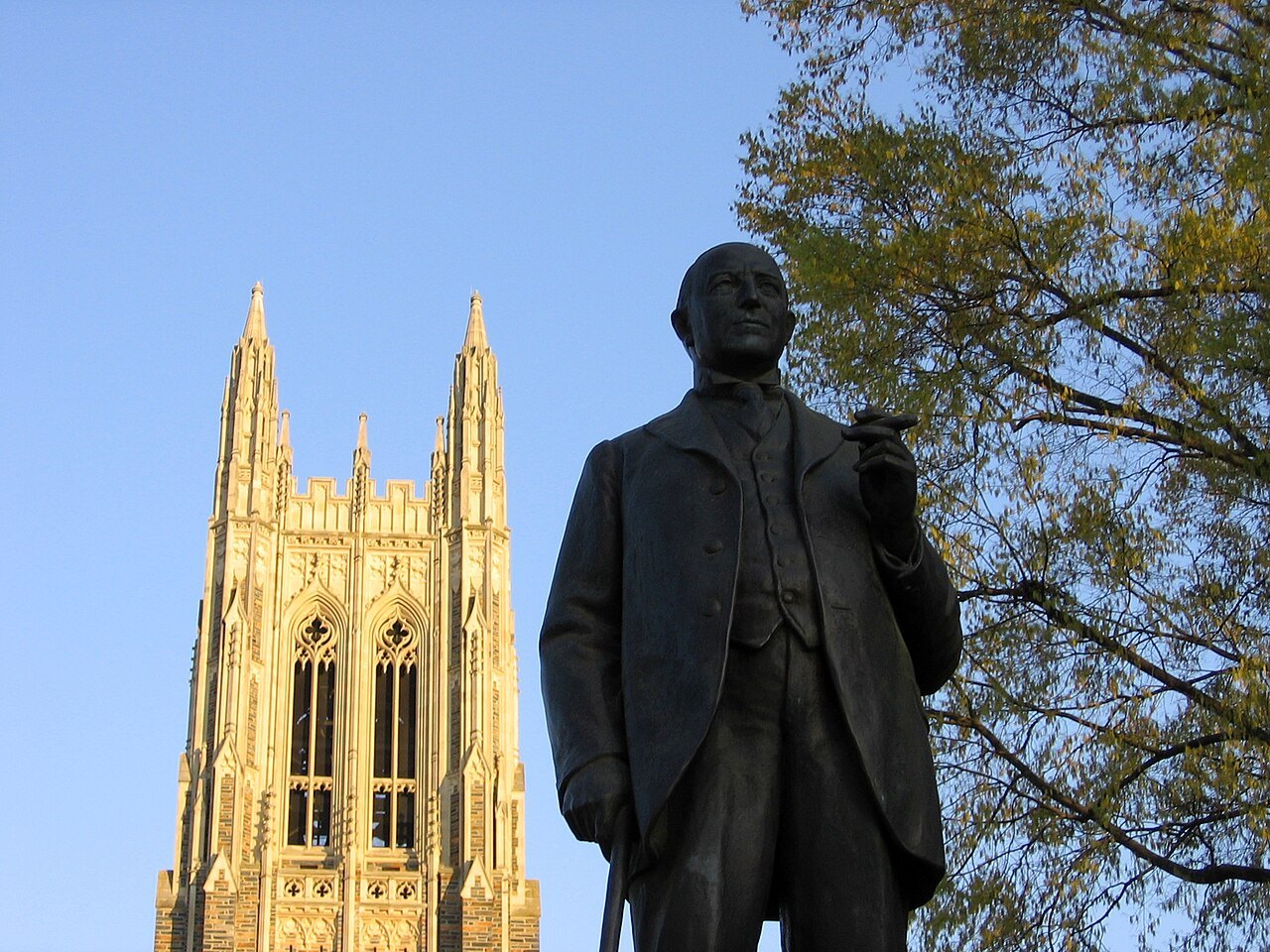
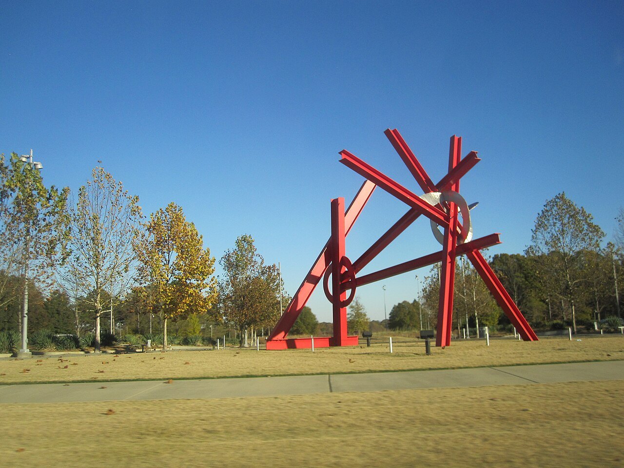
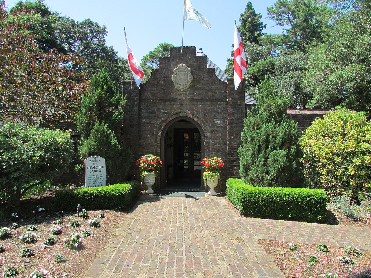
Its landmarks are its old towns, its colleges and its capital. In Winston-Salem, Old Salem keeps the Moravian town of 1766, and north of the city Pilot Mountain stands alone above the fields, the quartzite knob that travelers have steered by for centuries. In Durham, Duke Chapel rises over the university's Gothic campus, and in Raleigh the State Capitol of 1840 stands on Union Square beside the state's museums, with the North Carolina Museum of Art and its park on the west side of the city.
The Coast
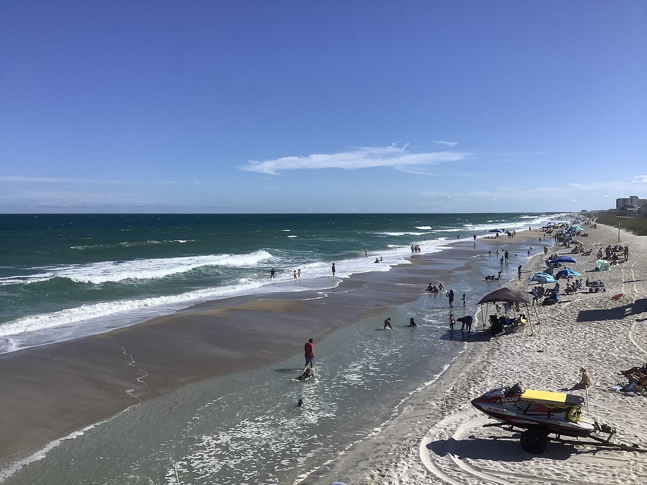
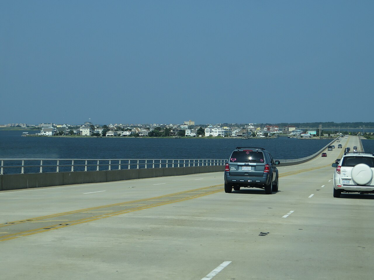
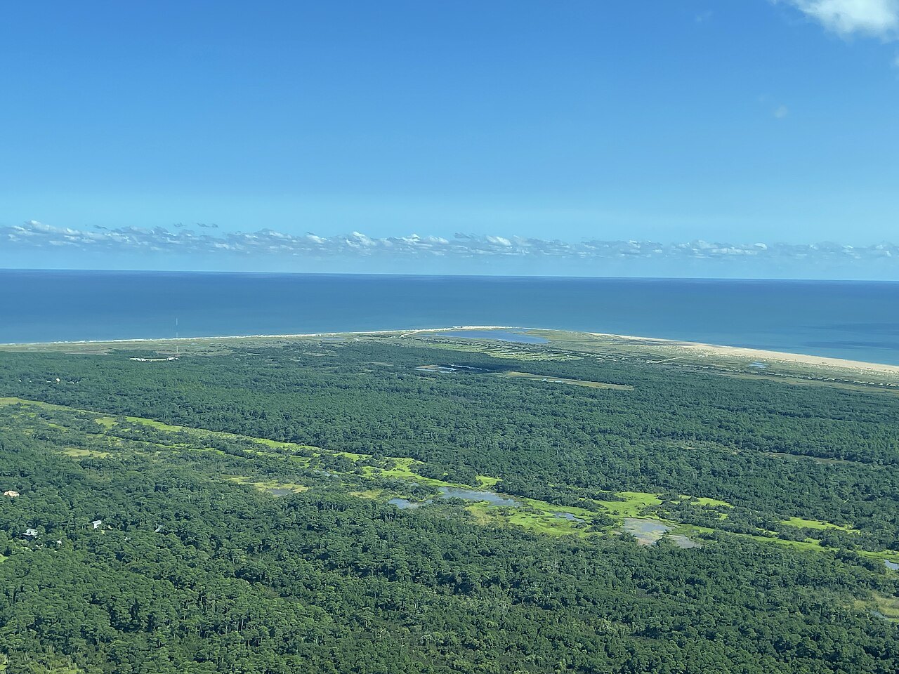
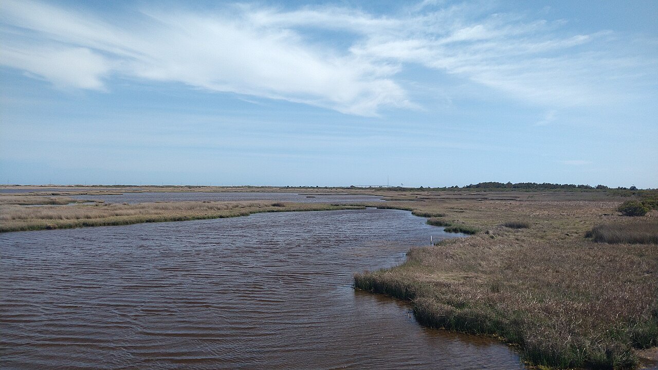
The coastal plain is the largest region of the state, about 45 percent of its land. It begins at the fall line, where rivers tumble over rapids as they leave the hard rocks of the Piedmont, and it runs out flat and sandy to the sounds, its rivers wider, deeper and slower than those of the uplands, its soils good for tobacco, cotton and melons, and much of it covered by pine forest. Albemarle Sound and Pamlico Sound are the two largest landlocked sounds in the United States, Pamlico larger than the state of Connecticut, and outside them the Outer Banks, a chain of barrier islands, stand between the mainland and the Atlantic.
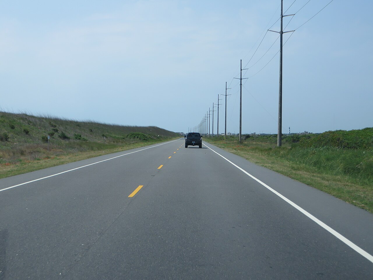
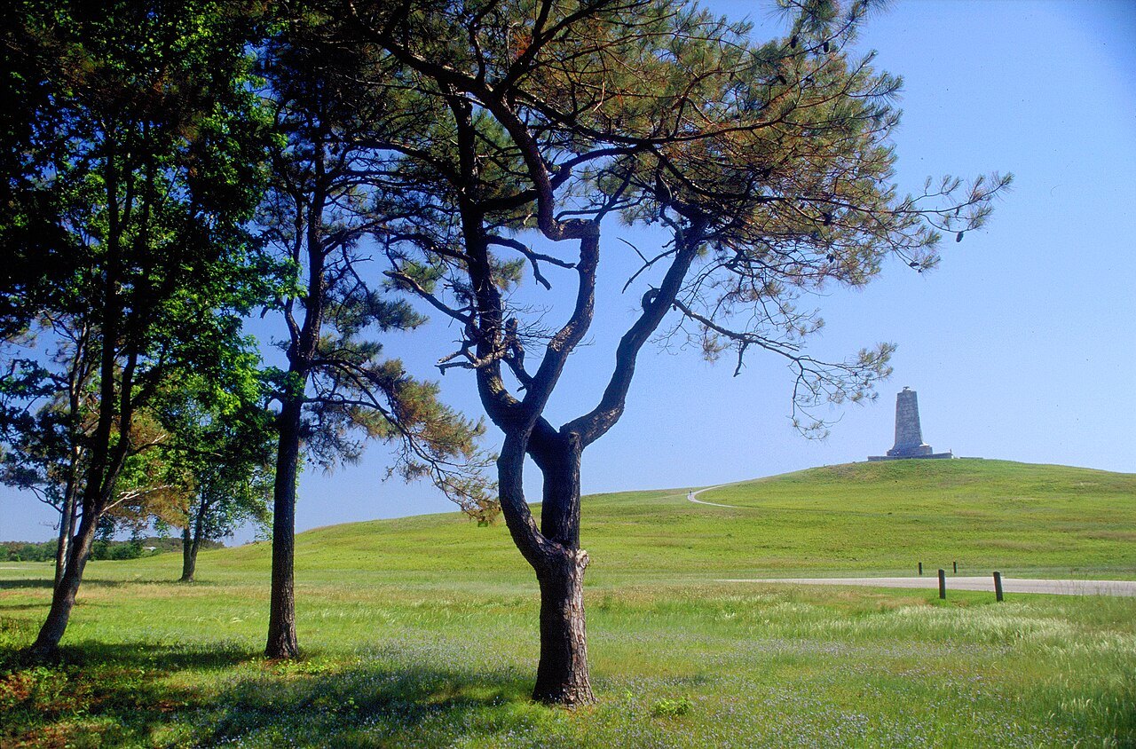
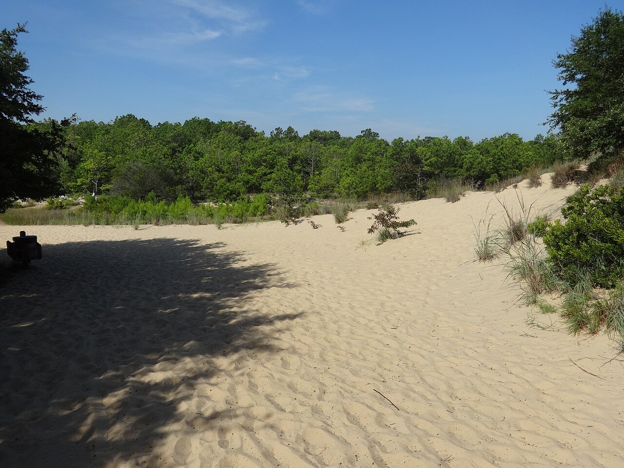
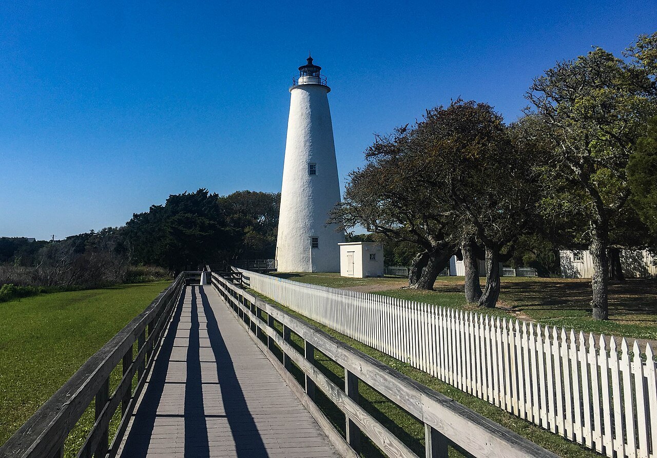
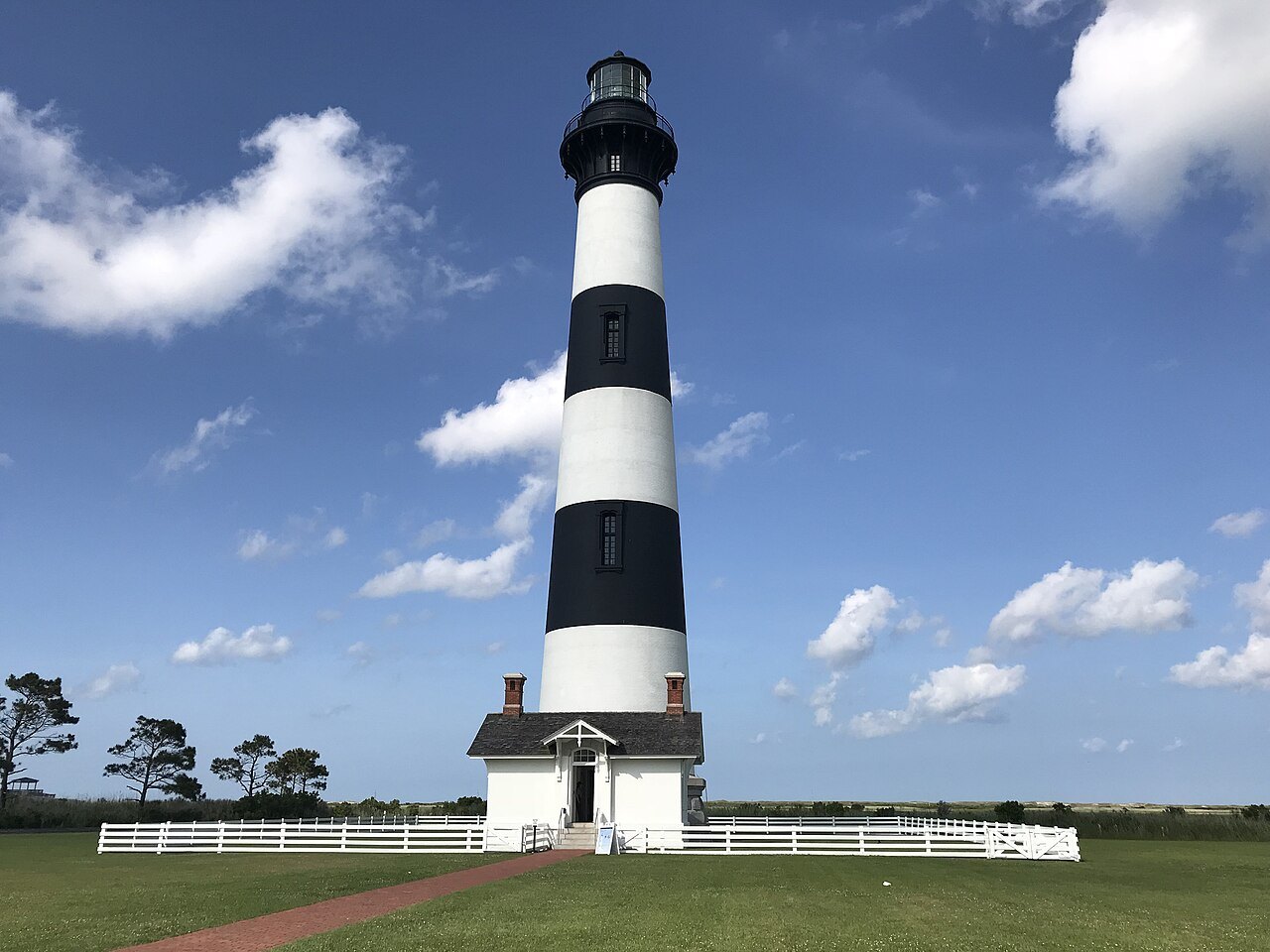
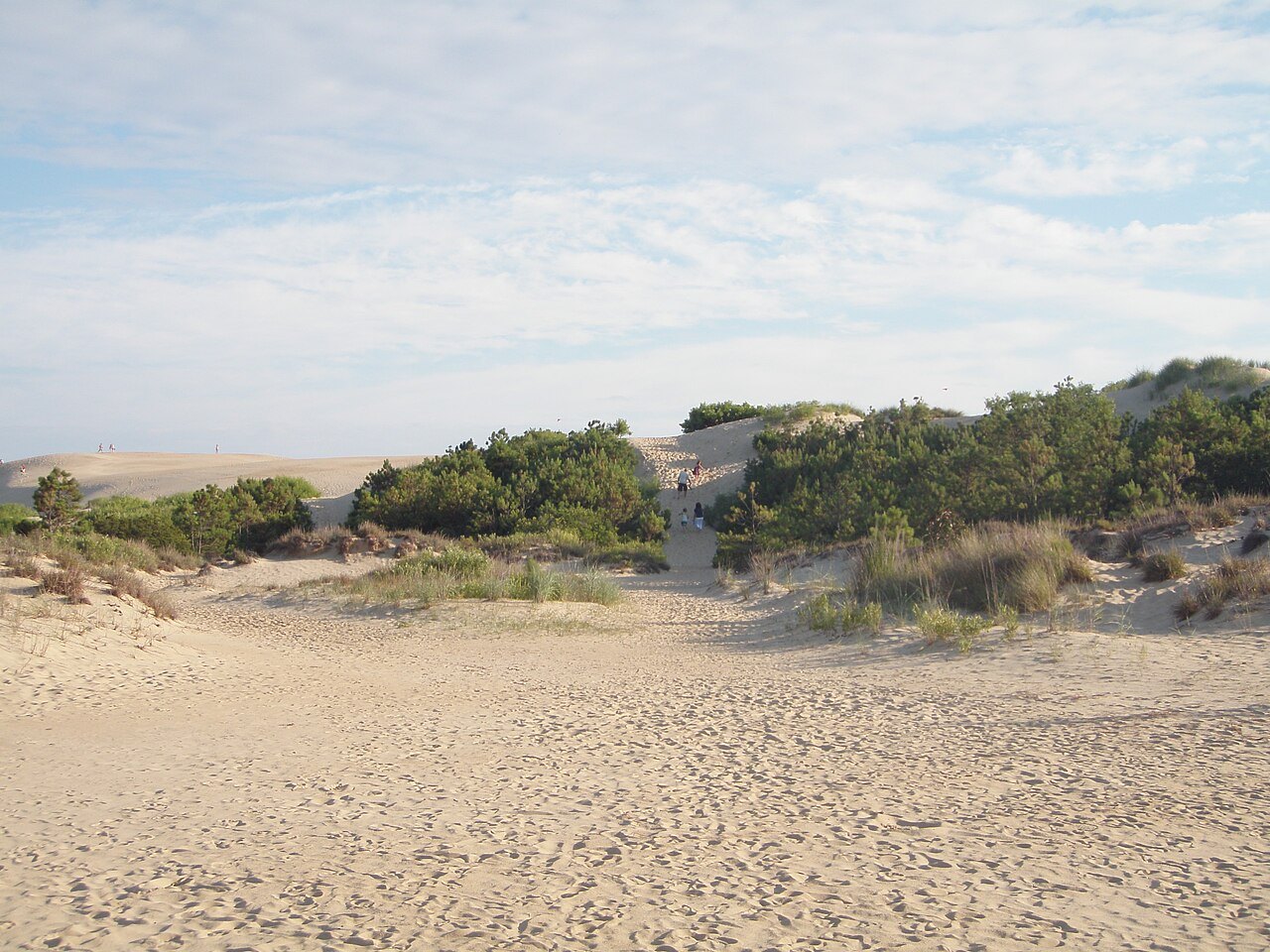
On the northern Outer Banks are the dunes where the Wright brothers flew, now the Wright Brothers National Memorial; the living sand hills of Jockey's Ridge; and, on Roanoke Island, Fort Raleigh, the site of the Lost Colony. South of them lie the lighthouses and beaches of Cape Hatteras and the ferry island of Ocracoke.
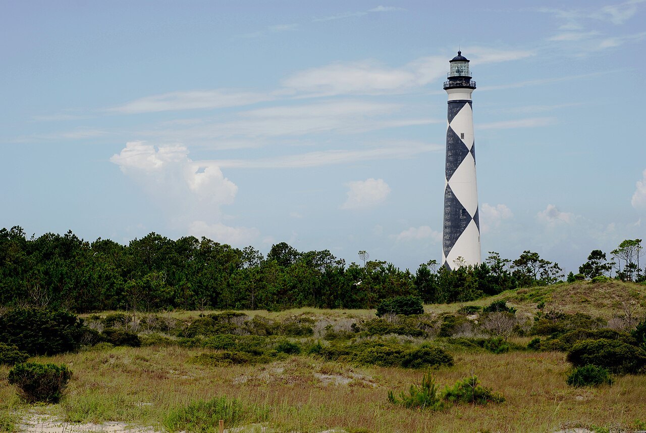
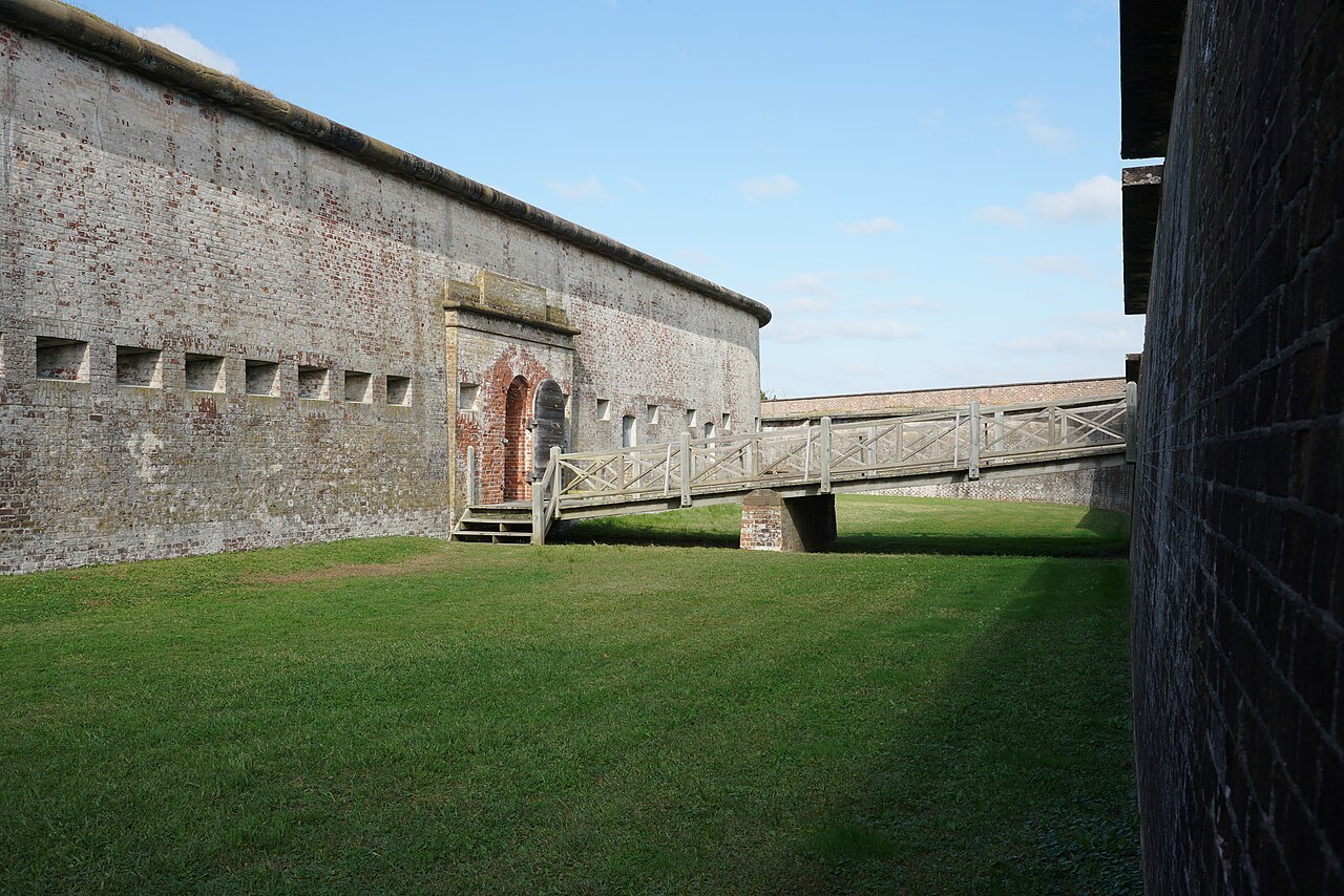
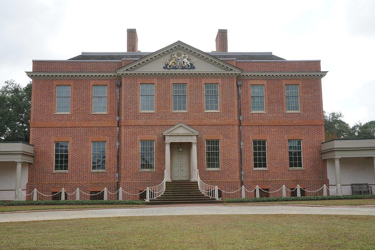
Farther south are the wild islands of Cape Lookout, with the only checkered lighthouse in the country; Fort Macon, the brick fort on Bogue Banks; Tryon Palace, the colonial governor's house at New Bern; and, at Wilmington, the Battleship North Carolina on the Cape Fear River.
How to use these pages
Each landmark page tells the story of the place from sources, describes what you see, and ends with how to visit: the roads, the seasons and what to check before you go. The pages give no prices, hours or fares, because these change; the places' own websites are the place for them, and many of them, from the Parkway to the ferries, publish current conditions that matter more than any schedule.
Several of the landmarks sit inside national parks and seashores run by the Park Service, others are state parks and state historic sites, and Biltmore is privately owned. That affects what you need to plan. Where a place was damaged by Hurricane Helene in 2024, the page says so.
Beyond the landmarks
The eight cities and towns on this site, from Asheville to Wilmington, are bases for the landmarks and places to visit in their own right. Scenic Drives covers the roads between them, and When to Come the seasons, from the fall color on the Parkway to the hurricane months on the coast.
More for planning