THE MOUNTAINS · THE BLUE RIDGE ESCARPMENT
Grandfather Mountain and the Linn Cove Viaduct
Photographs: Maria Kozmina, Wikimedia Commons, CC BY-SA 4.0 · Marshallhash89, Wikimedia Commons, CC BY-SA 4.0 · Leslie Anne Perry, Wikimedia Commons, CC0
The Mountains · landmark 4 of 21
The most rugged peak on the Blue Ridge and the highest point on the Eastern Continental Divide, with a swinging bridge a mile above the sea on one side and the Parkway's famous curving viaduct on the other.
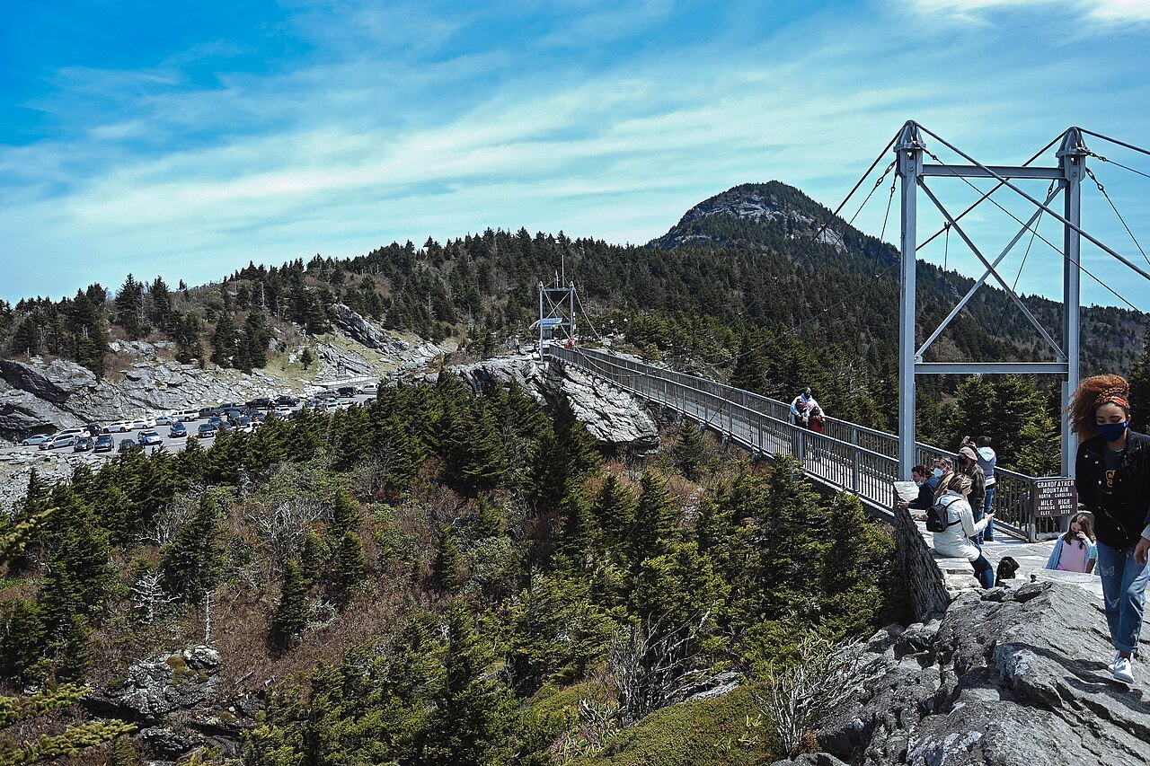
- Mile High Swinging BridgeA footbridge between two rocky peaks, built in 1952 and named for how it sways in wind.
- Linn Cove ViaductA 1,243-foot concrete bridge that curls around the slope, built so the mountain was not cut.
- The four peaksCalloway, Attic Window, MacRae and Linville Peaks line the north-south ridge of the massif.
- The backcountryMost of the mountain has been a state park since 2009, with rugged trails and ladders.
- Nature museum and habitatsThe attraction side has a museum and environmental habitats for native animals.
- Two riversThe Linville River flows east and the Watauga River west from the mountain's slopes.
Why it matters
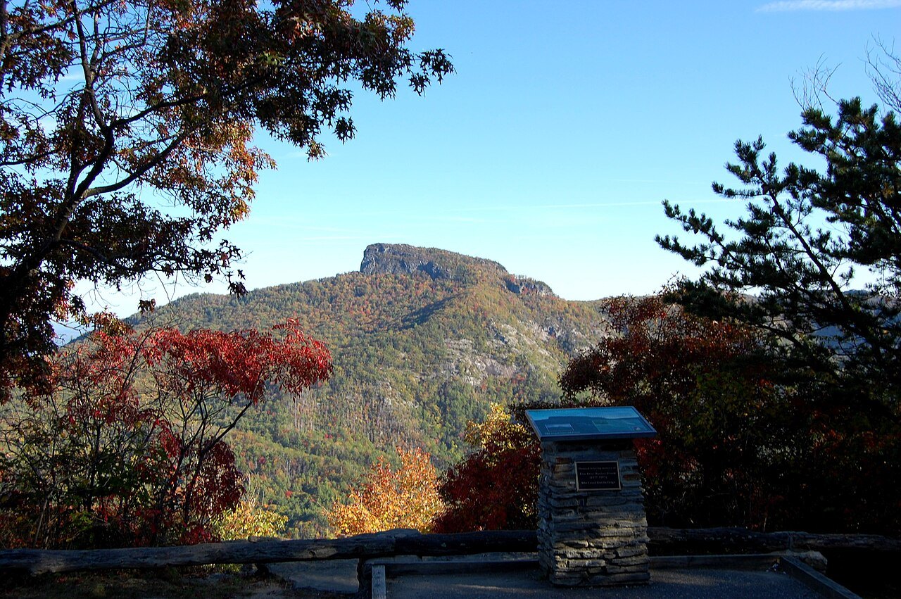
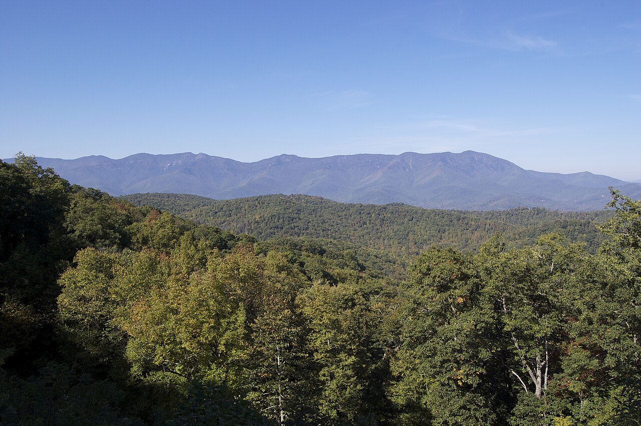
Grandfather Mountain rises to 5,946 feet near the town of Linville, where Avery, Caldwell and Watauga counties meet. It is the highest peak on the eastern escarpment of the Blue Ridge and the highest point anywhere on the Eastern Continental Divide; taller mountains nearby, Mount Mitchell among them, stand wholly west of the divide.
It is also a mountain with two lives. Most of it is Grandfather Mountain State Park, a backcountry of rough trails. A smaller privately owned section on the southeast side is a ticketed nature park with a road to the top, a museum and the Mile High Swinging Bridge. The Blue Ridge Parkway passes along the south side, over Grandmother Gap.
A rugged, windy mountain
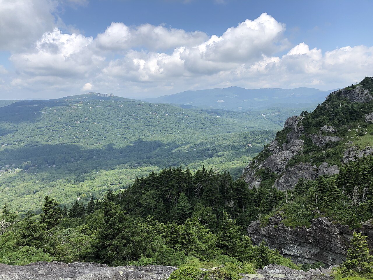
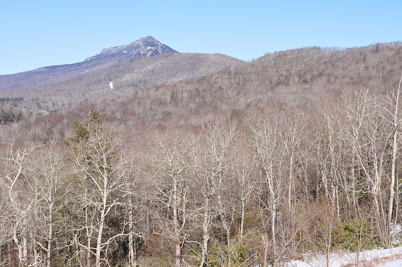
The mountain is known for its cliffs and caves and for its range of habitats: the climb from the valleys to the crest crosses 16 distinct ecological communities. Its main ridge runs roughly north to south with four named peaks, Calloway, Attic Window, MacRae and Linville. MacRae is lower than its neighbors but the hardest to reach, over exposed approaches from both sides.
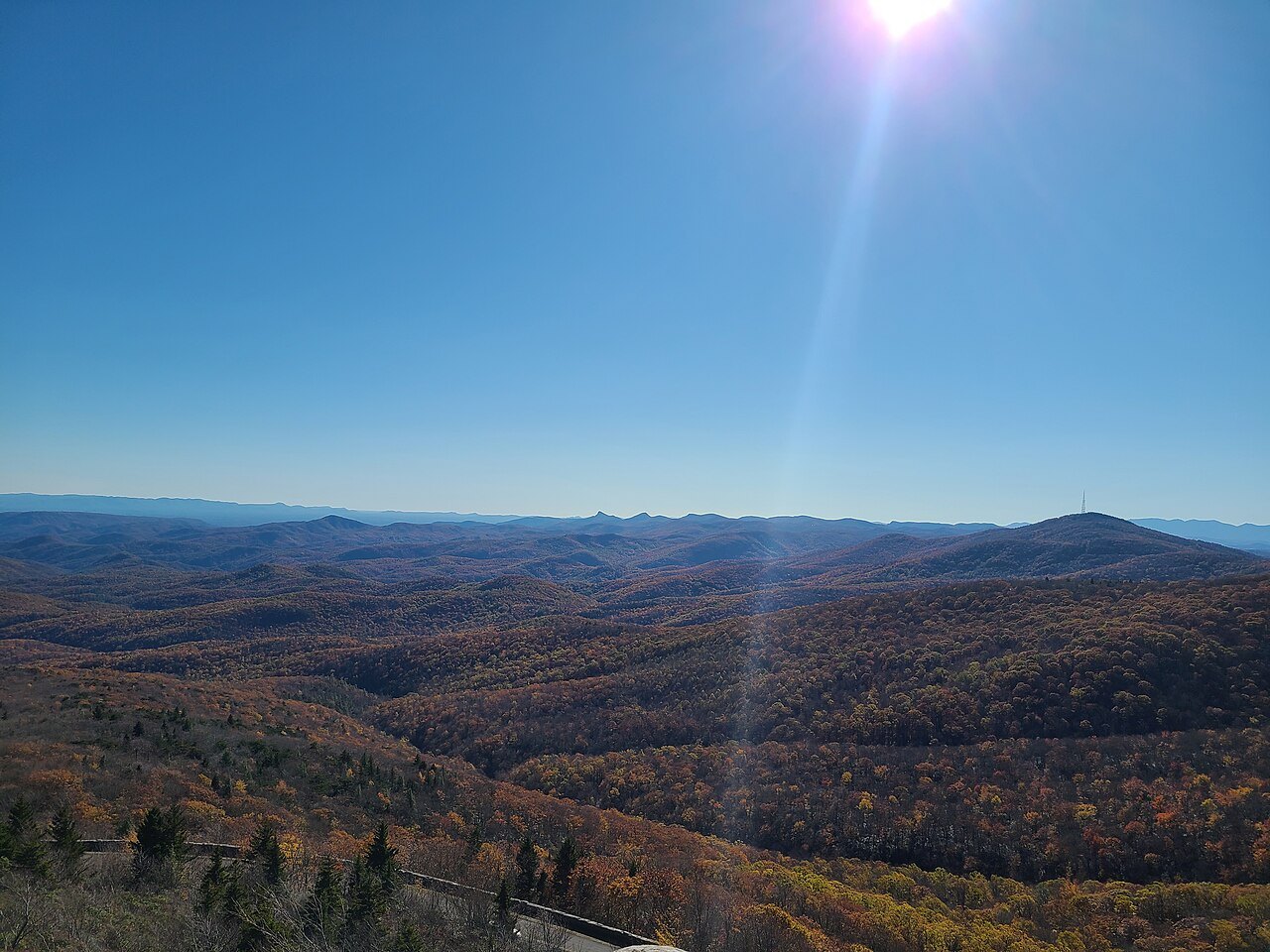
Two rivers begin on its slopes, the Linville flowing east and the Watauga flowing west. It is also one of the windiest places in the East: unverified gusts of more than 200 miles an hour have been reported, and the wind instruments now stand on the swinging bridge. Winters are cold and snowy and summers mild; snow has fallen as early as September 10 and as late as May 27.
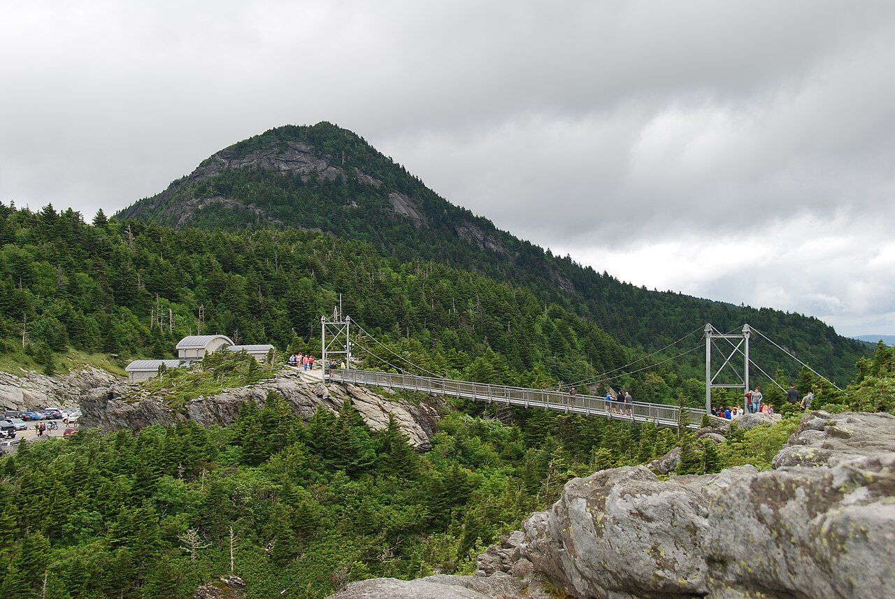
The swinging bridge and the Morton years
Until 2008 the whole mountain was privately owned. Hugh Morton inherited it from his grandfather and developed it as a nature preserve and attraction, building the Mile High Swinging Bridge in 1952 to link two rocky peaks. It is known as the highest swinging bridge in America, and it sways in high winds, hence its name. Morton died in 2006, and his photographs of the mountain went to the University of North Carolina at Chapel Hill.
In 2008 the state agreed to buy some 2,600 acres of the undeveloped mountain from the Morton family, and Grandfather Mountain State Park was established in 2009, the state's 34th. The family created a nonprofit foundation to run the attraction side, about 720 acres with the bridge, the nature museum and the animal habitats; the state holds a conservation easement over it.
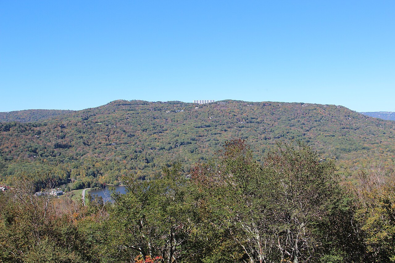
The Linn Cove Viaduct
When the Parkway was planned in the 1930s, engineers knew a cut-and-fill road would scar Grandfather, the most rugged peak on the Blue Ridge and one of the oldest mountains on the continent. Conservationists pushed for a viaduct instead. By 1966 the Parkway was complete except for the stretch around the mountain, and acquiring the land took decades.
The Linn Cove Viaduct was designed by Figg and Muller Engineers, and construction began in 1979. It is 1,243 feet long and just under 40 feet wide, and rests on seven piers. To keep heavy equipment off the slope, drilling rigs were lowered by helicopter, and the deck was built from the south end out, one precast segment at a time, by a crane that rode along the finished part. There are 153 segments, and all but one are curved, so the bridge follows the mountain in an S-and-a-half shape.
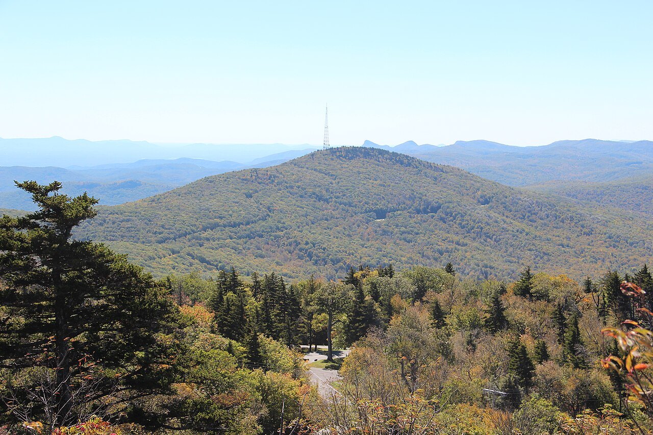
It was completed in 1983 and won the 1984 President's Design Award; the Parkway opened to through traffic in 1987. A National Park Service visitor center at the south end has a small bridge exhibit and the start of the Tanawha Trail, which runs under and beside the viaduct.
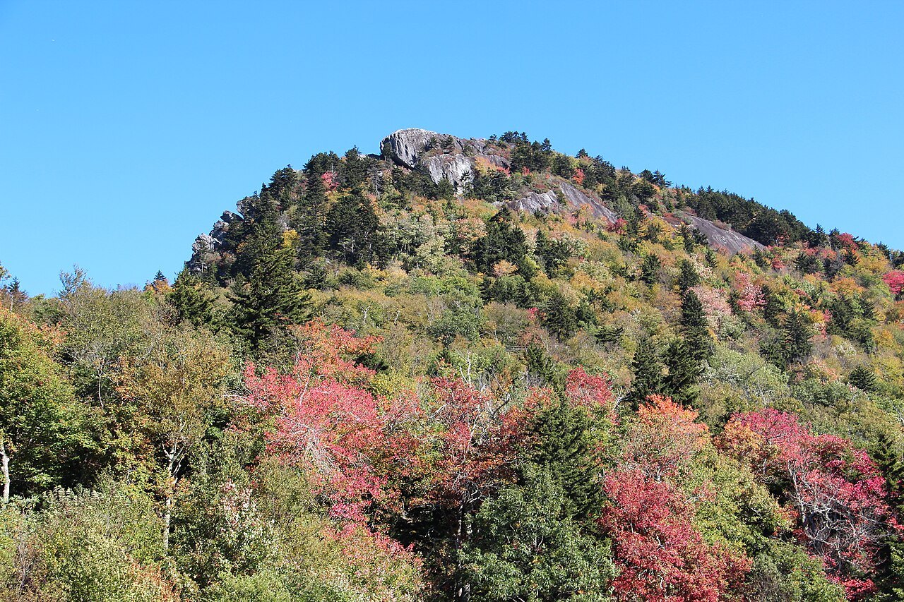
What you see on the attraction side
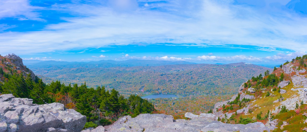
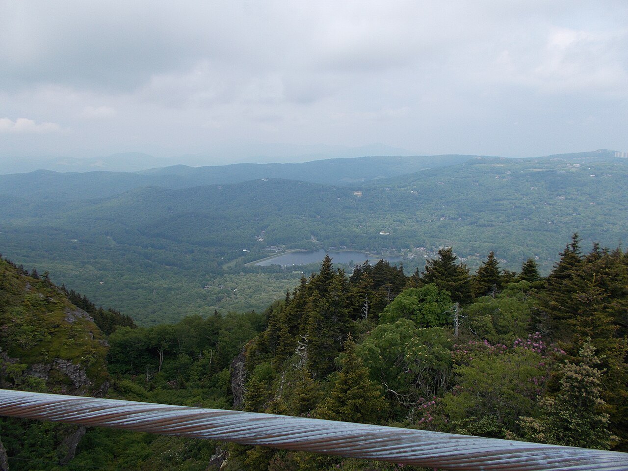
A paved road climbs to Linville Peak, where the museum and the swinging bridge are. On a clear day the view reaches about 100 miles, and the skyline of Charlotte can be picked out far to the southeast. On the way up there are picnic areas and habitats for native animals, including black bears. The Grandfather Mountain Highland Games, one of the largest Scottish gatherings in North America, are held at the foot of the mountain each year, with pipes, games and kilted clans; more family lines are represented there than at any other gathering in North America.
The backcountry
The state park side has 11 trails, from walks in the woods to some of the most rugged hiking in the eastern United States. The east-side trails start at the Boone Fork parking area at milepost 300 of the Parkway; the route to Calloway Peak by the Tanawha and Daniel Boone Scout trails includes two large fixed ladders. Hiking and camping in the backcountry are free with a permit from the trailheads, but anyone who enters or leaves through the attraction pays its admission. Fires are banned at many high campsites because of the wind.
How to visit
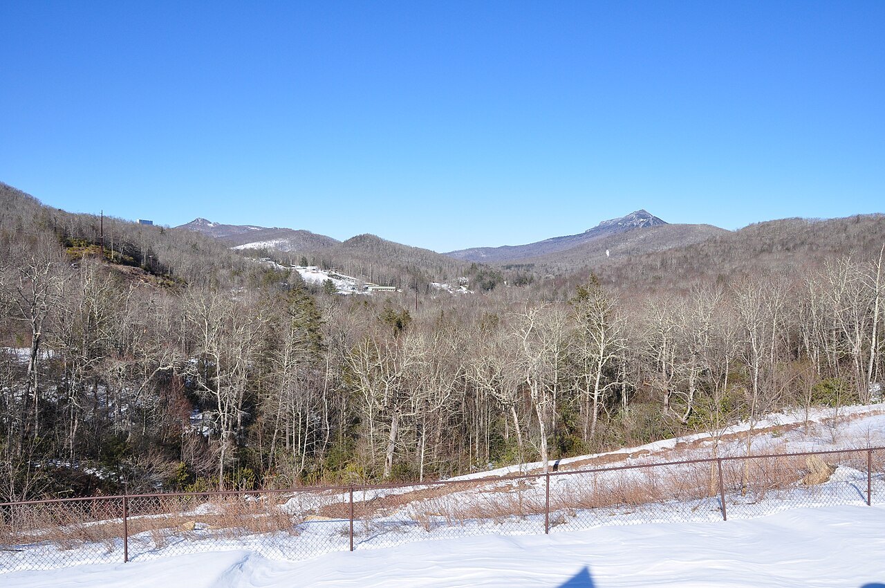
Decide which mountain you are visiting. For the bridge and the museum, take the Grandfather Mountain Entrance Road near Linville, which US 221 reaches in 18 miles from Blowing Rock; admission is charged at the main gate, and parts of the attraction close in bad weather in late fall, winter and early spring, so check before driving up. For the viaduct, drive the Parkway between Blowing Rock and Linville and stop at the Linn Cove Visitor Center.
Pair the mountain with Linville Falls a few miles south on the Parkway, and base yourself in Blowing Rock or Boone (see Where to Stay). Bring a wind layer even in summer. In winter, when the Parkway closes, the east-side trails can still be reached on the Asutsi Trail, which starts at Serenity Farm on highway 221.
Nearby