

PLANNING · GETTING HERE
Getting to North Carolina
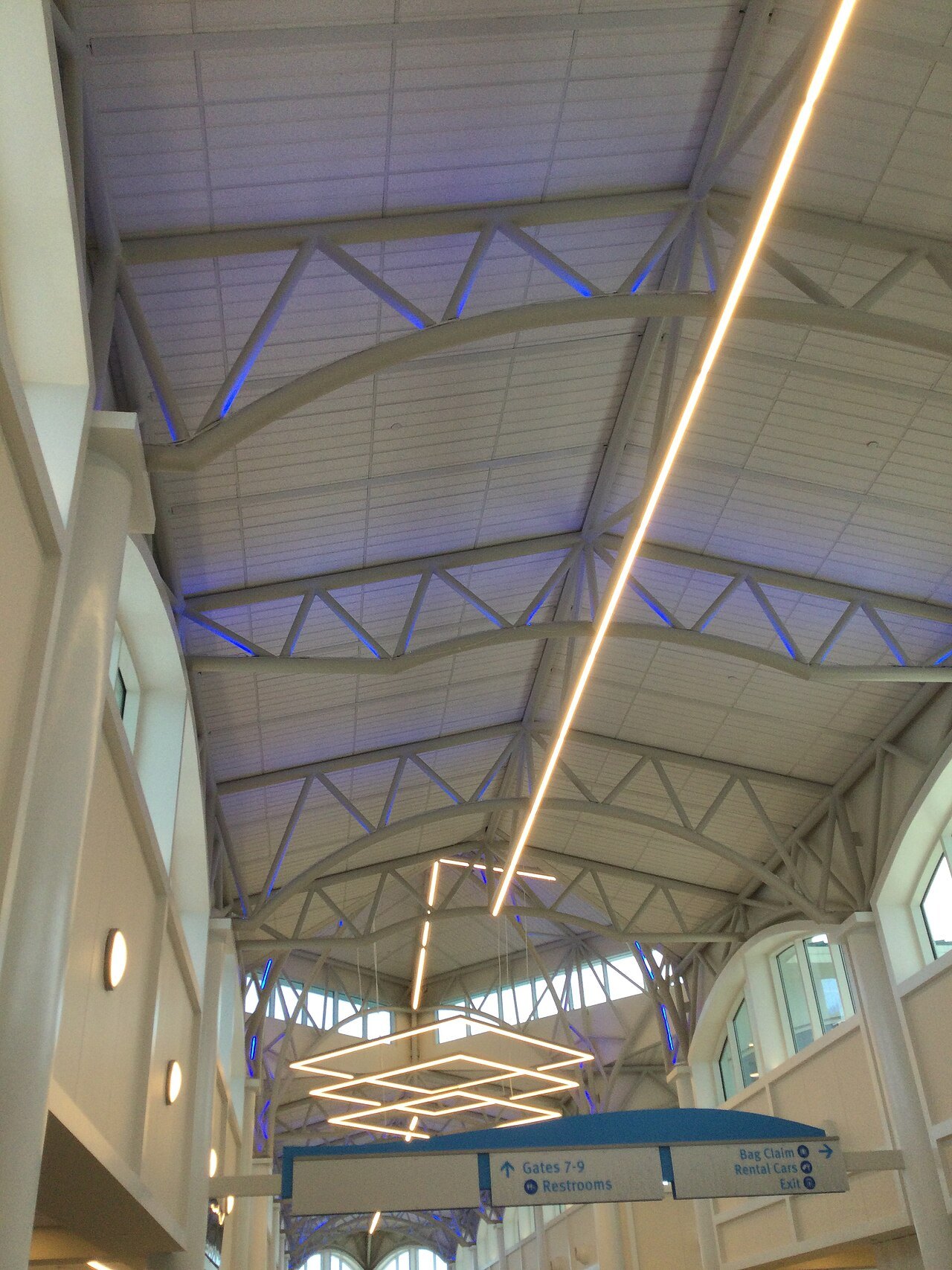
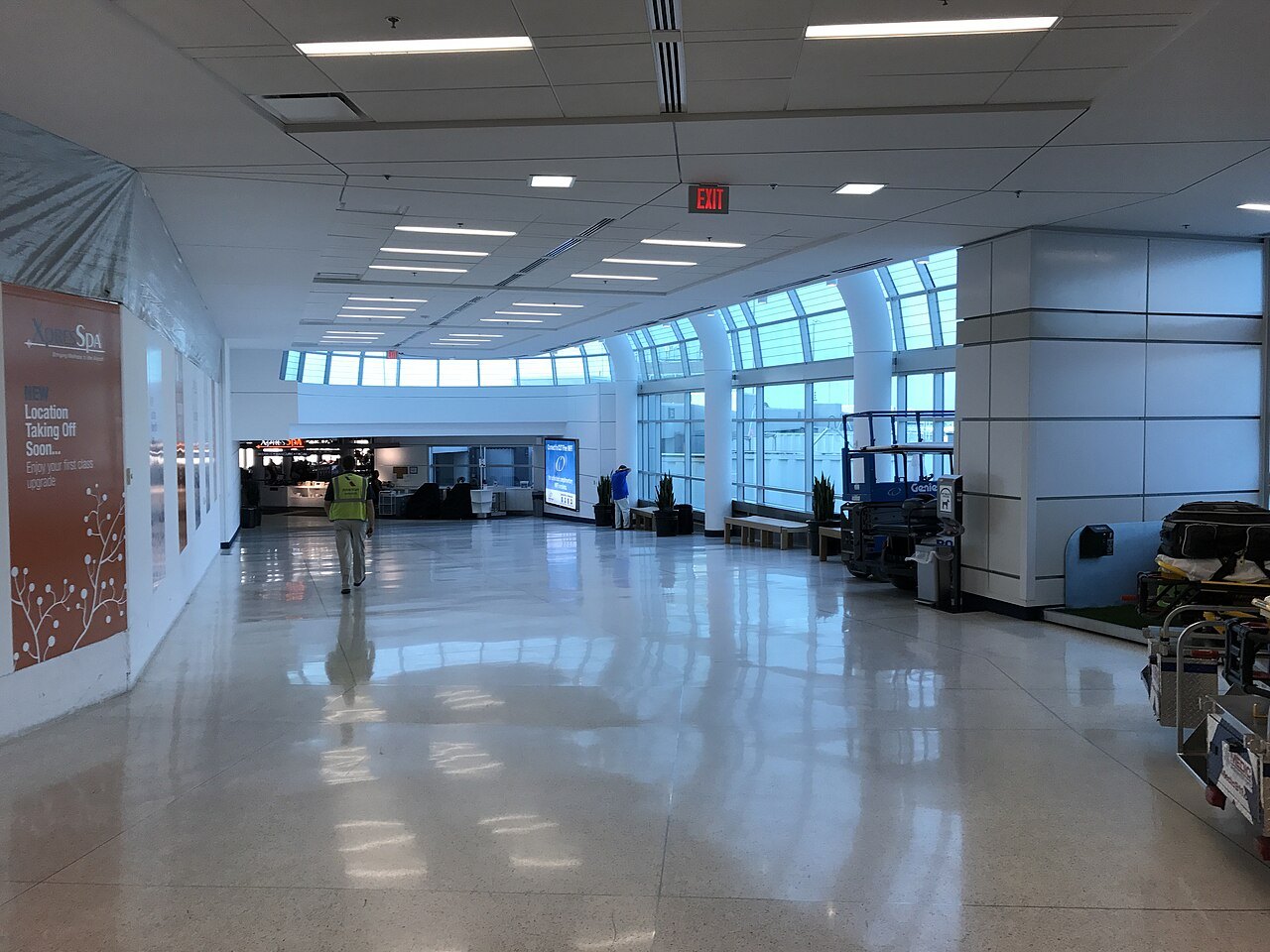
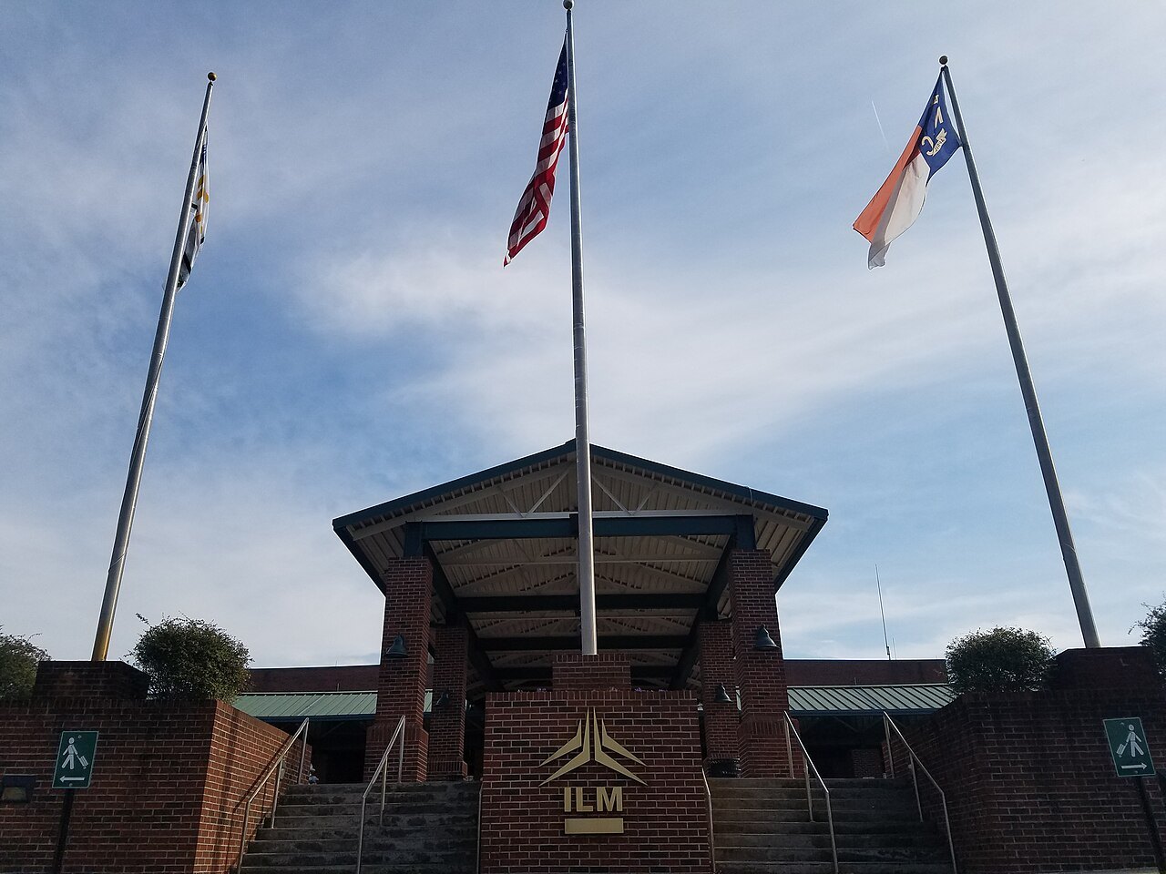
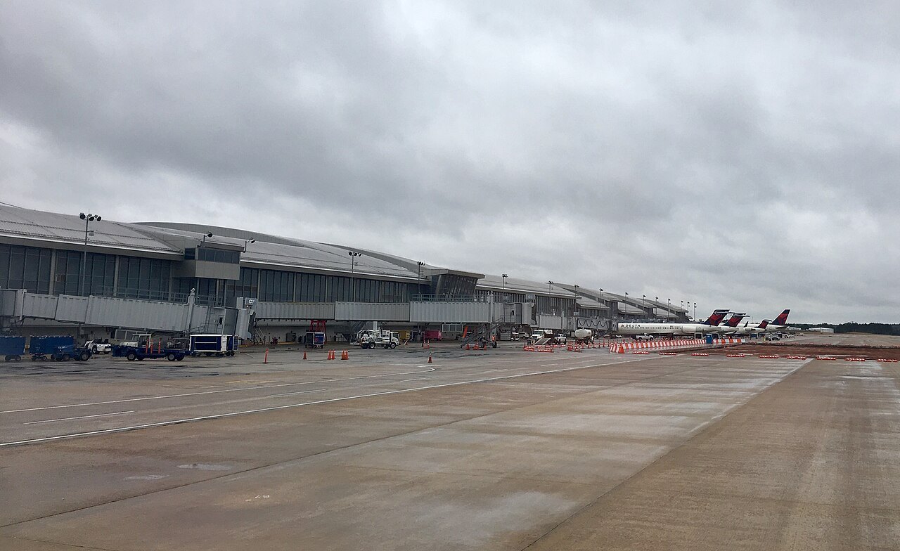
Photographs: SunDawn, Wikimedia Commons, CC BY-SA 4.0 · Sammi Brie, Wikimedia Commons, CC0 · DiscoA340, Wikimedia Commons, CC BY-SA 4.0
Access North Carolina · Arriving
Most visitors fly into Charlotte or Raleigh–Durham and drive from there; the mountains have their own airport at Asheville and the southern coast one at Wilmington. Amtrak runs through the Piedmont, and five interstates bring you in by road from Virginia, Tennessee and South Carolina.
Some links on this page are affiliate links. If you book through one we may earn a commission, at no extra cost to you. It does not affect what is recommended here, and no landmark or city page on this site carries one.
Car rental is the one booking this site can point to for a state best seen by car:
The ways in
- By air
Charlotte Douglas (CLT)
The state's largest airport, about six miles west of Uptown Charlotte and a major hub of American Airlines, with flights across the country and abroad. The best gateway for the mountains and the western Piedmont.
- By air
Raleigh–Durham (RDU)
The airport of the Research Triangle, between Raleigh and Durham, with more than ninety destinations including international ones. The best gateway for the Triangle and for the drive east to the Outer Banks.
- By air
Asheville Regional (AVL)
Nine miles south of downtown Asheville near Fletcher, the airport for the mountains, the Blue Ridge Parkway and the Smokies. It has grown quickly and set a passenger record in 2023.
- By air
Wilmington International (ILM)
Just north of Wilmington, the airport for the southern coast, the battleship and the Cape Fear beaches.
- By air
Piedmont Triad (GSO)
In Greensboro, serving Winston-Salem, High Point and the rest of the Triad; handy for Old Salem and Pilot Mountain.
- By rail
Amtrak: the Carolinian and the Piedmont
The Carolinian runs daily between New York and Charlotte by way of Raleigh, Durham and Greensboro; the Piedmont adds several round trips a day between Raleigh and Charlotte.
- By rail
Amtrak: the Crescent
The long-distance train between New York and New Orleans stops at Charlotte overnight in each direction, with Greensboro to the north and Atlanta to the south.
- By road
By road
I-95 crosses the east of the state from Virginia to South Carolina, I-85 and I-77 come into the Piedmont, I-40 crosses the whole state from Tennessee to Wilmington, and I-26 comes over the mountains from Tennessee to Asheville.
- By bus
By bus
Greyhound and Megabus stop at Charlotte, with routes to Atlanta, the Northeast and Florida.
The short version
North Carolina is a big state: I-40 alone runs 420 miles across it, from the Tennessee line to Wilmington, and how you get here depends on which end you want. For the mountains and the Blue Ridge Parkway, fly into Charlotte or Asheville. For the Research Triangle and the northern coast, fly into Raleigh–Durham. For Wilmington and the southern beaches, Wilmington's own airport is closest.
Wherever you land, you will almost certainly want a car: the Parkway, the national seashores and most of the landmarks on this site cannot be reached any other practical way. Driving North Carolina explains the roads once you are here.
Flying into Charlotte
Charlotte Douglas International Airport lies about six miles west of Uptown Charlotte. It is a fortress hub of American Airlines, which operates most of its flights, and in 2021 it was the sixth-busiest airport in the country. That makes it the airport with the most direct flights into the state, from across the United States and from abroad, and often the simplest way in from overseas.
From Charlotte, Asheville and the Parkway are the classic drive west, and Winston-Salem and the Triad lie north up I-85 and I-40. The city itself is covered on the Charlotte page.
Flying into Raleigh–Durham
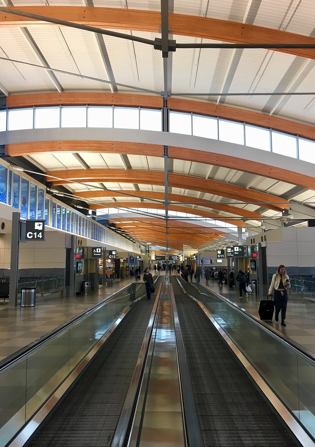
Raleigh–Durham International Airport, known everywhere by its code, RDU, sits between the two cities in Wake County, surrounded by Raleigh to the north and east and by Cary and Morrisville to the south. It serves more than ninety destinations, among them international ones, and Atlanta is its busiest domestic route.
RDU is the natural gateway to Raleigh's museums, to Durham and Duke, and to the long drive east to the Outer Banks, the Wright Brothers memorial and Cape Hatteras.
Smaller airports
Asheville Regional Airport, nine miles south of downtown Asheville near Fletcher, is the airport of the mountains. It has grown fast, set an all-time passenger record in 2023 and is now the third-busiest airport in the state, and it is the closest to the Parkway, Biltmore and the high peaks. Hurricane Helene badly damaged the region's roads in 2024, so check the airport's and the state's own sites for current conditions.
Wilmington International Airport, just north of the city in Wrightsboro, is the airport for the southern coast; it set a record of more than 1,800,000 passengers in 2025. Piedmont Triad International, in Greensboro, serves Winston-Salem and the Triad. New Bern and the Crystal Coast have Coastal Carolina Regional Airport, three miles south of New Bern, with connections through Charlotte.
By train
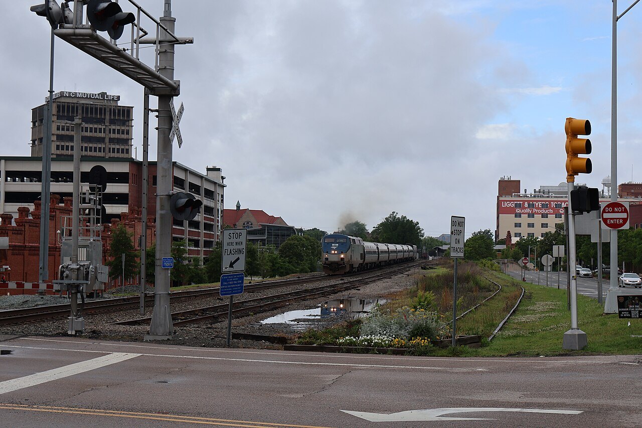
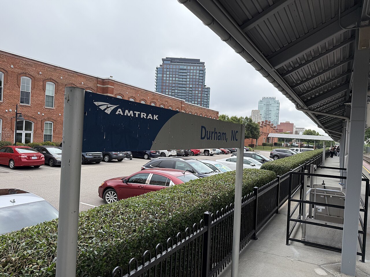
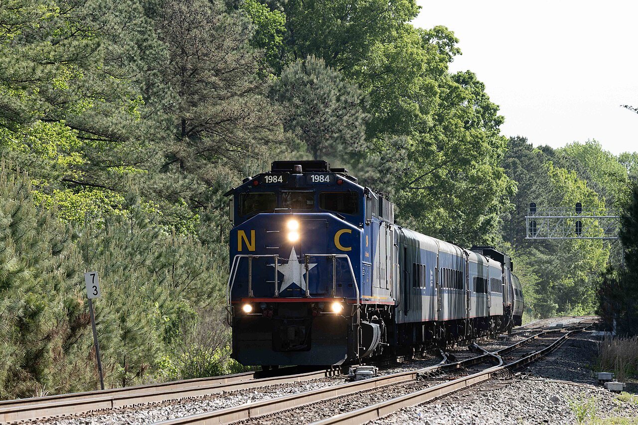
Amtrak runs through the Piedmont, and the state itself owns and schedules part of the service under the name NC By Train. The Carolinian runs once a day each way between New York and Charlotte, stopping at Richmond, Raleigh, Cary, Durham and Greensboro; at more than 700 miles it is the longest state-supported route in the Amtrak system. The Piedmont, its sister train, runs four round trips a day between Raleigh and Charlotte along the state-owned North Carolina Railroad, which the state has leased to railroads since 1871. The state bought its own cars and locomotives for the Piedmont, which began in 1995 and now carries close to 300,000 passengers a year.
The Carolinian first ran in 1984 as a section of another train and was relaunched in 1990; it was the first direct train between Raleigh and Charlotte in thirty years. Along the Piedmont's route, a bus link called the NC Amtrak Connector runs from High Point station to Winston-Salem.
Charlotte is also a stop on the Crescent, the long-distance train between New York and New Orleans, which passes overnight once in each direction. Reservations are required on all these trains. Trains are a good way to travel between the Piedmont cities, but they will not take you to the mountains or the coast; Asheville lost its last passenger train in 1968.
By road
Five interstates bring you into the state. I-95 runs through the rural east from South Carolina near Rowland to Virginia near Roanoke Rapids, passing Fayetteville and Rocky Mount and avoiding the big cities. I-85 crosses the Piedmont from South Carolina near Grover through Charlotte, Greensboro and Durham to Virginia, and I-77 comes up from South Carolina through Charlotte and north past Mount Airy to Virginia.
I-40 is the backbone: the only interstate that crosses the whole state, it runs 420 miles from the Tennessee line in the Pigeon River Gorge through Asheville, Winston-Salem, Greensboro, Durham and Raleigh to Wilmington. I-26 comes over the mountains from Tennessee at Sams Gap, 3,760 feet up, runs through Asheville and continues to South Carolina.
The drive in on I-40 from Tennessee is spectacular and demanding. The road follows the Pigeon River through a gorge for sixteen miles and through twin tunnels that, when they opened in 1968, were the first interstate tunnels east of the Mississippi. The gorge is notorious for rockslides, because the rock layers lean toward the highway; the North Carolina Welcome Center stands just beyond it.
Both mountain interstates have been hit hard by storms and slides. Helene washed away the eastbound lanes of I-40 in the Pigeon River Gorge in several places in 2024 and closed it completely; it reopened with one lane each way while the permanent rebuilding went on. Before you drive into the mountains from Tennessee, look at the state transportation department's travel information for current conditions.
By bus
Greyhound and Megabus both serve Charlotte, with Greyhound routes to Atlanta, Jacksonville, Philadelphia, New York and Detroit, and Megabus connections through its hub in Atlanta. Buses reach the other big cities too, but, as with the trains, they will leave you short of the mountains and the coast.

Which way in
For a road trip that covers the whole state, a good plan is to fly into one end and out of the other: land at Asheville or Charlotte for the mountains, drive east across the Piedmont, and fly home from Raleigh–Durham or Wilmington after the coast. The road trips on this site are laid out that way. If you have only a few days, choose one region and use its airport.
More for planning


Sources read for this page
- en.wikipedia.org/wiki/Charlotte_Douglas_International_Airport
- en.wikipedia.org/wiki/Raleigh%E2%80%93Durham_International_Airport
- en.wikipedia.org/wiki/Asheville_Regional_Airport
- en.wikipedia.org/wiki/Wilmington_International_Airport
- en.wikipedia.org/wiki/Carolinian_(train)
- en.wikipedia.org/wiki/Piedmont_(train)
- en.wikipedia.org/wiki/Interstate_40_in_North_Carolina
- en.wikipedia.org/wiki/Interstate_95_in_North_Carolina
- en.wikipedia.org/wiki/Interstate_85_in_North_Carolina
- en.wikipedia.org/wiki/Interstate_77_in_North_Carolina
- en.wikipedia.org/wiki/Interstate_26_in_North_Carolina
- en.wikipedia.org/wiki/Charlotte,_North_Carolina
- en.wikipedia.org/wiki/New_Bern,_North_Carolina