THE MOUNTAINS · MILEPOSTS 217 TO 469
The Blue Ridge Parkway through North Carolina
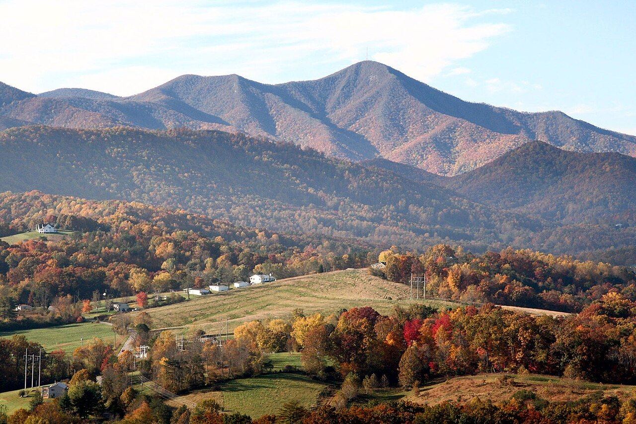
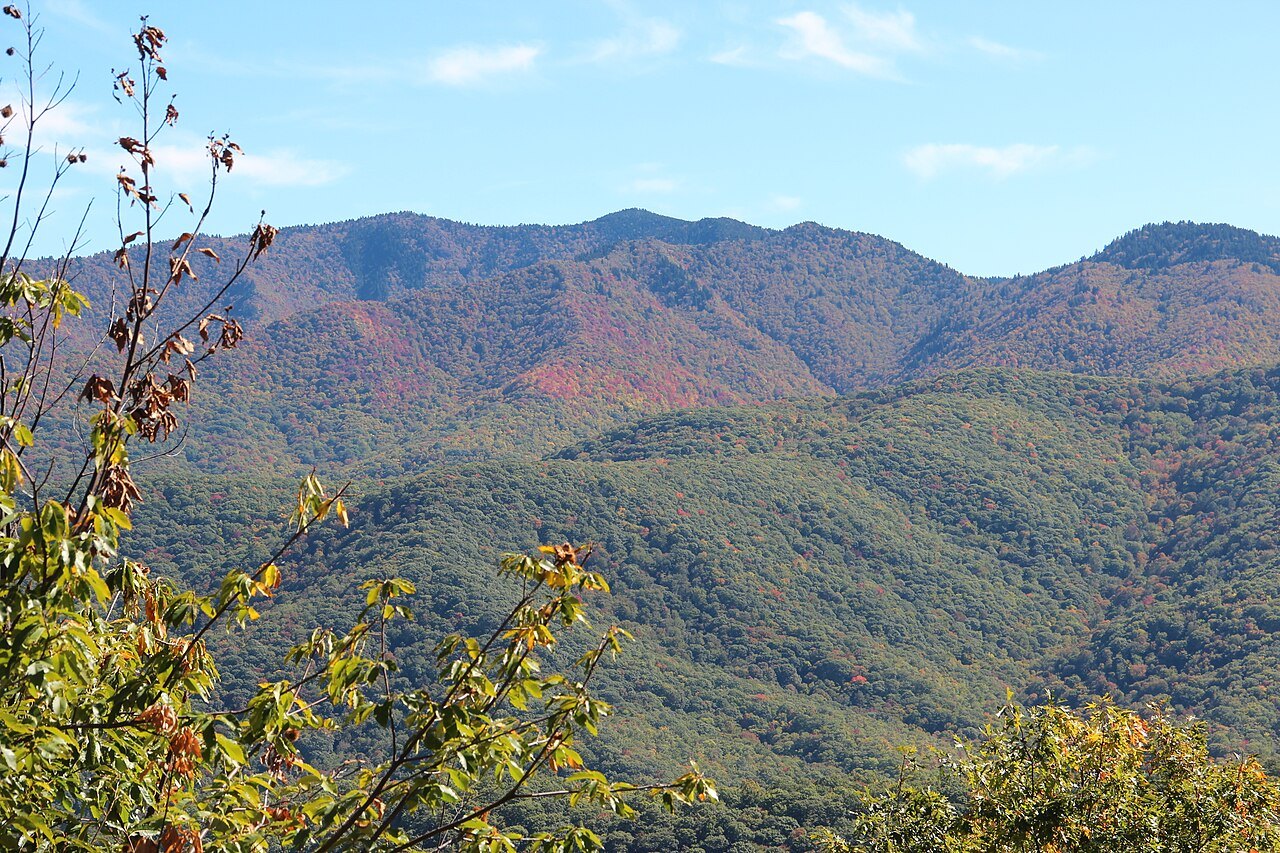
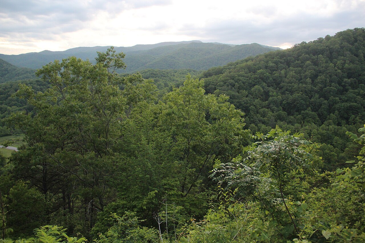
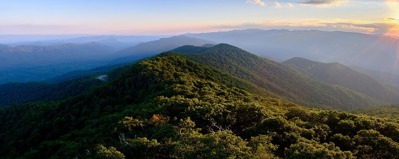
Photographs: Ladyvet27, Wikimedia Commons, CC BY-SA 4.0 · Bigmacthealmanac, Wikimedia Commons, CC BY-SA 4.0 · Michael Barera, Wikimedia Commons, CC BY-SA 4.0
The Mountains · landmark 1 of 21
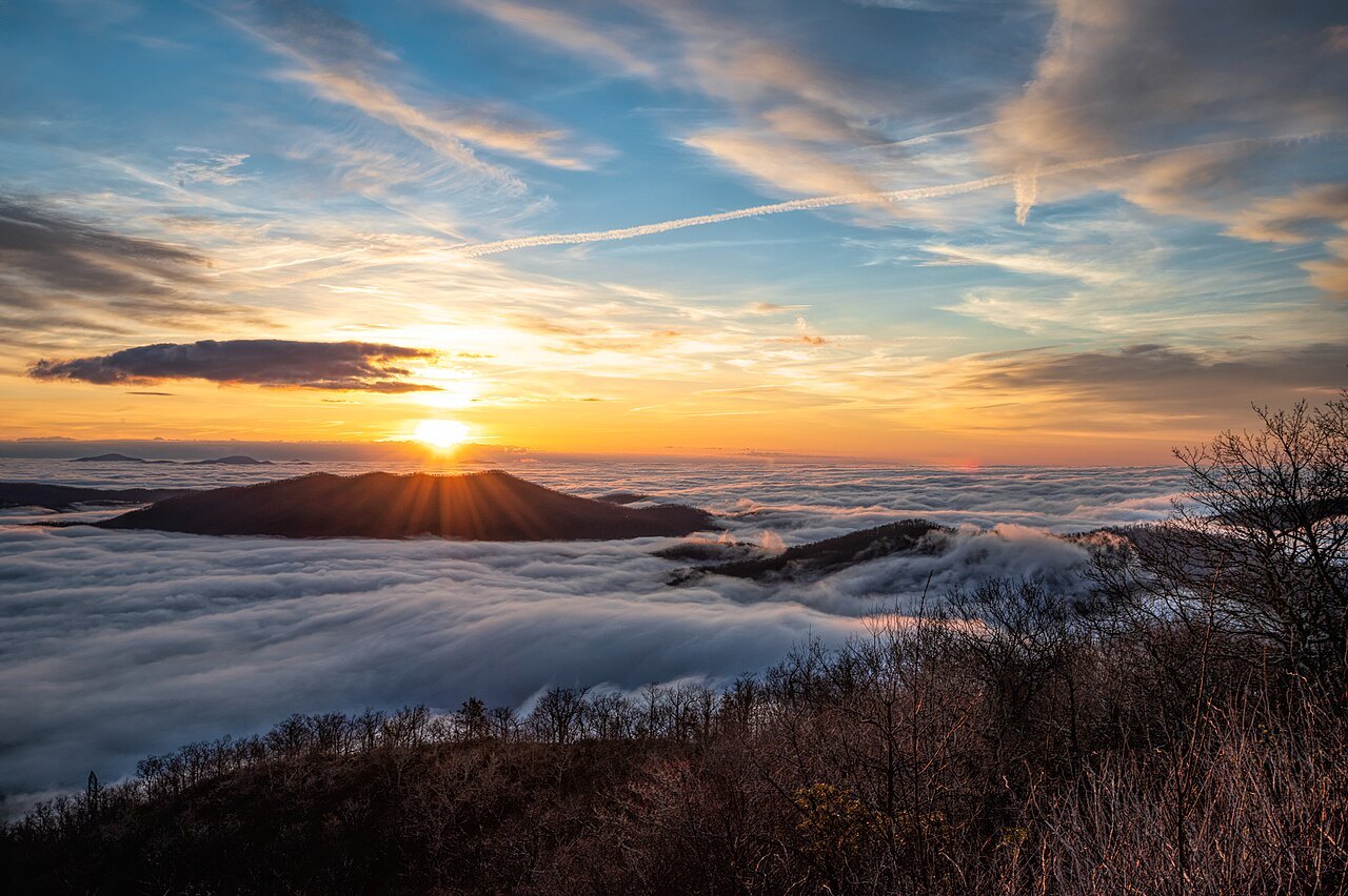
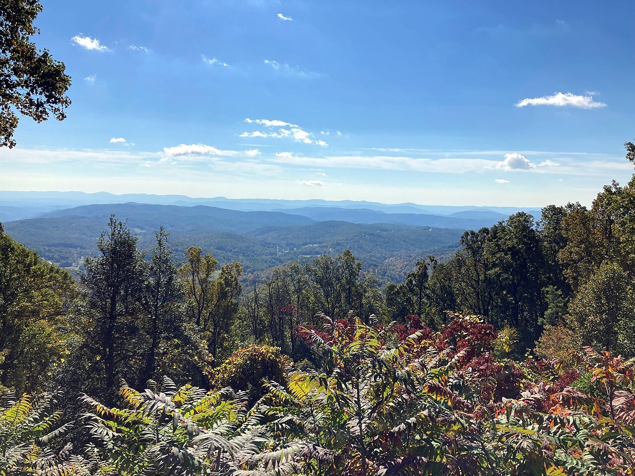
A two-lane road built to be looked from, not hurried along: 469 miles of mountain crest from Virginia to the Smokies, and the last 252 of them in North Carolina, where the Parkway climbs highest and ends at Oconaluftee.
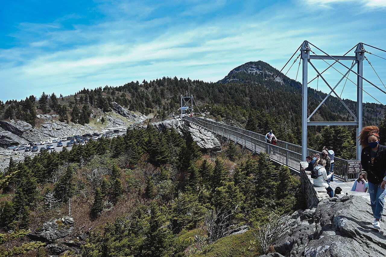
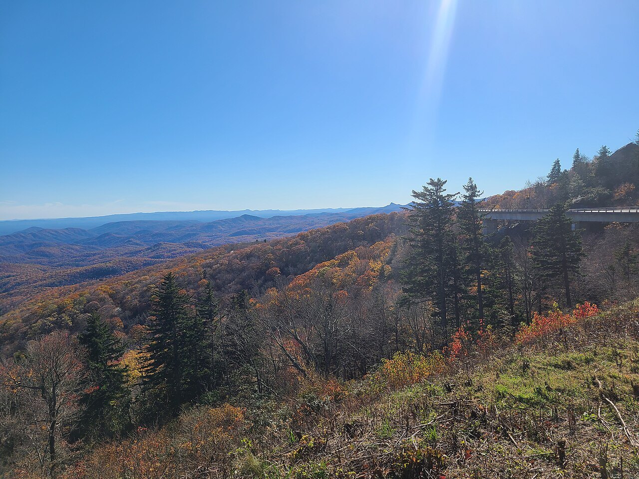
- Linn Cove ViaductThe concrete bridge that curls around Grandfather Mountain, the last piece of the Parkway to open, in 1987.
- Richland BalsamThe highest point on the whole road, 6,053 feet, at milepost 431 near Mount Pisgah.
- Craggy GardensPurple rhododendron covers the Great Craggy Mountains here in mid to late June.
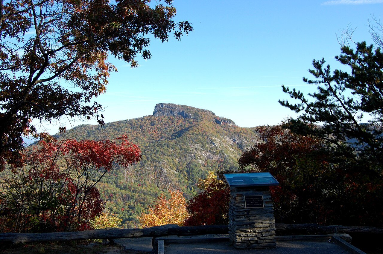
- Mount Pisgah and Looking Glass RockOnce part of the Biltmore Estate; the bald granite face of Looking Glass Rock shows from many overlooks.
- Twenty-five tunnelsNorth Carolina has all but one of the Parkway's tunnels; Pine Mountain is the longest at 1,434 feet.
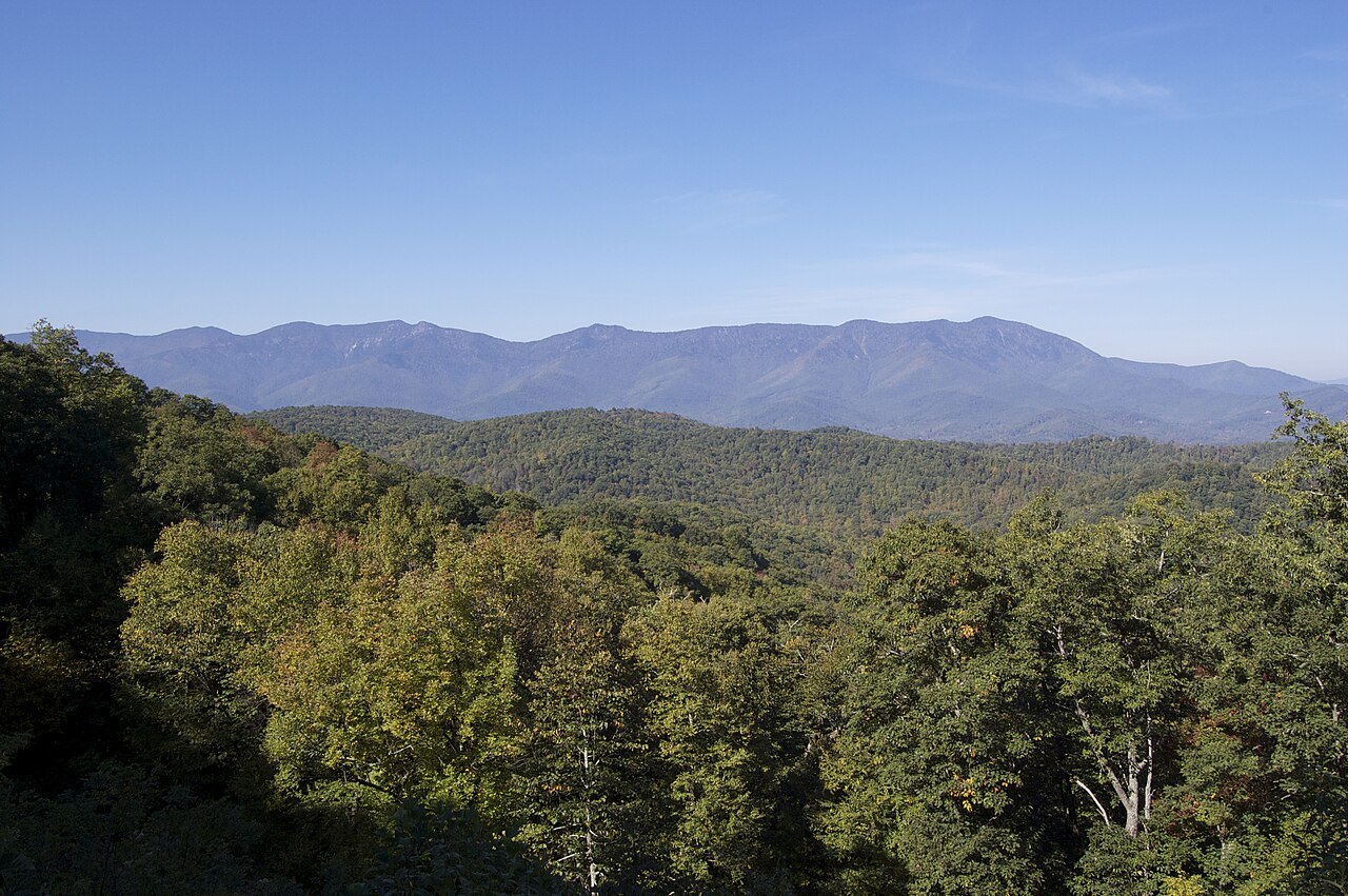
- Waterrock KnobA late overlook with a panorama across the Great Smokies, close to the road's southern end.
Why it matters
The Blue Ridge Parkway is the longest linear park in the United States: 469 miles through 29 counties in Virginia and North Carolina, linking Shenandoah National Park to Great Smoky Mountains National Park. It follows the spine of the Blue Ridge for most of its length, and it was designed so that the road and its views are the attraction rather than a fast way between places. Long-haul traffic uses the highways that run parallel in the valleys, and the frequent pull-offs and overlooks are part of the plan.
The Parkway has been the most visited unit of the National Park System in every year since 1946 except four. Most of what visitors come for is in North Carolina, where the road crosses the state line at milepost 217 and carries on to milepost 469 at Oconaluftee, beside the Qualla Boundary of the Eastern Band of Cherokee Indians.
How the road came to North Carolina
The project began under President Franklin D. Roosevelt as the Appalachian Scenic Highway. The panel that studied the route recommended turning west into Tennessee at Linville, but Josephus Daniels, Roosevelt's old superior at the Navy Department, persuaded Interior Secretary Harold Ickes to keep the road in North Carolina. A documentary on the Parkway gives Congressman Robert Doughton the credit instead; Doughton Park, near the state line, carries his name.
Work began on September 11, 1935, near Cumberland Knob in North Carolina. Congress placed the project under the National Park Service in 1936. Private contractors built most of the road, while New Deal crews did the landscaping, and Civilian Conservation Corps camps graded slopes and planted the roadsides.
The road displaced many families and brought new rules for the farmers who stayed. The Eastern Band of Cherokee Indians resisted giving up the right-of-way through the Qualla Boundary from 1935 to 1940 and won better terms, including a regular highway through the Soco Valley. Cherokee leaders took part in the dedications when those sections opened in the 1950s.
The last piece: the Linn Cove Viaduct
By the end of 1966 the Parkway was finished except for one stretch of almost eight miles around Grandfather Mountain. A cut-and-fill road would have scarred the mountain, and the solution took years: the Linn Cove Viaduct, a 1,243-foot concrete bridge that snakes around the slope instead of cutting into it. It opened in 1987, more than 52 years after work began. A visitor center at milepost 304 has a trail that runs underneath it.
North along the crest: the northern mileposts
The first miles in North Carolina are gentle. Cumberland Knob, at 2,885 feet, was where construction started. Brinegar Cabin, built about 1880 and lived in until the 1930s, still stands at milepost 238, and Doughton Park runs from there to milepost 244. Further south, Moses H. Cone Memorial Park and its house, Flat Top Manor, hold the Parkway Craft Center, and Julian Price Memorial Park has 47-acre Price Lake, the only lake on the Parkway where paddling is allowed.
Near milepost 316 the Linville Falls Recreation Area has trails to overlooks of the falls and the Linville Gorge. The Museum of North Carolina Minerals sits at milepost 331, and Crabtree Falls a few miles on.
The high country: Mitchell to Pisgah
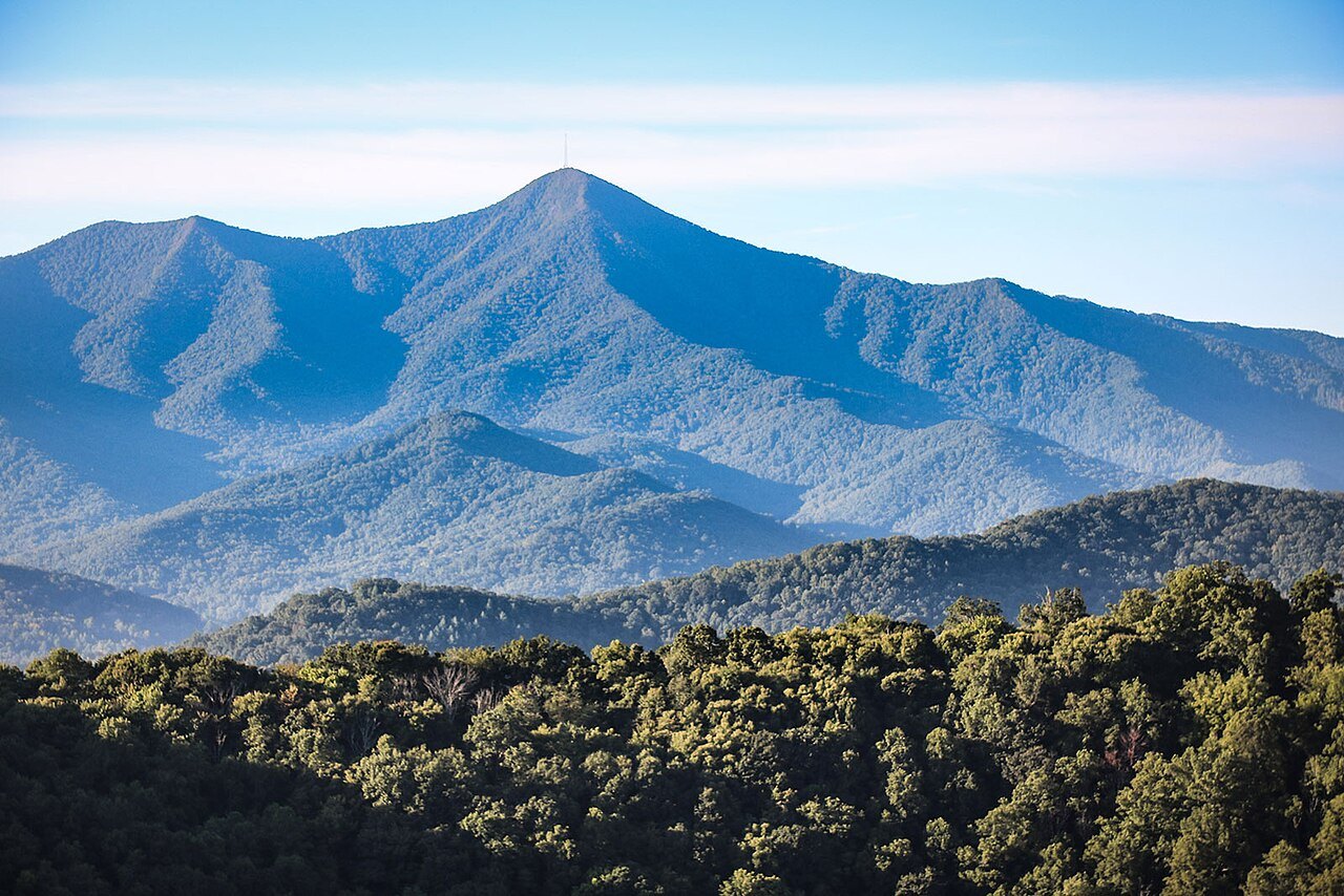
At milepost 355 a spur, NC 128, climbs to Mount Mitchell, the highest point east of the Mississippi. Walker Knob marks where the Black Mountains meet the Great Craggy Mountains, and Craggy Gardens, from milepost 363 to 369, is known for purple rhododendron in mid to late June. The Folk Art Center of the Southern Highland Craft Guild is at milepost 382, and the Parkway's newest visitor center at milepost 384, both on the edge of Asheville.
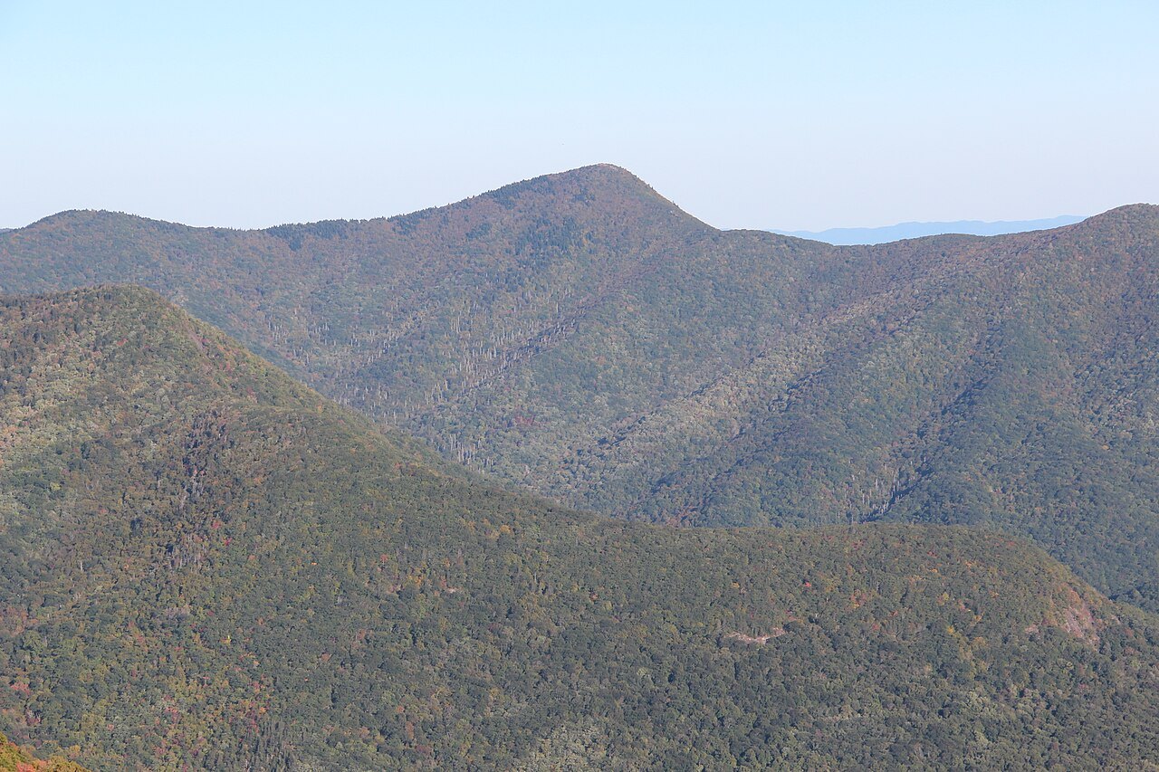
Mount Pisgah, at milepost 408, was once part of the Biltmore Estate, where the first forestry school in America began. From here Looking Glass Rock shows from overlook after overlook. Black Balsam Knob is a grassy bald beside the Shining Rock Wilderness, the largest wilderness area in the state. Devil's Courthouse is a rugged summit rich in Cherokee tradition, and Tanasee Bald is another place rich in Cherokee tradition. Richland Balsam, at milepost 431, is the highest point of the whole road, at 6,053 feet.
Tunnels, stone and the way it was built
Of the Parkway's 26 tunnels, 25 are in North Carolina, where the ridges run across the road's line. They were used instead of open cuts to spare the landscape, and much of the digging in the 1930s was done by hand by Civilian Conservation Corps crews, with drills and dynamite for the rock. The Pine Mountain Tunnel is the longest, at 1,434 feet. The stone portals were mostly added after the original construction.
The same idea runs through the whole road: 168 bridges and six viaducts carry it over streams and ravines, and the interchanges keep cross traffic off the crest.
The seasons on the crest
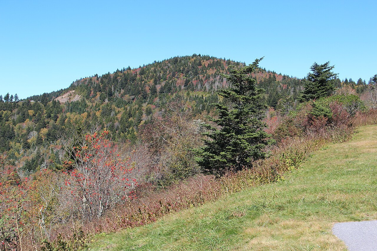
Much of the Parkway is high, colder, wetter and windier than the valleys below. In spring the rhododendrons and dogwoods flower from the valleys upward. Autumn color starts on the mountaintops later in September and descends to the valleys by later in October; in early to middle October you can look down from a cold overlook at warm green valleys below. Trees near the gaps are bent by the wind, and rime ice coats them in cold months.
The road is not maintained in winter. Sections over high ground and near the tunnels are often closed from late fall into early spring, and the Park Service limits the chemicals it uses on ice, so some closures last a long time. Read more in When to Come.
How to visit
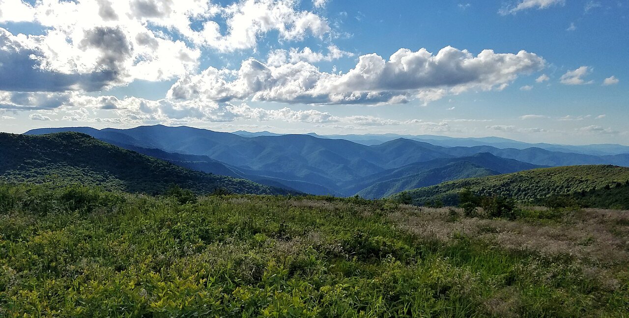
Plan the Parkway as a slow road. Its pace is set by curves and overlooks, and the drive between two points always takes longer than the interstate. Enter at the section you want rather than driving it end to end: the Grandfather and Linville stretch from Blowing Rock, the high country from Asheville, and the southern end from Cherokee.
Hurricane Helene closed the entire Parkway in late September 2024. Sections began to reopen on October 11, 2024, and some stayed closed well into 2025. Before you set a route, check the National Park Service's road status page for the Parkway, which lists closures by milepost, and have a valley road ready as a detour, since short closures may not have a signed one.
Nearby