PLANNING · GETTING AROUND
Driving North Carolina
Photographs: Ken Lund from Reno, Nevada, USA, Wikimedia Commons, CC BY-SA 2.0 · Maria newengland, Wikimedia Commons, CC BY-SA 4.0 · Cape Hatteras National Seashore, Wikimedia Commons, Public domain
Access North Carolina · The roads
This is a state you see by car: interstates across the Piedmont, slow and beautiful two-lane roads over the mountains, the Blue Ridge Parkway along the crest, and a highway down the Outer Banks that becomes a ferry where the islands end. Here is how the roads work, from Murphy to Manteo.
Some links on this page are affiliate links. If you book through one we may earn a commission, at no extra cost to you. It does not affect what is recommended here, and no landmark or city page on this site carries one.
Car rental is the one booking this site can point to for a state best seen by car:
The ways of getting around
- Car
A car
Essential for the mountains, the Parkway and the coast; rent at the airport you fly into. Distances are long, and most landmarks lie well away from public transport.
- The Parkway
The Blue Ridge Parkway
A two-lane park road along the crest, with mileposts counting to 469 at the Smokies. Slow by design, closed in stretches in winter and in storms, and forbidden to commercial vehicles.
- Ferry
The state ferries
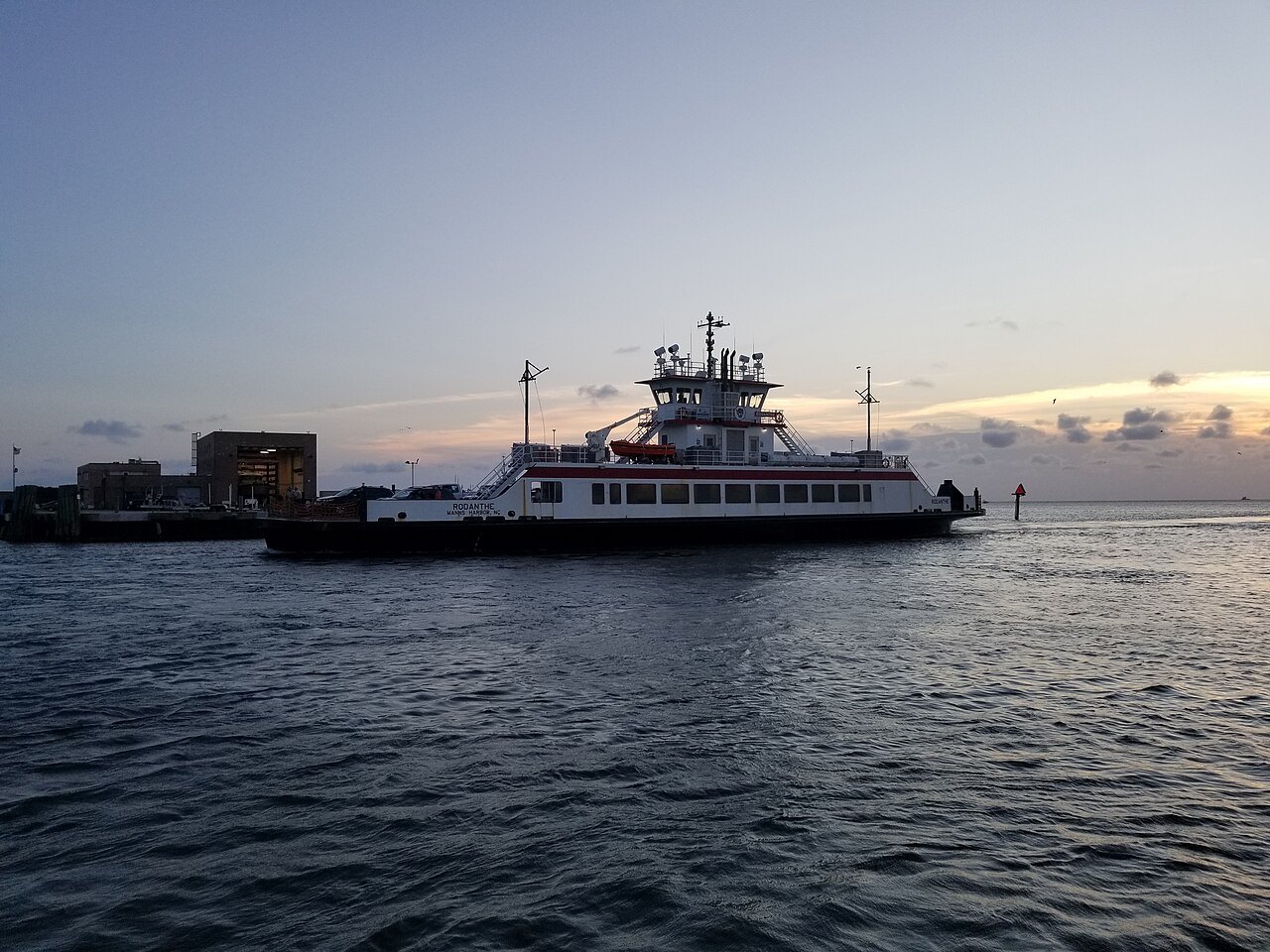
NC 12 continues by ferry between the Outer Banks islands, and ferries cross the sounds and the Cape Fear. Several routes carry cars; see the Ferries page.
- By rail
Trains between cities
The Piedmont and the Carolinian link Charlotte, Greensboro, Durham, Cary and Raleigh, useful for a city-to-city trip without a car.
- Transit
City transit
Charlotte has the LYNX Blue Line light rail and a streetcar; Asheville, Raleigh and Durham run bus systems. Good in town, of little use beyond it.
- On foot
On foot
The historic centers, Old Salem, downtown Asheville, New Bern, Beaufort, Wilmington's riverwalk, are best seen walking once you have parked.
From Murphy to Manteo
North Carolinians describe the size of their state with a phrase, "from Murphy to Manteo": from the westernmost town, in the far corner of the mountains, to the town on Roanoke Island near the Outer Banks. US 64 joins the two, the longest numbered route in the state at 604 miles, and the drive between them takes you through all three regions of North Carolina, the Mountains, the Piedmont and the Coast.
You will do most of that by car. The landmarks on this site are spread across hundreds of miles, and the Parkway, the national seashores and the mountain parks have no public transport worth planning around. Rent a car at the airport you fly into, since that is where the choice is widest, and plan days that end where they start or that move steadily in one direction; the road trips are built that way.
The interstates
I-40 is the spine of the state. It is the longest interstate in North Carolina and the only one to cross it from end to end, running 420 miles from the Tennessee line through Asheville, Winston-Salem, Greensboro, Durham and Raleigh to Wilmington. Its busiest stretch, in Raleigh, carries close to 200,000 vehicles a day.
I-85 crosses the Piedmont from southwest to northeast through Charlotte, Greensboro and Durham, I-77 runs north from Charlotte past Mount Airy, I-95 cuts through the rural east, and I-26 runs through the mountains by way of Asheville. Around Charlotte the traffic is heavy; parts of I-77 through the city have express lanes, and rush hours on the main commuter routes are slow.
Mountain roads
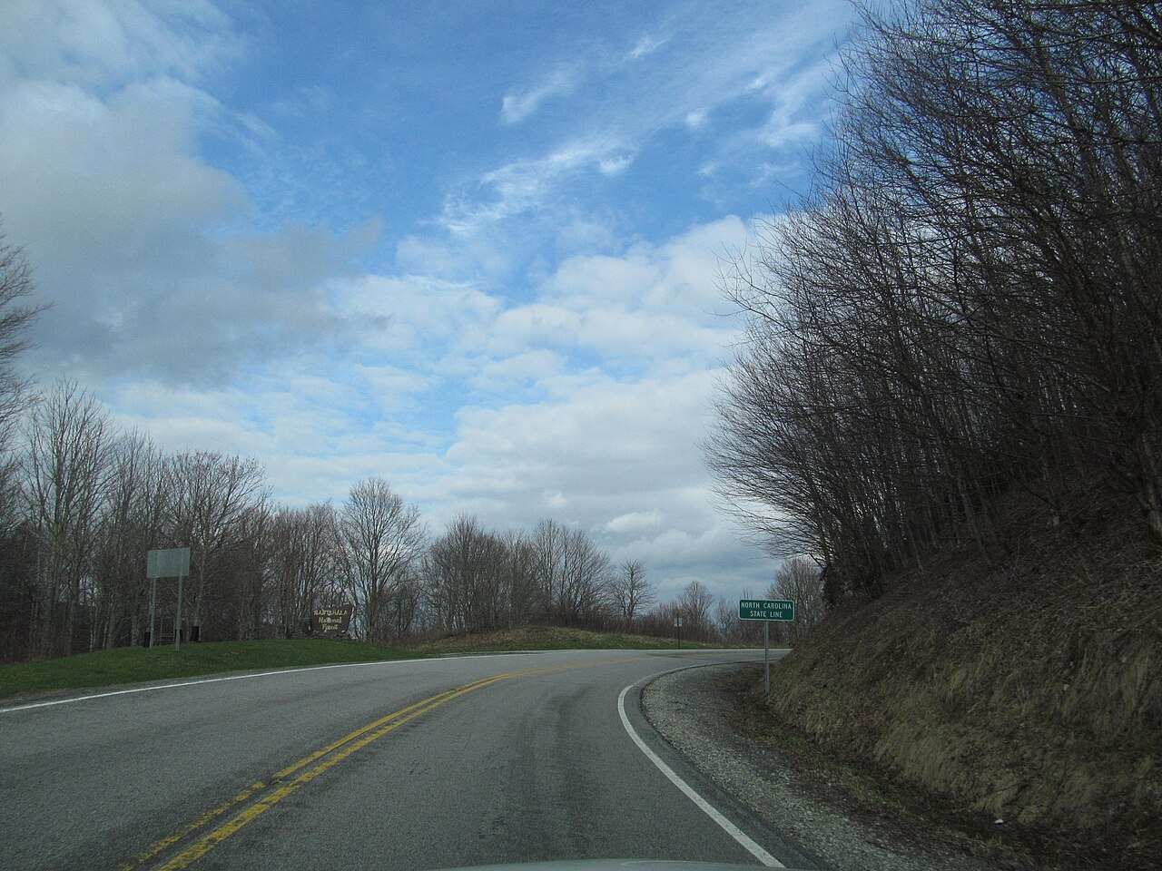
In the mountains, the interstates give way to two-lane roads that twist through gorges and over gaps. Some are built for it: US 64 between Franklin and Highlands is a mountainous two-lane road limited to moderate-sized trucks, and the big trucks are sent around by another route. Even the interstate feels it: I-26 comes down from Sams Gap with three runaway truck ramps in its first nine miles, a stretch designated a scenic byway. Allow much more time than the map suggests, use lower gears on long descents, and expect fog and rain to come in quickly at height.
I-40 through the Pigeon River Gorge, on the Tennessee line, is the classic example of how hard these roads are to keep open. It runs along the river for sixteen miles and through twin tunnels, and rockslides have closed it again and again; Hurricane Helene washed away its eastbound lanes in 2024. Check the state's travel information before you set out on any mountain route.
Driving the Parkway
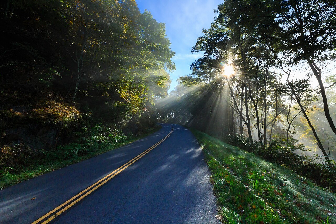
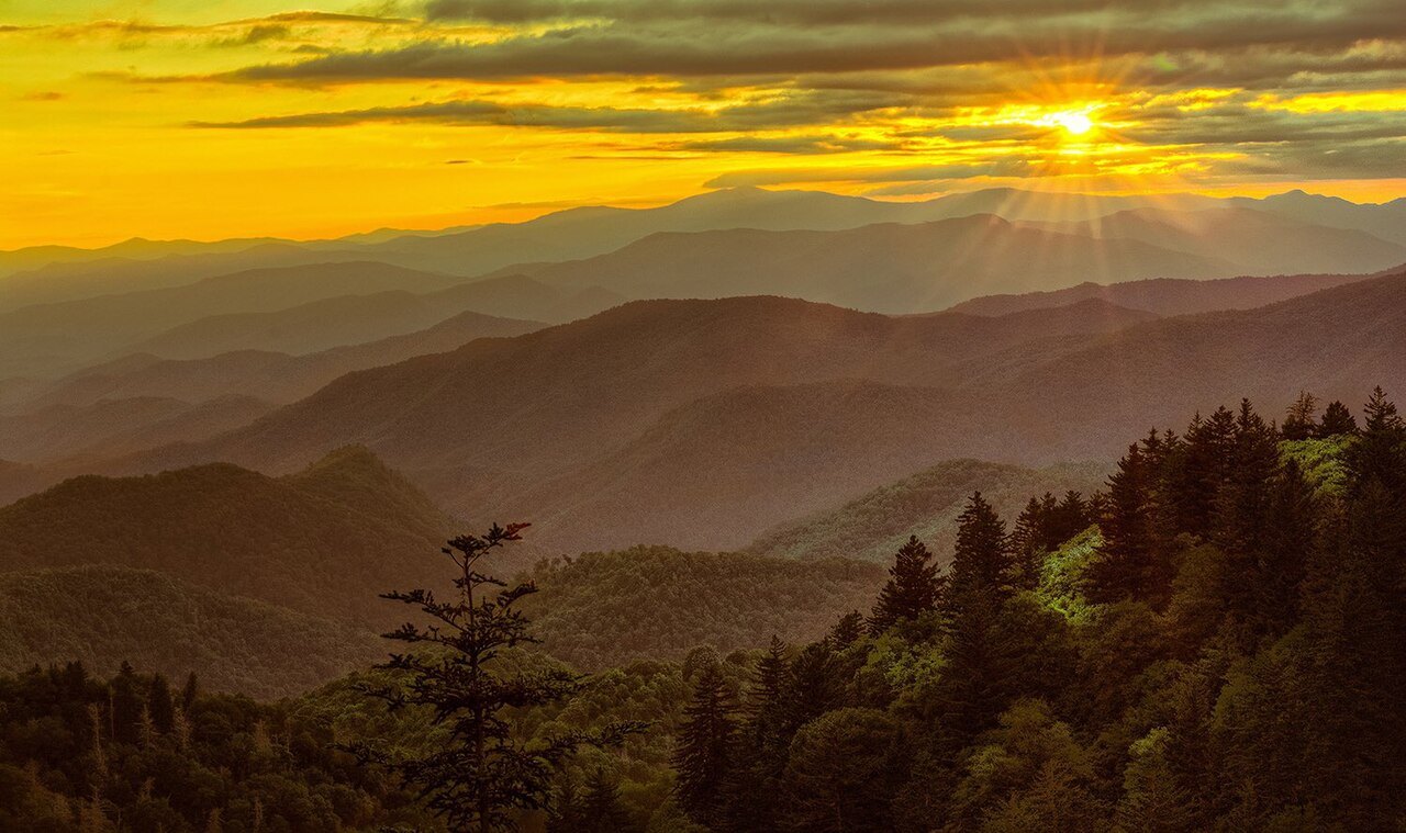
The Blue Ridge Parkway is not a road for getting anywhere quickly. It is a park, 469 miles long, running along the crest from Virginia to the Great Smoky Mountains, with no direct interchanges with any interstate and no cross traffic. Its mileposts count from zero at the northern end to 469 at Oconaluftee near Cherokee, and they appear on the right-hand side of the road as you travel south; addresses along it, and on this site, are given by milepost.
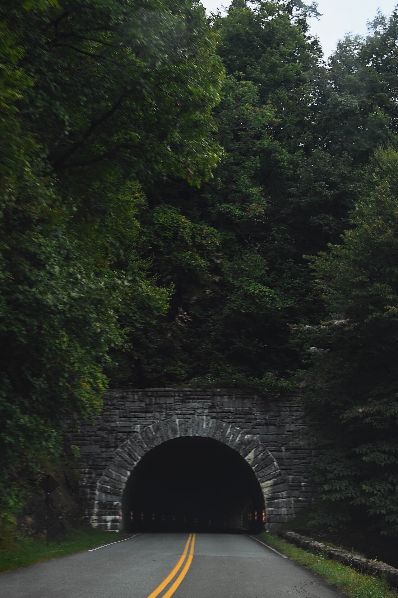
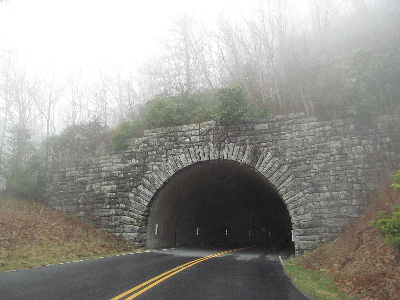
The speed limit is never higher than 45 miles an hour and lower in places, commercial vehicles are not allowed without permission, and there is no fee to use it. The road is not maintained in winter, and the high sections and the tunnels, of which there are 25 in North Carolina, are often closed from late fall to early spring. Weather changes fast in the mountains, and closures change with it.
In late September 2024 Helene closed the entire Parkway. Sections reopened in stages from October 2024, but some stayed closed for a long time; the Park Service keeps a current map of open and closed sections, and it is the first thing to look at before planning a Parkway day. Scenic Drives picks out the best stretches.
The Outer Banks road
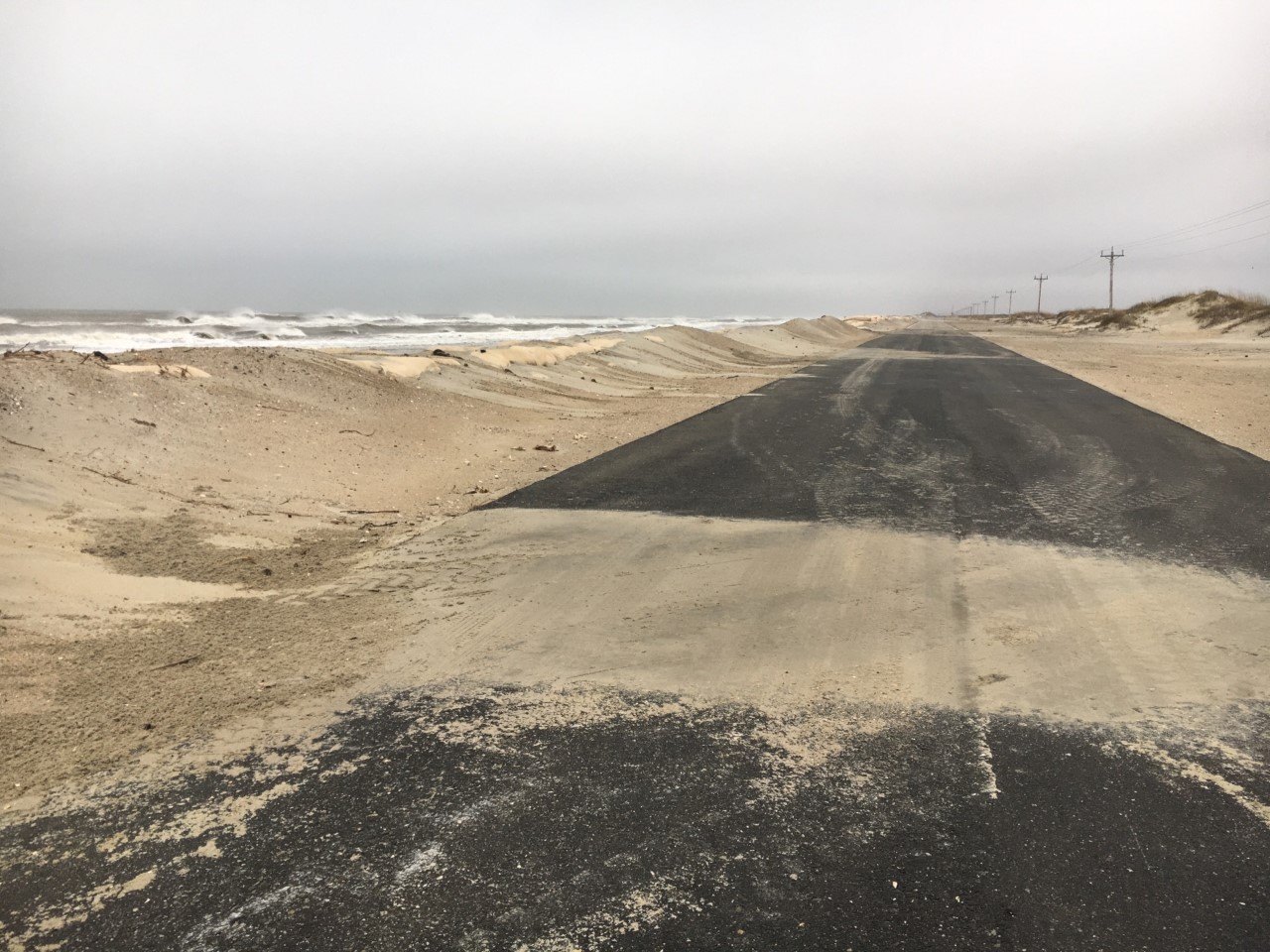
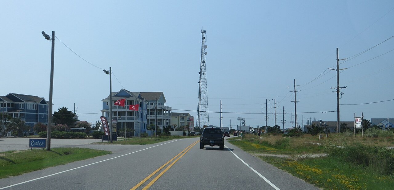
On the coast, NC 12 is the road that holds the Outer Banks together. It runs 148 miles from Corolla in the north through Kitty Hawk, Nags Head and down Hatteras Island to Ocracoke, and on the mainland from Cedar Island to Sea Level, with two ferry crossings in between. Most of it is two lanes wide, and much of it was a sand road until it was paved in the 1950s and early 1960s.
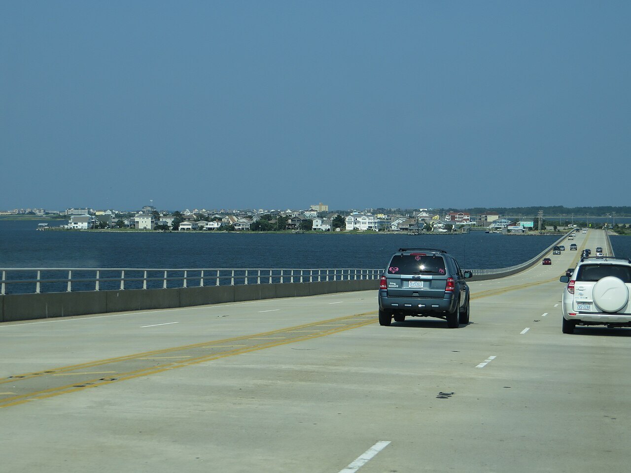
The Marc Basnight Bridge carries it over Oregon Inlet, and since 2022 a long bridge over Pamlico Sound takes it around Rodanthe, replacing a stretch known for closures from overwash and drifting sand. Storms still wash water and sand over the road, and hurricanes have cut it; When to Come covers the hurricane season, and Ferries the crossings at each end of the islands.
Without a car
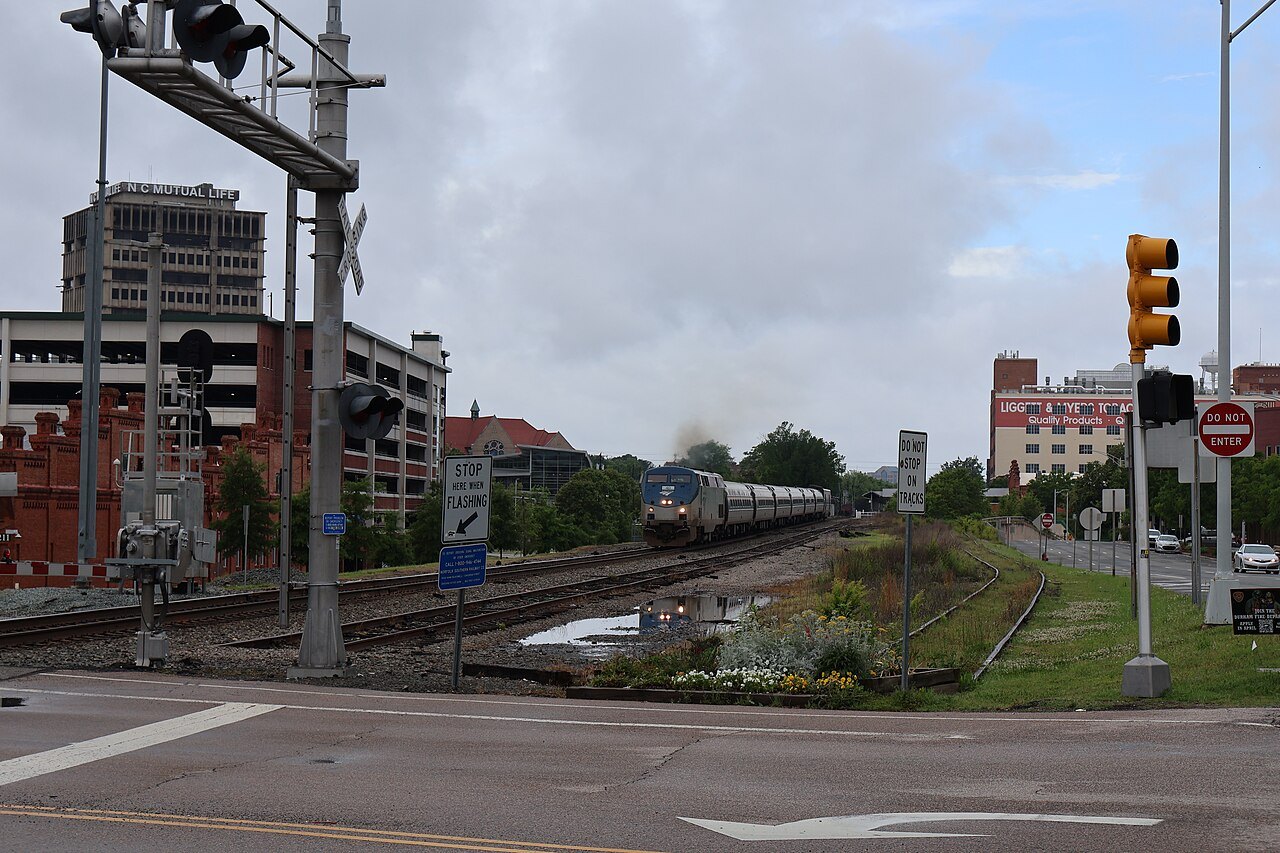
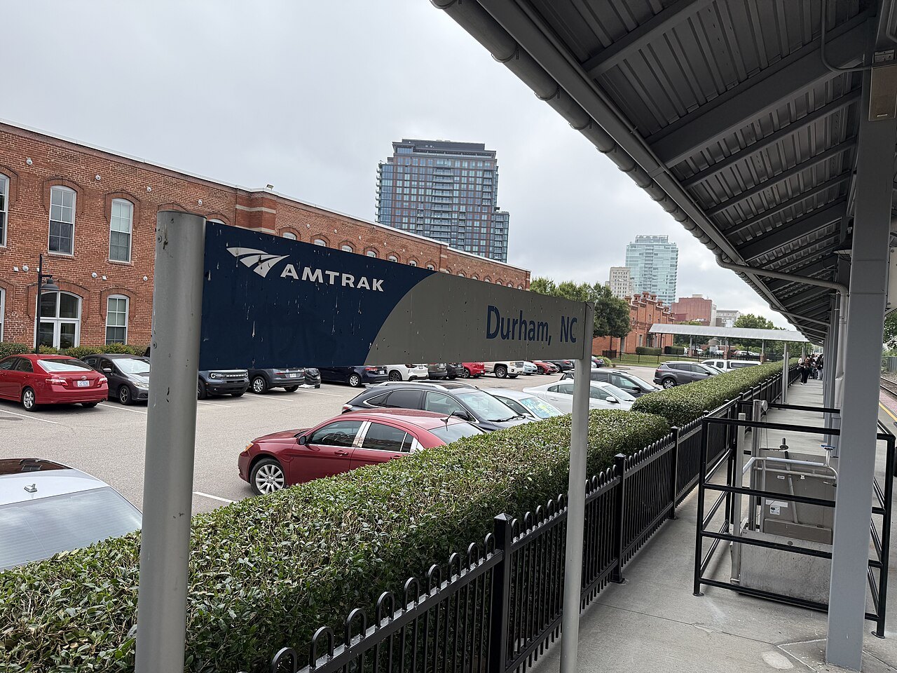
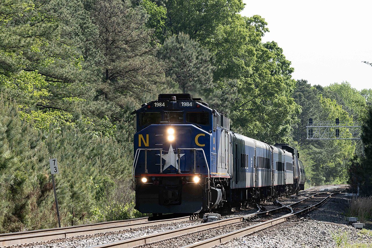
Between the big Piedmont cities you can manage without a car. Amtrak's Piedmont runs four round trips a day between Raleigh and Charlotte, stopping at Cary, Durham, Burlington and Greensboro, and the Carolinian runs the same line once a day on its way to New York. In Charlotte, the LYNX Blue Line light rail runs through Uptown, South End and NoDa, and Asheville's buses run from a central station downtown.
The old towns are best on foot once you arrive: Old Salem, downtown Asheville's Art Deco blocks, the historic districts of New Bern and Beaufort, and Wilmington's riverwalk. For everything else, the car comes back into play.
Practical points
Distances deceive in North Carolina. The mountains and the coast are each a long day's drive from the other, and the roads that make the scenery are the slow ones, so do not try to see the Parkway and the Outer Banks in the same few days. Keep a paper map or a downloaded one as well as your phone: when Helene struck, electricity, cell service and other communications across the mountains were knocked out.
Gas up before long stretches of the Parkway and the Outer Banks. And after any big storm, check the state's travel information and the Park Service's road status before you drive; it changes from day to day.
More for planning
Sources read for this page
- en.wikipedia.org/wiki/U.S._Route_64_in_North_Carolina
- en.wikipedia.org/wiki/Interstate_40_in_North_Carolina
- en.wikipedia.org/wiki/Interstate_85_in_North_Carolina
- en.wikipedia.org/wiki/Interstate_77_in_North_Carolina
- en.wikipedia.org/wiki/Blue_Ridge_Parkway
- en.wikipedia.org/wiki/North_Carolina_Highway_12
- en.wikipedia.org/wiki/Piedmont_(train)
- en.wikipedia.org/wiki/Charlotte,_North_Carolina
- en.wikipedia.org/wiki/Asheville,_North_Carolina
- en.wikipedia.org/wiki/Effects_of_Hurricane_Helene_in_North_Carolina