PLANNING · SCENIC DRIVES
Scenic drives in North Carolina
Photographs: Adam Chivers, Wikimedia Commons, CC BY-SA 4.0 · LTreadwell, Wikimedia Commons, CC BY-SA 4.0 · Leslie Anne Perry, Wikimedia Commons, CC0
Access North Carolina · Routes and loops
The great drives of North Carolina, with the Blue Ridge Parkway as the spine of the mountains and NC 12 and its ferries as the spine of the coast: the high crest past Grandfather Mountain, the stretch south of Asheville above six thousand feet, the road over Newfound Gap, the Cherohala Skyway, and the sand road down the Outer Banks.
The drives
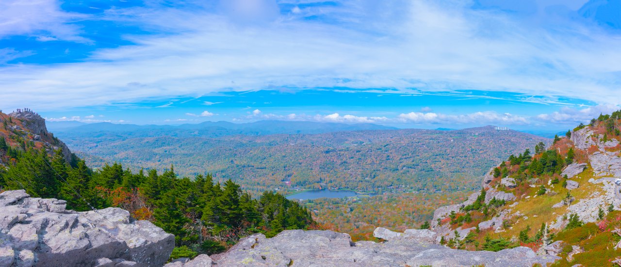
A wide view from the rocks of Grandfather Mountain across the valleys below. Photo: Marshallhash89, Wikimedia Commons, CC BY-SA 4.0 1The Parkway: the High Country
Pastures and old cabins, Moses Cone's manor above Blowing Rock, Price Lake and the Linn Cove Viaduct curling round Grandfather Mountain.
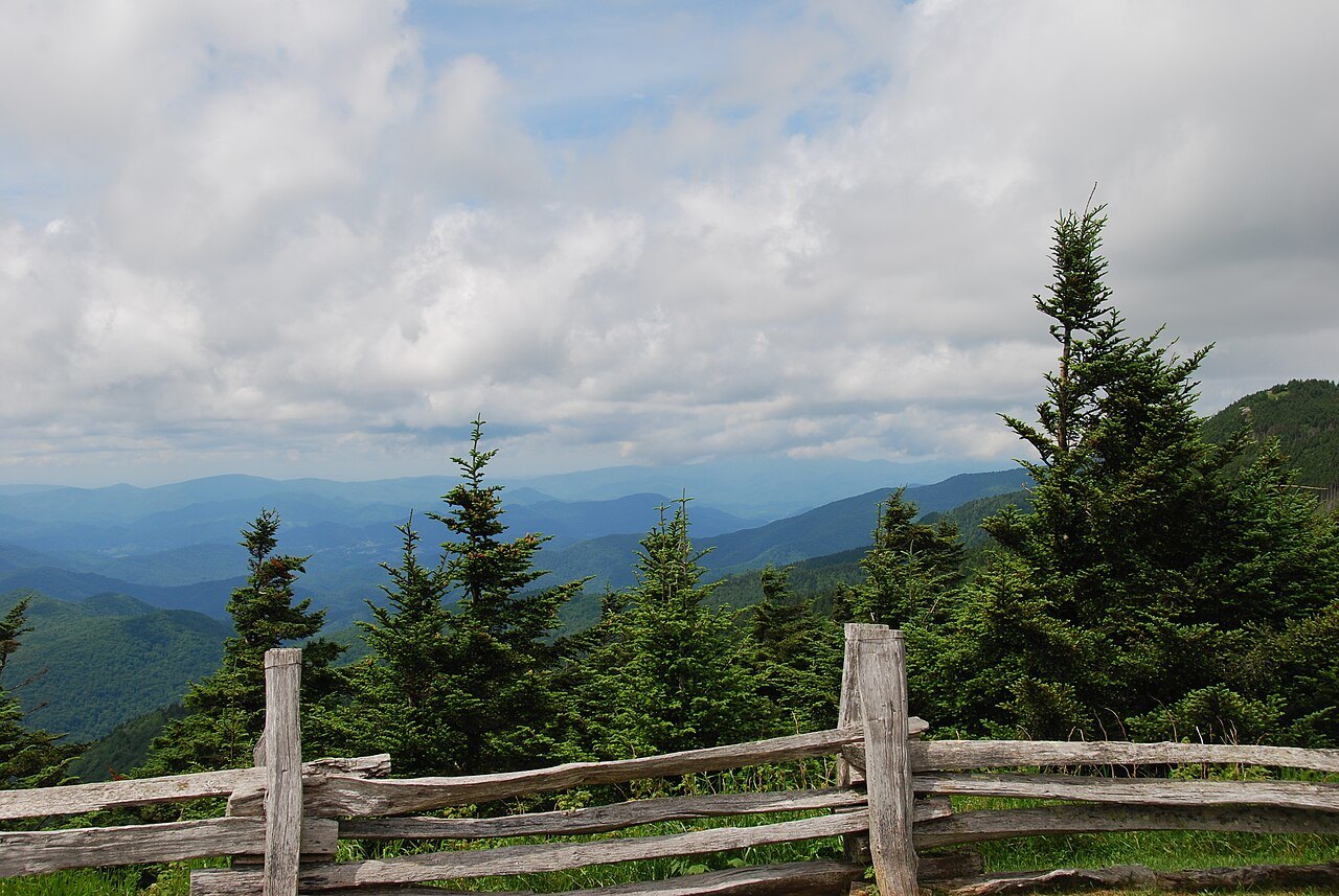
Spruce and a split-rail fence at an overlook on Mount Mitchell. Photo: Patrick Reynolds, Wikimedia Commons, CC BY-SA 4.0 2The Parkway: the Black Mountains
The climb to Mount Mitchell, the highest point in the East, and Craggy Gardens, purple with rhododendron in June.
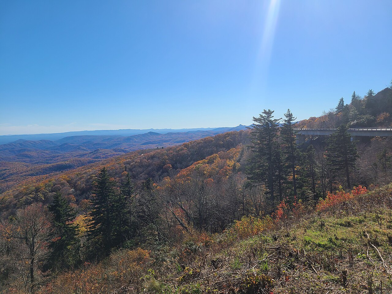
The Blue Ridge Parkway curving along the mountainside near Grandfather Mountain in autumn. Photo: Bigmacthealmanac, Wikimedia Commons, CC BY-SA 4.0 3The Parkway: above six thousand feet
Mount Pisgah, Looking Glass Rock, Black Balsam Knob and Richland Balsam, the Parkway's highest point, down to the Smokies.
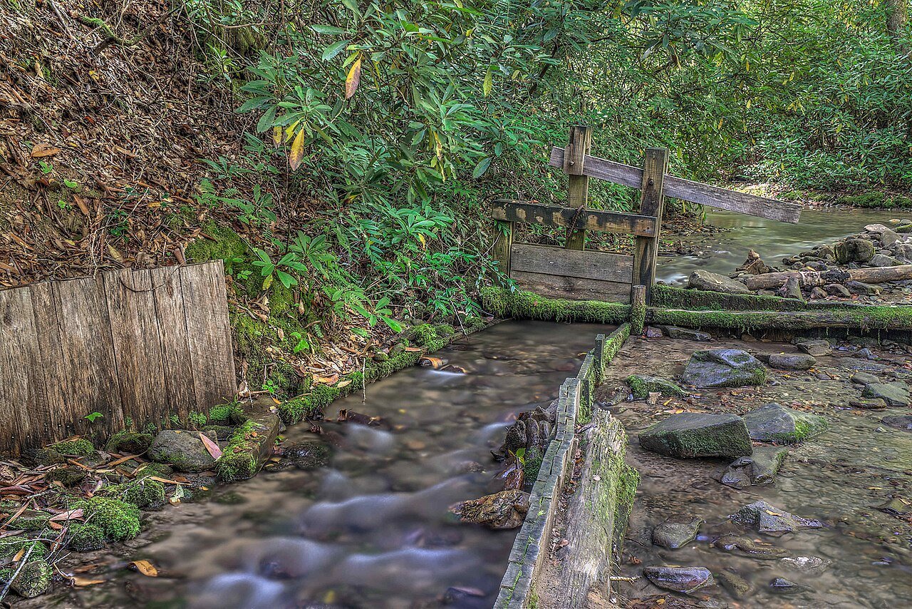
A mill race of wooden boards beside the Mingus Mill trail. Photo: Dsdugan, Wikimedia Commons, CC0 4Newfound Gap Road
Through Great Smoky Mountains National Park from the Oconaluftee valley up to the state-line gap and the Rockefeller Memorial.
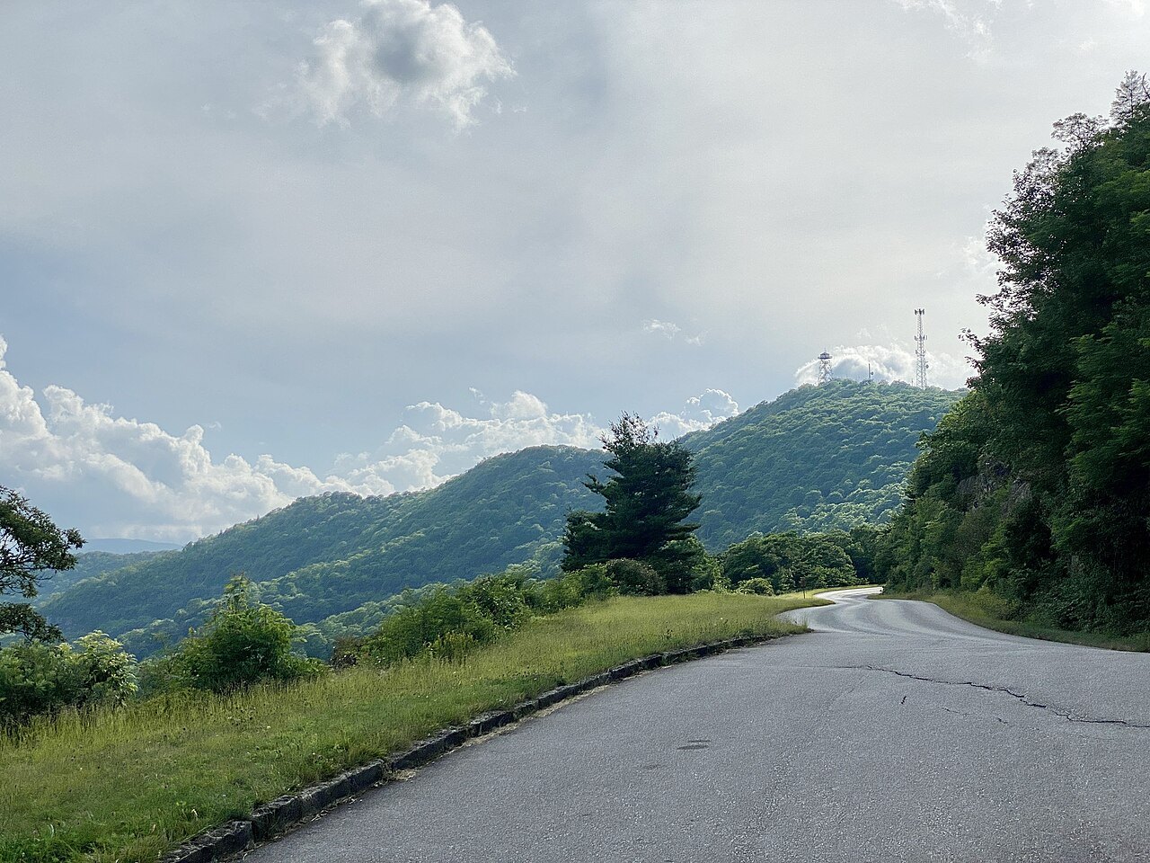
The Parkway curving past the Funnel Top Overlook toward Mount Pisgah. Photo: w_lemay, Wikimedia Commons, CC BY-SA 2.0 5The Cherohala Skyway
The North Carolina half of a high byway through the Nantahala forest, with balds and overlooks above five thousand feet.
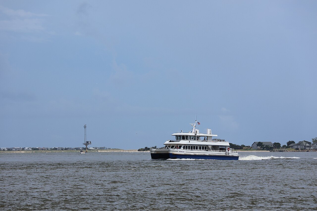
A ferry crossing toward Bald Head Island at the mouth of the Cape Fear. Photo: DiscoA340, Wikimedia Commons, CC BY-SA 4.0 6The Forest Heritage Scenic Byway
Nearly 77 miles through Pisgah National Forest past waterfalls, Lake Logan, the Cradle of Forestry and the Shining Rock Wilderness.
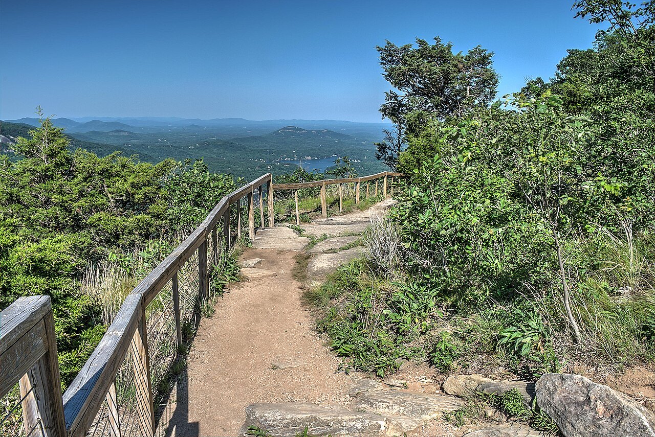
A fenced trail along the cliffs with views over the gorge. Photo: David Dugan, Wikimedia Commons, CC BY-SA 3.0 7Hickory Nut Gorge
Down the gorge past Chimney Rock and the lake, still rebuilding after Hurricane Helene.
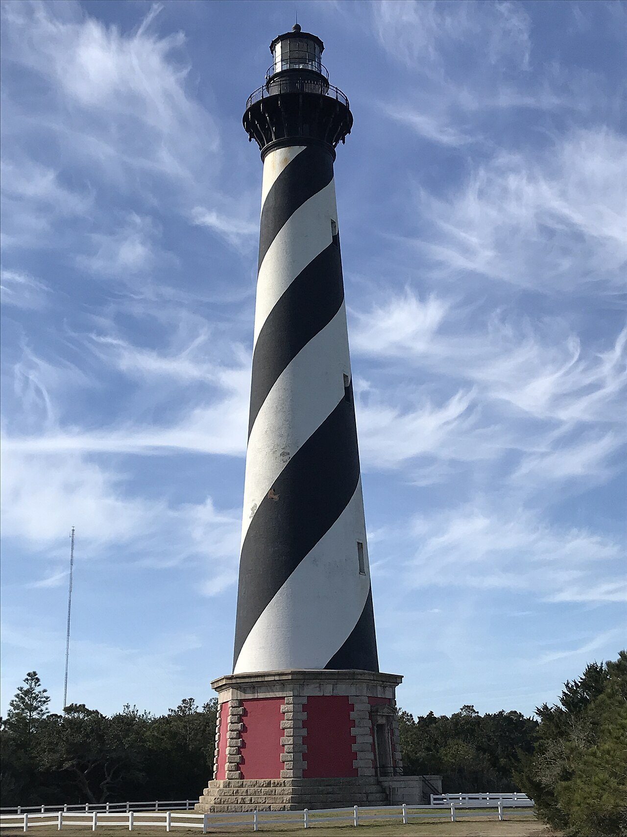
The black-and-white spiral of the Cape Hatteras Lighthouse. Photo: Jschildk, Wikimedia Commons, CC BY-SA 4.0 8The Outer Banks Scenic Byway
Down the barrier islands past the lighthouses, across by ferry to Ocracoke and across Pamlico Sound to the mainland.
Two spines
Most of the finest driving in North Carolina follows one of two roads. In the mountains it is the Blue Ridge Parkway, which runs along the crest of the Blue Ridge for 252 of its 469 miles, from the Virginia line near Cumberland Knob to the edge of the Great Smoky Mountains at Cherokee. On the coast it is NC 12, which runs down the Outer Banks and continues by ferry to Ocracoke and across Pamlico Sound.
Everything else on this page hangs off those two: the side roads that climb to the high peaks, the byways through the national forests, and the gorge roads that fall away from the Blue Ridge toward the Piedmont. Before any of them, look at the Park Service's and the state's road information; Hurricane Helene closed the whole Parkway in 2024, and parts stayed closed for a long time afterward.
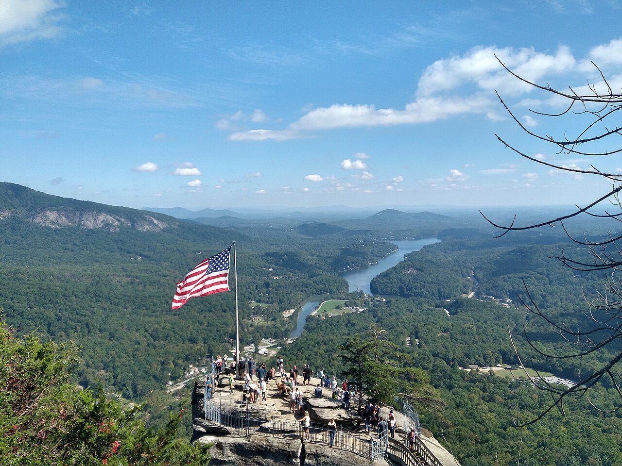
The Parkway: the High Country
The northern Parkway in North Carolina is a road of old farms, cabins and grassy knobs. Cumberland Knob, just past the Virginia line, is a small recreation area, and The Lump, a grassy knob, looks out over the forested foothills. Doughton Park, named for a congressman who championed the road, has trails and the Brinegar Cabin, lived in until the 1930s. Farther south, Moses H. Cone Memorial Park and Flat Top Manor, now a craft center, stand above Blowing Rock, and Julian Price Memorial Park has Price Lake, the only lake on the Parkway where you can paddle.
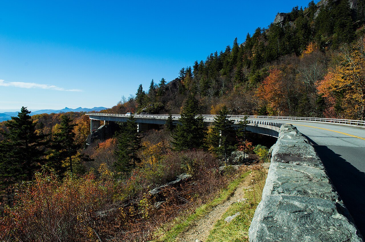
Then comes the most famous engineering on the road, the Linn Cove Viaduct, a curving concrete bridge of 1,243 feet that snakes around the side of Grandfather Mountain. Finished in 1983, it closed the last gap in the Parkway, and it was built from above, segment by segment, so that the mountain below was barely touched. A little farther on are the overlooks of Linville Falls and the Linville Gorge.
The Parkway: the Black Mountains and Craggy
South of Linville the road passes the Museum of North Carolina Minerals and Crabtree Falls, then reaches the turn for NC 128 near Milepost 355, the only road up to Mount Mitchell, the highest point east of the Mississippi. Walker Knob marks the meeting of the Black Mountains and the Great Craggy Mountains, and Craggy Gardens, near Milepost 364, is covered in purple rhododendron in mid to late June.
Nearing Asheville, the Folk Art Center of the Southern Highland Craft Guild, at Milepost 382, sells and shows the crafts of the Appalachians, and the Blue Ridge Parkway Visitor Center, at Milepost 384, tells the story of the road.
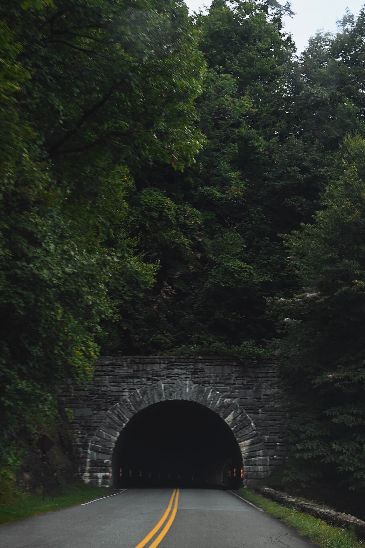
The Parkway: south of Asheville
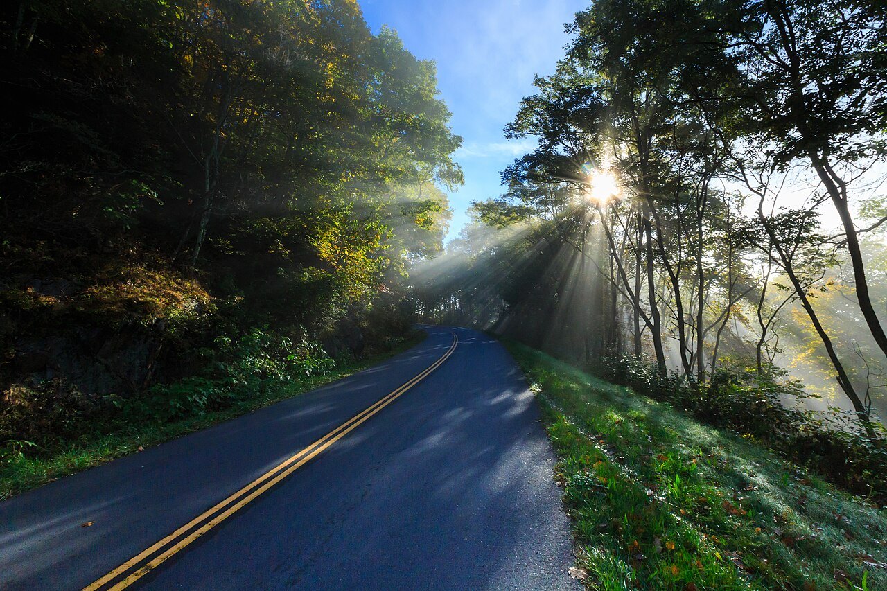
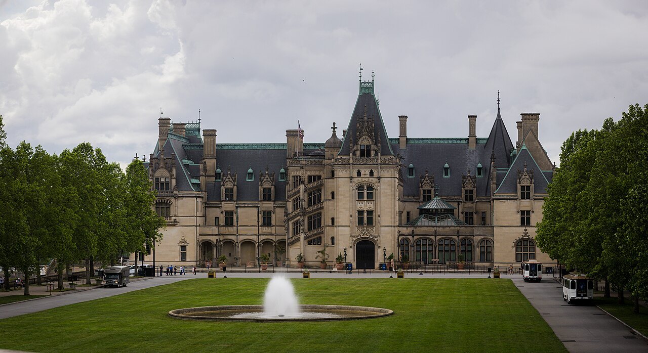
The last stretch, from Asheville to Cherokee, is the highest and wildest. The road crosses the Biltmore Estate, then climbs to Mount Pisgah, once part of the estate and the nucleus of the Pisgah National Forest, where the first forestry school in America began. From there Looking Glass Rock comes into view below the road, and near Milepost 420 lies the Shining Rock Wilderness, the largest in the state, beside the grassy bald of Black Balsam Knob.
Devil's Courthouse, a bare rocky summit, and Tanasee Bald are places rich in Cherokee tradition. The Parkway reaches its highest point, 6,053 feet, on Richland Balsam at Milepost 431, where a trail runs through a remnant spruce-fir forest, and Waterrock Knob, at Milepost 451, looks out over the Great Smokies. The road ends at Milepost 469 at US 441 in the Great Smoky Mountains National Park, near Cherokee.
This last stretch crosses the homeland of the Eastern Band of Cherokee Indians. From 1935 to 1940 the Eastern Band resisted giving up the right-of-way through the Qualla Boundary and won better terms, including the route itself and a new highway through the Soco Valley, and Cherokee leaders took part in the dedications when these sections opened in the 1950s. The whole Parkway was finished only in 1987, fifty-two years after work began, when the stretch around Grandfather Mountain opened.
Into the Smokies
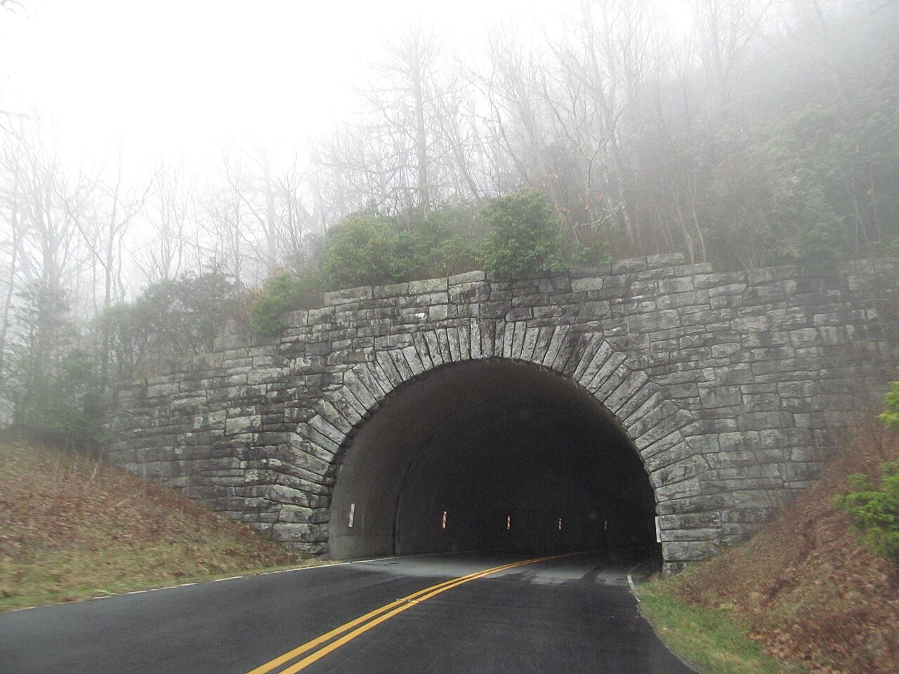
From the end of the Parkway, Newfound Gap Road, US 441, climbs through Great Smoky Mountains National Park from the Oconaluftee valley on the North Carolina side to Newfound Gap, 5,048 feet up on the state line, where Franklin D. Roosevelt dedicated the park in 1940 at the Rockefeller Memorial. The road was completed in 1932 and descends on the far side into Tennessee toward Gatlinburg.
The gap gets heavy snow, and the road, which can only be cleared with plows and a gravel-sand mix inside the park, closes during and after winter storms.
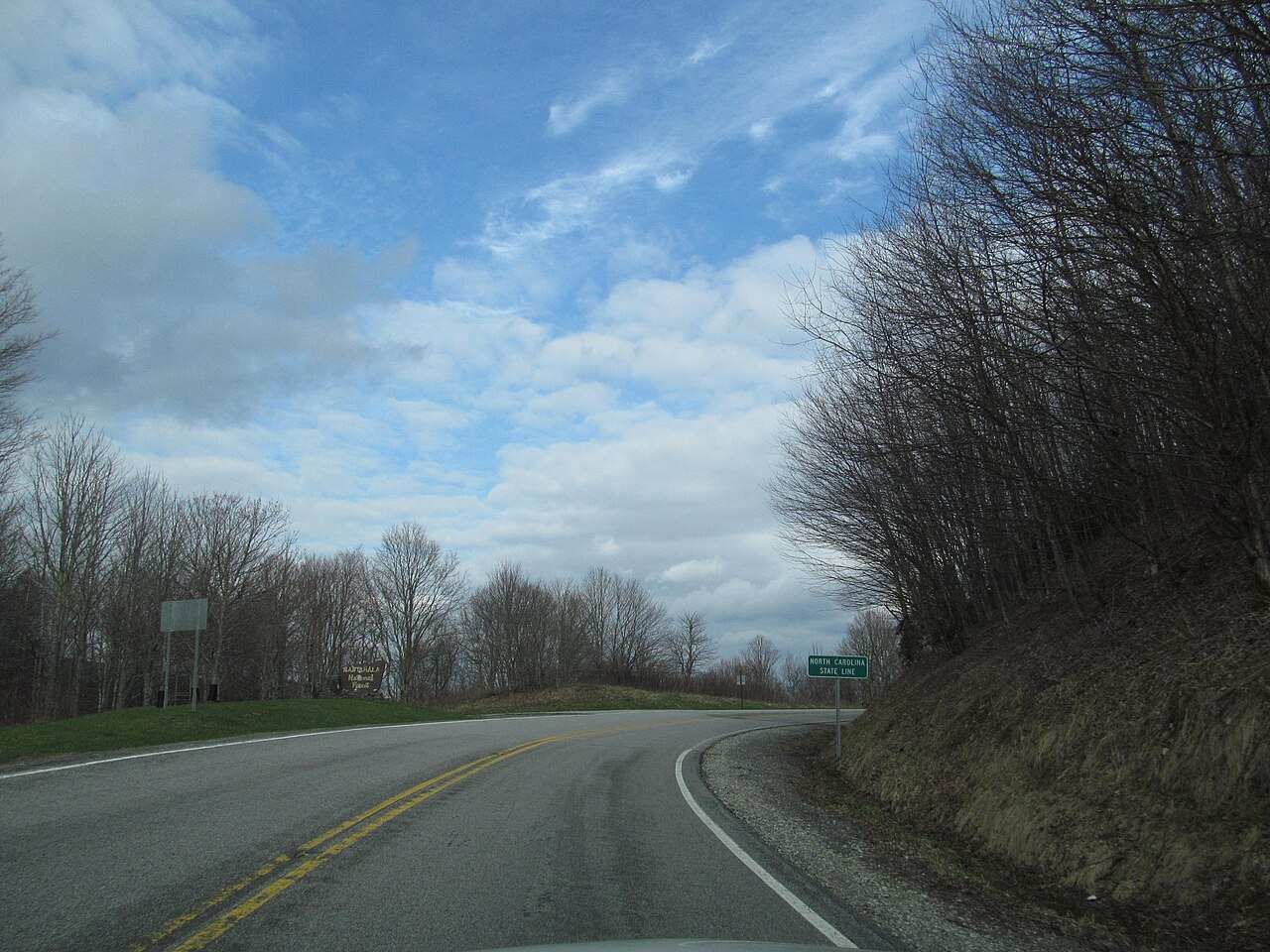
West of the Smokies, the Cherohala Skyway, named for the Cherokee and Nantahala national forests, runs 43 miles between Robbinsville and Tellico Plains in Tennessee. The North Carolina half follows NC 143 for some eighteen miles from Robbinsville to Stratton Gap, with trails to Huckleberry Knob and Hooper Bald and overlooks above five thousand feet, and a side road leads to the old-growth Joyce Kilmer Memorial Forest.
Forest byways and the gorge
The Forest Heritage Scenic Byway runs nearly 77 miles through Pisgah National Forest, starting near Rosman and reaching Brevard, meeting the Parkway at Beech Gap, its highest point at 5,335 feet, and passing Lake Logan, the Cradle of Forestry, waterfalls and the trailhead for the Shining Rock Wilderness between Cold Mountain and Mount Pisgah.
To the east, US 64 drops through Hickory Nut Gorge past Bat Cave, Chimney Rock and Lake Lure; the stretch around Bat Cave is a state scenic byway. Helene struck this gorge hardest of all, and the road and the villages have been rebuilt in stages.
The Outer Banks Scenic Byway
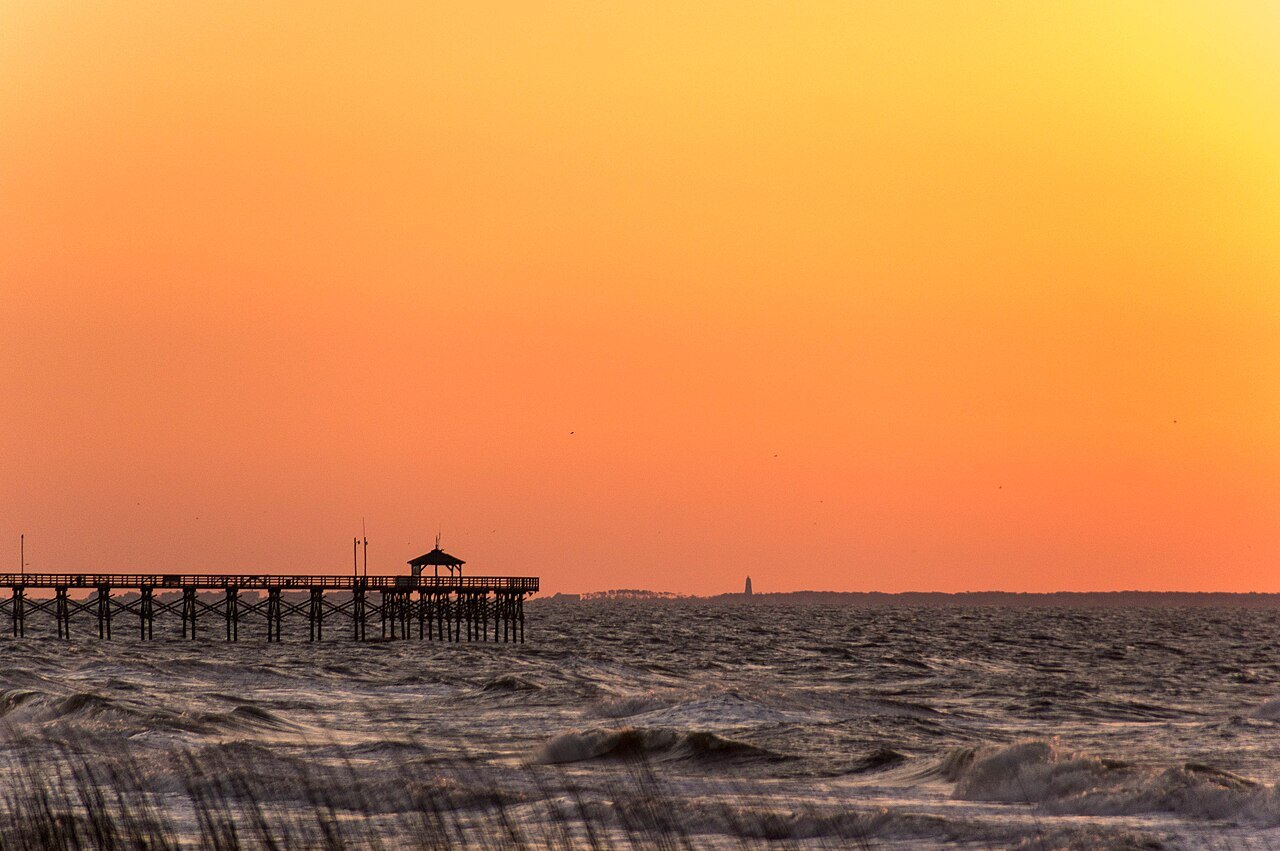
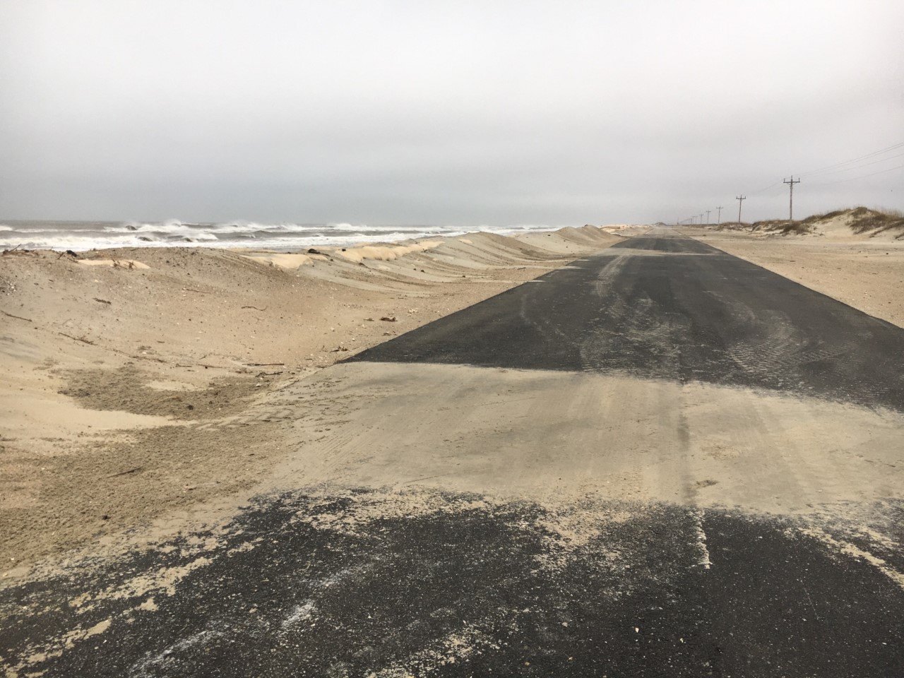
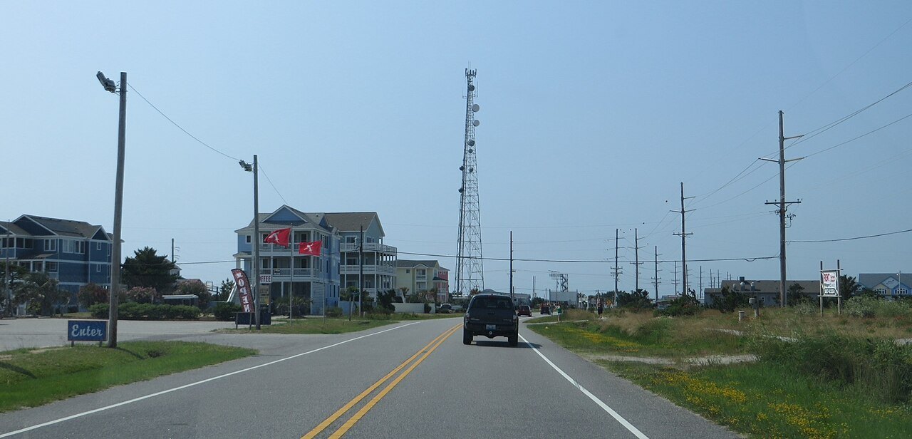
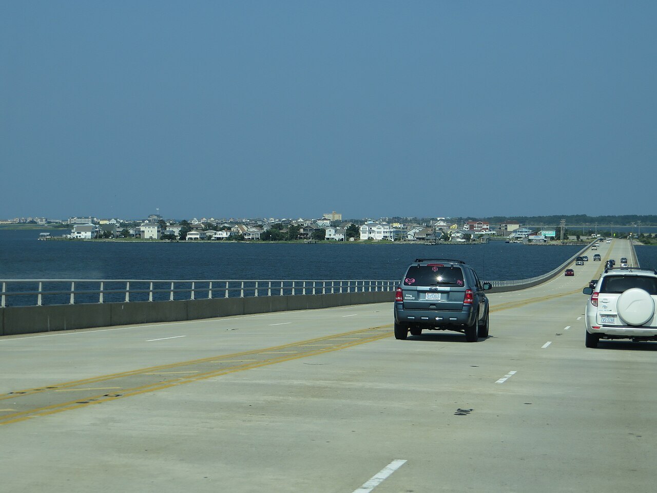
On the coast, the Outer Banks Scenic Byway, a national scenic byway, follows NC 12 from Whalebone Junction in Nags Head down Bodie Island, over the Marc Basnight Bridge, through the Pea Island refuge and down Hatteras Island past the Cape Hatteras lighthouse, then crosses by ferry to Ocracoke and on across Pamlico Sound to Cedar Island and the mainland at Sea Level. It covers about 131 miles.
It is a drive of lighthouses, dunes, marsh and fishing villages, with the sea on one side and the sound on the other, and it needs two ferries and a hurricane-free day. Ferries explains the crossings, and Cape Hatteras the seashore along the way.
More for planning


Sources read for this page