THE MOUNTAINS · THE BLACK MOUNTAINS
Mount Mitchell, the highest summit in the East
Photographs: Tsimmons, Wikimedia Commons, CC BY-SA 3.0 · DiscoA340, Wikimedia Commons, CC BY-SA 4.0 · Patrick Reynolds, Wikimedia Commons, CC BY-SA 4.0
The Mountains · landmark 3 of 21
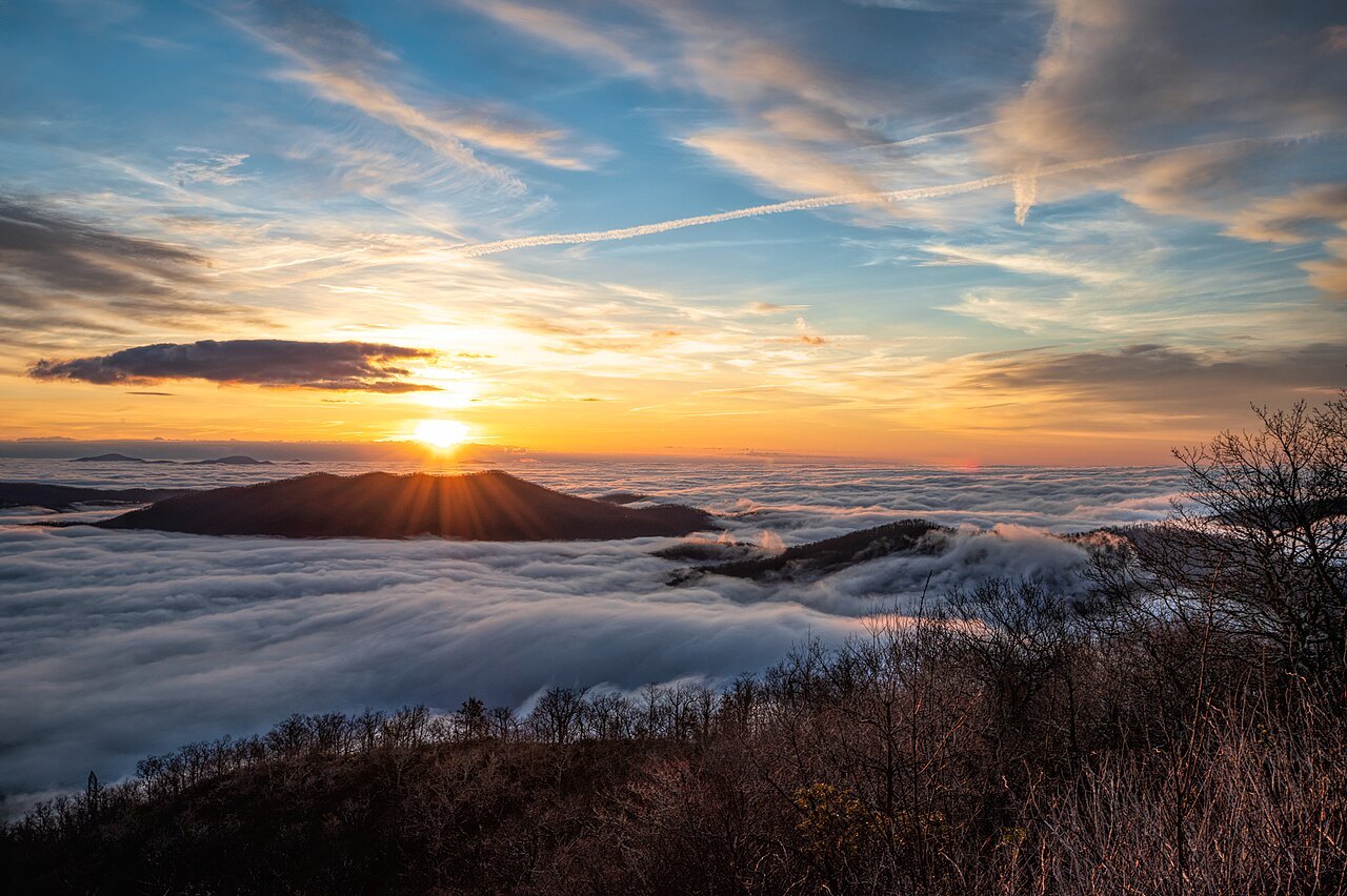
At 6,684 feet, Mount Mitchell is the highest peak in mainland North America east of the Mississippi, the crown of a short, dark range northeast of Asheville and the heart of North Carolina's first state park.
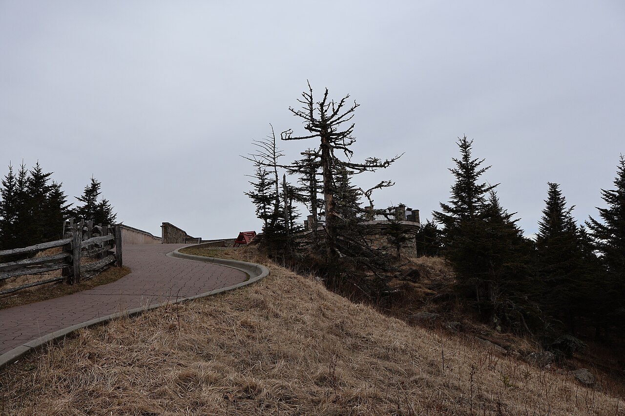
- The summit platformA raised observation deck with a view all the way round, reached by a short steep paved path.
- Elisha Mitchell's graveThe professor who proved the mountain's height is buried at the base of the platform.
- Mount CraigJust 52 feet lower, the second-highest peak in the East, reached by a trail in the park.
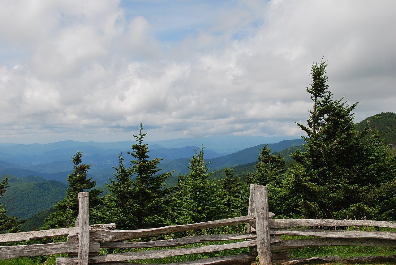
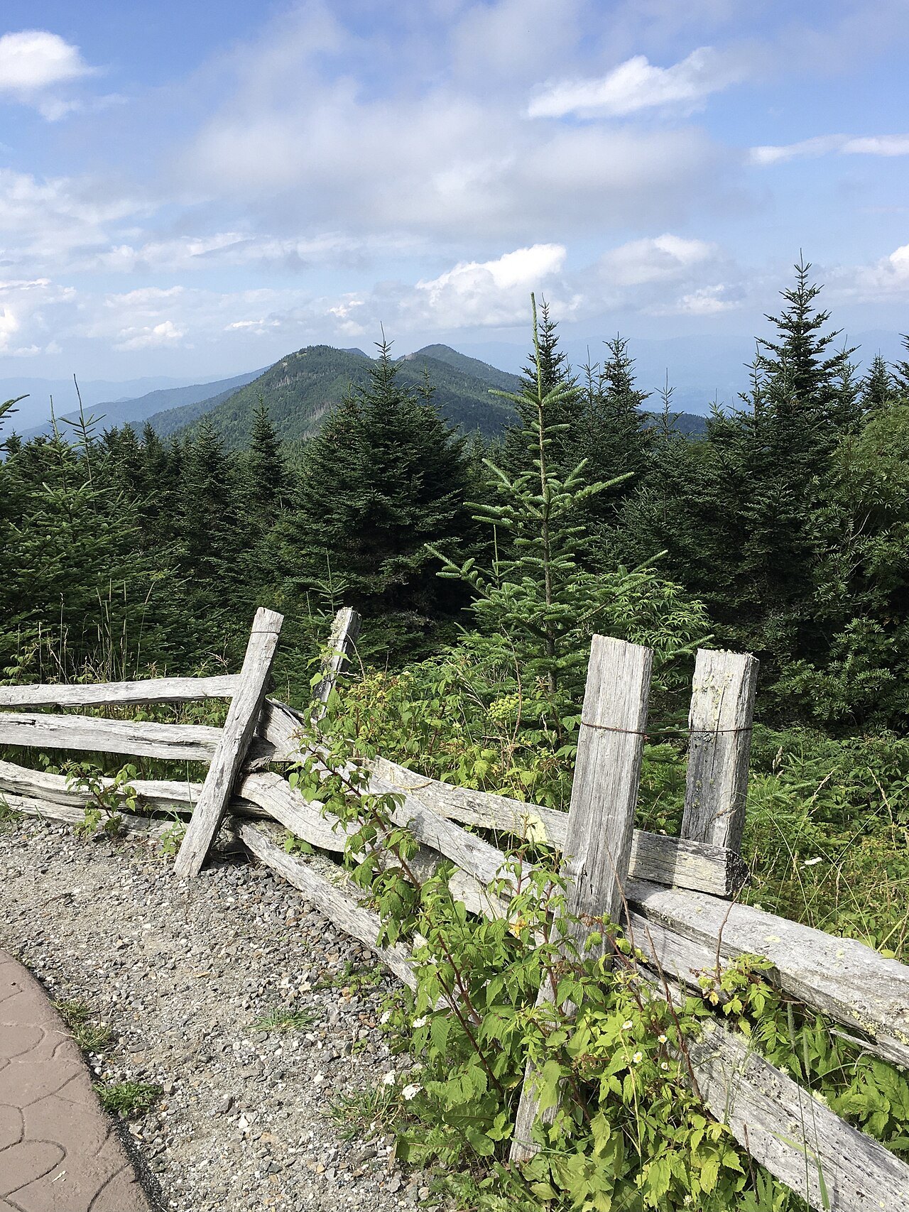
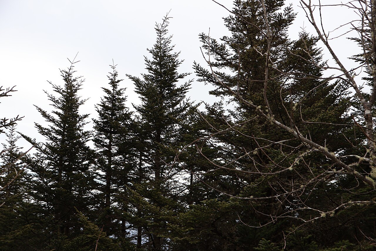
- The spruce-fir forestRed spruce and Fraser fir above 5,500 feet, a cloud forest found on a few southern peaks.
- NC 128The spur road that leaves the Blue Ridge Parkway at milepost 355 and climbs to the park.
- The summit museumA small seasonal museum on the mountain's natural and human history.
Why it matters
Mount Mitchell is the highest peak of the Appalachian Mountains and the highest in mainland North America east of the Mississippi River. It stands in Yancey County, near Burnsville, about 19 miles northeast of Asheville, surrounded by the Pisgah National Forest. The nearest higher ground is in the Black Hills of South Dakota; the nearest higher point of all is more than a thousand miles away, in Colorado.
From 1789 until the Louisiana Purchase in 1803, it was the highest mountain in the United States. It is the centerpiece of Mount Mitchell State Park, which the legislature created in 1915 as North Carolina's first state park, in the same bill that founded the state park system.
The Black Mountains
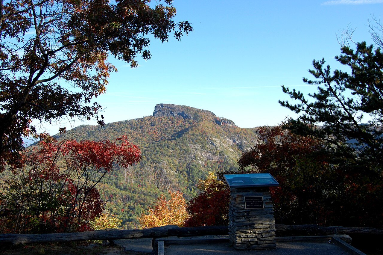
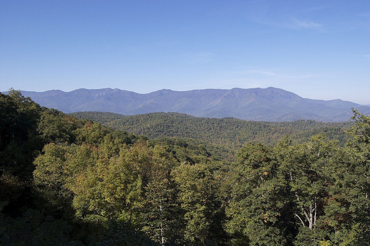
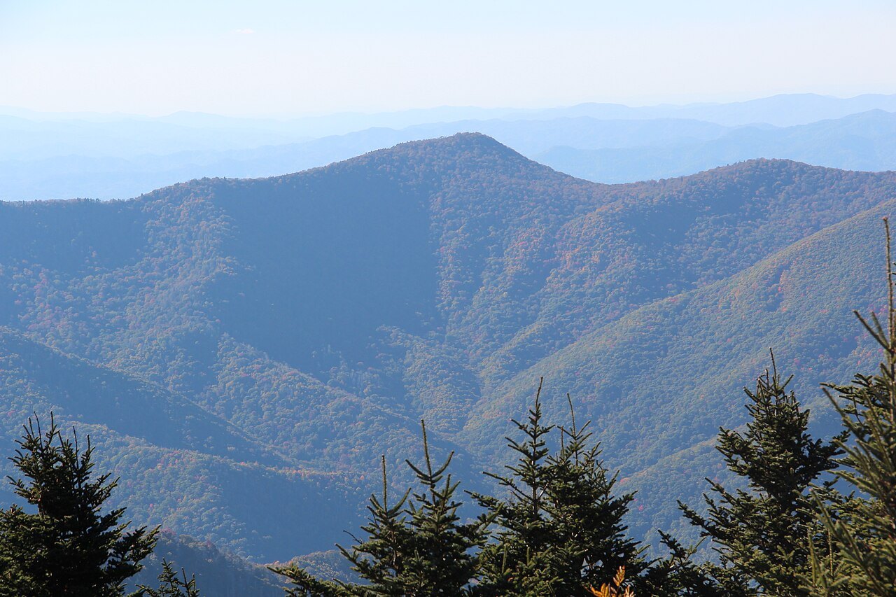
Mount Mitchell belongs to the Black Mountains, the highest range in the eastern United States. The range is named for the dark red spruce and Fraser fir on its upper slopes, which look black against the paler hardwoods lower down. It forms a J-shaped arc only 15 miles long, yet within those miles are 18 peaks of at least 6,300 feet, and six of the ten highest summits in the East.
The eastern side rises more than 4,500 feet above the Catawba River valley and Interstate 40, which is why the range looks so abrupt from the Piedmont side. The rocks are Precambrian gneiss and schist, formed more than a billion years ago from sea sediments and later pushed up with the rest of the Appalachians.
The professor who measured it
The Cherokee, whose homeland this was, called the mountain Attakulla; early settlers called it Black Dome. In the early 19th century, Mount Washington in New Hampshire was thought to be the highest point in the East. In 1835 the state sent Elisha Mitchell, a professor at the University of North Carolina, to measure the western mountains with a barometer. Local guides led him up a bear trail to what they took for the highest of the Blacks, and his figure already placed the range above Mount Washington.
Mitchell came back in 1838 and 1844, getting a higher reading each time. In 1855 Thomas Clingman, a politician and a former student of Mitchell's, climbed Black Dome, measured it, and reported to Joseph Henry of the Smithsonian, who agreed that it was the highest summit and that it should carry Clingman's name. Mitchell answered that he had stood on the same summit in 1844, and the two argued it out in the newspapers through 1856.
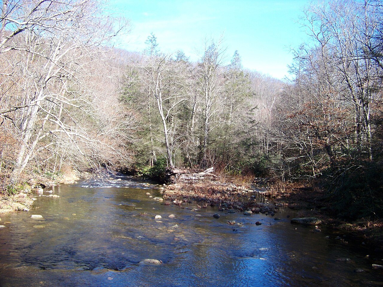
In 1857 Mitchell went back to settle it and fell to his death at Mitchell Falls, near the mountain. He is buried on the summit, at the base of the observation platform, and the peak carries his name; Clingman's went to a summit in the Smokies, the one now called Kuwohi.
Logging, fire and the first state park
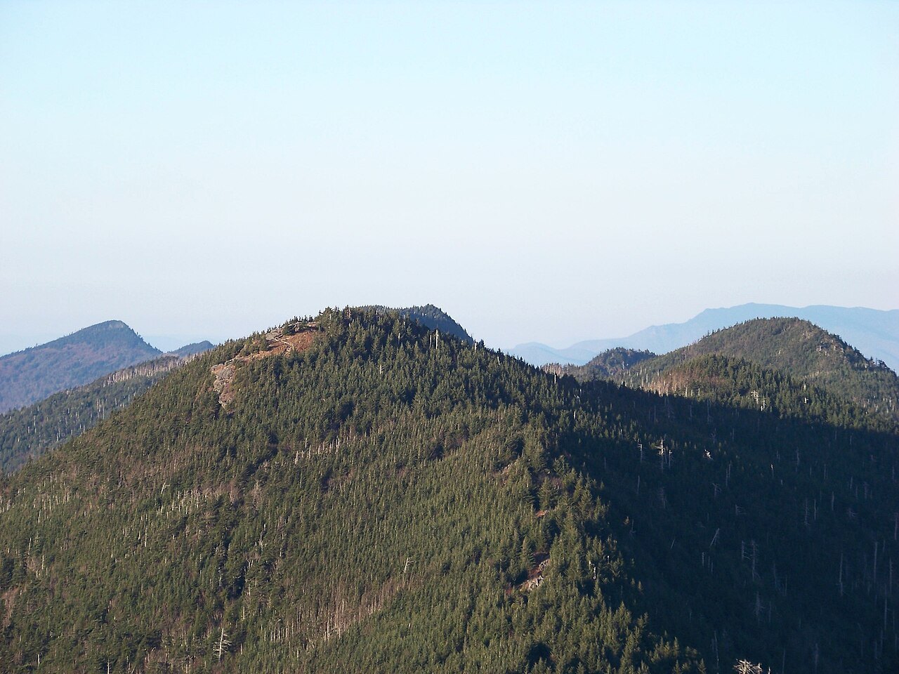
Once the Blacks were known to be the highest mountains in the Appalachians they drew visitors: by the 1850s there was a lodge in the southern part of the range, and local men worked as guides. Early in the 20th century, logging stripped much of the spruce and fir, and fires followed on the cut land.
Governor Locke Craig and the state forester John Simcox Holmes pushed for protection. After a first attempt failed in 1913, the legislature approved the purchase of land from Stepps Gap to the summit of Big Tom in 1915, the core of the park today. The Pisgah National Forest grew around it.
What you see at the top
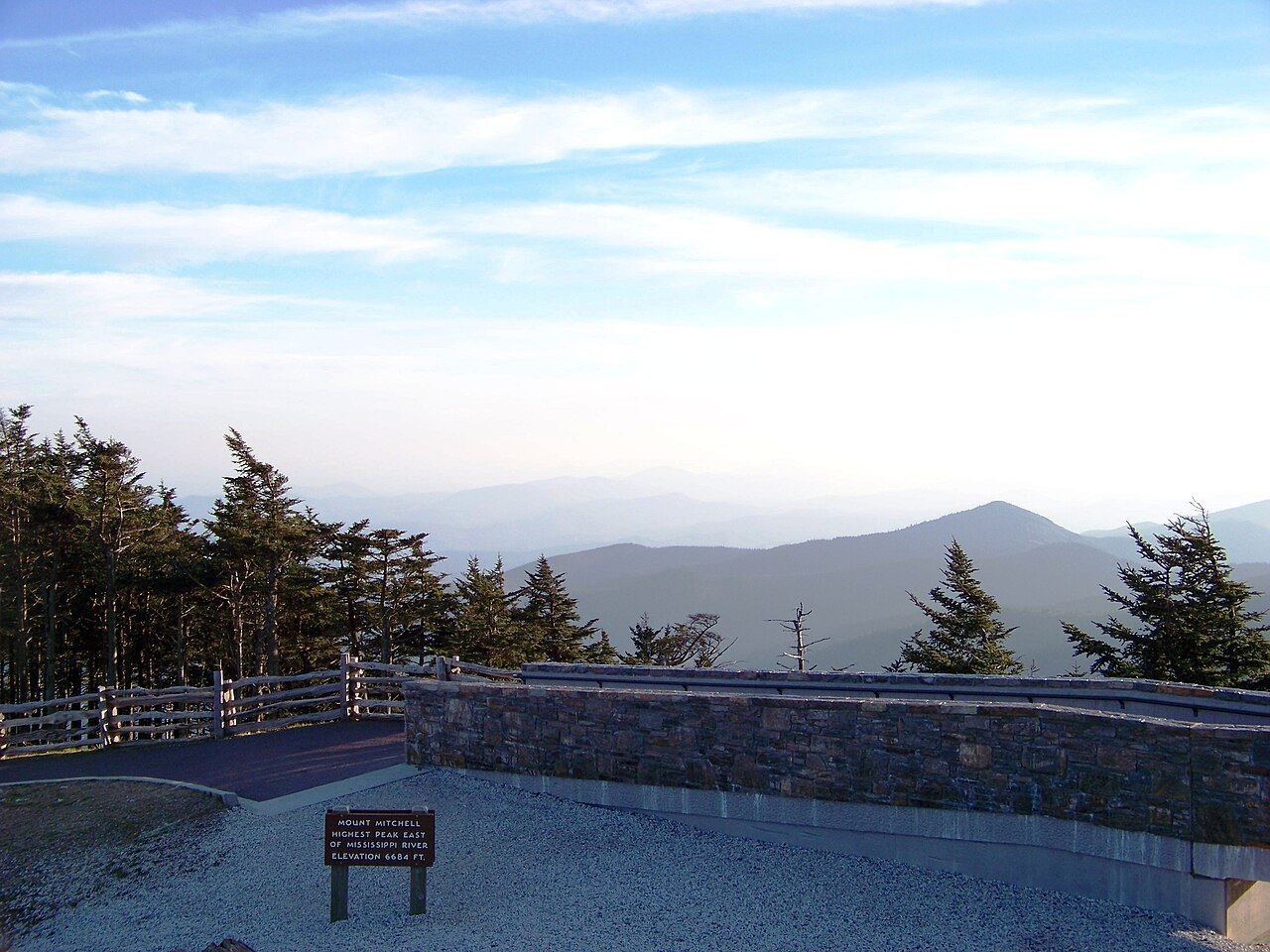
From the parking area near the summit, a steep paved path climbs to a raised observation platform with views in every direction. The old stone tower came down in 2006, and the present platform opened in 2009. Mitchell's grave sits at its base. A small museum at the summit opens seasonally, and the park runs a restaurant and a tent campground in season.
The park covers 4,789 acres and several other peaks over 6,000 feet: Mount Craig, only 52 feet lower and the second-highest summit in the East, Big Tom and Balsam Cone. About eight miles of trail reach them all except Mount Hallback.
A forest in trouble, and a hard climate
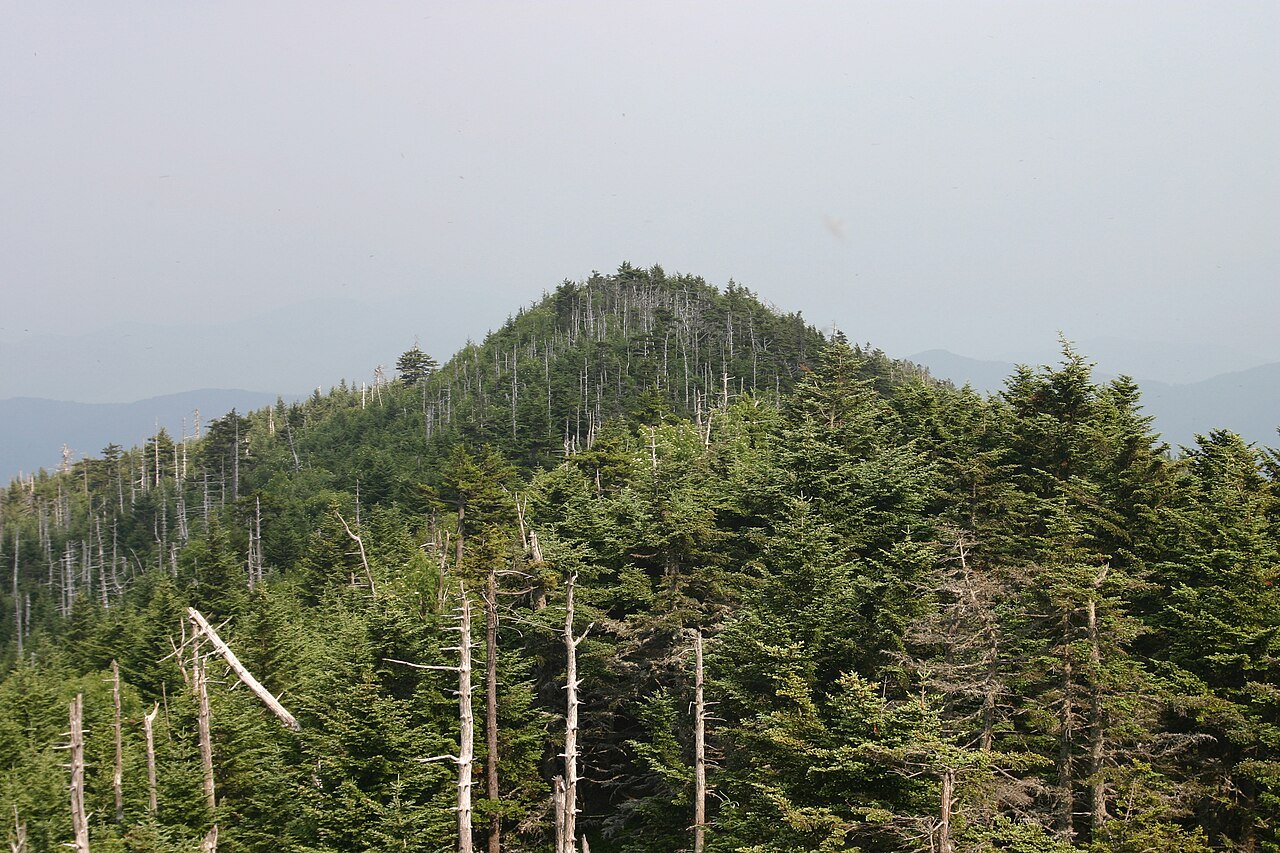
The summit carries a dense stand of southern Appalachian spruce-fir forest, a high cloud forest found only on a few peaks. Most of the mature Fraser firs were killed in the second half of the 20th century by the balsam woolly adelgid, an insect from overseas; acid rain and fog add stress. The gray trunks you pass on the way up are the result, and restoration groups are replanting red spruce.
The climate at the top is closer to southeastern Canada than to the South. The average temperature in January is below freezing, and the coldest temperature ever recorded in North Carolina, 34 degrees below zero Fahrenheit, was measured here on January 21, 1985. Heavy snow falls from December to March, fog is common, and the summit is often very windy.
How to visit
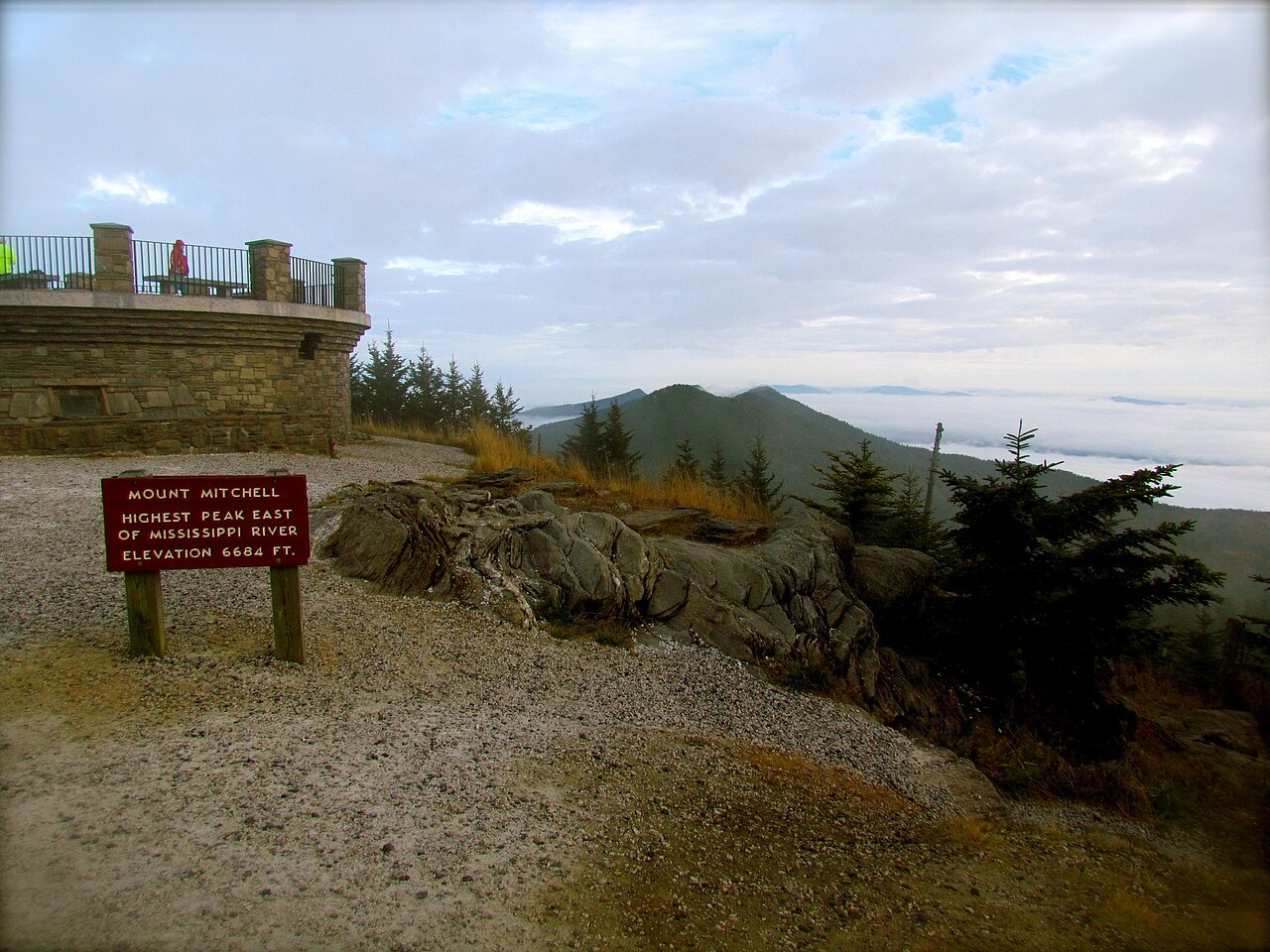
The park is reached only by NC 128, a spur of about five miles that leaves the Blue Ridge Parkway at milepost 355. That makes the Parkway's condition the park's condition: when Hurricane Helene damaged the road in September 2024, the park closed and stayed shut for nearly a year, reopening on September 15, 2025. Check the Parkway's road status, and the park's own, before you set out, especially from late fall into spring.
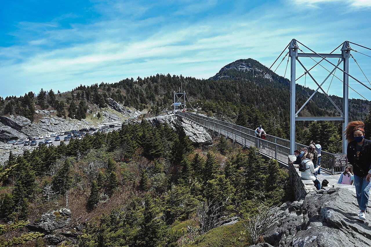
Bring a warm layer and rain gear in any month, and expect cloud on the summit even when the valleys are clear. The walk from the car to the platform is short but steep. Combine the visit with Grandfather Mountain or Craggy Gardens on the same stretch of the Parkway.
Nearby