ABOUT THIS SITE
About Access North Carolina
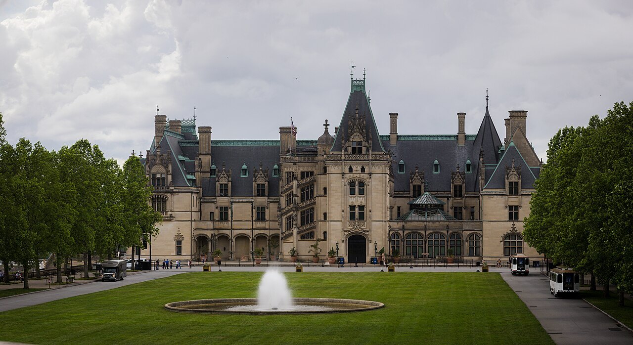
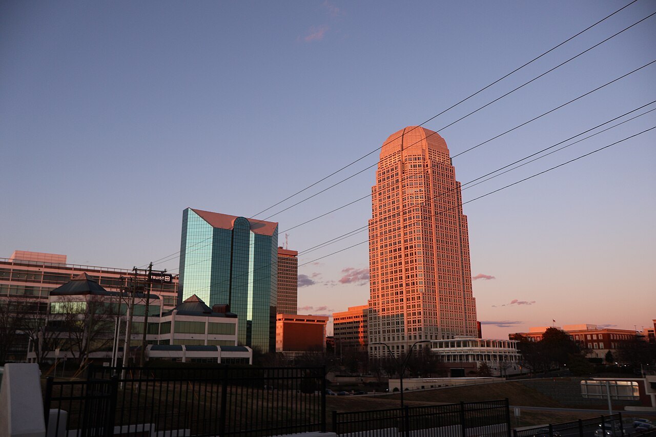
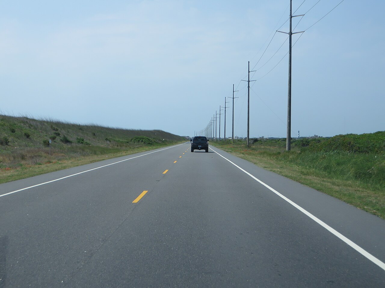
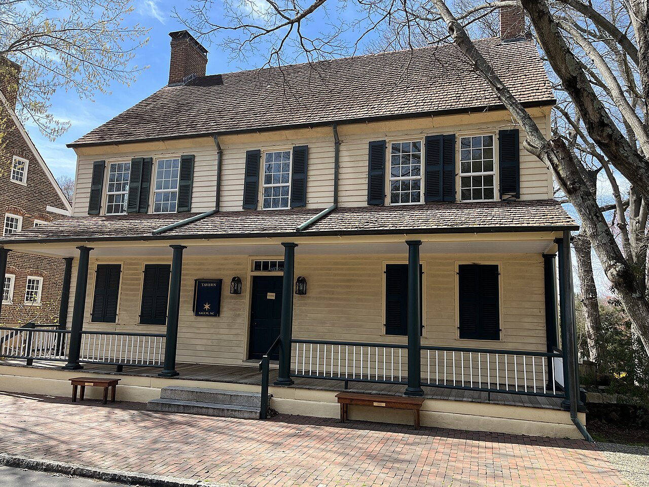
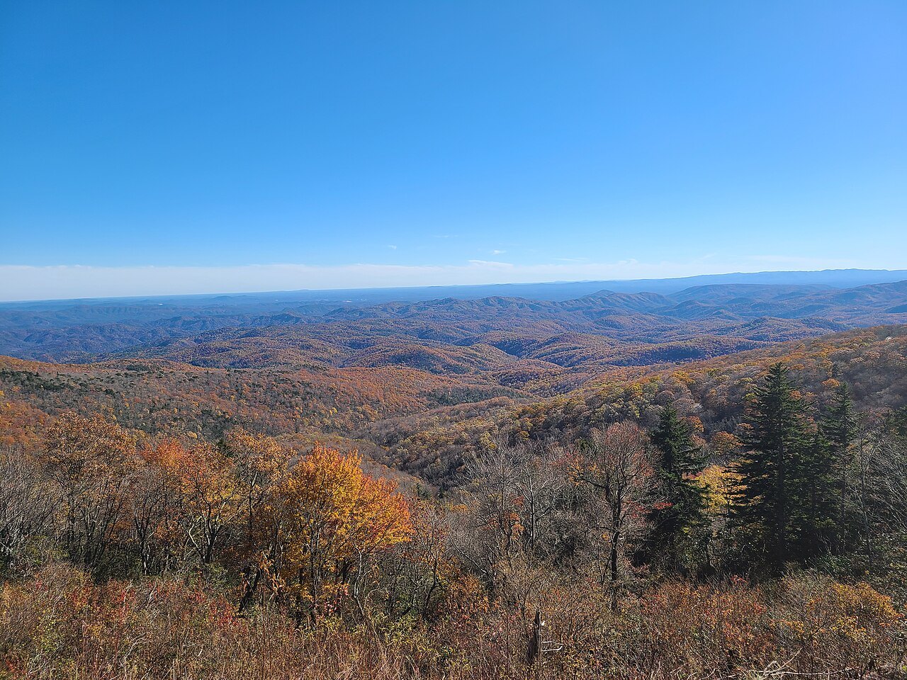
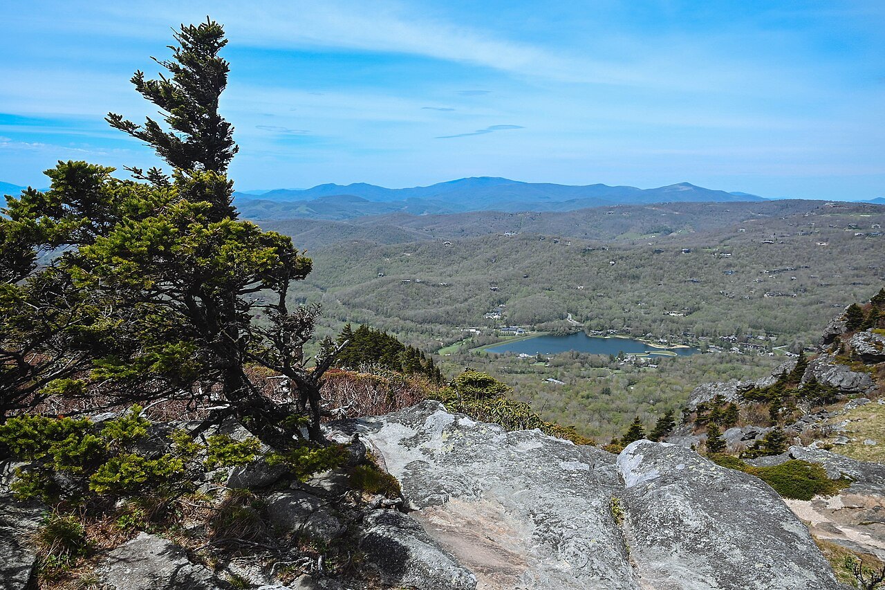
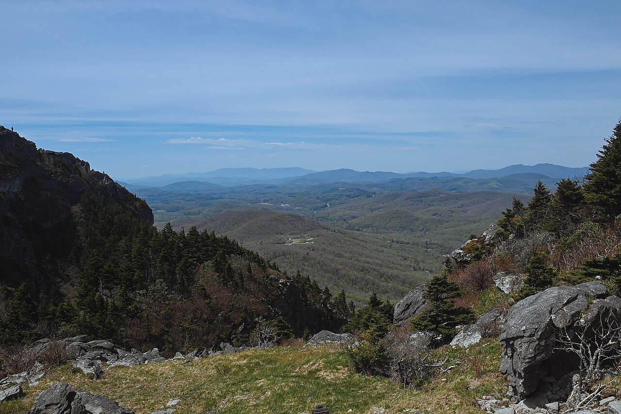
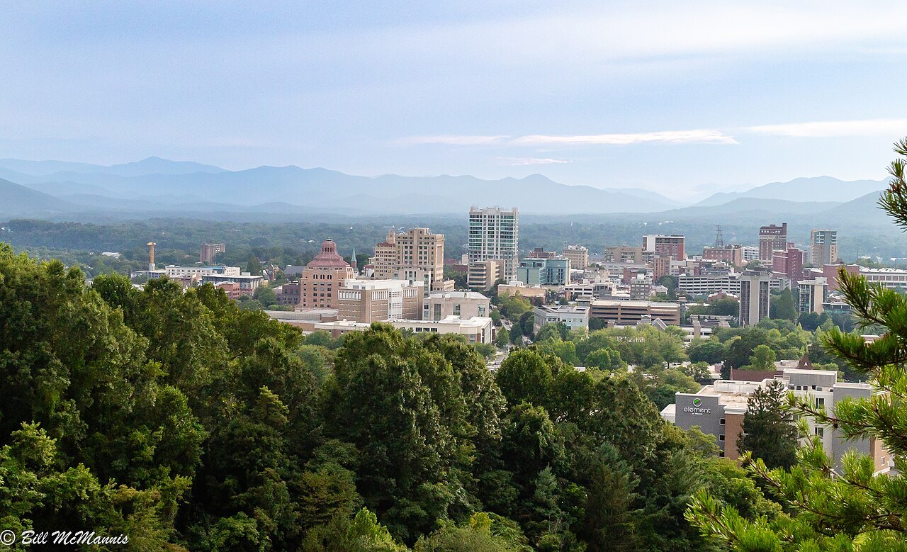
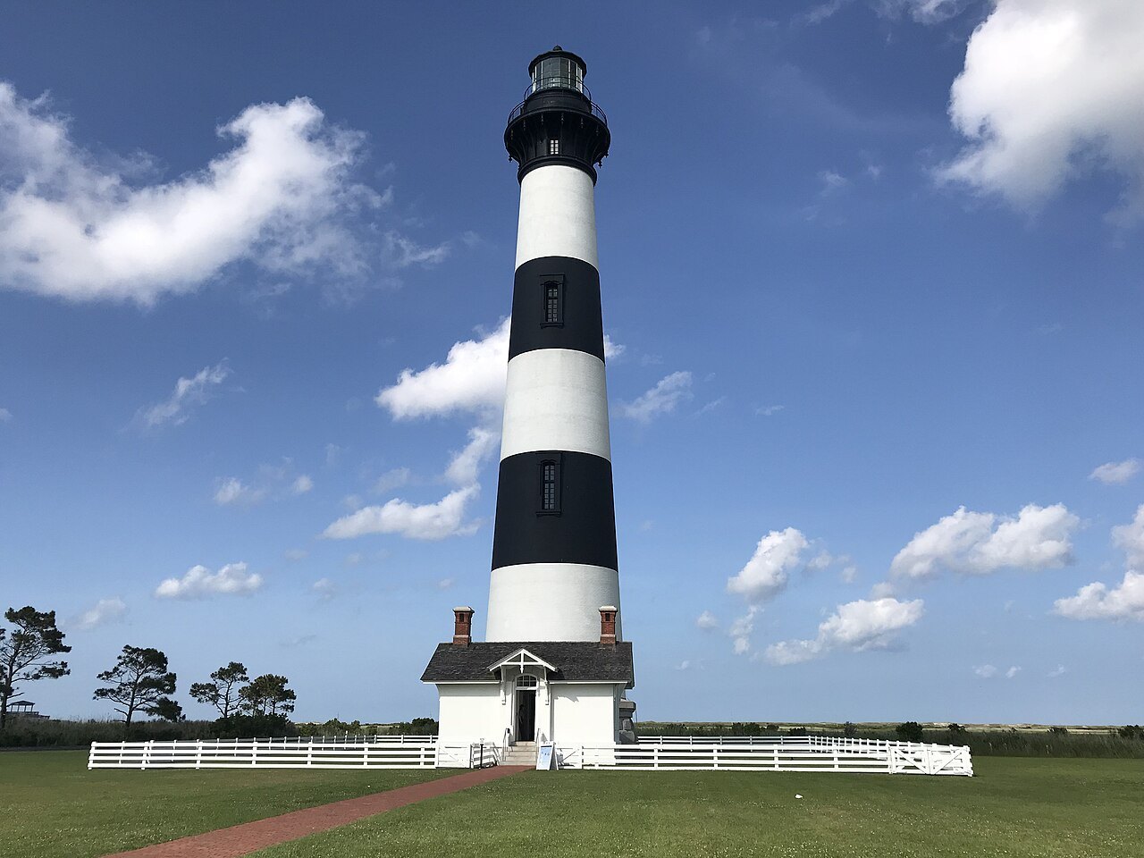
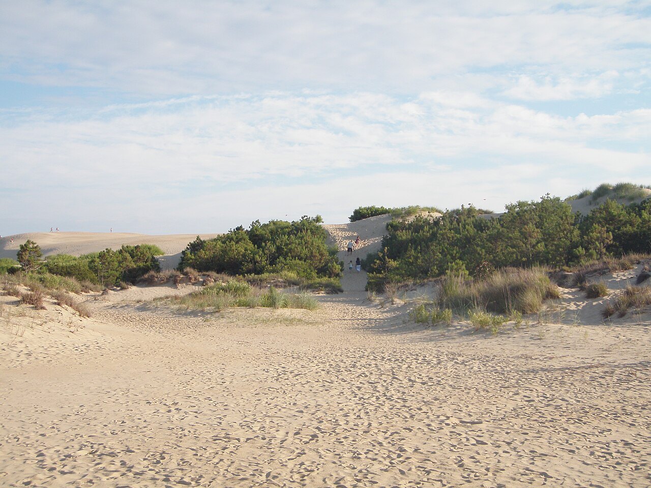
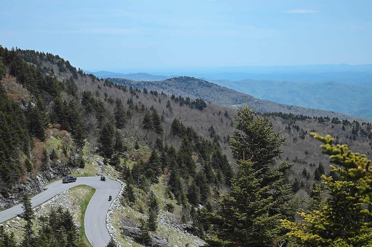
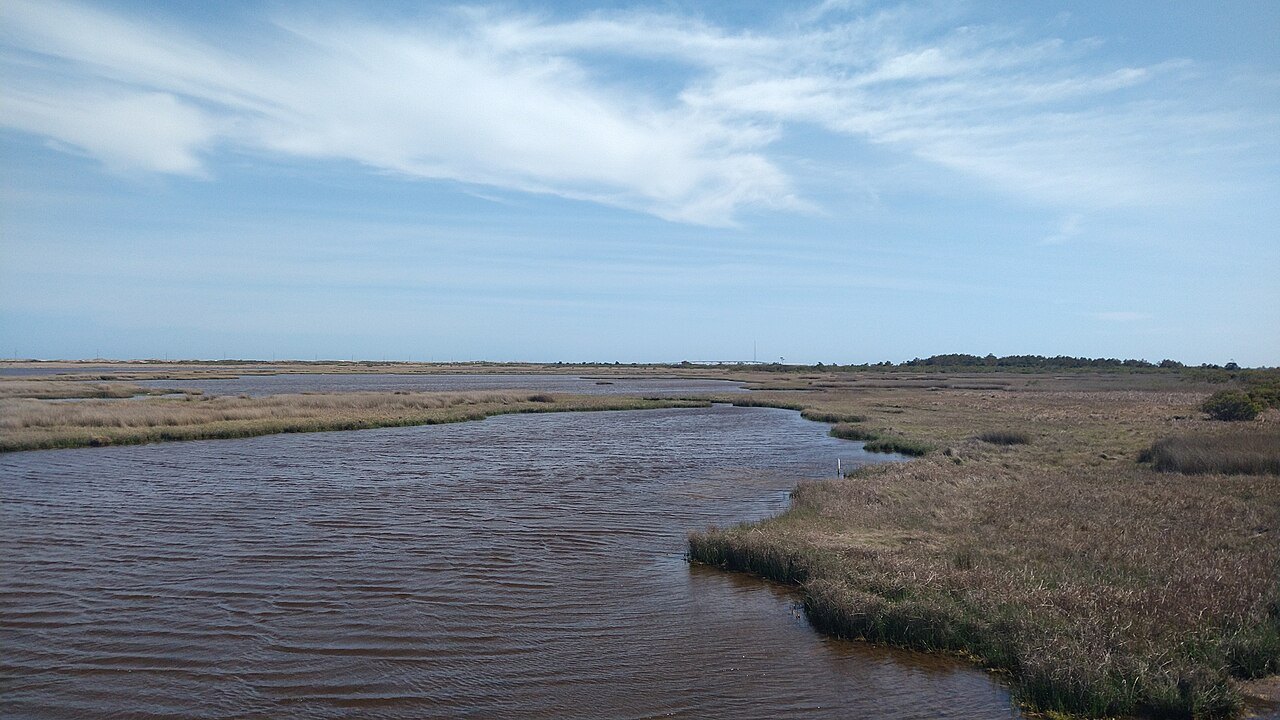
Photographs: Seasider53, Wikimedia Commons, CC BY-SA 4.0 · Bigmacthealmanac, Wikimedia Commons, CC BY-SA 4.0 · Maria Kozmina, Wikimedia Commons, CC BY-SA 4.0
Access North Carolina · About Access North Carolina
An independent guide to North Carolina for visitors: twenty-one landmarks from the mountains to the sea, eight cities and towns, and ten sections on how the state works when you travel it, from the Parkway's closures to the ferries of the Outer Banks.
What this site is
Twenty-one landmarks across North Carolina, one page each, eight city and town guides, and ten sections on the practical side of a visit: arriving by air, rail and road, driving the state, the ferries, the scenic drives, the seasons, what to eat, where to stay and how to put the days together into a road trip.
Every page tries to answer what a visitor actually needs: what a place is, what you see when you get there, how a visit works, what to combine it with, and where a well-known story is a legend rather than a fact.
It is not a listings site. There are no opening hours, admission prices or fares anywhere on it, because those change, and the operator is the only source that is right on the day you travel.
What North Carolina means here
This site keeps to the state of North Carolina, in its three regions: the Mountains, the Piedmont and the Coast. The Great Smoky Mountains are shared with Tennessee, and the pages here describe the North Carolina side, saying which side of the state line a place is on wherever that matters.
Many places share their names with others, and the photographs and facts here are checked for it: the Wilmington in Delaware, the Beaufort and the Greenville in South Carolina, the Durham in England, the Charlotte Amalie of the Virgin Islands and the many Carolinas in Puerto Rico are not the places this guide describes.
How it is written
Each page is built from sources that are named at the foot of it, and the facts in it, such as dates, heights, distances and who built what, are checked against those sources before the page is published. Where the sources disagree, the page says so or leaves the number out.
Access North Carolina is written and maintained with the assistance of AI, edited and fact-checked before publication. It is independent: it is not connected to the State of North Carolina, the National Park Service, the Eastern Band of Cherokee Indians, the ferry system or any museum, and it does not use their emblems or signs.
Cherokee history and culture are the living heritage of the Eastern Band of Cherokee Indians. Where these pages mention them, they point to the Eastern Band's own institutions, such as the Museum of the Cherokee People, rather than retelling what belongs to the Cherokee to tell.
The photographs
Every photograph comes from Wikimedia Commons and is credited on the page it appears on, with the photographer's name, the license and a link to the file.
They are chosen by looking at them: recent rather than archival, showing the place the page is about, and captioned from what is actually in the frame. Many files labeled Carolina, Wilmington or the Smokies show a place in another state, so each one is checked before it is used.
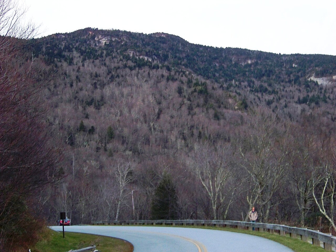
After Hurricane Helene
In September 2024 the remnants of Hurricane Helene devastated the mountains of western North Carolina. The pages about the mountains say what the storm did and point to the official sources for what has reopened, because the recovery is still going on and changes month by month.
What it costs you
Nothing. A few planning pages carry affiliate links, marked as such before the first one, and the privacy page explains what that means. No page about a landmark or a city carries one, and nothing on this site is recommended because of a commission. This site does not sell, book or reserve anything.