THE MOUNTAINS · THE RIVER OF MANY CLIFFS
Linville Falls and the Linville Gorge
Photographs: Fluxblocker, Wikimedia Commons, Public domain · P. Hughes, Wikimedia Commons, CC BY-SA 4.0 · Hemant bhor, Wikimedia Commons, CC BY-SA 4.0
The Mountains · landmark 5 of 21
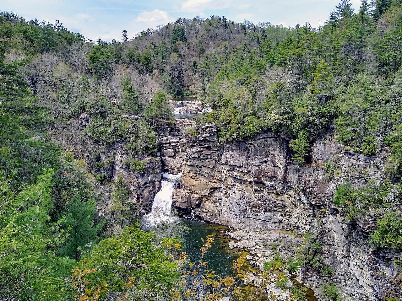
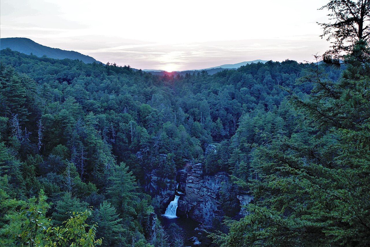
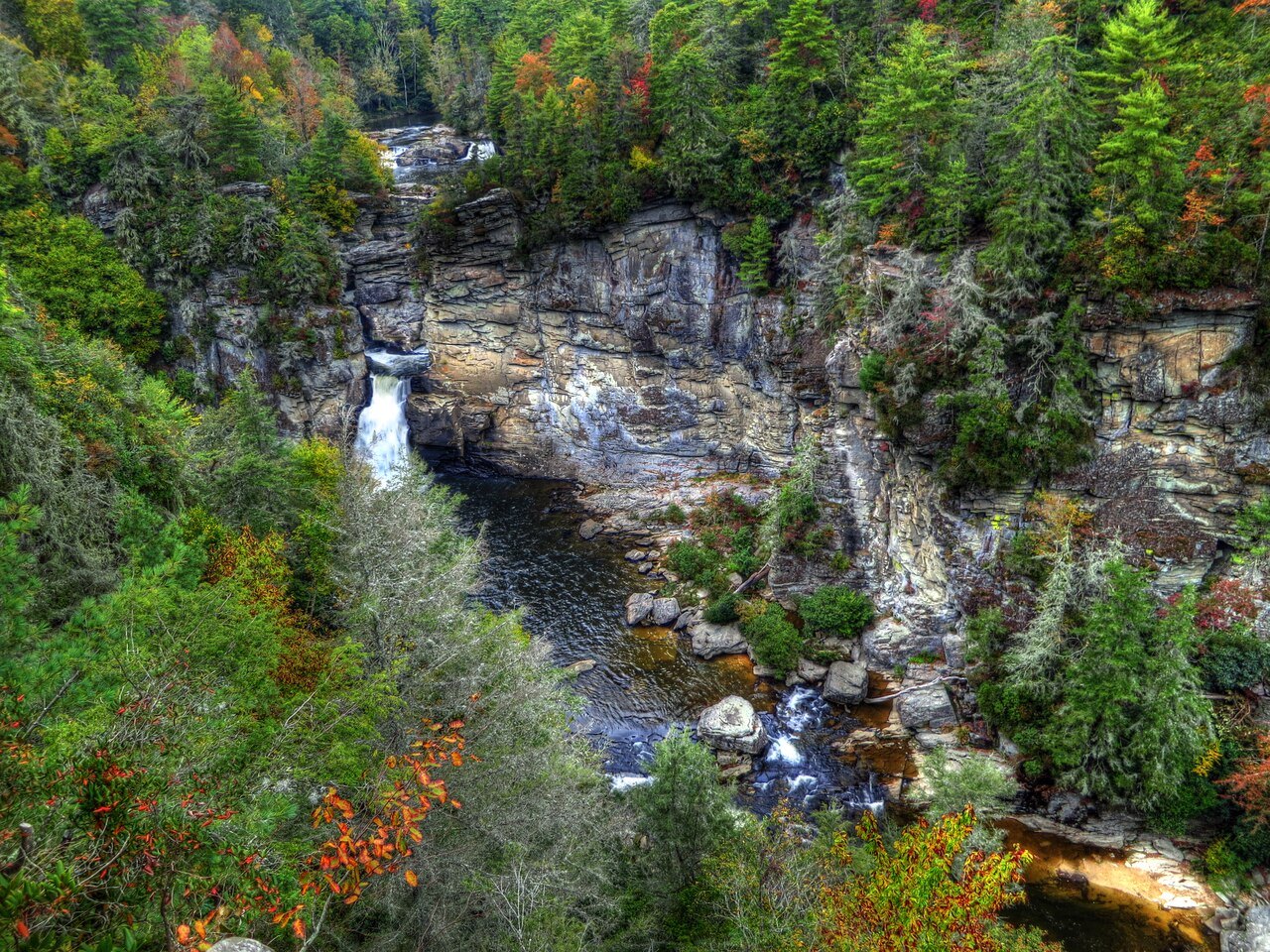
A river that steps over twin upper falls, spirals through a slot of rock and drops 45 feet into a pool, then runs on through the deepest wilderness gorge in the Southern mountains, a place the loggers could never reach.
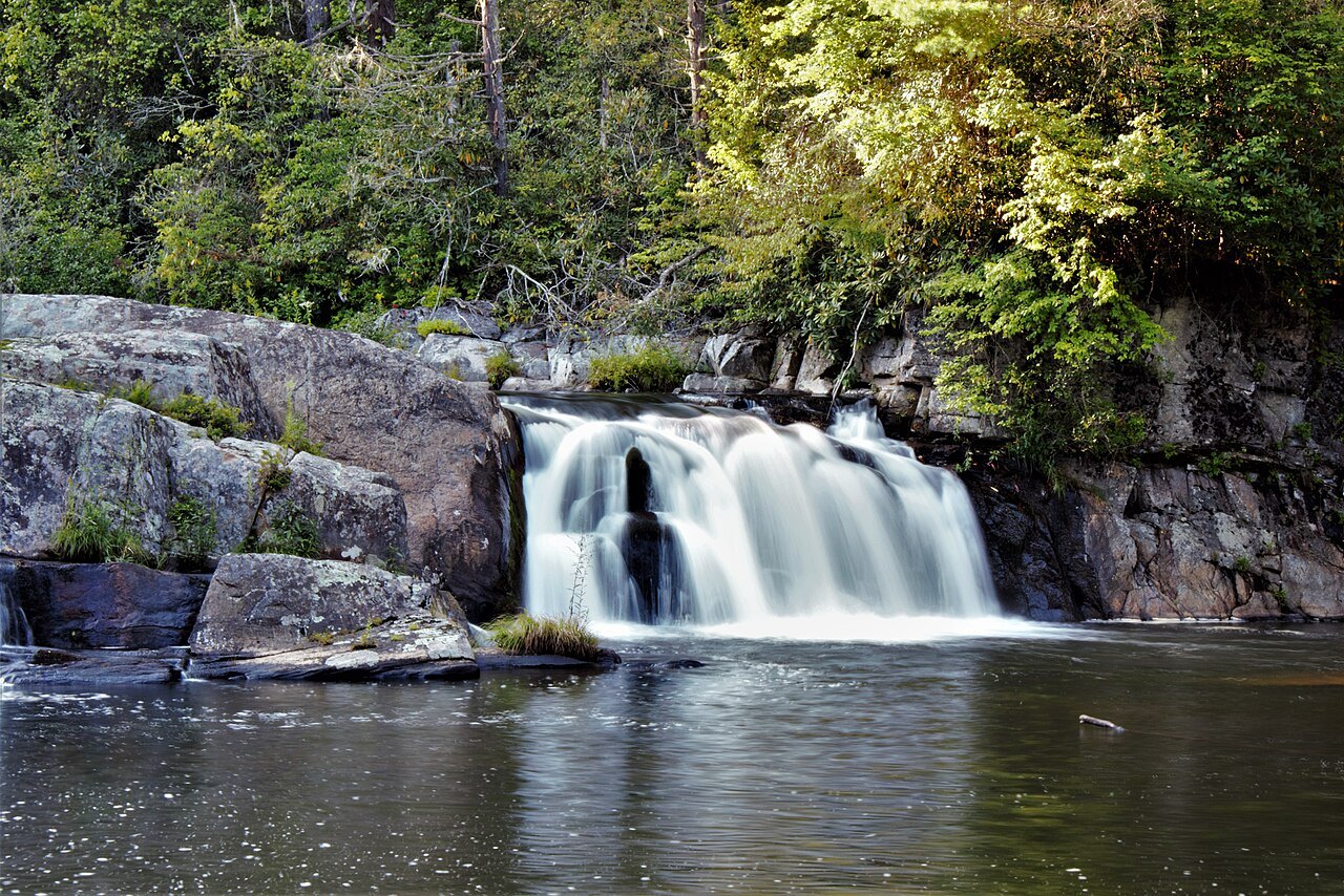
- The twin upper fallsTwo small falls at the top where the river begins its run through a narrow canyon.
- The main plungeA high-volume drop of 45 feet into a deep pool at the head of the gorge.
- Erwin's ViewThe farthest overlook on the east-side trail, looking back at the falls and down the gorge.
- Plunge Basin OverlookA view of the falls from the far side of the river.
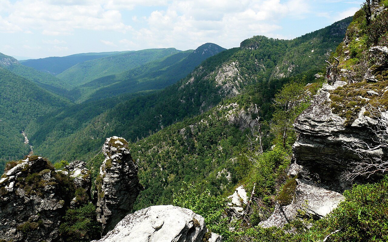
- Wiseman's ViewA rock outcrop near the middle of the gorge, looking into its interior.
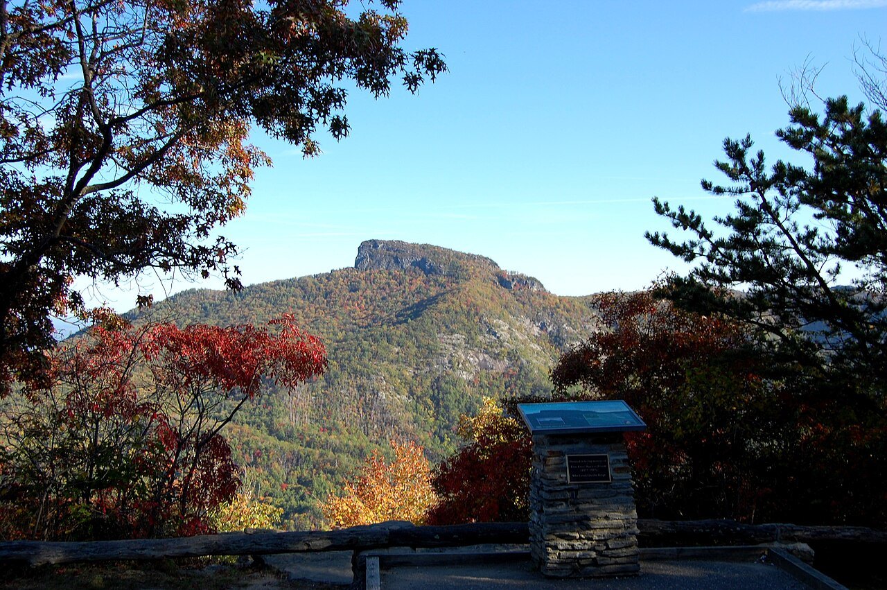
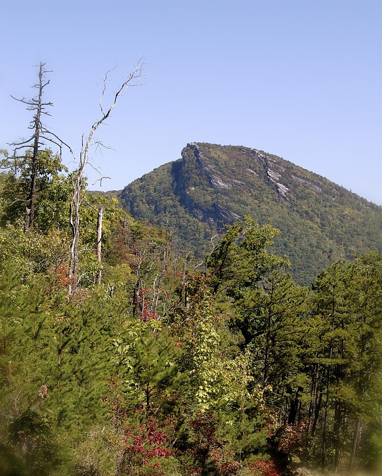
- Table Rock and HawksbillThe rock summits on the gorge's east rim, known for climbing and wide views.
Why it matters
Linville Falls is where the Linville River leaves the high plateau near Grandfather Mountain and begins to cut the Linville Gorge. The falls move in steps: a twin set of upper falls, a run through a small gorge, then a high-volume drop of 45 feet. No waterfall on the northern edge of the Blue Ridge carries more water.
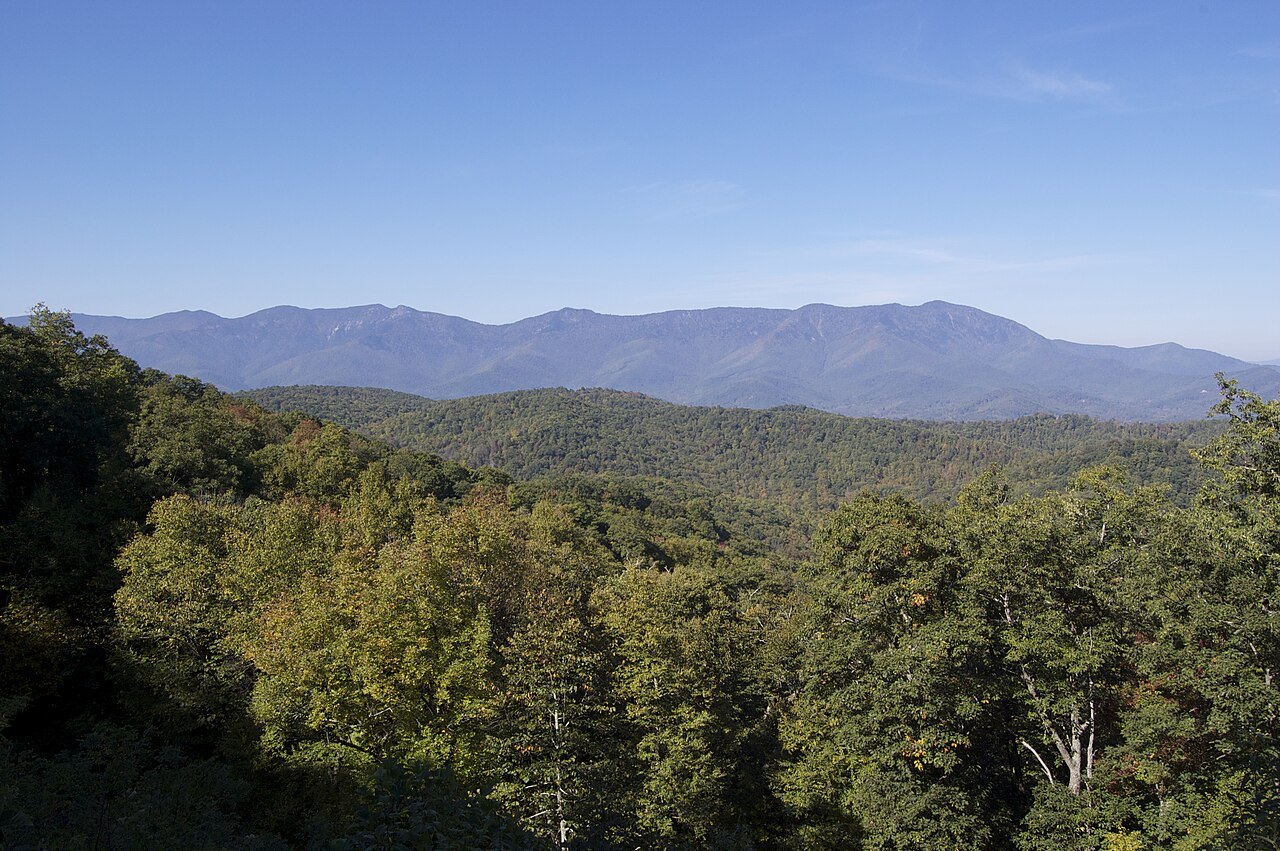
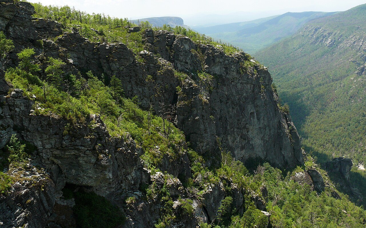
Below the falls, the Linville Gorge Wilderness has been called the Grand Canyon of North Carolina. It covers 11,786 acres of the Pisgah National Forest, with the river about 1,400 feet below the rim, and it is one of only two wilderness gorges in the Southern United States. The falls and their trails belong to the Blue Ridge Parkway; the gorge below belongs to the Forest Service.
The river of many cliffs
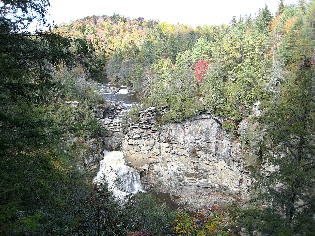
Before European settlement this was Cherokee country, and in Cherokee the river is Ee-see-oh, "river of many cliffs". Settlers named it for John and William Linville, explorers who were killed by the Shawnee in the gorge in 1766. The steep walls, the depth and the ridges on either side, Jonas Ridge to the east and Linville Mountain to the west, made settlement impractical through the 1800s and 1900s.
The main plunge was once split into two drops of similar height. Floods caused the upper section to collapse onto the lower one, which is why the lower falls are now a single, longer plunge into the pool.
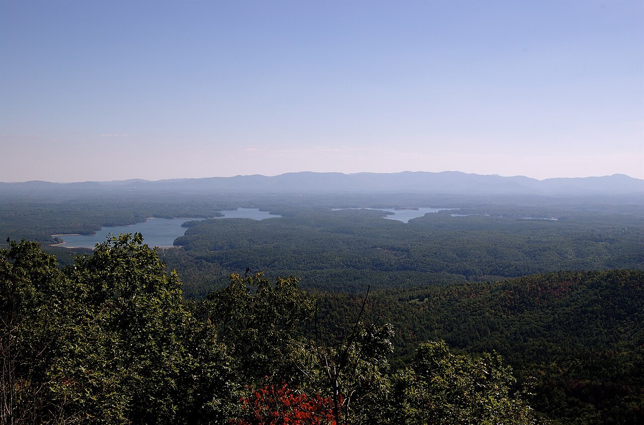
The forest the loggers missed
Early in the 20th century, logging stripped much of western North Carolina, but the gorge was too steep and too remote to be worth cutting. No industrial logging ever took place inside it, and its uncut forests cover some 10,000 acres, one of the few stands of old-growth forest left in the Blue Ridge. Of North Carolina's four major gorges, it is the only one with no road along the bottom.
In 1952 John D. Rockefeller Jr. provided the money to buy the falls and some 1,100 acres around them, part of the gorge included, and gave them to the National Park Service. When the Wilderness Act was signed in 1964, the Linville Gorge Wilderness became one of the first areas designated under it.
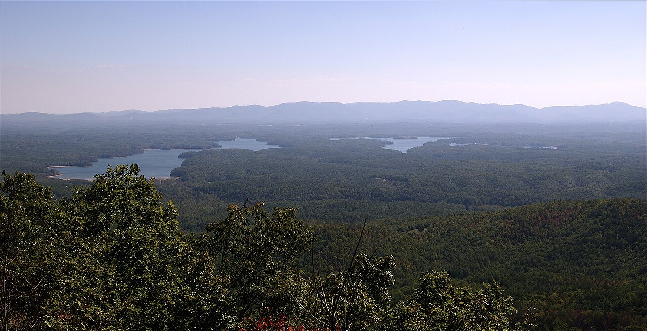
The forest is dense hardwood and pine, and its wildlife includes bear, fox, raccoon, wild turkey, owls, hawks and trout in the river.
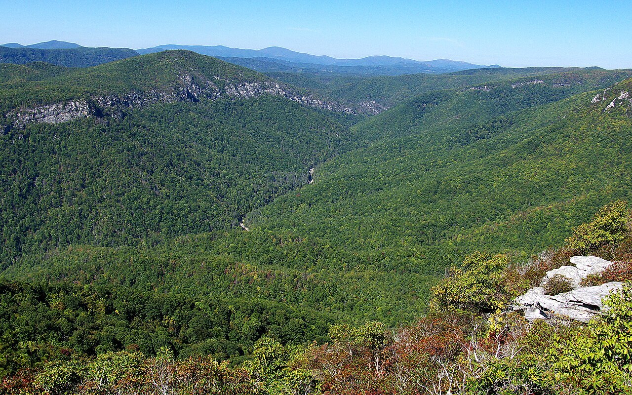
What you see from the trails
The Park Service runs a visitor center by the falls and several miles of trail with four overlooks. The Upper Falls Trail runs about half a mile to the top of the falls, where you see the twin upper falls and the water spiraling through its narrow canyon toward the main drop. The Erwin's View Trail continues to two more overlooks, Chimney View and, a little farther, Erwin's View, which looks back at the falls and down the gorge.
The Plunge Basin Trail, also about half a mile, leads to an overlook that faces the falls from the other side of the river, and the Gorge Trail branches off it and descends to an area near the foot of the falls, the only place to look up at the plunge from below. None of the trails is wheelchair accessible.
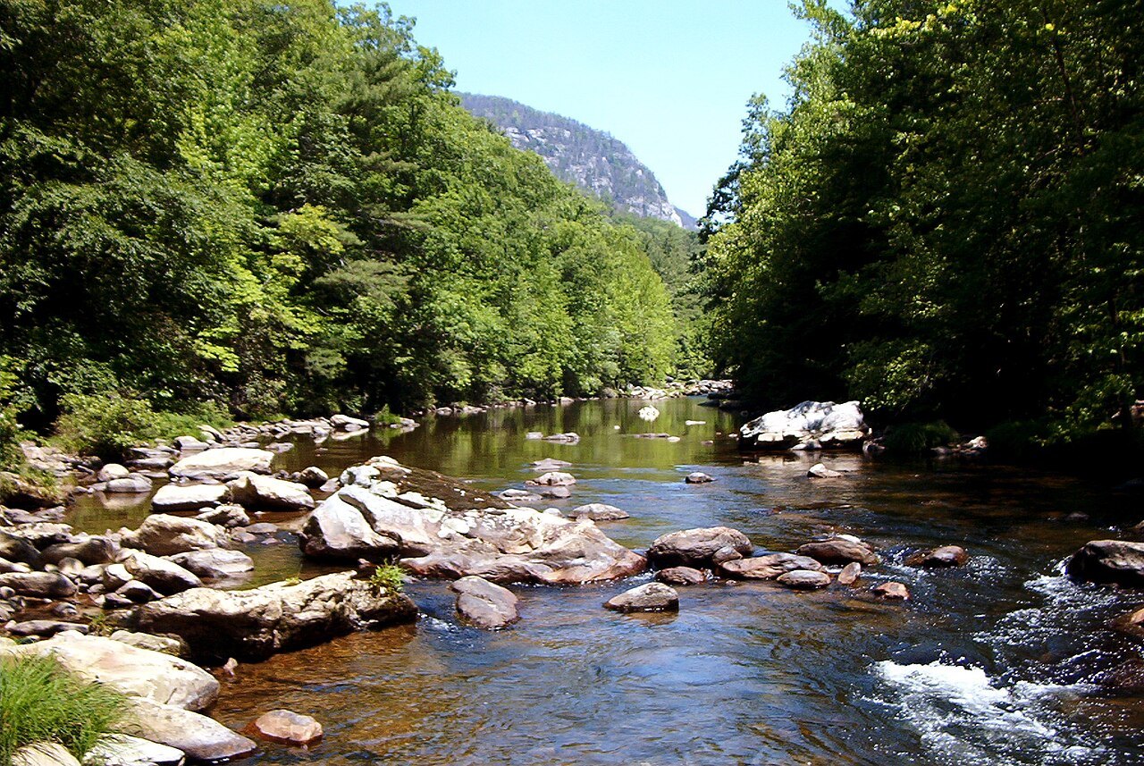
A short trail from the back corner of the visitor center parking lot leads to Duggers Creek Falls, a small fall seen from a footbridge.
Into the gorge
Hiking the gorge itself is a different undertaking. Because it is designated wilderness, its trails are not the graded, well-marked paths of a state or national park, and the climb back out is long and steep. The Forest Service's Grandfather Ranger District manages camping: groups are limited to ten people, and free permits are needed on weekends and holidays from May 1 to October 31, for no more than three days and two nights at a time.
From the rim roads, Wiseman's View gives a view into the interior without the descent. Rock climbing is allowed, with some cliffs closed while peregrine falcons nest; Table Rock, Hawksbill Mountain, Shortoff Mountain and the Chimneys are the known climbing areas.
The Linville River is stocked with brown, brook and rainbow trout, but reaching the water inside the gorge means a long hike down and a harder one back, so most anglers fish the river above and below the wilderness section instead.
A rescue at the pool
The pool under the falls is deep, and the river runs fast above it. On August 30, 1928, a young woman fell into the Linville River, was carried 300 feet through swift water and over a 30-foot drop into a pool 45 feet deep. A 23-year-old beekeeper, Charles W. Davis, climbed down the rock ledges, swam fully clothed through rough water against an undercurrent pulling toward the falls, and brought her to the bank, where she was revived. The Carnegie Hero Fund recorded his rescue. It is a good reason to keep to the overlooks.
How to visit
The falls are reached from the Linville Falls Recreation Area near milepost 316 of the Parkway, a short drive south of the viaduct, and seeing them is free. Walk the Upper Falls and Erwin's View trails first, then return to the visitor center for the Plunge Basin and Gorge trails; together they cover the four overlooks.
Swimming is not allowed in any Blue Ridge Parkway waters, the upper falls included. Stay behind the railings at the overlooks. Parkway closures, in winter and after storms, can shut the road to the recreation area, so check the Park Service's road status before you drive. Linville Caverns, a private cave attraction, lies nearby on US 221, and Mount Mitchell is farther south on the Parkway.
Nearby