THE MOUNTAINS · OCONALUFTEE TO KUWOHI
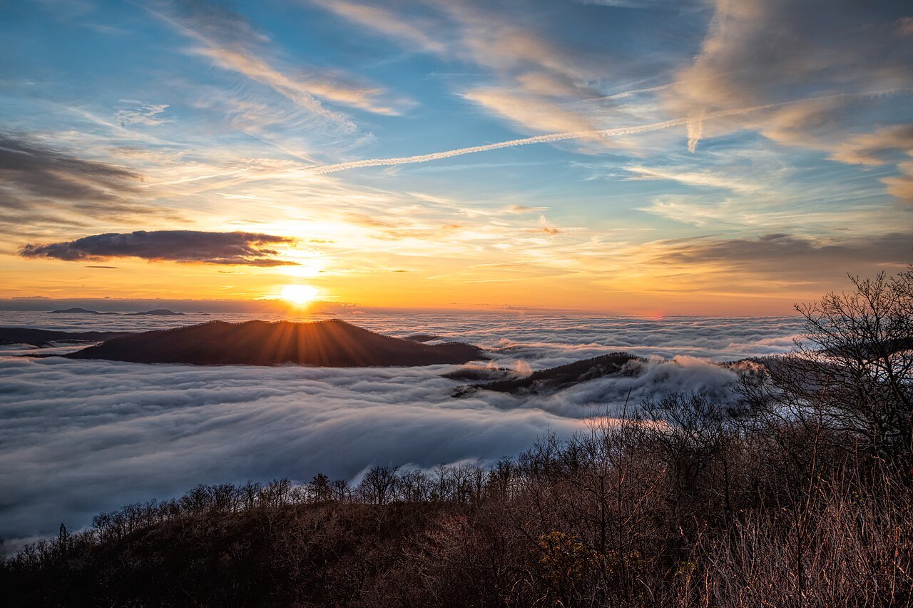
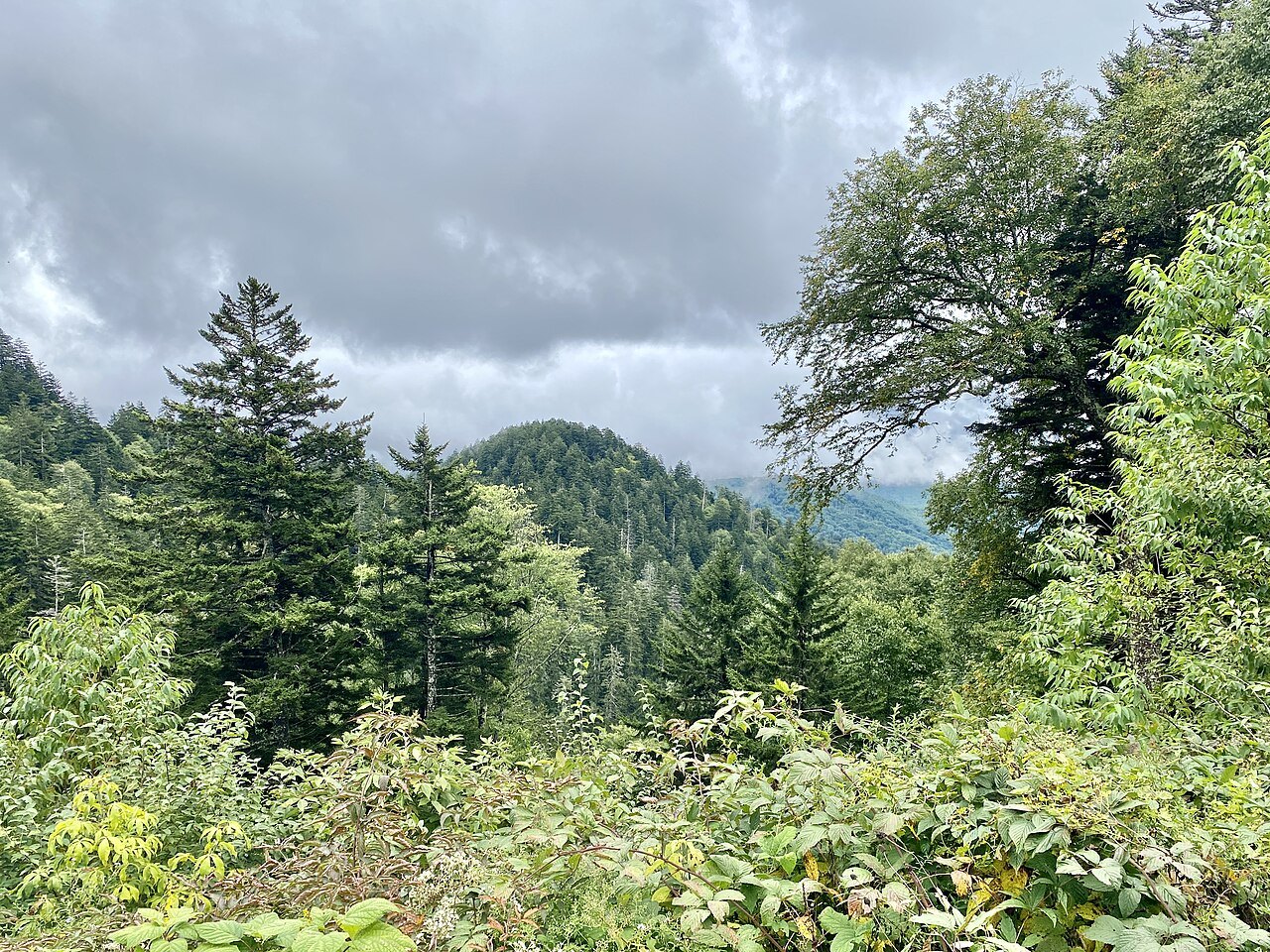
The Great Smokies from the North Carolina side
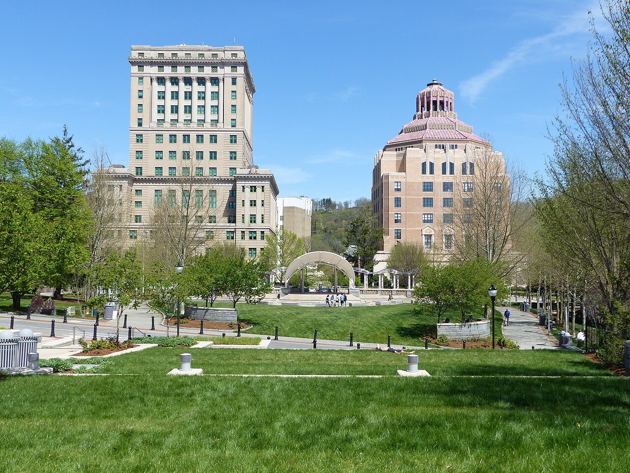
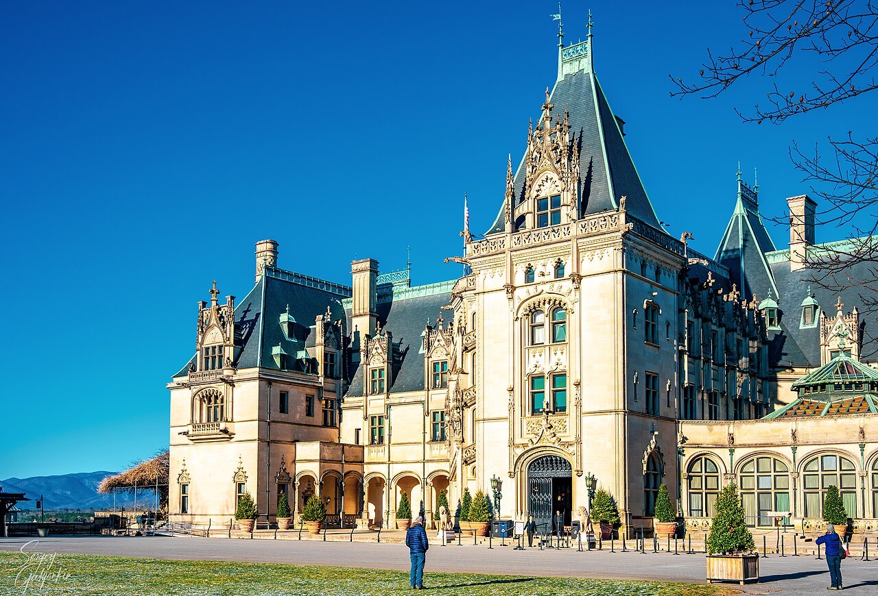
Photographs: w_lemay, Wikimedia Commons, CC BY-SA 2.0 · Missvain, Wikimedia Commons, CC BY 4.0 · Bmcates72, Wikimedia Commons, CC BY-SA 4.0
The Mountains · landmark 2 of 21
North Carolina's door into the most visited national park in the country is the Oconaluftee valley, beside Cherokee: a river, a working mill, a farm of old log buildings, and a road that climbs to Newfound Gap and on to Kuwohi, the summit on the state line.
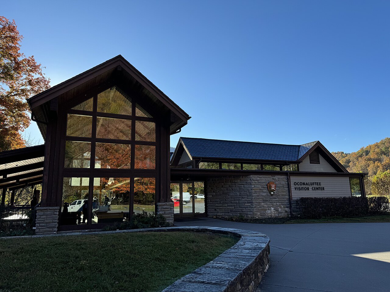
- Oconaluftee Visitor CenterNorth Carolina's main entrance to the park, beside the river where the Blue Ridge Parkway ends.
- Mountain Farm MuseumLog buildings gathered from around the park to show a pioneer mountain farm, with gardens in season.
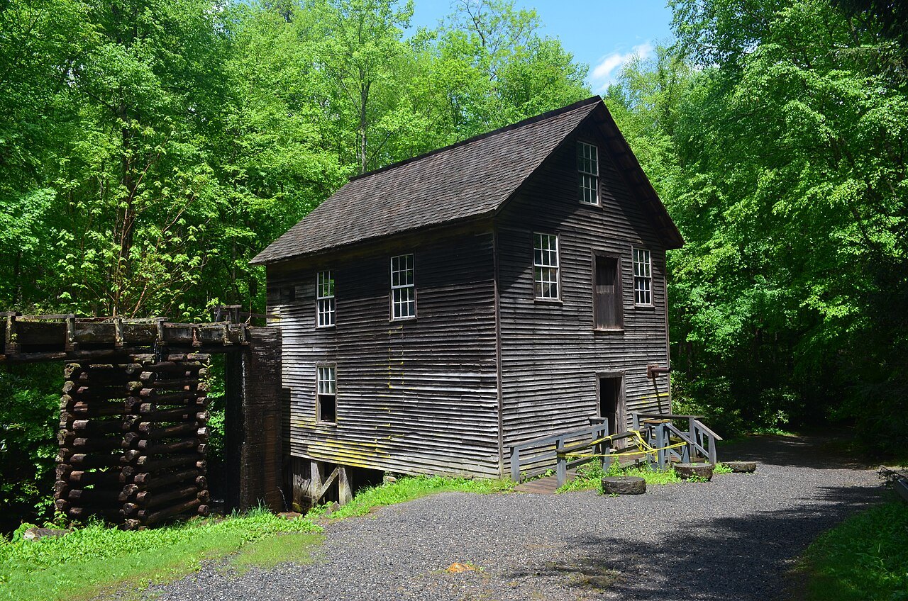
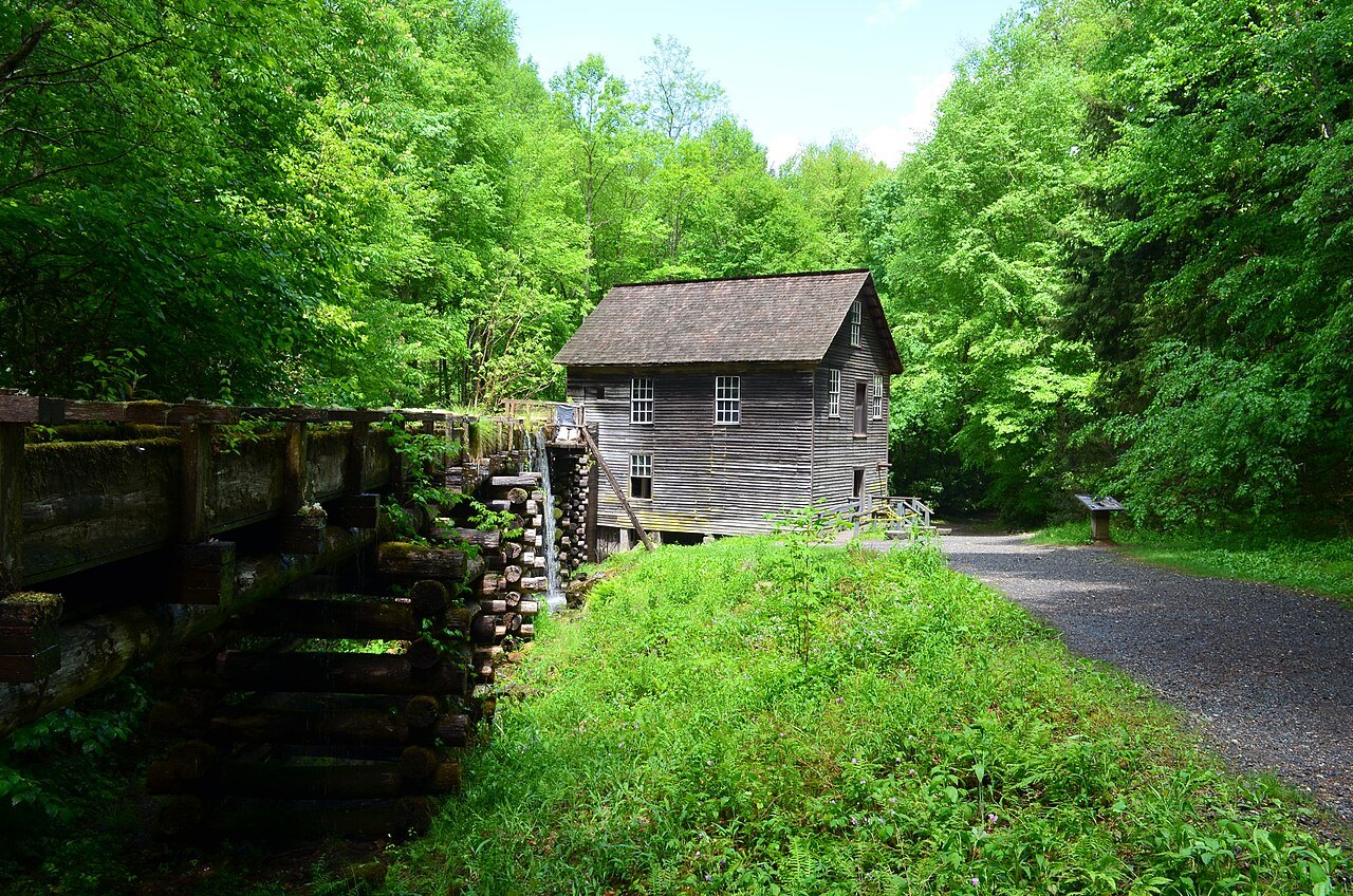
- Mingus MillA turbine-driven gristmill of 1886 on Mingus Creek, restored in 1937 and still grinding.
- Newfound GapThe pass at 5,048 feet where the state line, the Appalachian Trail and US 441 all cross.
- KuwohiThe highest point in the park at 6,643 feet, with a concrete observation tower of 1959.
- SmokemontA former logging camp on the river, now the park's large campground on this side.
Why it matters
Great Smoky Mountains National Park had more than 11 million visitors in 2025, the most of any national park in the United States. The park straddles the crest of the Smokies, and the state line between North Carolina and Tennessee runs along that crest. Most guidebooks start on the Tennessee side, at Gatlinburg; this page starts at the other door.
On the North Carolina side the entrance is the Oconaluftee, the valley of the Oconaluftee River. It was once the site of a Cherokee village and later an Appalachian farming community, and it is now the park's main entrance from North Carolina. It sits next to the Qualla Boundary, the home of the Eastern Band of Cherokee Indians, and at the valley's southern tip the Blue Ridge Parkway ends.
A river the Cherokee knew
The name Oconaluftee comes from the Cherokee village name Egwanulti, which means "by the river". The naturalist John Bartram recorded it in 1775. An archaeological survey found a Cherokee settlement along the river just inside the present park, the only known permanent Cherokee settlement within its boundaries; it was probably destroyed in 1776 by General Griffith Rutherford's army during the Revolution.
The Cherokee considered the waters of the Oconaluftee sacred. A woman who lived near Smokemont around 1900 recalled her Cherokee neighbors' account of a deep part of the river where wounded animals came to heal. The valley is part of the Oconaluftee Archaeological District, listed on the National Register of Historic Places in 1982.
Settlers, loggers and the park
John Jacob Mingus arrived in the 1790s, the first Euro-American settler in the valley and the first inside what is now the park. Abraham Enloe settled downstream; in 1831 he and William Holland Thomas, who was adopted by the Cherokee peace chief Yonaguska, formed a company that widened the old Indian Gap Trail to the crest.
In the late 19th century the band saw and the logging railroad reached the Smokies. Lumber companies based at Smokemont cut much of the valley before the park commission bought the land in the 1930s, and a fire in 1925 swept over the slash left behind. A Civilian Conservation Corps camp at Smokemont then built roads and trails, and President Franklin D. Roosevelt dedicated the park at Newfound Gap on September 2, 1940.
What you see: the mill and the farm
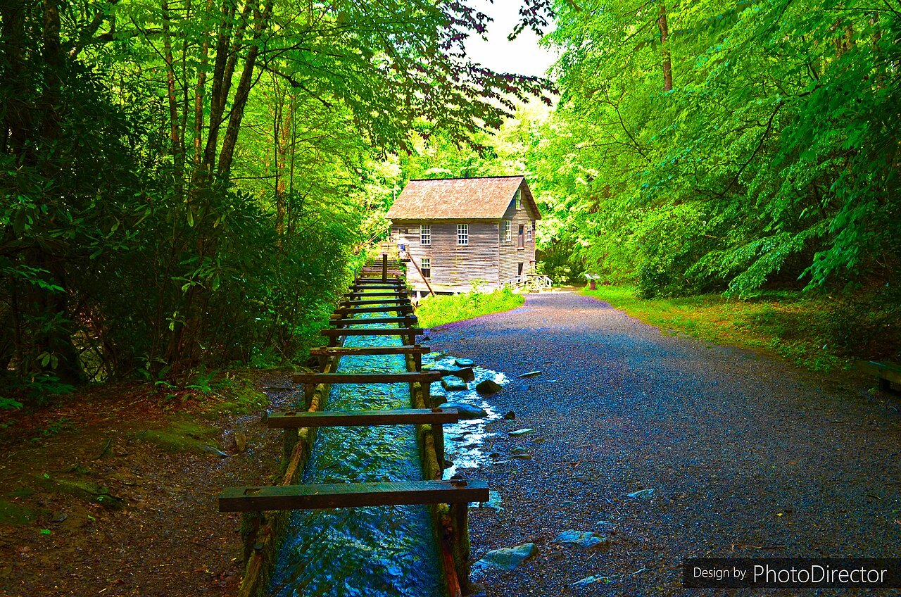
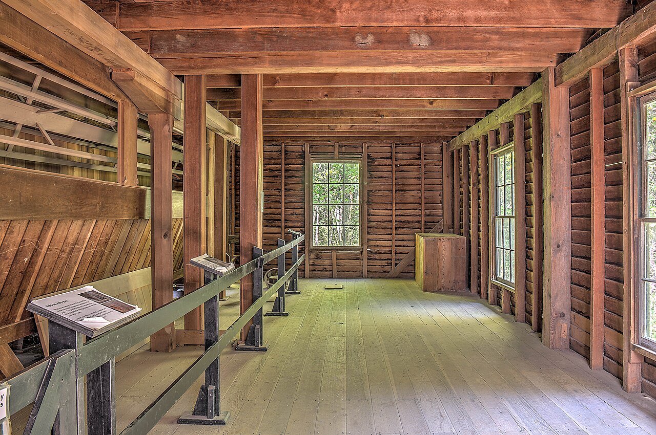
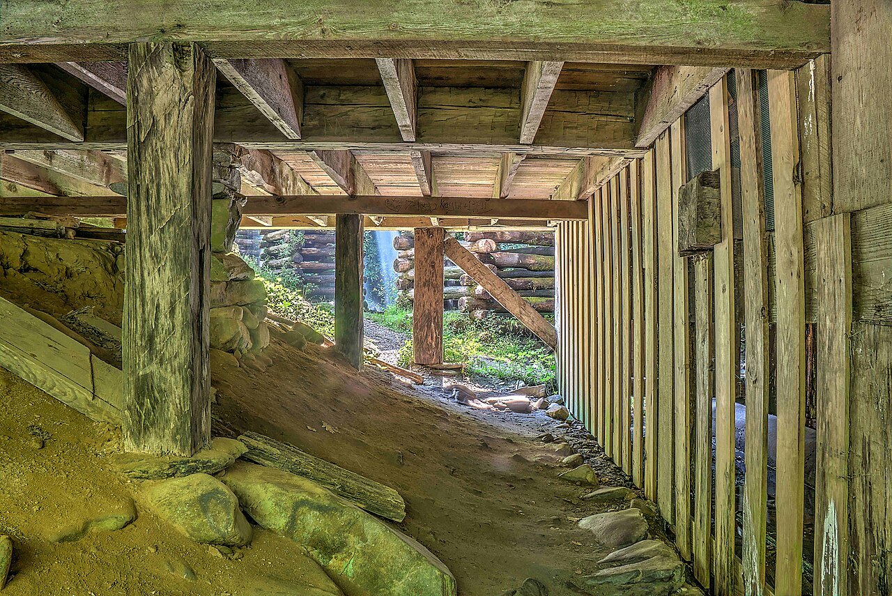
Mingus Mill stands on Mingus Creek, a short drive north of the visitor center. It was built in 1886 by the millwright Sion Thomas Early for John Mingus, a son of the first settler, and it ran commercially until the Park Service bought it in 1934. Water diverted from the creek runs down a wooden flume to two turbines instead of an overshot wheel; an iron shaft drives the grindstones on the ground floor, and a grain cleaner and a bolting chest upstairs sift the flour into grades.
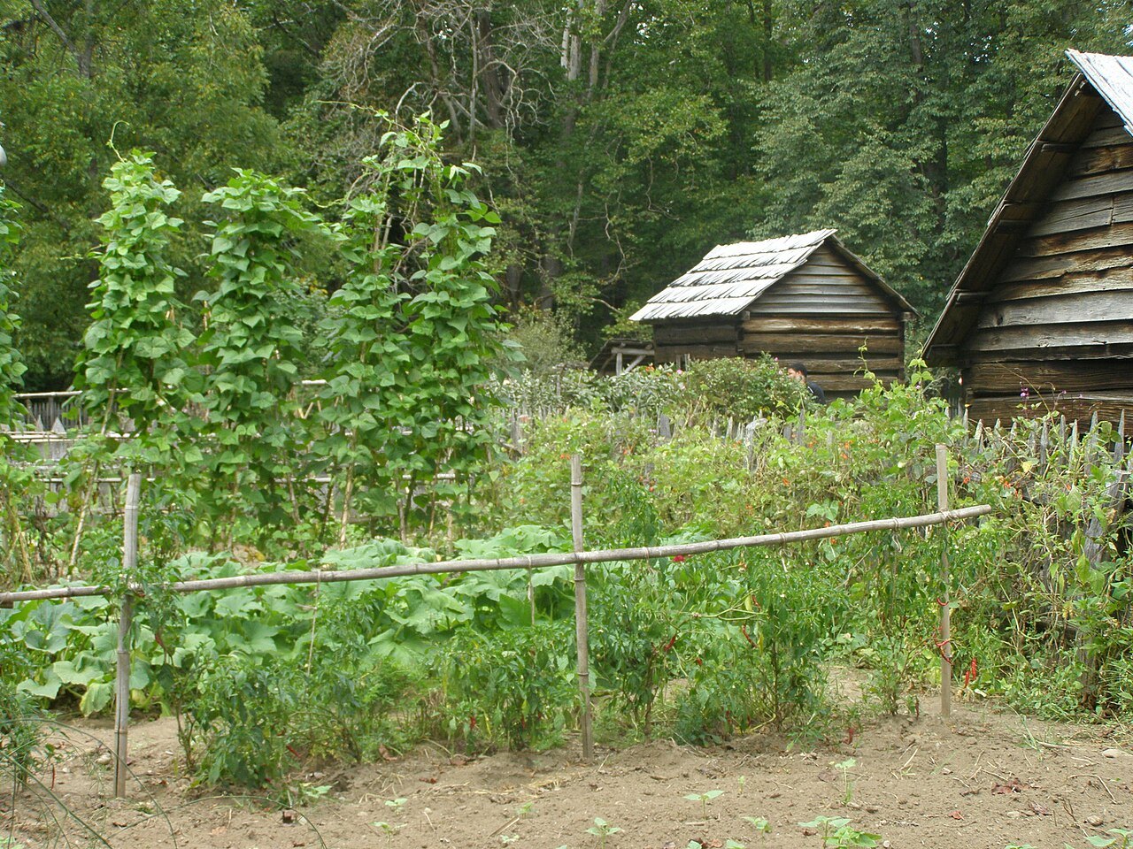
The Mountain Farm Museum, beside the visitor center, is a collection of log buildings brought together in the 1950s to show a pioneer farm. The John Davis Cabin of 1900 was built of chestnut logs with dovetail notches; the large Enloe Barn, built around 1880, is the only building that stood in the valley already, moved about 200 yards. Gardens are planted in spring and summer.
The visitor center itself was rebuilt in 2011, paid for by donations to two nonprofit groups; the stone-and-log original of 1940 went back to office use.
Up the road to Newfound Gap
US 441, called Newfound Gap Road inside the park, climbs north from Oconaluftee past Smokemont to the crest. Newfound Gap, at 5,048 feet, is where the state line, the road and the Appalachian Trail all cross, and the Rockefeller Memorial stands there. Arnold Guyot showed in 1872 that it was lower and easier than the older Indian Gap, two miles away.
The gap averages around 19 snowy days a year. The road is kept open in winter except during and just after storms; only plows and a gravel-sand mix are used, so after heavy snow it can stay closed for hours even when the valley at Cherokee is clear.
Kuwohi, on the line
Just past Newfound Gap, a seven-mile road climbs along the crest to a parking area 330 feet below the summit of Kuwohi. Its Cherokee name means "mulberry place"; the United States made it the official name again on September 18, 2024, after the tribal council of the Eastern Band applied for the change, replacing Clingmans Dome. At 6,643 feet it is the highest point in the park and on the whole 2,192-mile Appalachian Trail, and the summit sits on the state line.
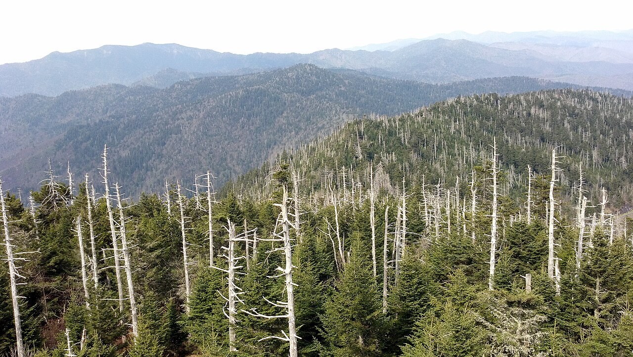
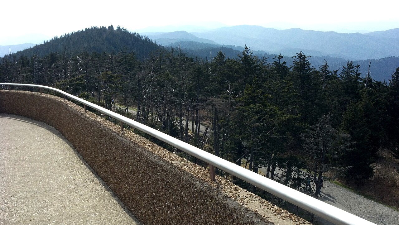
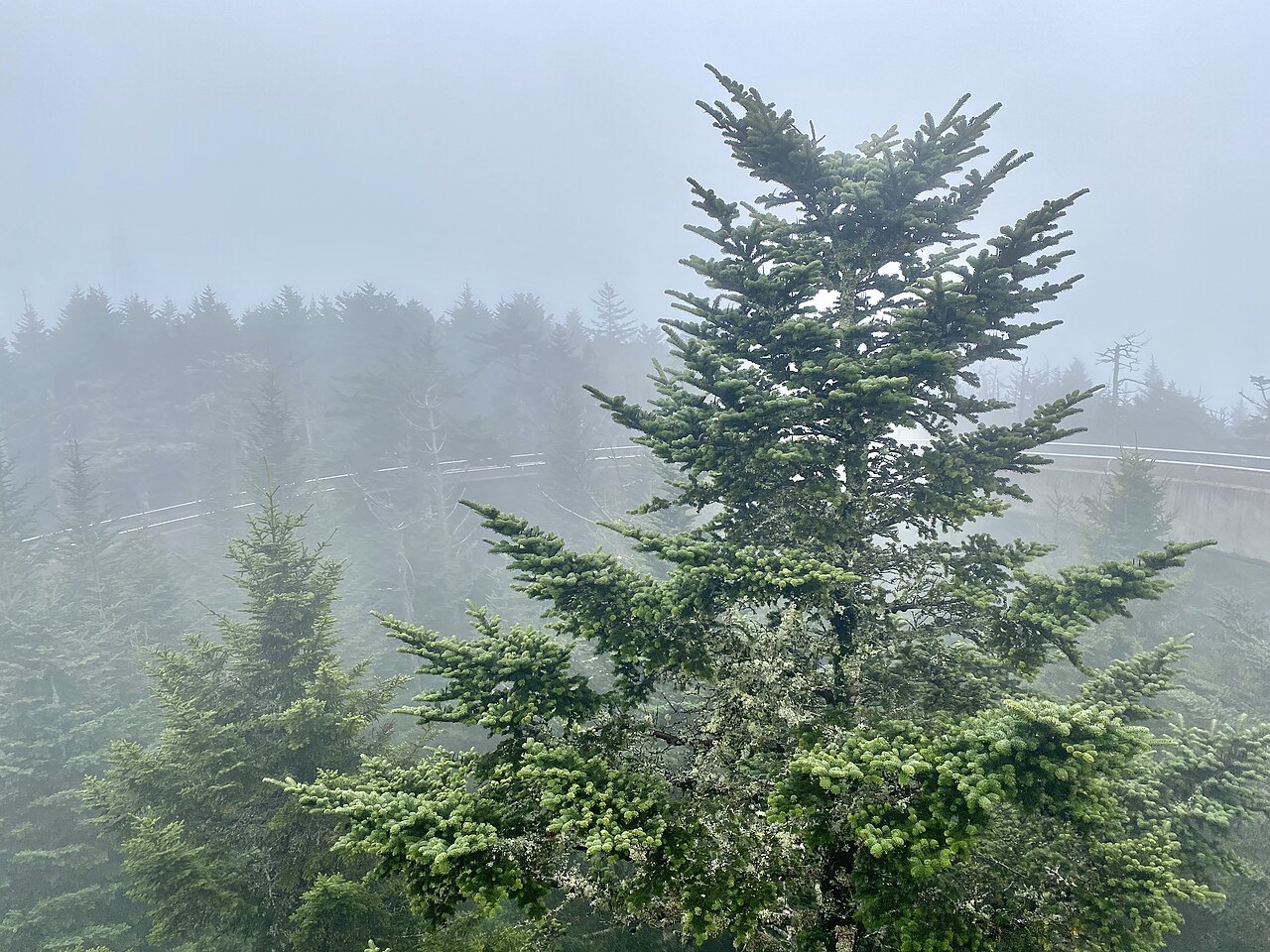
A half-mile paved trail climbs steeply through spruce-fir forest to a concrete observation tower of 1959, reached by a spiral ramp 375 feet long. On a clear day the view reaches about 100 miles; in haze, about 20. The forest on the way shows the blowdowns and dead Fraser firs of the high Appalachians.
How to visit
Start at the Oconaluftee Visitor Center, walk the Mountain Farm Museum beside it, then drive a few minutes north to Mingus Mill. Allow half a day for the valley. The drive up to Newfound Gap and on to the Kuwohi parking area is a separate outing, and the Kuwohi road opens each year on April 1 and closes after November 30; in winter the summit is reached only on foot along the Appalachian Trail.
Check the park's road status before you go, especially from November to April, and carry a layer: the crest is far colder and windier than Cherokee. The nearest towns with beds are Cherokee, Bryson City and Waynesville, and Asheville lies to the east along the interstate.
Nearby