Hatteras to Ocracoke
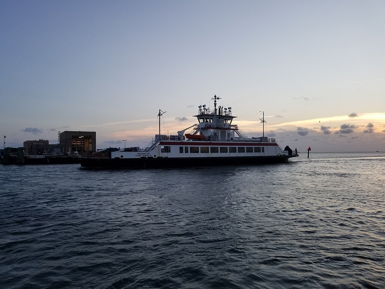
The busiest route in the system, across Hatteras Inlet on NC 12, about an hour. The way most visitors reach Ocracoke.
PLANNING · FERRIES
Photographs: Myoder006, Wikimedia Commons, CC BY-SA 4.0 · DiscoA340, Wikimedia Commons, CC BY-SA 4.0 · DiscoA340, Wikimedia Commons, CC BY-SA 4.0
Access North Carolina · On the water
Where the roads of the coast run out of land, the state keeps them going by boat: seven ferry routes across the sounds, the inlets and the rivers, with NC 12 continuing by water from Hatteras to Ocracoke and on to the mainland, and private boats to the wild islands of Cape Lookout.
The busiest route in the system, across Hatteras Inlet on NC 12, about an hour. The way most visitors reach Ocracoke.
A long crossing of Pamlico Sound linking NC 12 to the mainland near Atlantic, for the drive south to Beaufort. A toll route.
Across Pamlico Sound to the Hyde County seat on the mainland, the newest route in the system. A toll route.
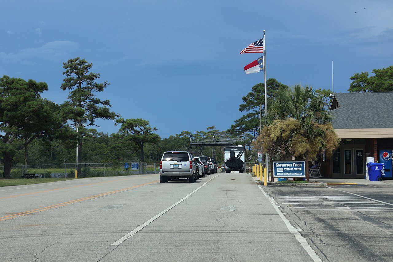
Across the mouth of the Cape Fear River between Southport and the beaches south of Wilmington. A toll route.
Across the Neuse River on NC 306, a commuter route for the Marine Corps air station at Cherry Point.
Across the Pamlico River on NC 306, begun in 1966 for the workers of the mines at Aurora.
Across Currituck Sound, begun in 1962 for island schoolchildren, the world's longest free ferry route.
A passenger ferry across Ocracoke Inlet to the abandoned village of Portsmouth on the Core Banks.
Boats to the wild horses of Shackleford Banks and to the Cape Lookout lighthouse, which can only be reached by water.
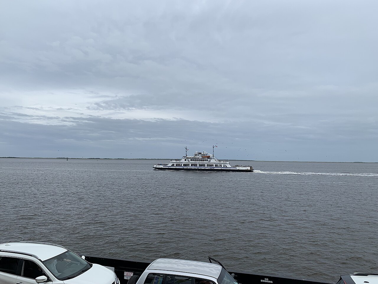
North Carolina's coast is a chain of barrier islands with wide, shallow sounds behind them, and for a century the state has bridged the gaps with boats. The state ferry system runs seven routes and an emergency one, with 22 ferries, more than 400 workers and its own shipyard at Manns Harbor. Its boats make over 200 sailings a day and carry nearly a million vehicles and more than two million passengers a year across the Currituck and Pamlico sounds and the Cape Fear, Neuse and Pamlico rivers.
For a visitor the ferries are not a curiosity but part of the road. NC 12, the highway of the Outer Banks, continues by ferry from Hatteras Island to Ocracoke and on across Pamlico Sound to the mainland, and a trip down the islands is planned around the boats.
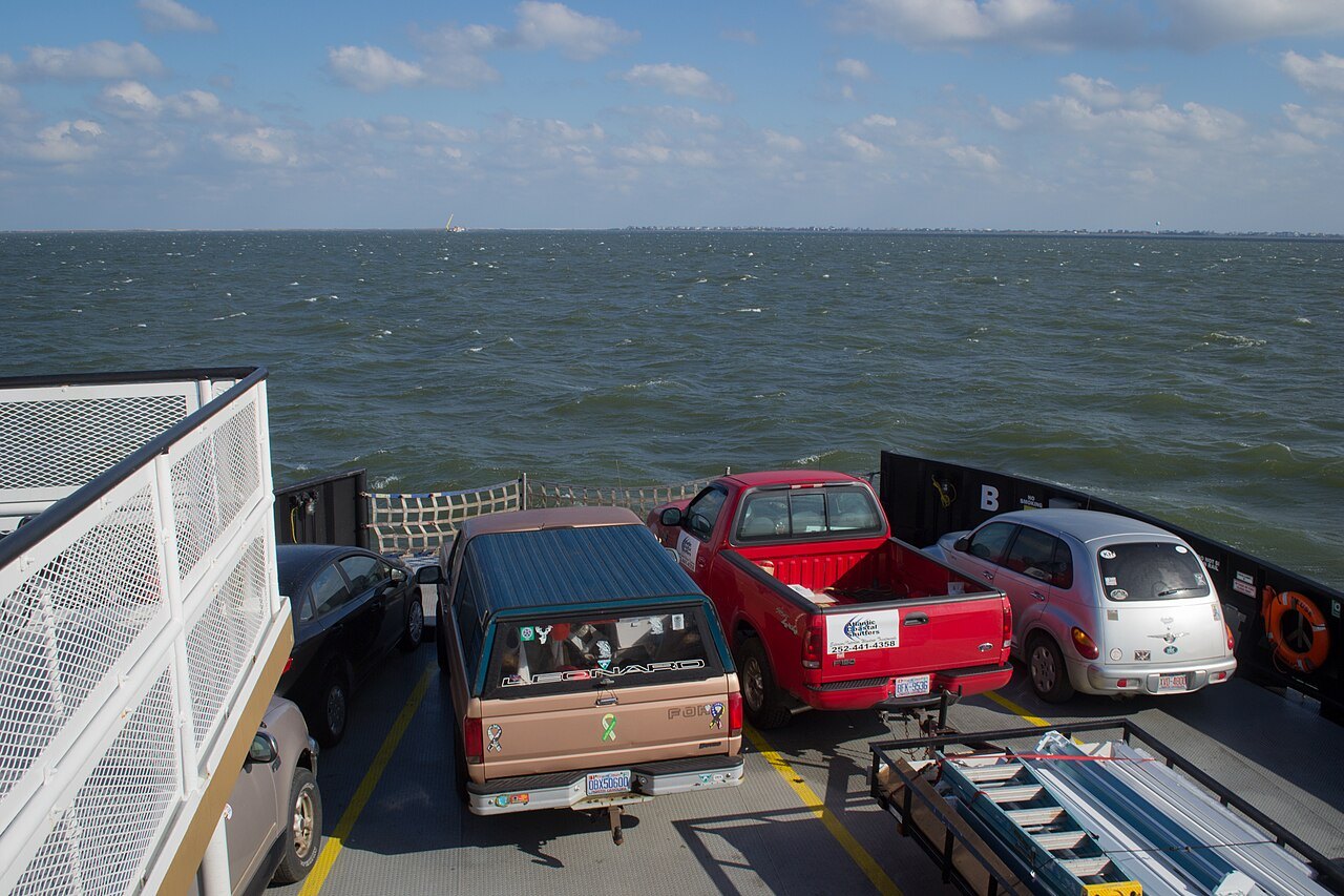
The first ferries began in the mid-1920s, when Captain J. B. "Toby" Tillett ran a tug and barge across Oregon Inlet. In 1934 the state highway commission began subsidizing his service to keep the tolls down, and in 1942 it paid the whole cost so the crossing was free; the state bought the business in 1950. In 1947 the commission bought a route across Croatan Sound between Manns Harbor and Roanoke Island, which became the first route of the state system.
Bridges have since replaced those early crossings, and the Oregon Inlet ferry has given way to the Marc Basnight Bridge, but the system has grown. The Hatteras–Ocracoke route began in 1953, the Cedar Island–Ocracoke route in 1961, Knotts Island in 1962, Southport–Fort Fisher in 1965, Bayview–Aurora in 1966, Cherry Branch–Minnesott Beach in 1973, and Swan Quarter–Ocracoke, the newest, in 1977.
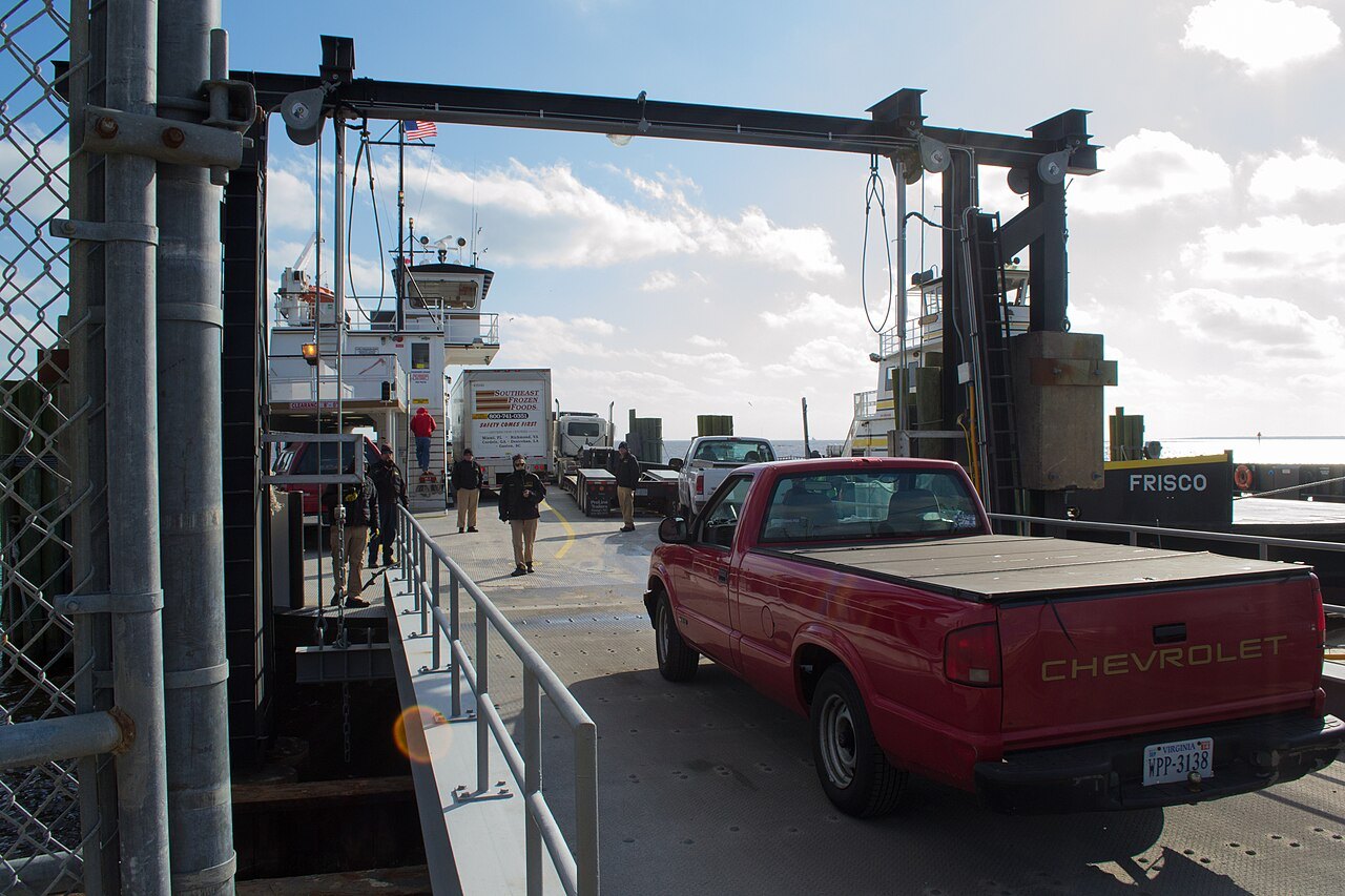
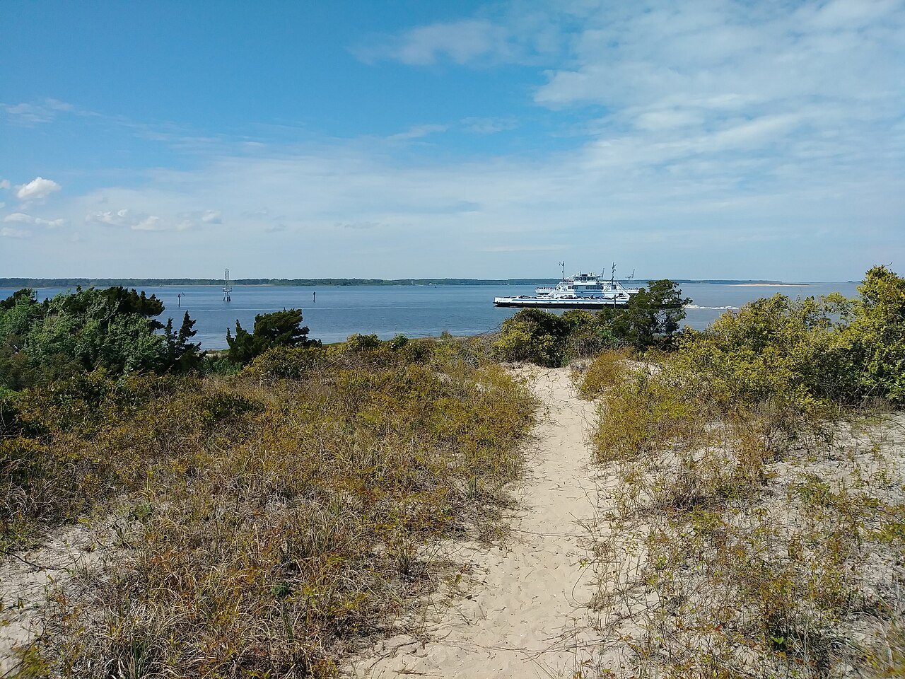
The crossing most visitors make is the busiest in the system, across Hatteras Inlet between Hatteras village and the north end of Ocracoke Island, with about a million passengers a year. It takes about an hour and carries cars, and it lands you at the empty northern end of the island, with miles of national seashore to drive before the village. Nearly all of Ocracoke outside the village belongs to Cape Hatteras National Seashore, and the island has no bridge at all, so the three public ferries, private boats and small planes are the only ways on and off.
The route links the two halves of NC 12, and in summer it is where day visitors come over to Ocracoke. On a day with a ferry at each end, allow extra time for both.
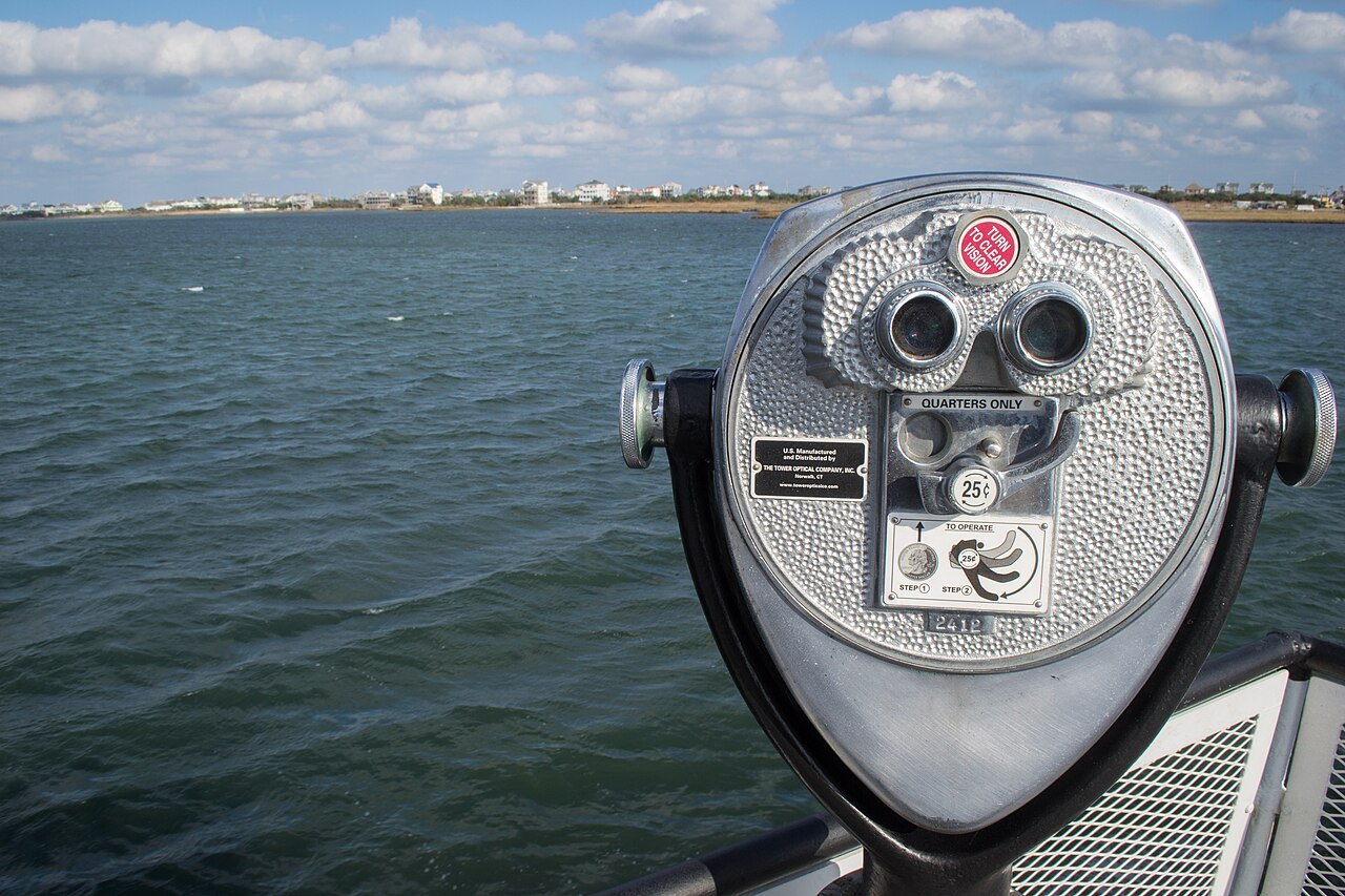
Two long routes cross Pamlico Sound from Ocracoke village to the mainland. The Cedar Island ferry, begun in 1961 to give NC 12 a connection to the mainland, lands near Atlantic, the start of the road south to Beaufort and the Crystal Coast. The Swan Quarter ferry, begun in 1977, links the island to its county seat in Hyde County.
These are the crossings that let you drive the whole coast in one direction: down the Outer Banks from Nags Head, across to Ocracoke, and off the island to the south, without doubling back. They are long crossings with a limited number of sailings, so look at the schedule and the reservation information before you commit to one. Both are toll routes.
Farther south, the Southport–Fort Fisher ferry crosses the mouth of the Cape Fear River, and it was designed for visitors: it joins the old port of Southport with the beaches and the fort south of Wilmington, saving a long drive around by land. It too charges a toll.
Inland, the Cherry Branch–Minnesott Beach ferry across the Neuse and the Bayview–Aurora ferry across the Pamlico River carry commuters, and the Currituck–Knotts Island ferry, begun in 1962 so that island children could get to school on the mainland, is the world's longest free ferry route. Three small cable ferries on inland rivers are run separately by the state.
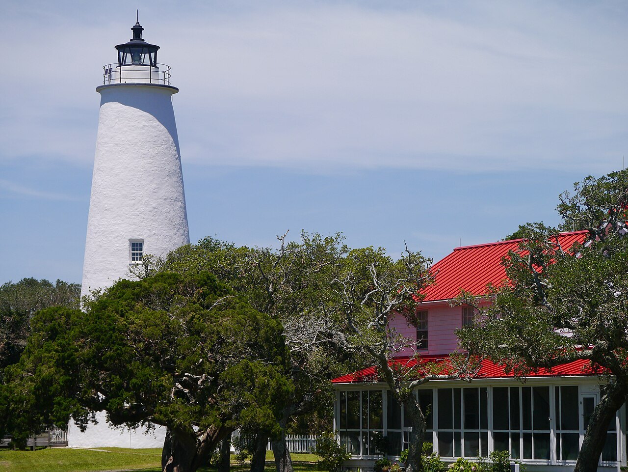
The state's ferries are built for shallow water. The Hatteras Class boats draw only four feet, to cross the shifting shoals, and carry up to 149 passengers. The River Class ferries are double-ended, so they do not have to turn around at the docks. The Sound Class ferries, the largest in the fleet, carry up to fifty cars across the rough, shallow water of Pamlico Sound.
When a hurricane washes out NC 12 near Oregon Inlet, an emergency route between Stumpy Point on the mainland and Rodanthe on Hatteras Island keeps the island connected; it runs only when needed, and normally only for essential vehicles and residents. Ferries also carry essential goods to communities cut off by water, and many residents depend on them to reach school and work. In 2021 Ocracoke was chosen for a federal energy program that is studying whether its ferries could be electrified, to make hurricane evacuations easier.
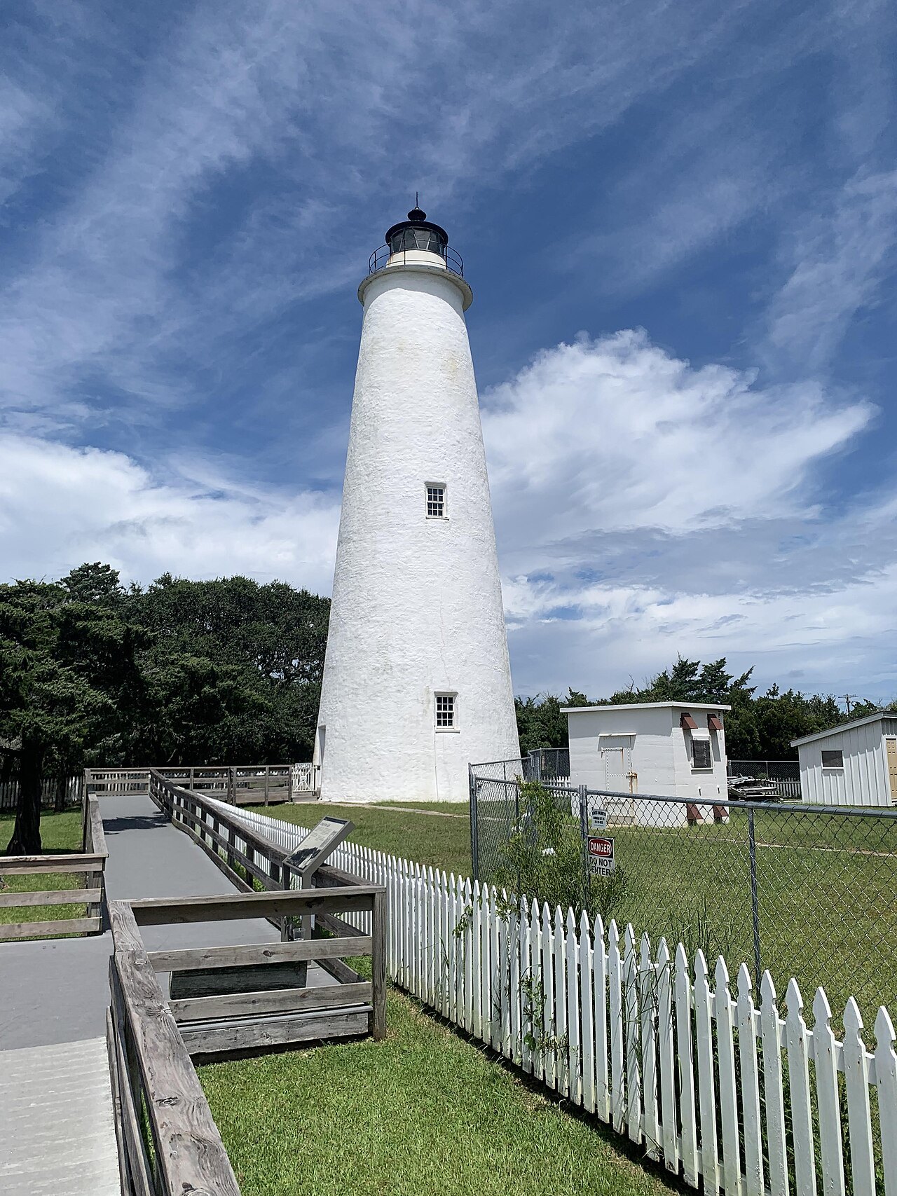
Some of the best places on the coast are reached only by private ferry. Cape Lookout and its diamond lighthouse can be reached only by boat, and ferries to the wild horses of Shackleford Banks leave from Beaufort, Morehead City and Harkers Island. A passenger ferry crosses Ocracoke Inlet from Ocracoke village to Portsmouth, the abandoned village on the Core Banks, and the state parks service runs a ferry to Hammocks Beach State Park. Four-wheel-drive vehicles can also reach the Core Banks by a ferry across Core Sound from Atlantic and drive the beach and sand tracks to Portsmouth.
Many of these boats run on seasonal schedules set by their operators; look at the operators' and the Park Service's sites before you plan a day around them.
The state ferry system publishes its schedules and reservation information; look at its own site before you travel, because schedules change with the season, the weather and the state of the channels. Some routes are free and others charge a toll by vehicle size. Storms, fog and shoaling can cancel or reroute sailings, and after a hurricane some routes may be closed for repairs. Build a spare half day into any trip that depends on a boat, especially on the Pamlico Sound crossings, and see When to Come for the hurricane season.
Sources read for this page