THE COAST · THE SOUTHERN OUTER BANKS
Cape Lookout, the diamond lighthouse and the wild islands
Photographs: Jarek Tuszyński, Wikimedia Commons, CC BY 3.0 · Ldicktel, Wikimedia Commons, CC BY-SA 4.0 · Ted Van Pelt, Wikimedia Commons, CC BY 2.0
The Coast · landmark 18 of 21
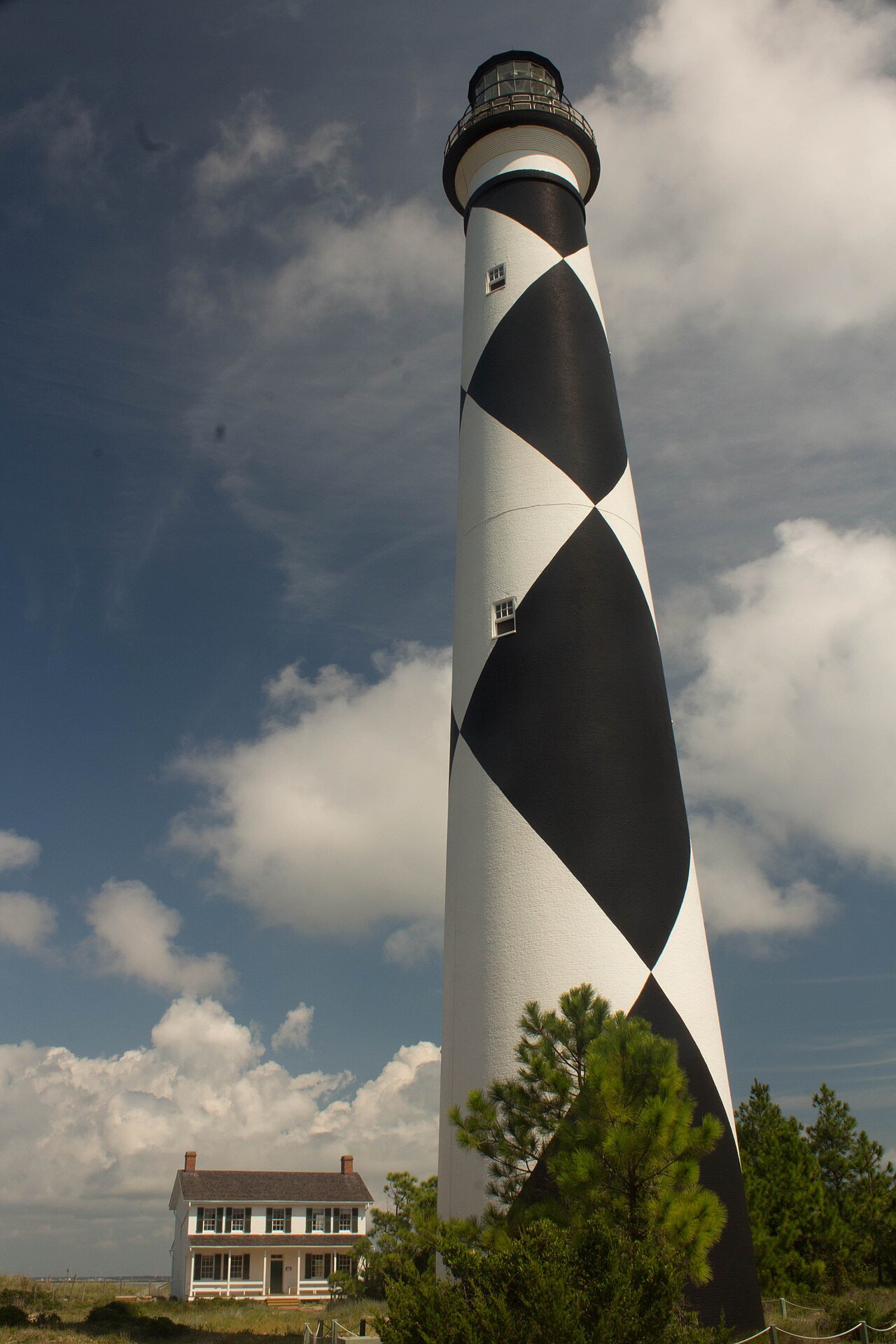
Fifty-six miles of undeveloped barrier islands reached only by boat, with the only checkered lighthouse in the country, the wild horses of Shackleford Banks and Portsmouth, a village left standing after its last people moved away in 1971.
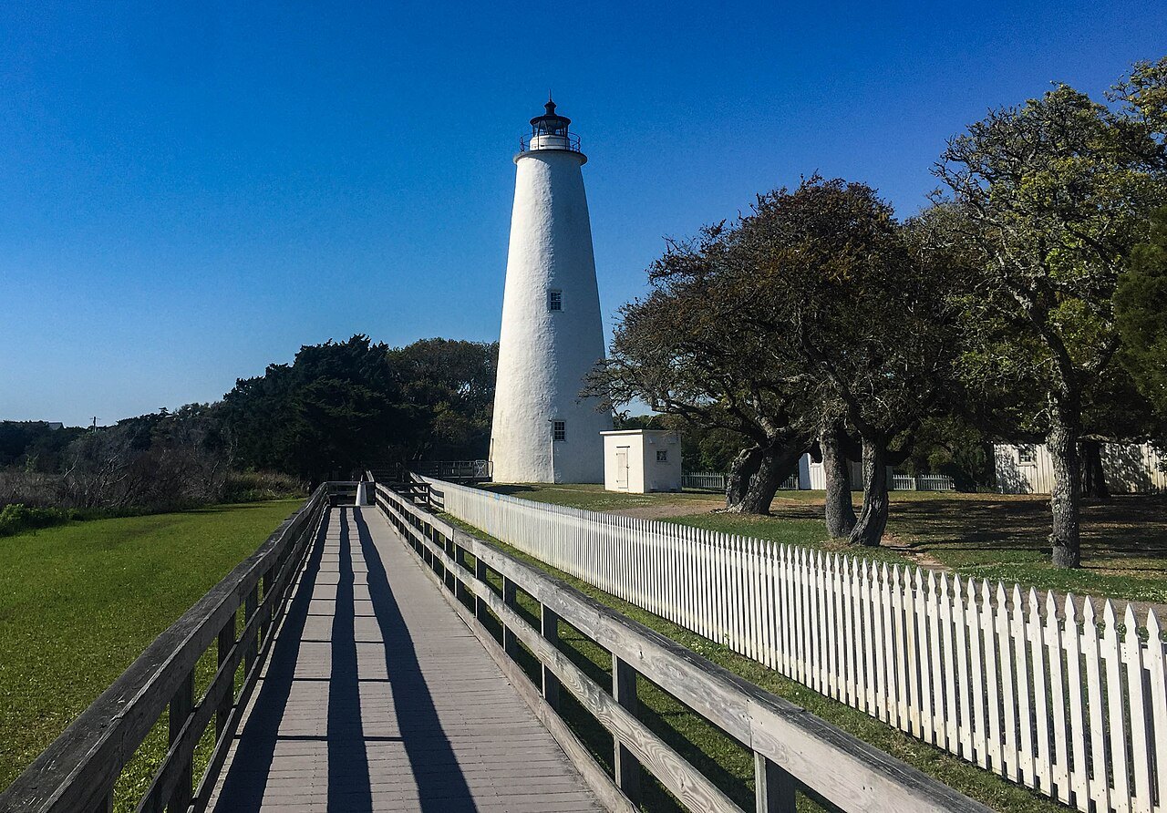
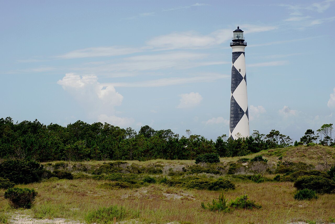
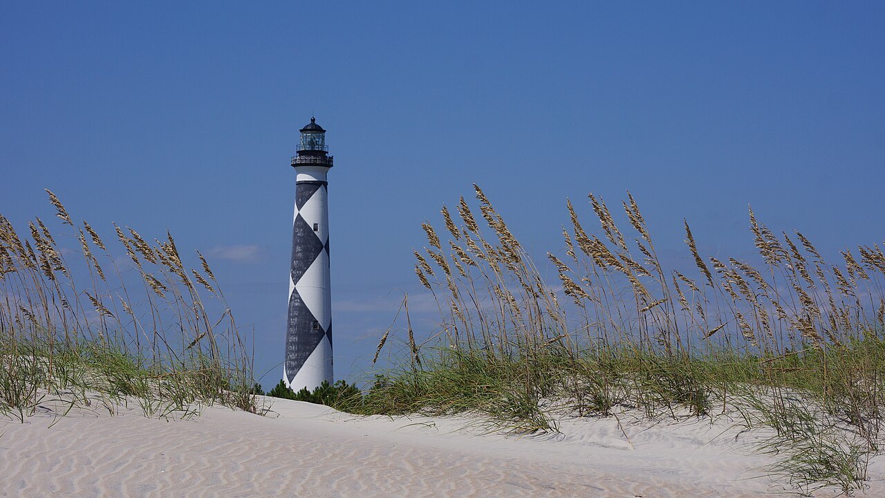
- The diamond daymarkBlack and white diamonds whose points show sailors north and south, east and west.
- The keepers' quartersA small museum at the foot of the tower, open in summer with the light station visitor center.
- Shackleford BanksThe island of the Banker horses, a herd of feral horses watched over by the Park Service.
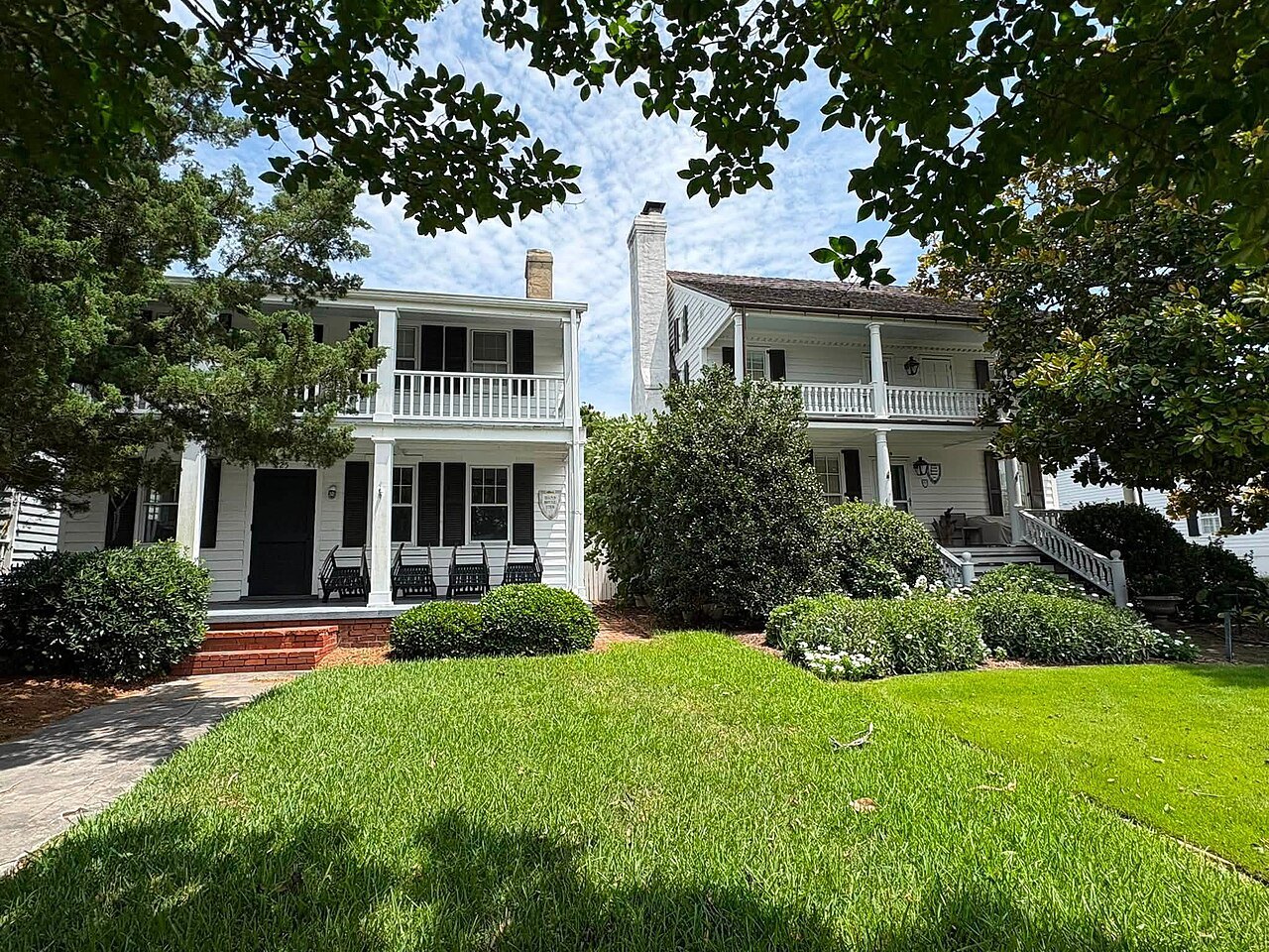
- Portsmouth VillageTwenty-one buildings of a port town on the Core Banks, abandoned in 1971 and kept as it was.
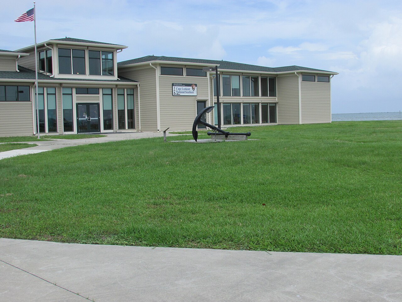
- The Harkers Island visitor centerThe seashore's mainland base, on an island of boatbuilders and decoy carvers.
- Lookout ShoalsThe shallows off the cape that sailors called the Horrible Headland.
Why it matters
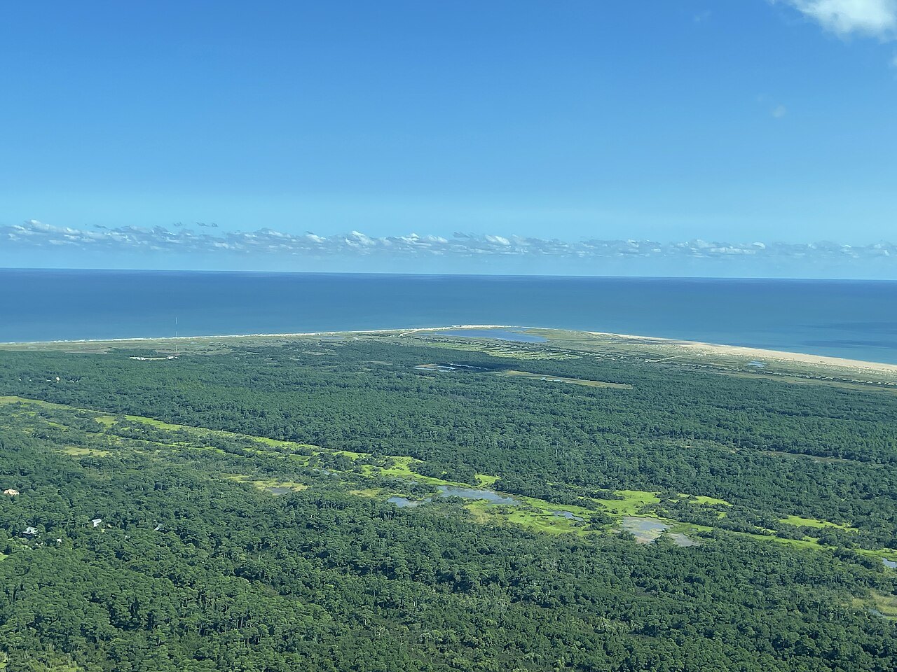
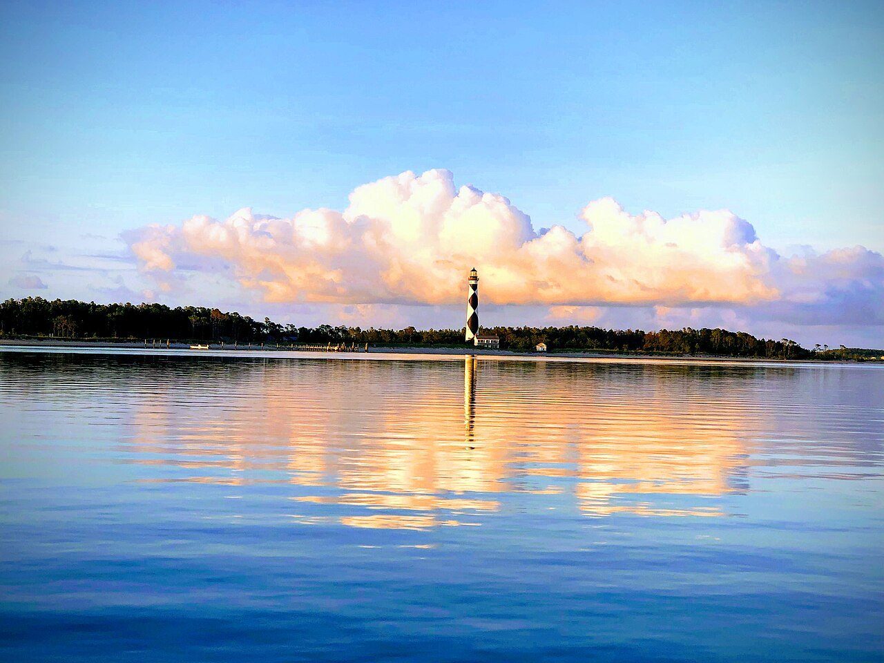
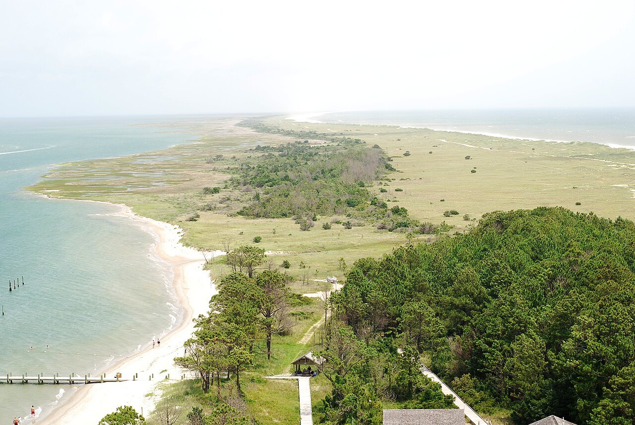
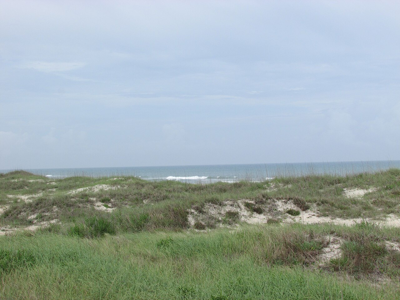
Cape Lookout National Seashore protects fifty-six miles of the southern Outer Banks, from Ocracoke Inlet in the northeast to Beaufort Inlet in the southwest. It is three barrier islands, North Core Banks, South Core Banks and Shackleford Banks, with no roads to them, no bridges and no towns: you come by boat, and you find beach, dunes, wild horses, two historic villages and a lighthouse painted like no other in the country.
Authorized in 1966, the seashore is also a biosphere reserve and a state natural heritage area. It is the quieter, wilder counterpart to Cape Hatteras farther north, and its mainland visitor center is on Harkers Island, across the water from the cape.
The Horrible Headland
The shoals off Cape Lookout were feared by sailors, who called them the Horrible Headland. Congress authorized a lighthouse in 1804, and the first tower, 96 feet of brick with wooden shingles painted in red and white bands, was finally lit in 1812 after eight years of building. It proved too short to light the shoals properly.
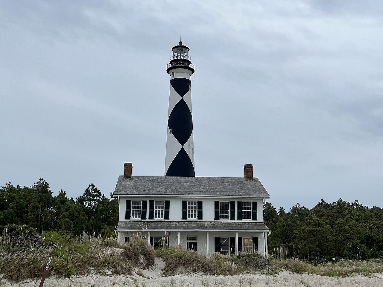
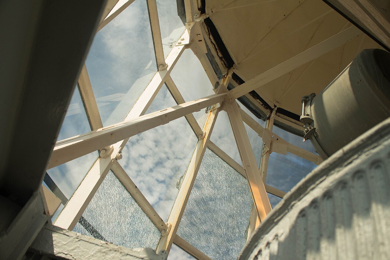
The present tower, 163 feet high, was lit on November 1, 1859, with a first-order Fresnel lens. When North Carolina joined the Confederacy in 1861, the lenses were taken out of the coastal lights so Union ships could not use them. Union troops captured nearby Beaufort and Morehead City in 1862 and put a smaller lens in the tower, and in April 1864 a small party of Confederates slipped through the lines and tried to blow it up. They failed, but the blast destroyed the oil supply and damaged the iron stairs, which were patched with wood until iron was available again after the war.
The state's missing lenses were found in Raleigh in 1865, and in 1867 the original first-order lens went back into the tower.
The diamonds
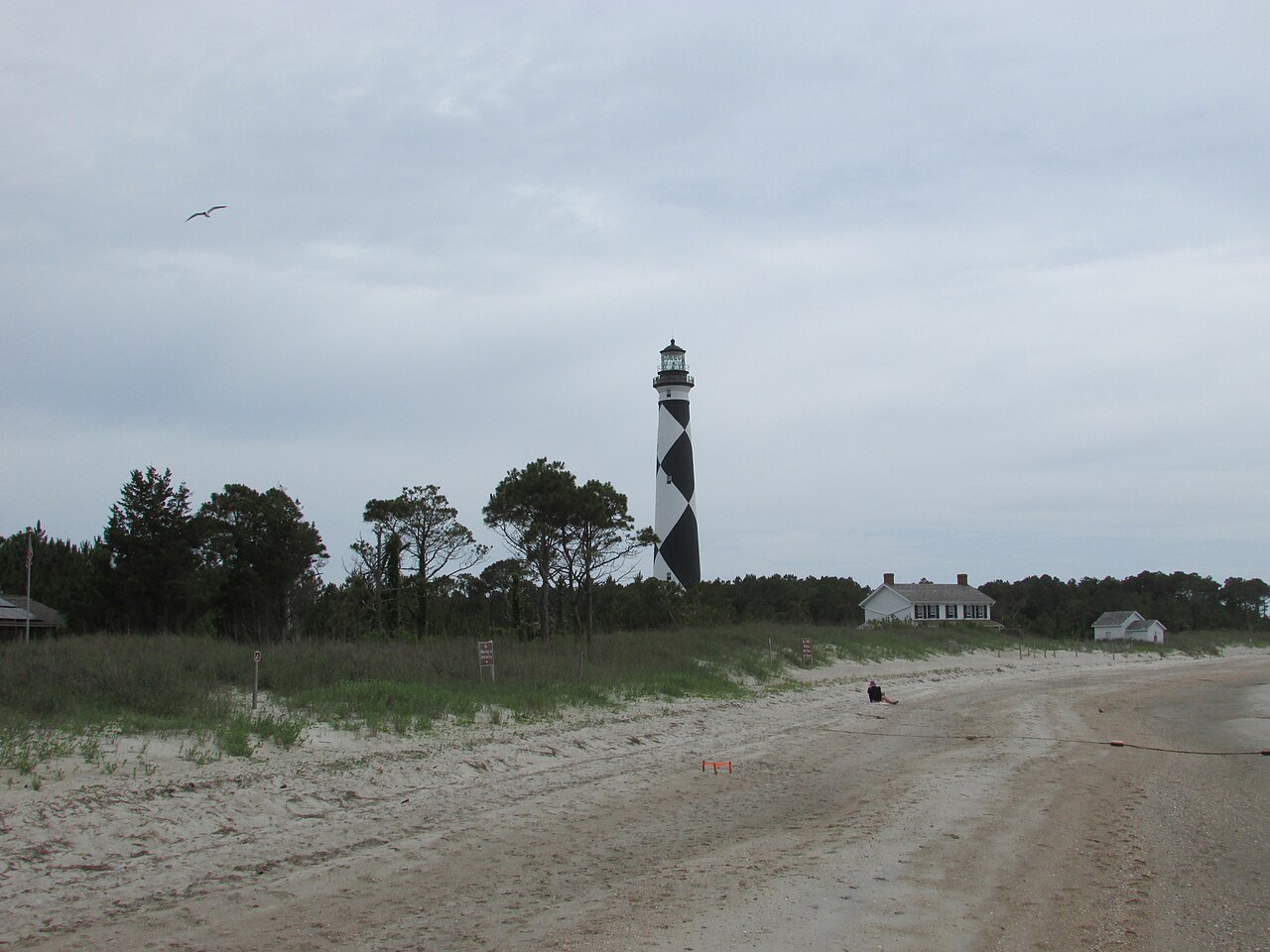
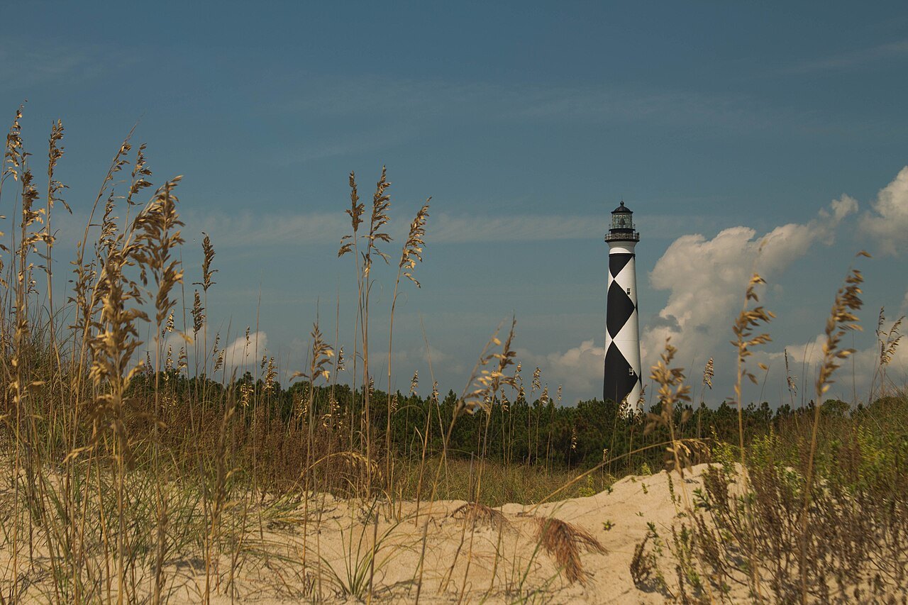
In 1873 the lighthouse was painted in its black and white checkered pattern, the only one of its kind on an American lighthouse. The pattern tells ships more than which light this is: the centers of the black diamonds point north and south, and the centers of the white diamonds point east and west. The tower is almost identical to the Bodie Island light on the Cape Hatteras seashore, which wears horizontal bands, and to the Currituck Beach light, which is left as bare red brick.
Some people believe the paint schemes of Cape Lookout and Cape Hatteras were switched by mistake, since it is Cape Hatteras that guards Diamond Shoals, but the patterns were assigned at random and there is no evidence of a mix-up. Diamond City, a village that once stood on the eastern end of Shackleford Banks, took its name from the lighthouse. The light flashes every fifteen seconds and is one of very few lighthouses that also operate in daylight; it was fully automated in 1950.
The Banker horses
Shackleford Banks, the southern island of the seashore, is known for its feral horses. How they got there is a mystery; legend says they descend from Spanish mustangs that survived a shipwreck, and genetic studies find them similar to other American horses with roots in the Iberian peninsula. The Park Service watches the herd closely, and the horses give a glimpse of how horses lived in the wild before people tamed them.
The island is wild in other ways too: loggerhead turtles nest on it in summer, and scallops and crabs live in its waters. The horses roam wherever they like, so you may have to search for them, and the Park Service asks visitors to stay at least 50 feet away.
Portsmouth Village
At the northern end of the Core Banks, across the inlet from Ocracoke, stands Portsmouth, founded by the colonial assembly in 1753 as a port where cargo from ocean ships was moved onto shallow boats for the sounds. It reached a population of 685 in 1860 and was one of the most important points of entry on the Atlantic coast after the Revolution.
Its decline began when the storms of 1846 opened new inlets to the north, and the Civil War, the hurricanes of 1933, the closing of the life-saving station in 1937 and of the post office in 1959 followed. Much of the population was African American, descended from enslaved people brought to the island, and among the last residents were Henry and Lizzie Pigott; the village was abandoned in 1971. Twenty-one buildings stand, and in summer the visitor center in the Salter House, the one-room school, the Methodist church, the life-saving station, Henry Pigott's house and the post office and store open to visitors.
Every two years families whose people once lived on the island come back for a homecoming, which began with the churches of Cedar Island, where many islanders resettled, and now welcomes anyone who wants to celebrate the village's heritage.
How to visit
The lighthouse can be reached only by private ferry, and ferries to Shackleford Banks run from Beaufort, Morehead City and Harkers Island; Portsmouth is reached by passenger ferry from Ocracoke village. In summer the light station visitor center and the keepers' quarters museum open at the foot of the tower. In 2021 an inspection found serious problems with the tower's iron stairs and the lighthouse was closed to climbing for repairs, so look at the Park Service's own site before planning a climb.
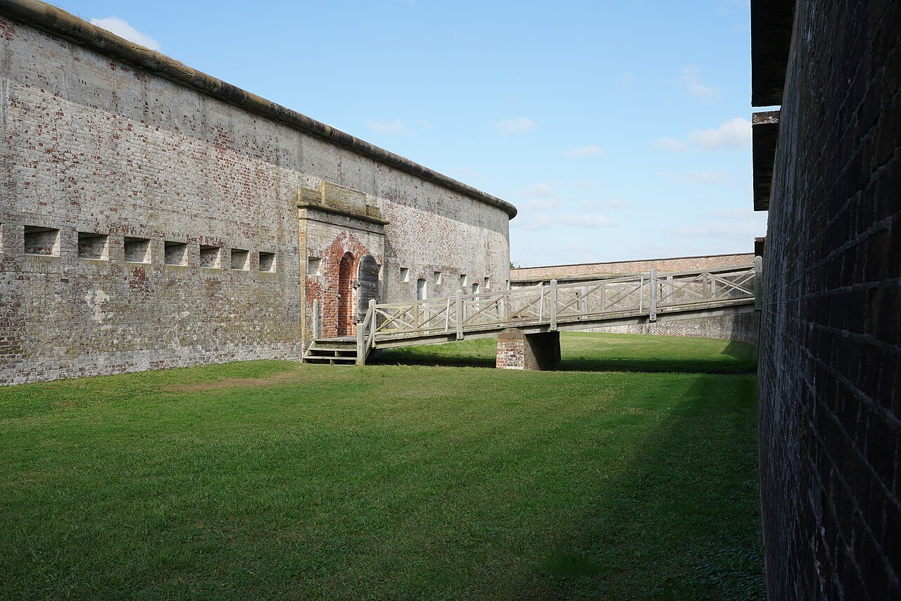
Portsmouth has no drinking water, food or electricity, and camping is allowed on the beach but not in the village; bring what you need for the day. Pair the seashore with the old port of Beaufort and Fort Macon across the inlet.
Nearby