THE COAST · OCRACOKE ISLAND
Ocracoke, the island at the end of the ferry
Photographs: Victoria Stauffenberg, Wikimedia Commons, Public domain · Memcgee4, Wikimedia Commons, CC BY-SA 4.0 · Progress P, Wikimedia Commons, CC0
The Coast · landmark 17 of 21
A barrier island with no bridge, reached only by ferry, boat or small plane: a village around a sheltered harbor, the oldest operating light station in the state, a British war cemetery, wild ponies and miles of empty national seashore, where Blackbeard died in 1718.
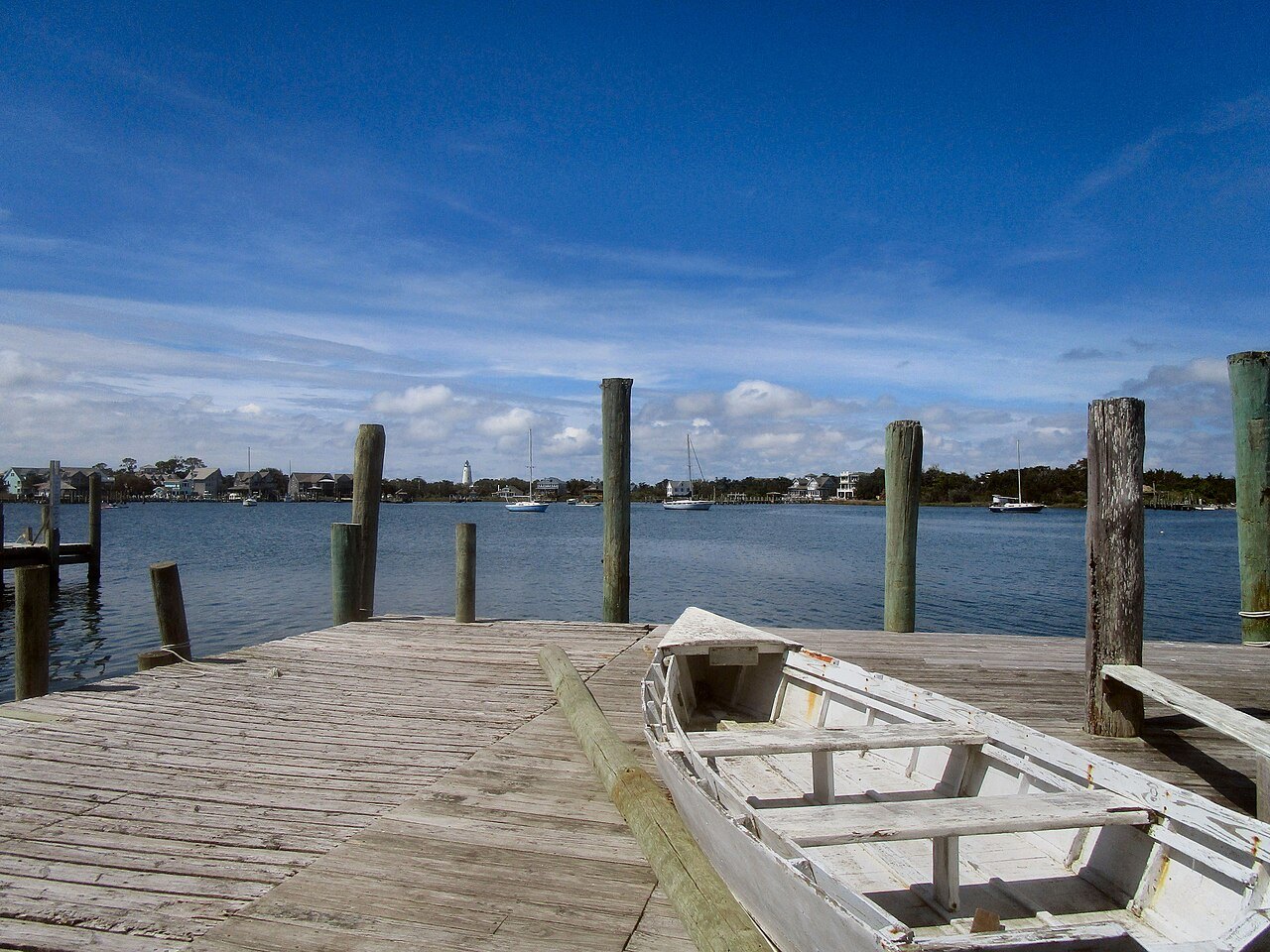
- Silver LakeThe small sheltered harbor the village wraps around, where the ferries from the mainland dock.
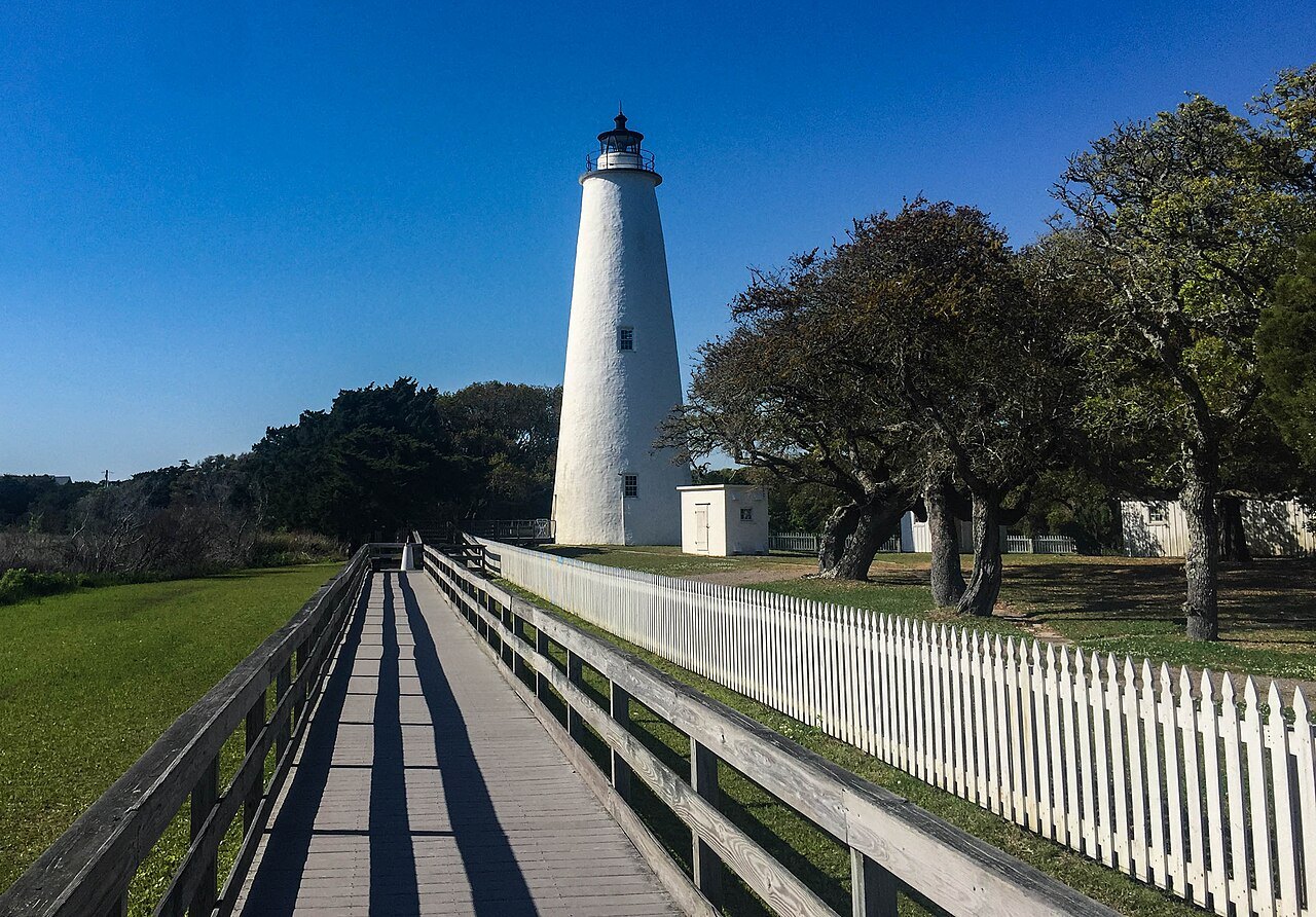
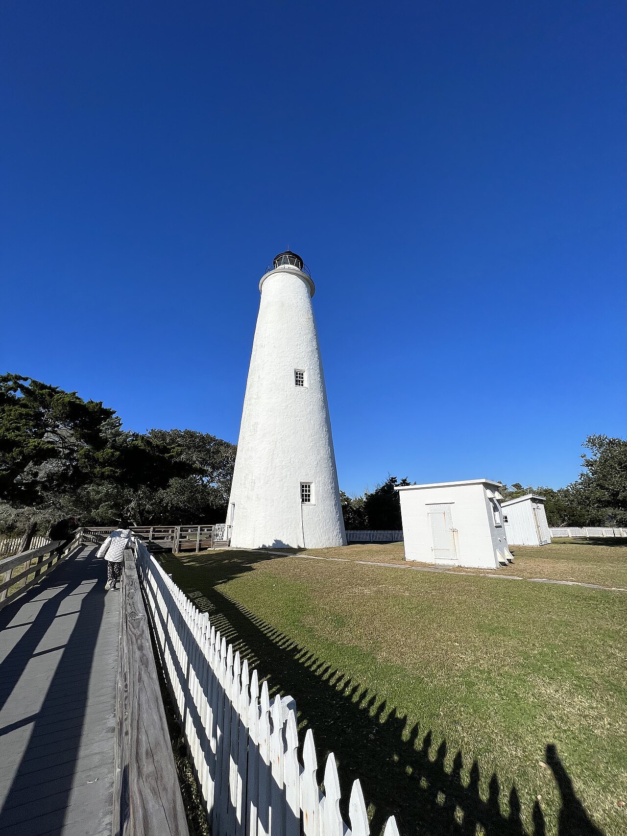
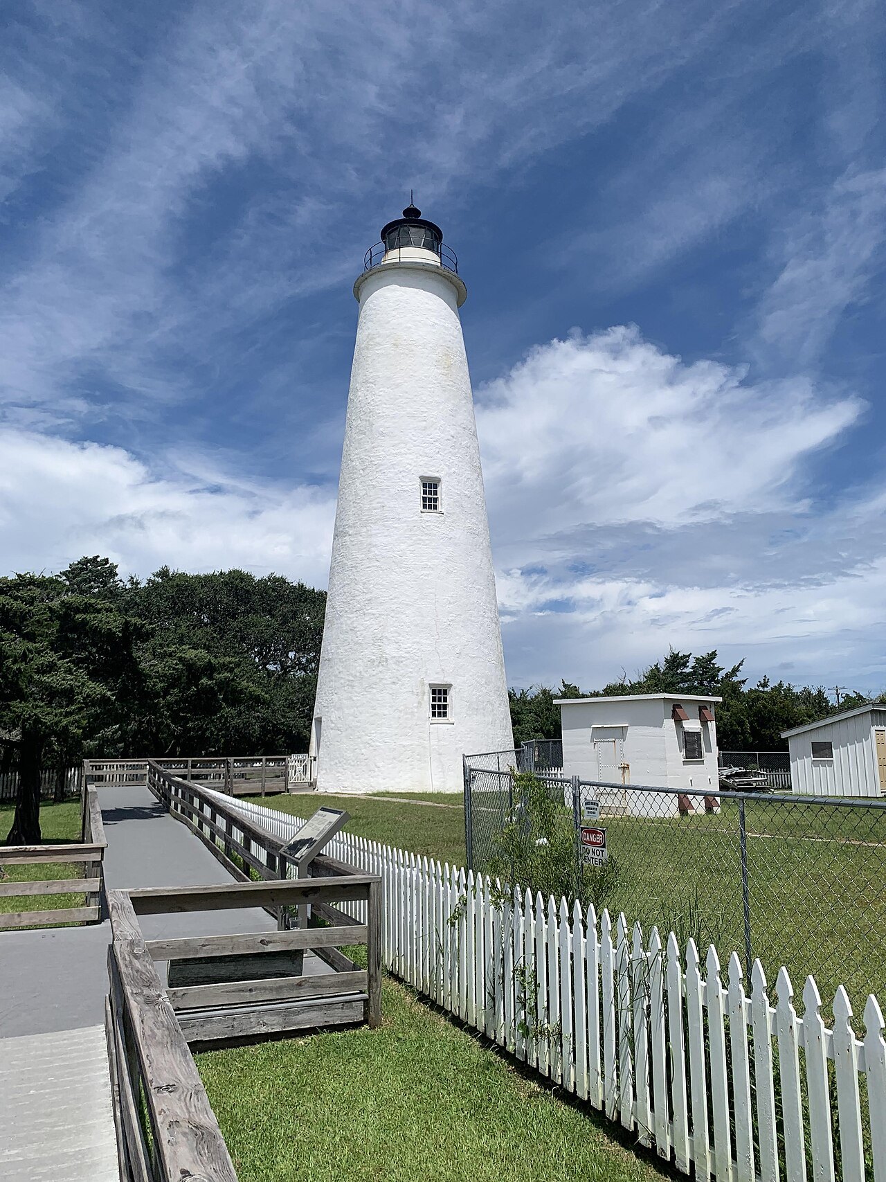
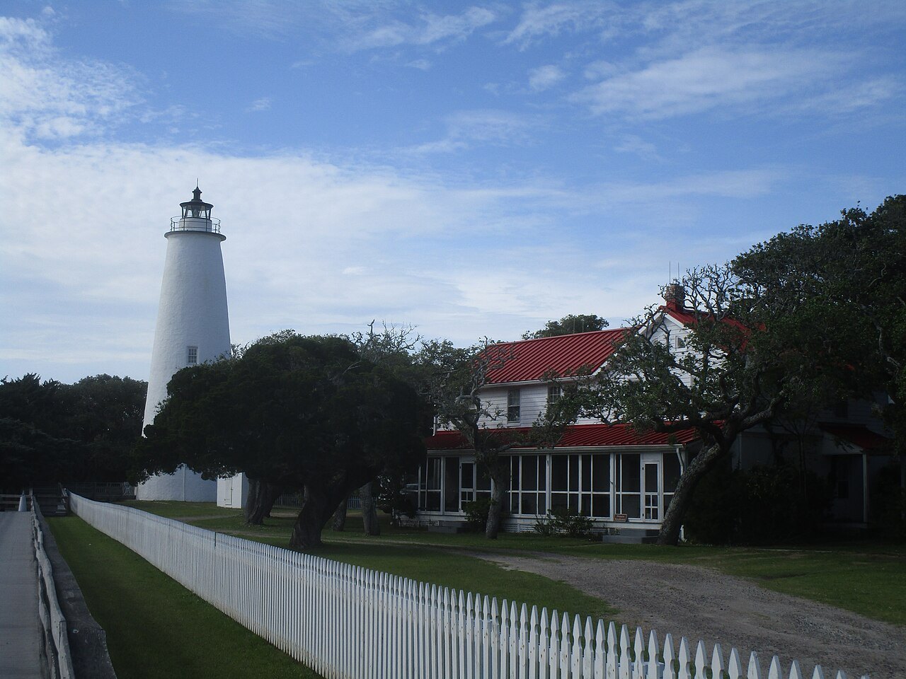
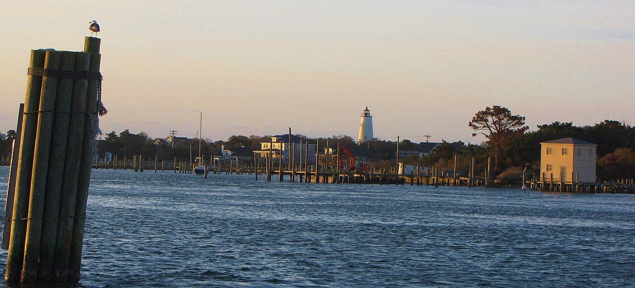
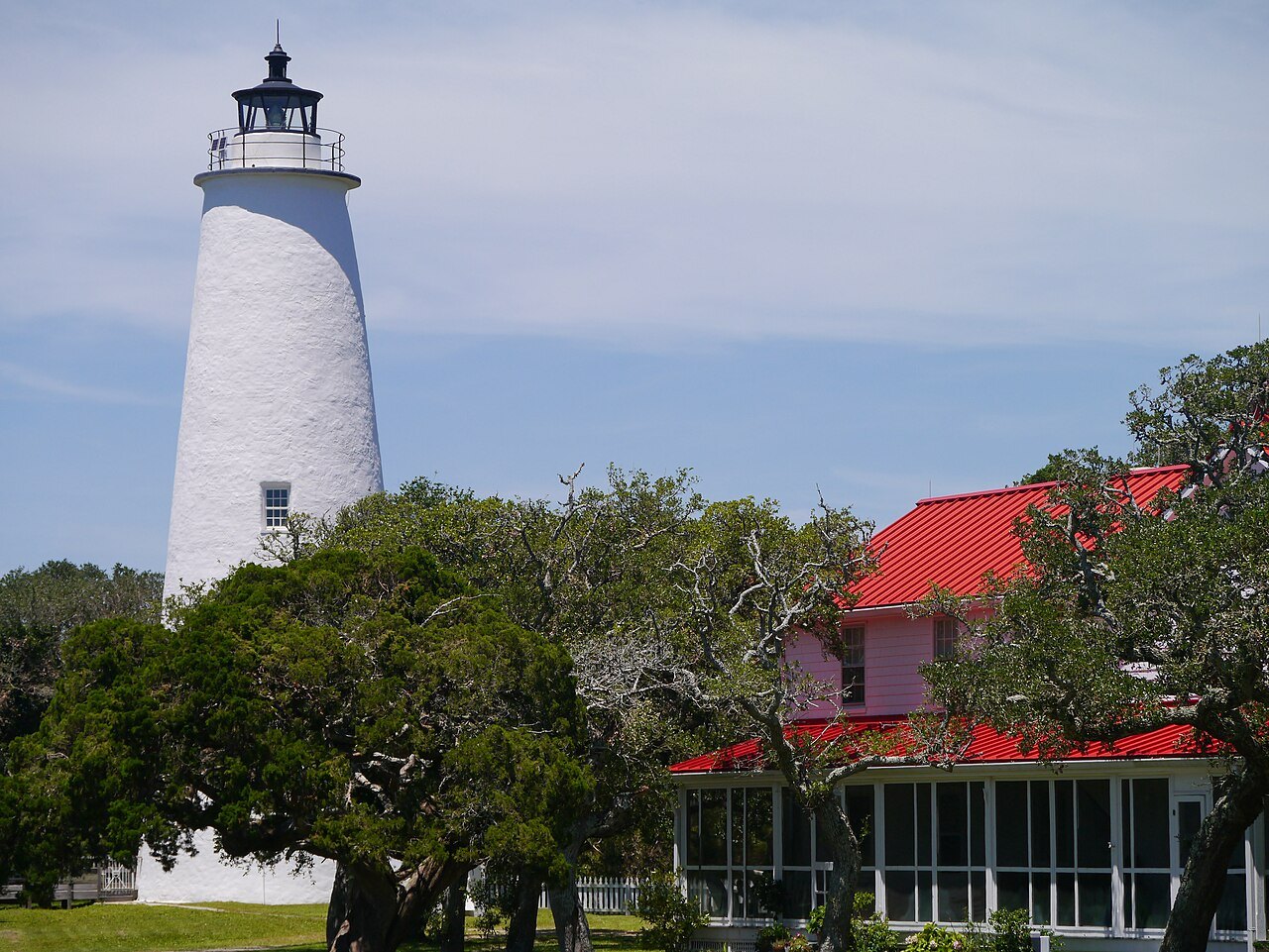
- Ocracoke LightA whitewashed brick tower of 1823, the oldest operating light station in North Carolina.
- The British CemeteryThe graves of British sailors washed ashore after U-boat attacks in World War II.
- Springer's PointA nature preserve by the inlet, said to be the hideout of Blackbeard.
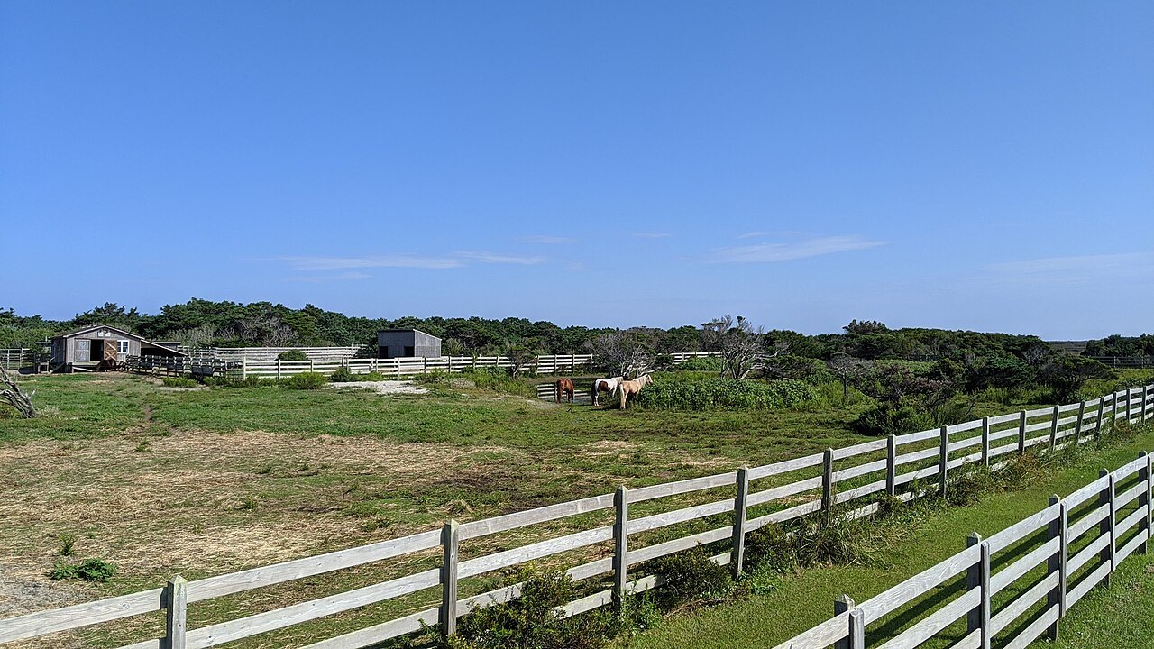
- The pony penHome of the island's feral Banker ponies, said to descend from horses of shipwrecks.
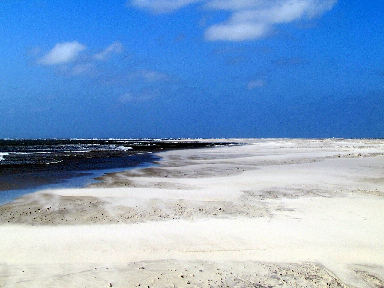
- The seashore beachesNearly all of the island outside the village is part of Cape Hatteras National Seashore.
Why it matters
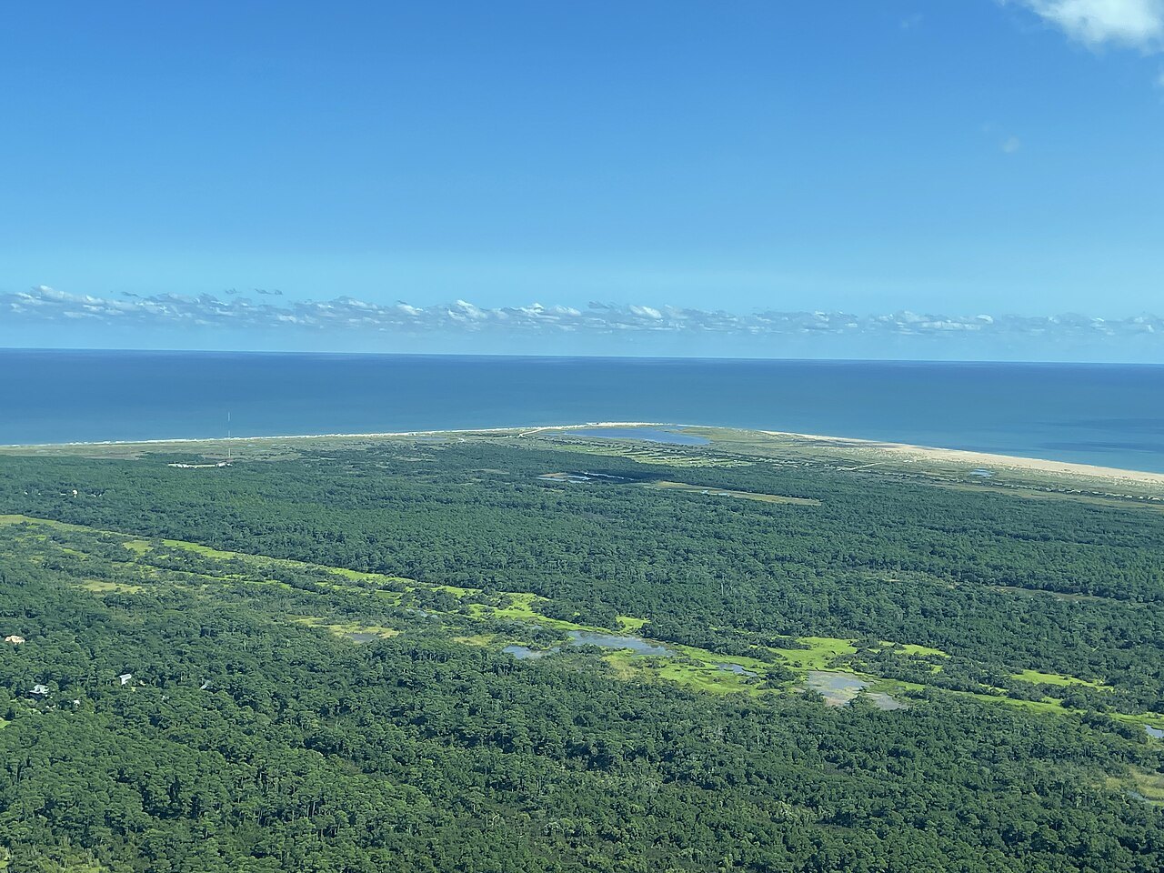
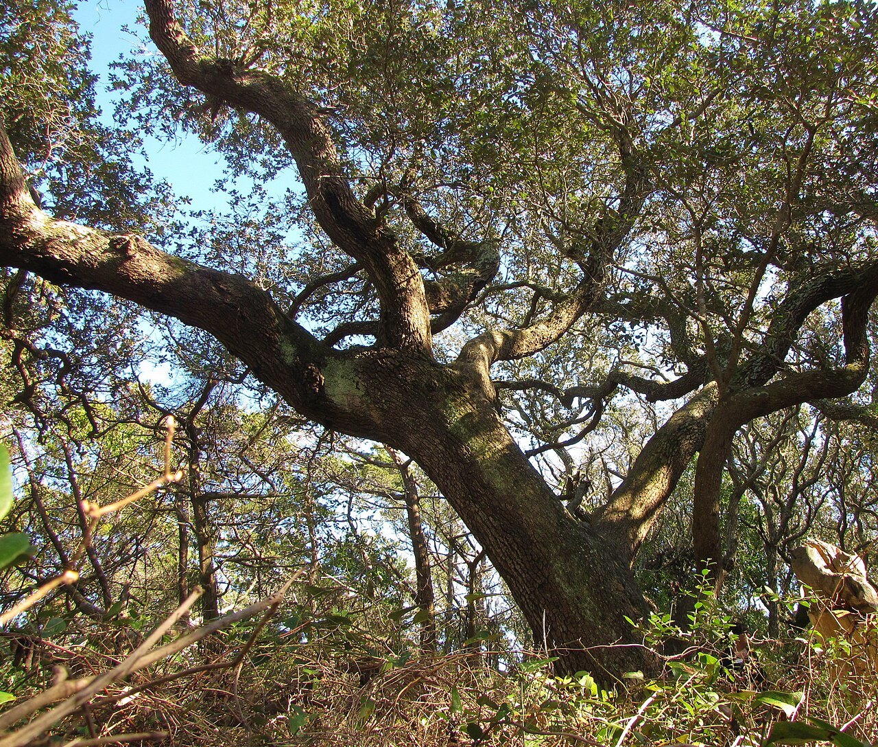
Ocracoke is one of the most remote islands on the Outer Banks. No bridge reaches it: the island's one road, NC 12, runs from the ferry dock at its northeastern tip to the village at the other end, and the only ways on and off are the state ferries, a private boat or a private plane. Almost everything outside the village belongs to Cape Hatteras National Seashore, so most of the island is dunes, marsh and open beach.
The village of Ocracoke, in Hyde County, is home to fewer than 800 people. Its economy is tourism and fishing, and in the busy months day visitors come over on the ferry from Hatteras Island and fill its restaurants and shops. Away from the lights of any city, its summer beaches have some of the best views of the Milky Way on the coast.
An island that comes and goes
The name grew out of an Algonquian name, Wokokon or Wococcon, on maps of the late sixteenth century; the popular story that Blackbeard gave it by shouting "Oh, crow cock" at a rooster is almost certainly a legend. In the 1500s the islands were home to Algonquian-speaking people, the Hatteras or Croatan, who made a ceremonial black drink from the leaves of the yaupon holly.
The island itself has changed shape. At times it has been joined to Hatteras Island; the present Hatteras Inlet between them was torn open by the Great Gale of September 1846, the same storm that opened Oregon Inlet. Its land stands on average less than five feet above the sea, many buildings stand on pilings, and hurricanes cross it often. Major storms struck in August and September 1933, in 1944 and in 1949, and islanders wrote their own accounts of them on the walls of a building known as the Hurricane House. In 2019 Hurricane Dorian destroyed about a thousand feet of NC 12, and the island was closed to visitors while contractors rebuilt the road and the dunes.
Blackbeard and the pilots
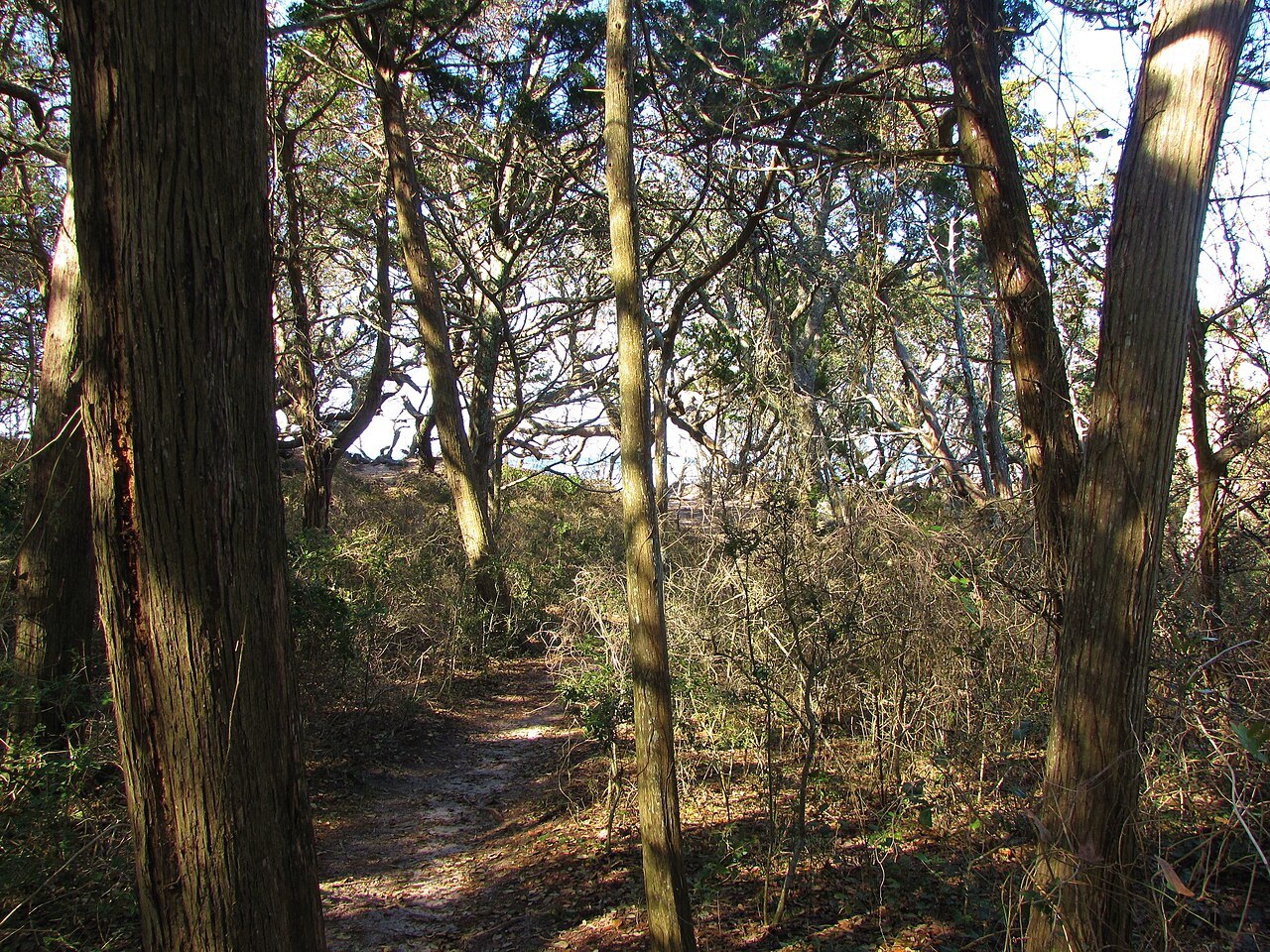
Ocracoke was not settled for good until 1750, and before that it was at times a haven for pirates. It was a favorite anchorage of Edward Teach, better known as Blackbeard, and on November 22, 1718, he was killed here in a fierce battle with troops sent from Virginia. The woods of Springer's Point, now a nature preserve, were said to be his hideout.
The colonial assembly founded Pilot Town here in 1715, and through the eighteenth century the island was home to skilled pilots who took smaller ships through Ocracoke Inlet into Pamlico Sound. Goods came off ocean-going ships into warehouses and went on by schooner to the towns up the mainland rivers. When that trade ended, the Life-Saving Service and fishing kept the island going.
During the Civil War, Confederates built Fort Ocracoke on Beacon Island in the inlet; they abandoned it in 1861, Union troops razed it, and the island and the fort sank under the waves after the hurricanes of 1933. Divers found its remains again in 1998.
The lighthouse
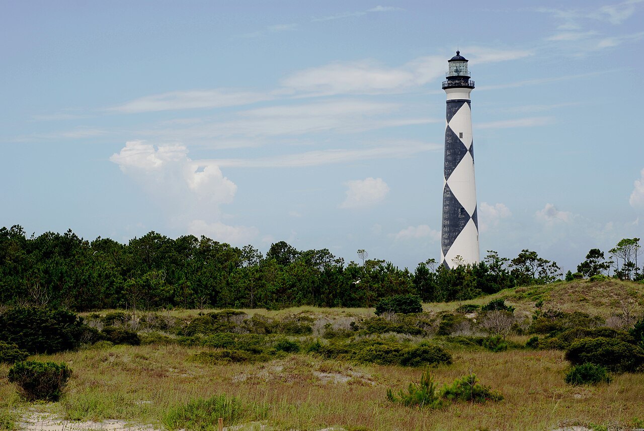
Ocracoke Light stands near Silver Lake, a whitewashed brick tower 75 feet tall built in 1823 by Noah Porter to guide ships through the inlet. It is the oldest operating light station in North Carolina and the second oldest lighthouse still standing in the state. Confederate troops took out its lens in 1864, and Union forces restored it; the light was automated in 1955.
The tower cannot be climbed, because the steel stair inside is safe only for maintenance, but in summer, when a Park Service ranger is on duty, visitors can come to its base.
The British Cemetery
In World War II German submarines sank several British ships off the island, among them HMT Bedfordshire, and the bodies of British sailors washed ashore. Four of them lie in a small plot of island land leased to the Commonwealth War Graves Commission for as long as it remains a cemetery, where a British flag always flies. Each year the Royal Navy, the Park Service and the Coast Guard hold a ceremony there together.
The village and its voice
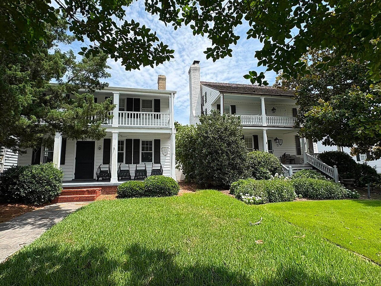
The village lies around Silver Lake at the widest point of the island, sheltered from the ocean by dunes and a salt marsh, with a second small neighborhood on canals at Oyster Creek. The Ocracoke Historic District is on the National Register, and its shops sell local handmade goods, imported crafts and antiques unusual for so small an island. Charter boats go out after drum and tuna in the sound, the ocean and the Gulf Stream.
Ocracoke is known for its brogue, the Hoi Toider dialect, named for the way islanders say "high tide"; younger islanders speak it less and less. Herds of feral Banker ponies, which local legend says descend from Spanish mustangs washed ashore from shipwrecks, are kept in a pen on the island.
How to visit
The ferry from Hatteras village takes about an hour and brings you to the north end of the island, with miles of seashore to drive before the village; ferries from the village dock reach Swan Quarter on the mainland and Cedar Island, and a passenger ferry crosses the inlet to the deserted village of Portsmouth. Ferries covers how the crossings work. In winter the population shrinks and few businesses stay open, and the ocean is usually comfortable for swimming from late May into early October.
Combine the island with the Cape Hatteras lighthouses on the way down and with Cape Lookout to the south.
Nearby