WHY THE BRIDGE IS CALLED MILE HIGH
Is the Mile High Swinging Bridge really a mile high?
Photographs: Leslie Anne Perry, Wikimedia Commons, CC0 · Marshallhash89, Wikimedia Commons, CC BY-SA 4.0 · Thomson200, Wikimedia Commons, CC0
The Journal · Grandfather Mountain
The bridge's famous name refers to the mountain's elevation, not the length of the span itself.
Why it matters
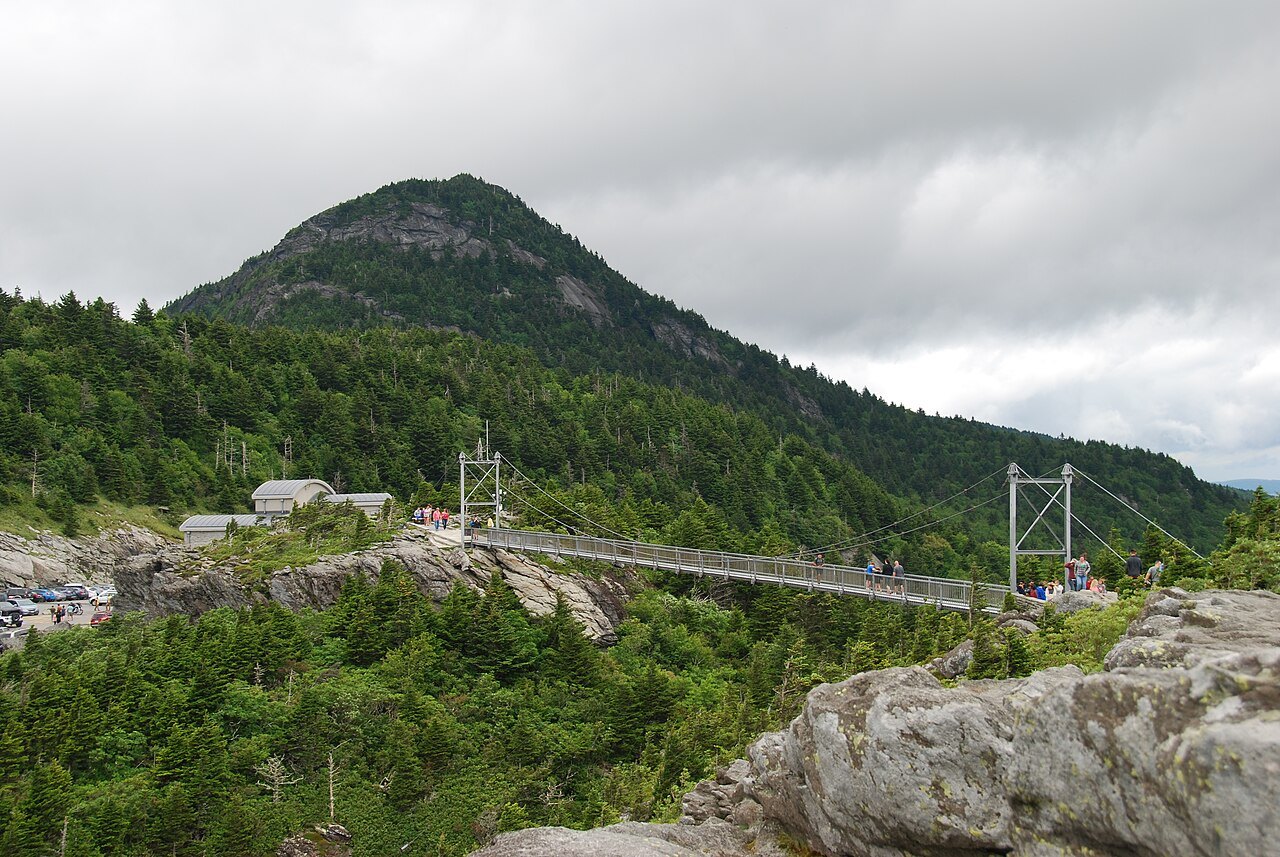
Visitors often ask whether the Mile High Swinging Bridge is actually a mile above the ground, or whether its length matches its name. Neither is quite true: the name points to the elevation of the site on Grandfather Mountain, not to any measurement of the bridge's own span, which was never built to reach a mile in length. The bridge's short span crosses a gap between two outcrops, not a mile of open air, and its height above the gorge floor below is only a small fraction of that distance.
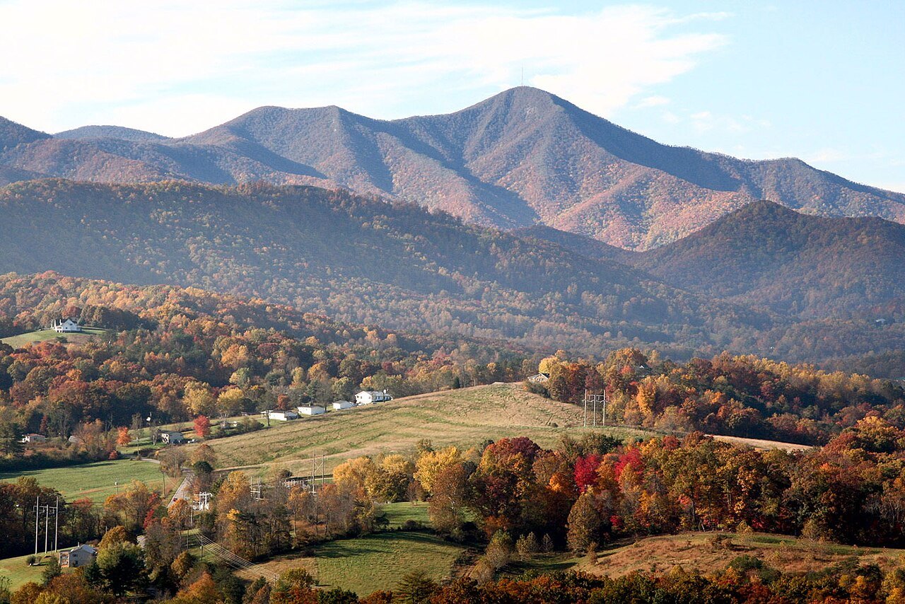
Grandfather Mountain climbs to five thousand nine hundred forty-six feet near Linville, the highest peak on the Blue Ridge's eastern escarpment and the highest point anywhere on the Eastern Continental Divide. Several taller mountains stand nearby, Mount Mitchell chief among them, but every one of them rises west of that divide, not east.
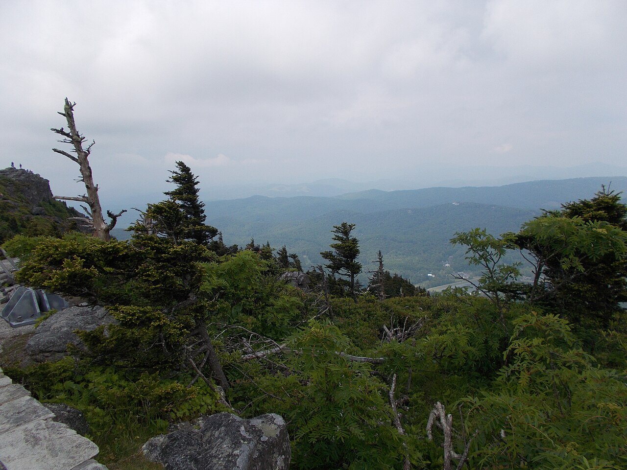
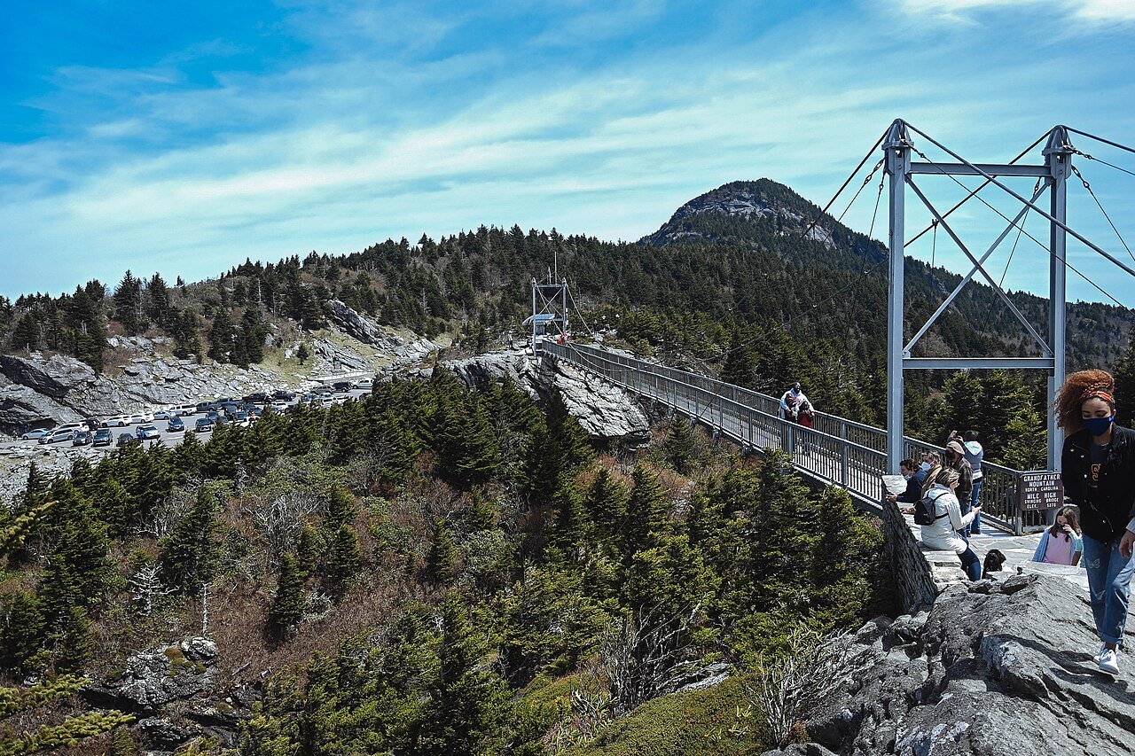
The bridge itself sits near the summit of Linville Peak, one of four named points on the ridge, close enough to that elevation that Hugh Morton, who built it in 1952, chose the name. It links two rocky outcrops across a gap, rather than spanning open air for anything like a mile.
A mile above sea level is five thousand two hundred eighty feet, a benchmark the mountain's summit clears by more than six hundred feet. The attraction's promoters, writing in the early nineteen fifties, were therefore rounding generously rather than measuring with precision, a common practice for roadside names of that era.
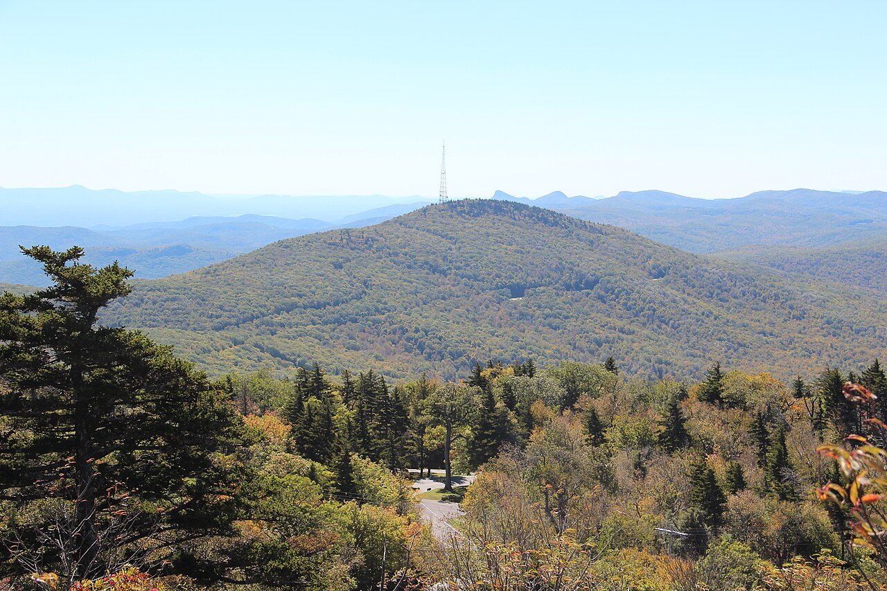
A rugged, windy mountain
Grandfather Mountain is one of the windiest places in the East. Gusts above two hundred miles an hour have been reported, though unverified, and the instruments that now record wind speed stand on the bridge itself. The bridge sways in strong gusts, and that sway, not its height, is the real source of the word swinging in its name.
Winters on the mountain are cold and heavy with snow, summers comparatively mild; snow has fallen as early as September tenth and as late as May twenty-seventh. The climb from the valley floor to the crest crosses sixteen distinct ecological communities, a range of habitat that draws naturalists as well as sightseers to the summit.
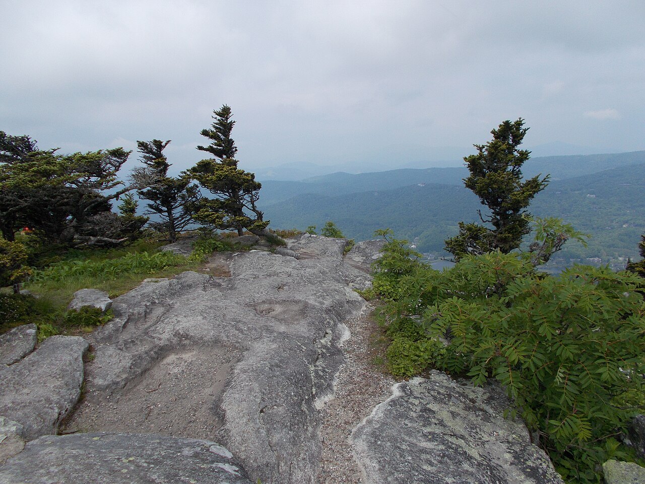
Two rivers rise on its slopes, the Linville flowing east and the Watauga flowing west, a reminder of how steeply the land falls away from the ridge in both directions. The main ridge itself runs roughly north to south, with four named peaks, Calloway, Attic Window, MacRae and Linville; MacRae, though lower, is the hardest of the four to reach.
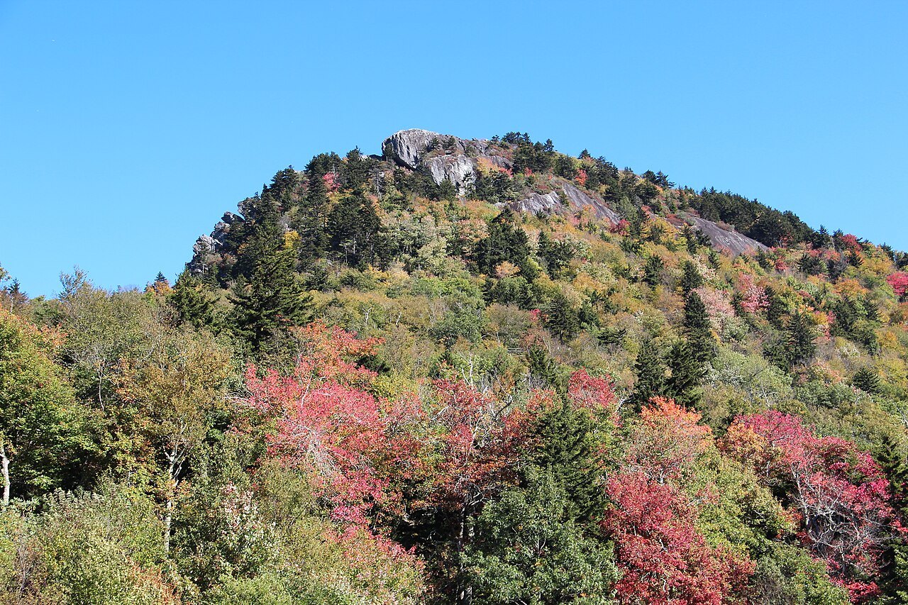
The swinging bridge and the Morton years
Hugh Morton inherited the mountain from his grandfather and spent decades developing its southeast side as a nature preserve and attraction, building the Mile High Swinging Bridge in 1952 to connect two peaks for visitors on foot. It remains known today as the highest swinging bridge anywhere in America, a title it has held for decades.
Morton died in 2006, and the large collection of photographs he made of the mountain and its wildlife passed to the University of North Carolina at Chapel Hill, where they remain available to researchers and visitors alike. His family continued to run the attraction in the years that followed his death, keeping the bridge and museum open to the public.
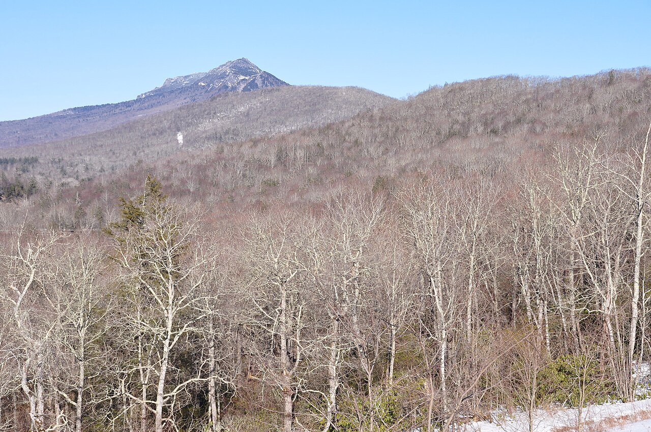
In 2008 the state agreed to buy about two thousand six hundred acres of the undeveloped mountain from the Morton family, and Grandfather Mountain State Park was established the following year, the thirty-fourth park in the state system. The family's nonprofit foundation kept running the smaller attraction side, roughly seven hundred twenty acres with the bridge, the nature museum and the animal habitats, under a conservation easement held by the state.
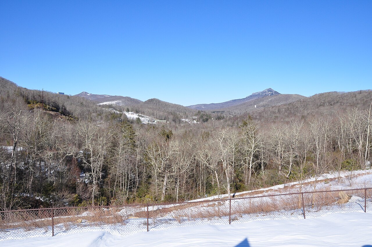
What you see on the attraction side
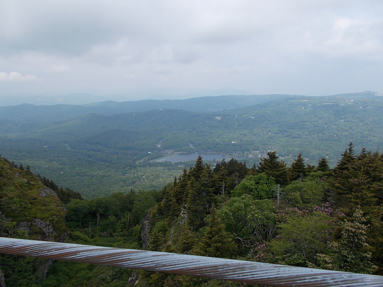
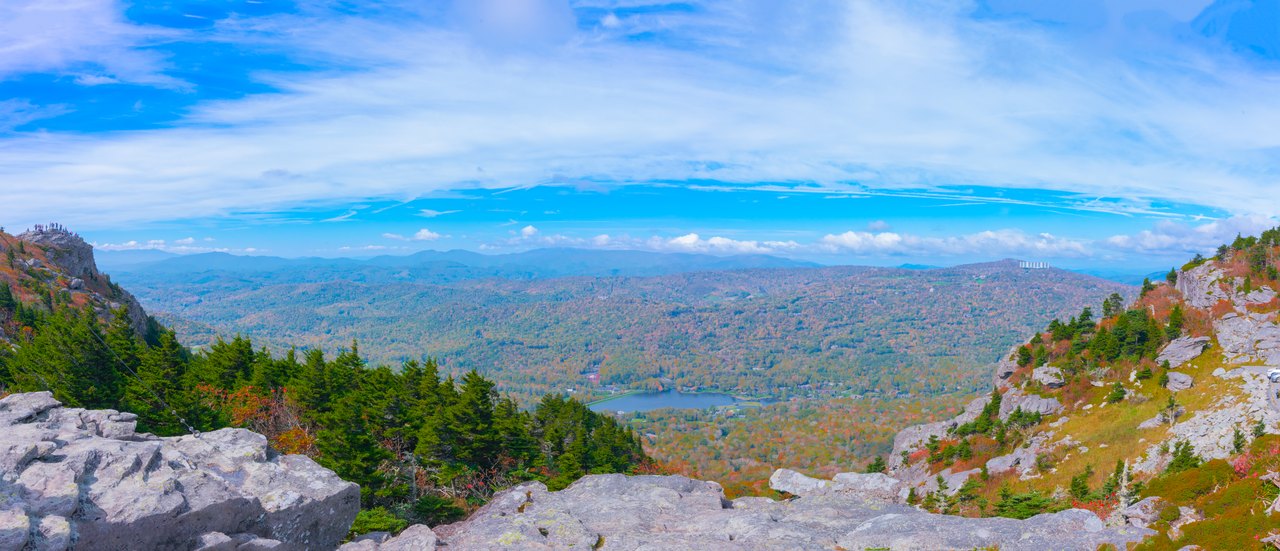
A paved road climbs from the entrance gate to Linville Peak, where the museum and the swinging bridge stand close together. The crossing itself is short but exposed to wind, so a layer against the cold is worth carrying even in summer, when conditions lower down the mountain can feel entirely different.
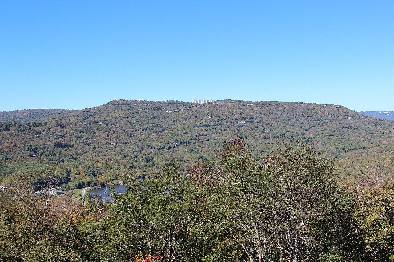
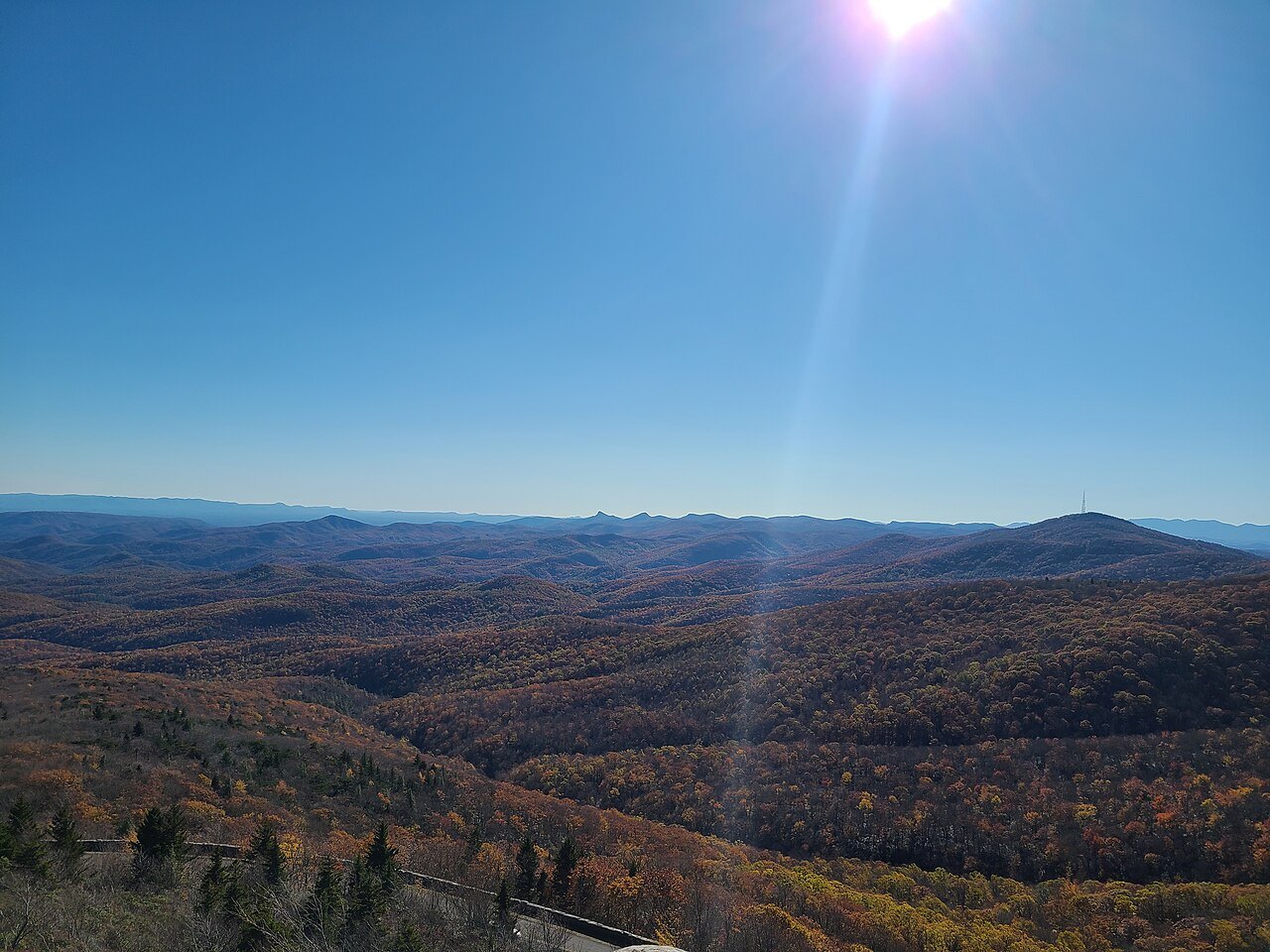
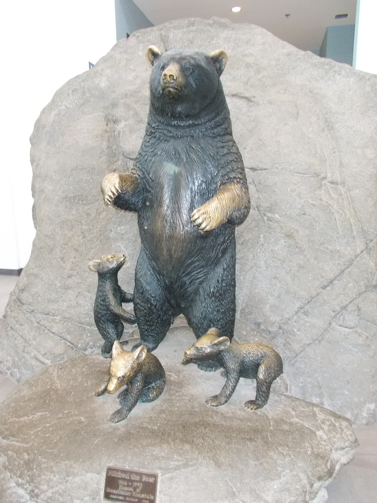
On a clear day the view from the peak reaches roughly one hundred miles, far enough that the skyline of Charlotte can sometimes be picked out to the southeast. The drive up passes picnic areas and habitats built for native animals, including black bears, before the road ends near the summit.
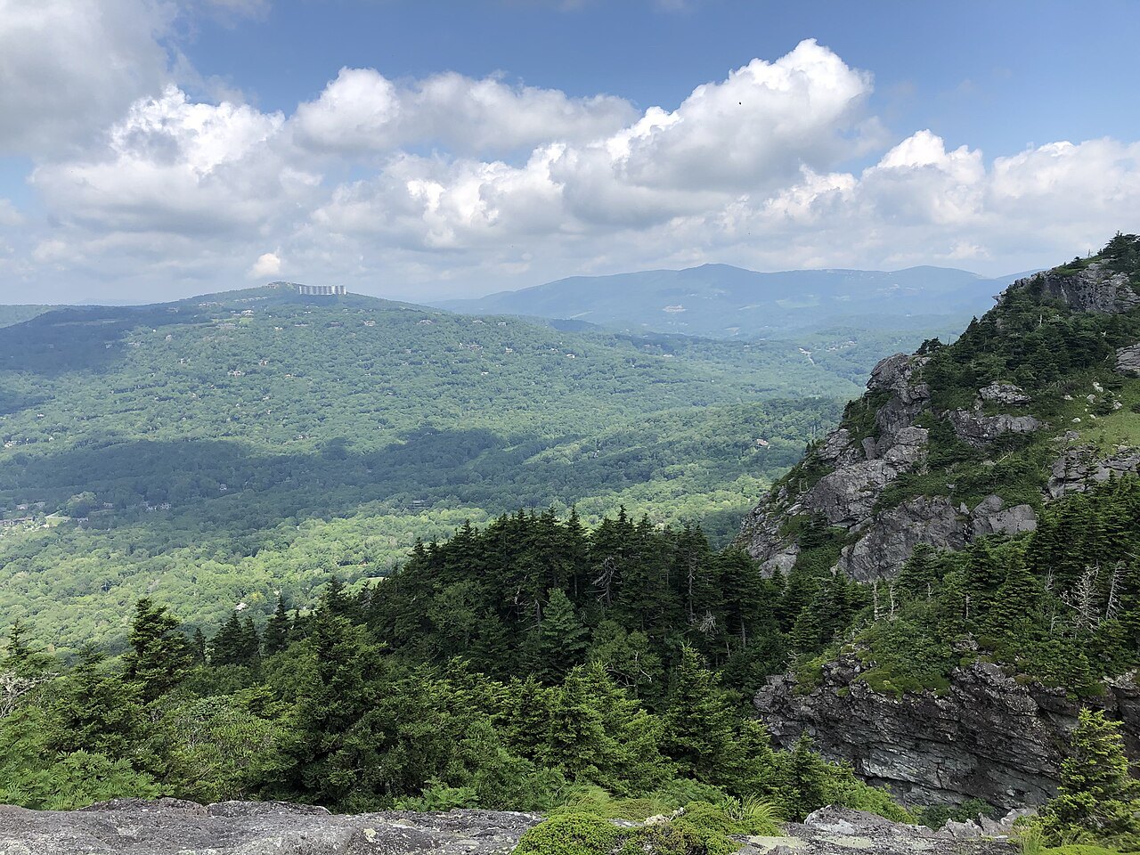
Each year the foot of the mountain hosts the Grandfather Mountain Highland Games, one of the largest Scottish gatherings in North America, with bagpipes, athletic competitions and kilted clans. Organizers say more Scottish family lines are represented there than at any other gathering on the continent, drawing visitors well beyond those with Scottish ancestry.
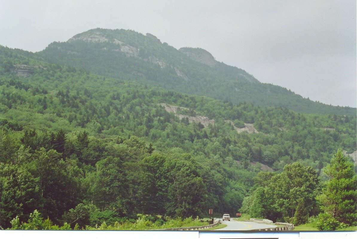
The Linn Cove Viaduct
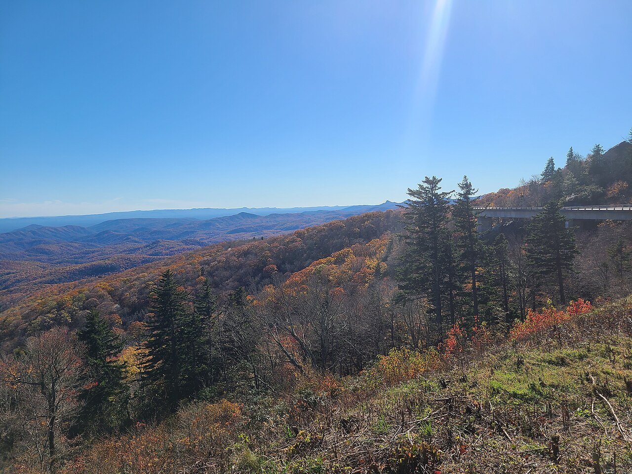
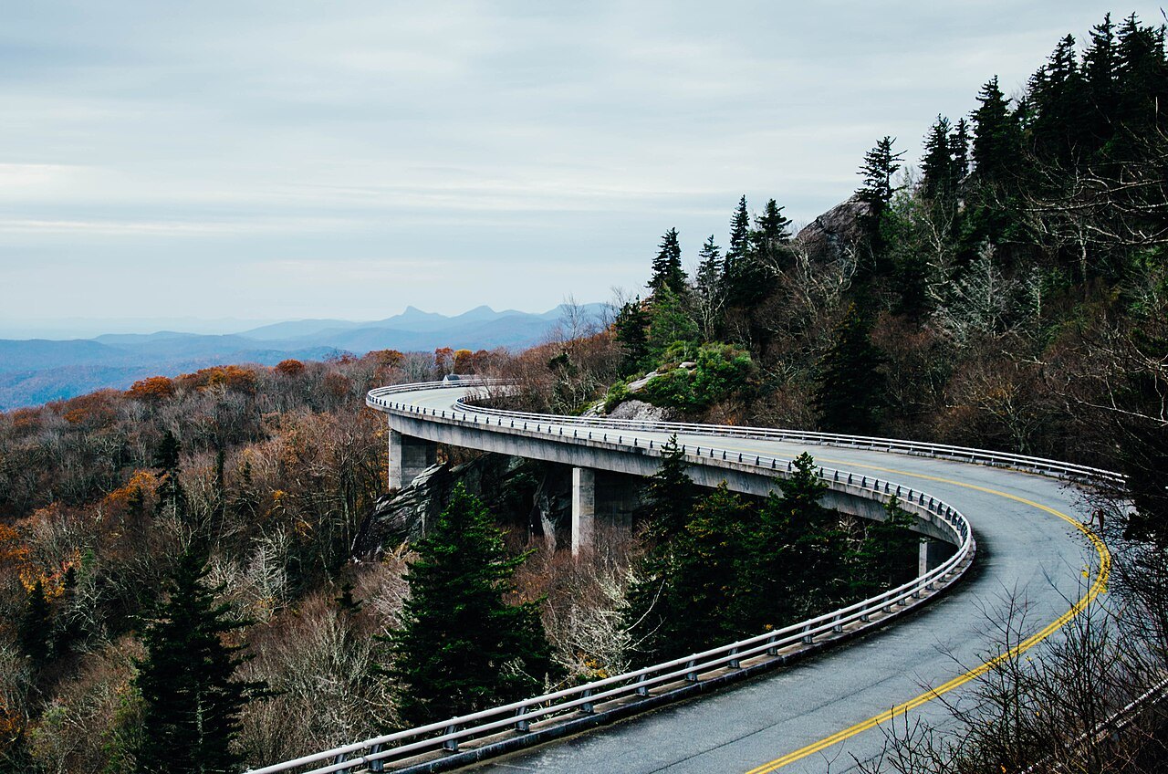
A different question hangs over the mountain nearby: how the Blue Ridge Parkway gets around Grandfather Mountain at all without scarring one of the oldest and most rugged peaks on the continent. When the Parkway was planned in the nineteen thirties, conservationists pushed for a bridge instead of a cut-and-fill road, and the Linn Cove Viaduct was the eventual answer.
Construction began in 1979 on a design by Figg and Muller Engineers. The viaduct runs one thousand two hundred forty-three feet long and just under forty feet wide, carried on seven piers, with one hundred fifty-three precast segments built from the south end outward by a crane that traveled along the finished deck as it grew.
The viaduct opened in 1983 and won a national design award the following year; the Parkway did not carry through traffic until 1987, once the surrounding land was finally secured. A National Park Service visitor center at the south end has a small exhibit on the construction and marks the start of the Tanawha Trail, which passes under and beside the structure.
How to visit
The swinging bridge and the viaduct sit on two different pieces of the mountain, so it helps to decide which one is the goal before setting out. For the bridge and museum, take the Grandfather Mountain Entrance Road near Linville, reached from Blowing Rock by eighteen miles on US 221; admission is charged at the main gate.
Parts of the attraction close in poor weather during late fall, winter and early spring, so check conditions with the attraction before driving up, especially if snow or high wind is forecast. For the viaduct alone, drive the Blue Ridge Parkway between Blowing Rock and Linville and stop at the Linn Cove Visitor Center.
The backcountry side of the mountain, reached mostly on foot rather than by car, pairs naturally with a stop at Linville Gorge a little farther south on the Parkway, and both combine well with a night in Blowing Rock or Boone; see Where to Stay for options in either town.
In winter, when sections of the Parkway may be closed, the east-side trails can still be reached by the Asutsi Trail, which starts at Serenity Farm on Highway 221; check current road and trail conditions with the National Park Service or the state transportation department before setting out, since conditions can change quickly at this elevation.