BLUE RIDGE PARKWAY WINTER CLOSURES
Why does the Blue Ridge Parkway close in winter?
Photographs: PBarn424, Wikimedia Commons, CC BY-SA 4.0 · Der Berzerker from Washington, DC, USA, Wikimedia Commons, CC BY 2.0 · Michael Barera, Wikimedia Commons, CC BY-SA 4.0
The Journal · The Blue Ridge Parkway
Why elevation, ice and limited de-icing close stretches of the Blue Ridge Parkway each winter, and how to check before driving.
A Road Built Along the Weather
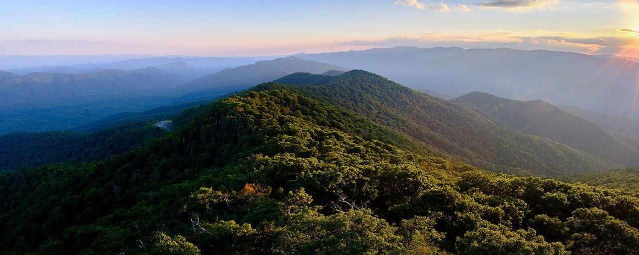
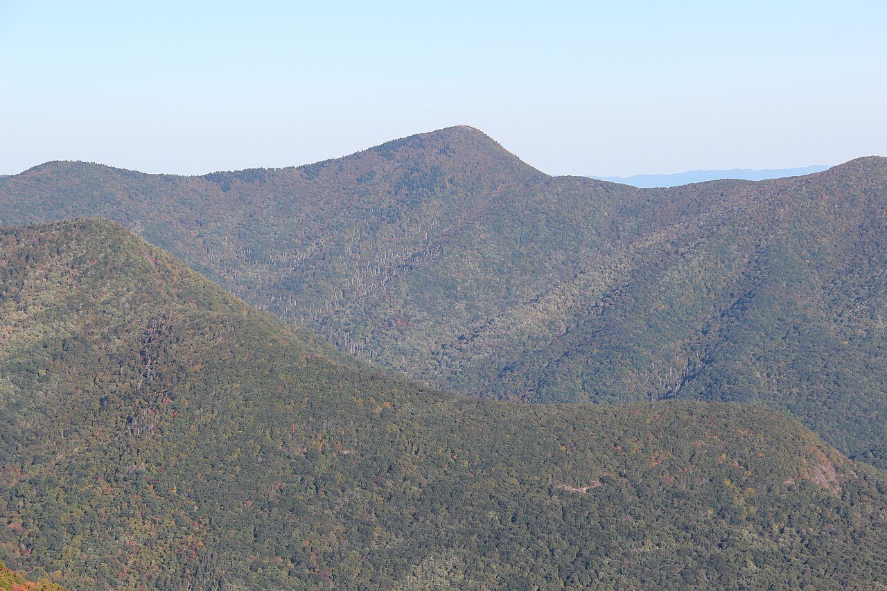
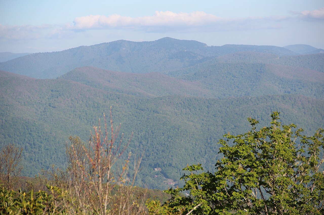
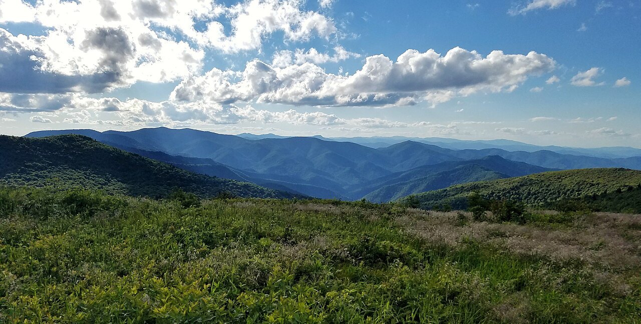
The Blue Ridge Parkway follows the spine of the Blue Ridge for most of its four hundred sixty-nine miles, and in North Carolina it climbs well above the valleys it overlooks. Much of the road sits high enough to be colder, wetter and windier than the towns below, so a mild day in Asheville or Blowing Rock can mean ice higher on the ridge. That gap in climate is the underlying reason the Parkway needs special winter handling. More on the seasonal pattern appears in When to Come.
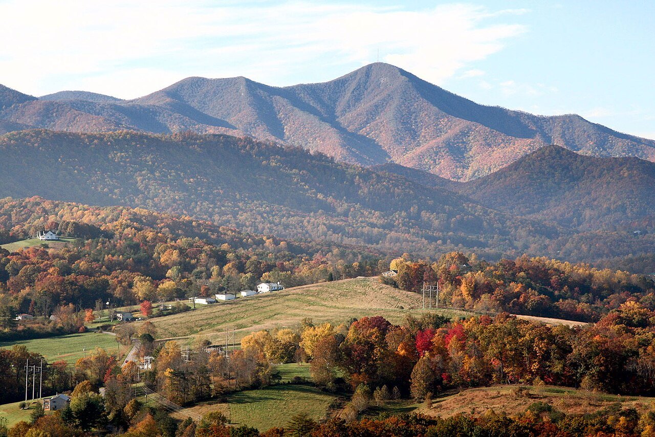
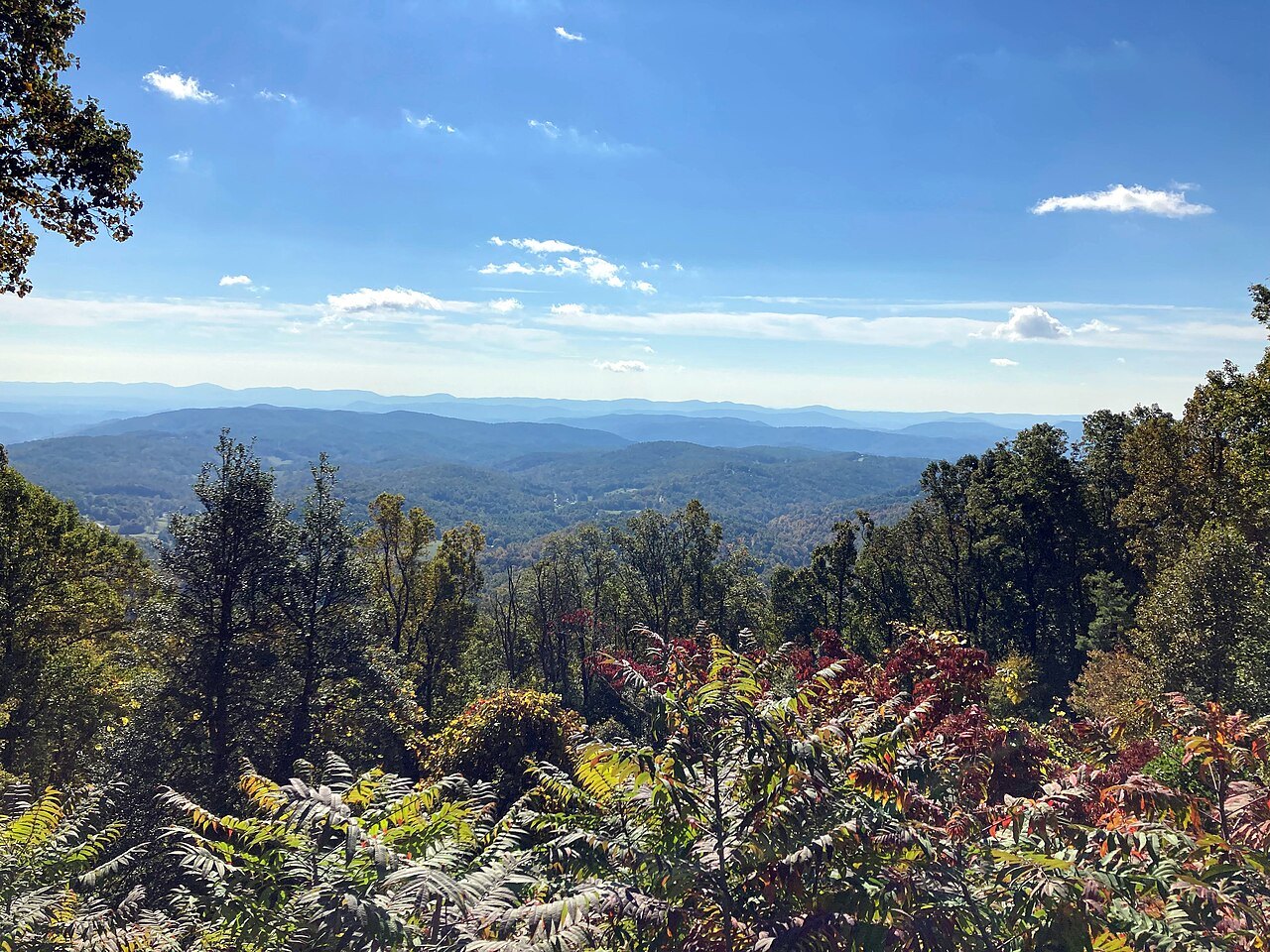
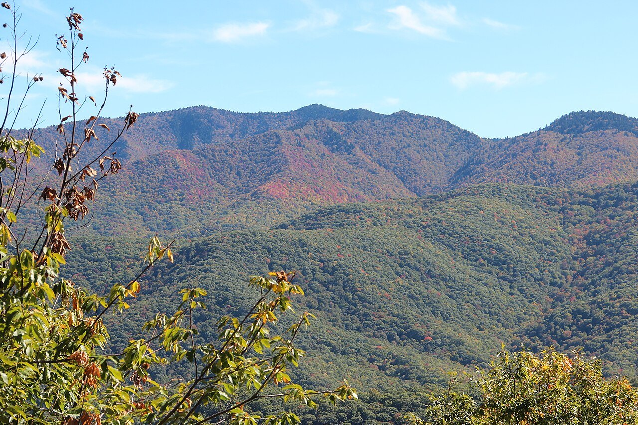
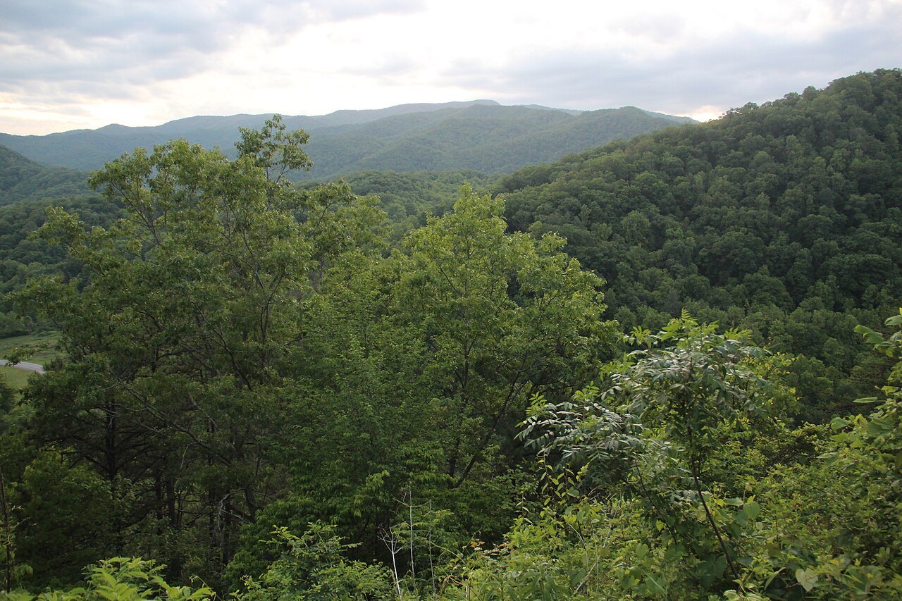
Spring and autumn show the same elevation effect in gentler form. Rhododendrons and dogwoods bloom from the valleys upward, reaching the highest overlooks last, while autumn color starts on the mountaintops in September and works down to the valley floors by late October. In early and middle October, a traveler can look down from a bare, cold overlook onto a valley that is still green. Winter extends that same contrast into something that affects the road surface rather than the leaves.
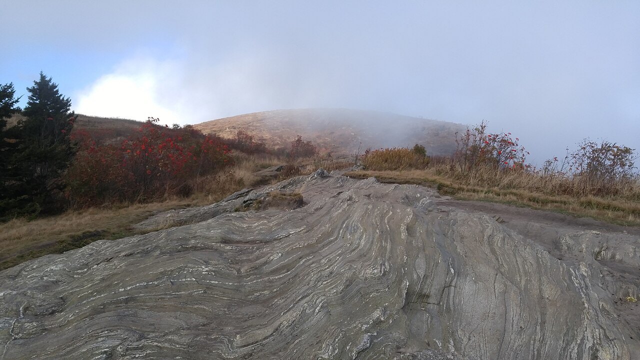
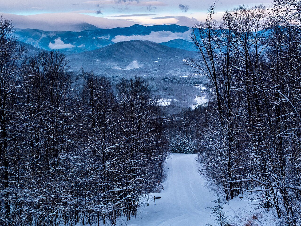
Near the mountain gaps, trees stand visibly bent by the wind that funnels through them, a shape built up over many winters of exposure. In cold months the same wind coats branches and guardrails with rime ice, a feathery coating that forms when fog freezes on contact. It is a striking sight from a parked car, but it is also a sign that the pavement can carry ice long after a valley road nearby has cleared.
Why the Park Service Limits Salt
Managing ice on an isolated mountain road built for scenery differs from managing it on an interstate built for speed. The National Park Service limits the chemicals it uses to treat ice on the Parkway, keeping winter maintenance closer to what a park road receives than what a state highway would get. That restraint protects the roadside plantings and stonework the Parkway was built to showcase, but it also means that ice on a given stretch can take considerably longer to clear.
The Parkway's twenty-six tunnels complicate matters further. Twenty-five of them are in North Carolina, cut through ridgelines that run across the road rather than along it, since a tunnel spared the surrounding slope the scarring a cut through the rock would leave. Their portals and the curves leading into them stay shaded for much of the day in winter, so ice tends to linger there well after sunnier stretches have dried.
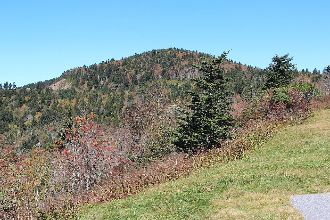
High, exposed passes carry a similar problem without any tunnel involved. A stretch near the crest, with little sun and more wind, holds ice and snow longer than a sheltered curve lower down. These shaded and high-elevation stretches are the ones most often affected through the colder months, for reasons built into the geography rather than any single storm.
A Pattern, Not a Fixed Schedule
The Parkway, as a rule, does not receive the winter maintenance a state highway does. Stretches over high ground and near the tunnels are the ones most often affected from late fall into early spring, and because the National Park Service limits de-icing chemicals, some of those stretches stay affected for long periods rather than clearing after a single storm passes through.
This is a deliberate trade-off rather than an oversight. The Parkway was designed from the outset as a scenic route built for slow travel between overlooks, not a commuter corridor, and its winter handling follows the same logic: protecting the landscape and keeping drivers safe matters more than keeping every mile usable in every season.
The practical result is that the exact stretches affected shift from week to week and from one winter to the next, depending on storms, temperature swings, and how quickly shaded curves and tunnel mouths clear. No single date marks the start or finish of this pattern across all four hundred sixty-nine miles, which is why checking conditions mile by mile matters more than checking a season on a calendar.
Checking Conditions Before You Go
Because the pattern shifts through the season, the most useful step before a cold-weather trip is to check the National Park Service's road status page for the Parkway. It lists conditions by milepost rather than describing the entire road as a single line, which matters on a route where one shaded curve can differ from an overlook only a few miles away.
Keep a valley road in mind as a backup. A short stretch affected by ice does not always come with a signed detour, so a traveler planning to follow the crest from Blowing Rock toward Linville, or from Asheville toward Mount Pisgah, should know the parallel route in the valley below before setting out rather than discovering the need for one at a barrier.
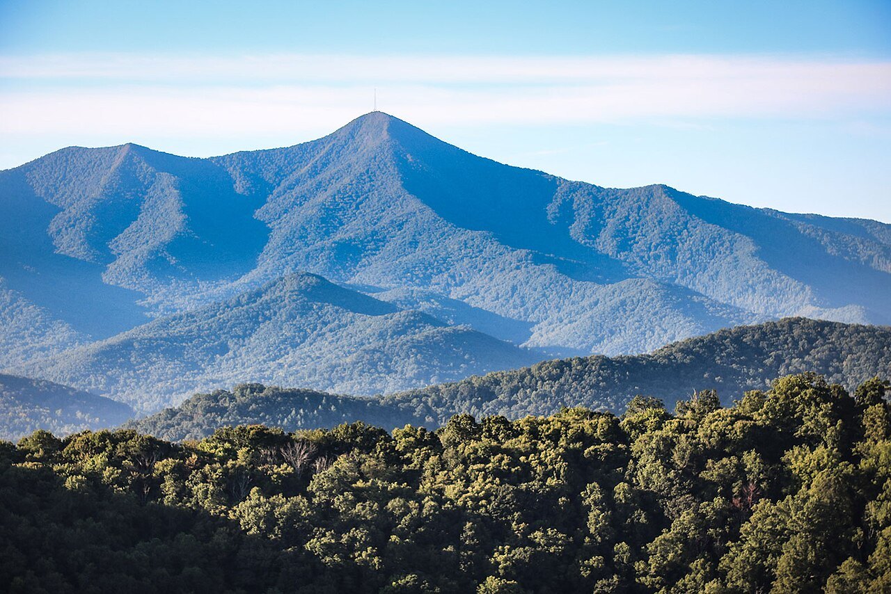
It also helps to enter the Parkway at the section wanted rather than planning to drive it end to end, especially in winter. The Grandfather and Linville stretch is best reached from Blowing Rock, the high country around Craggy Gardens and Mount Pisgah from Asheville, and the southern end from Cherokee. Starting from the nearest town limits how much of a trip depends on any one uncertain stretch of road.
Storms Add Another Variable
Storm damage adds a second layer of uncertainty on top of the seasonal one. Hurricane Helene struck the region in 2024 and affected long stretches of the Parkway, and recovery from a storm of that scale can take far longer than clearing ice from a single overlook. A traveler planning a drive in the colder months should treat storm effects and seasonal weather as two separate questions, not assume that one explains the other.
The way to find out which stretches are affected by either cause on a given day is the same road status page mentioned above, since it lists conditions by milepost rather than describing the whole Parkway at once. For a drive planned around a specific overlook or tunnel, that level of detail matters more than a general sense of the season.
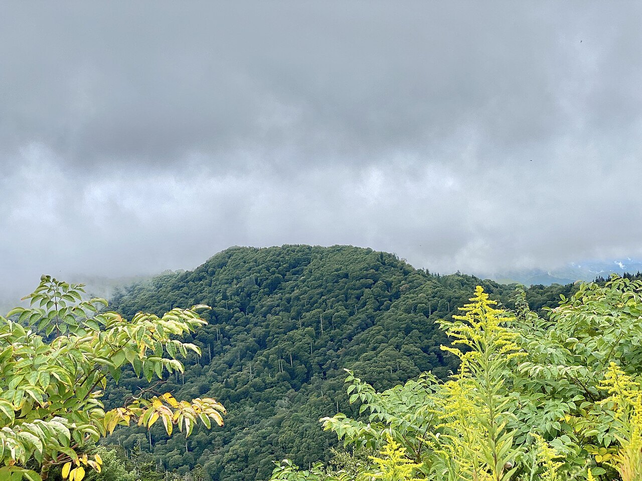
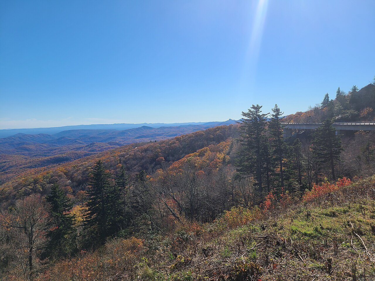
The Linn Cove Viaduct, which carries the road around Grandfather Mountain, is a reminder of how long work on this particular road can take: it closed the final gap in the Parkway for decades before finally opening in 1987. Storm and winter effects are smaller in scale, but the same patience with the timeline is often useful. Grandfather Mountain has more on the viaduct and the terrain it crosses.
Planning a Visit Despite the Weather
None of this rules out a cold-season visit. Lower stretches of the Parkway, away from the highest passes and tunnels, often stay usable through winter, and a trip built around one of those stretches, together with a valley road as backup, can still deliver the overlooks and rhododendron-lined curves the Parkway is known for in other seasons.
The safer approach is to treat the Parkway as a series of separate drives for the season rather than one continuous road. Choose the section nearest a base such as Asheville or Blowing Rock, check the milepost-by-milepost conditions with the National Park Service before setting out, and keep a valley highway in mind as the way home if conditions change during the day.
Whatever the time of year, the Parkway rewards a slow pace rather than a race to cover distance. Its curves, overlooks and the elevation that make it worth driving are the same elevation that makes it vulnerable to ice, and planning around that trade-off, rather than against it, is the simplest way to make the most of a winter or early-spring trip.