PACE OF THE PARKWAY
How long does it take to drive the Blue Ridge Parkway in North Carolina?
Photographs: w_lemay, Wikimedia Commons, CC BY-SA 2.0 · Der Berzerker from Washington, DC, USA, Wikimedia Commons, CC BY 2.0 · Michael Barera, Wikimedia Commons, CC BY-SA 4.0
The Journal · The Blue Ridge Parkway
A practical look at how far the Blue Ridge Parkway runs in North Carolina and what sets the pace of a drive.
How Long Is the North Carolina Stretch?
The Blue Ridge Parkway runs four hundred sixty-nine miles in all, through twenty-nine counties in Virginia and North Carolina, linking Shenandoah National Park to the Great Smoky Mountains on the North Carolina side. It is the longest linear park in the United States, and most of what draws visitors sits inside North Carolina.
The road crosses into North Carolina at milepost two hundred seventeen and continues to milepost four hundred sixty-nine at Oconaluftee, beside the Qualla Boundary of the Eastern Band of Cherokee Indians. That stretch covers two hundred fifty-two miles, more than half the entire Parkway, inside a single state, and holds nearly everything described on this page.
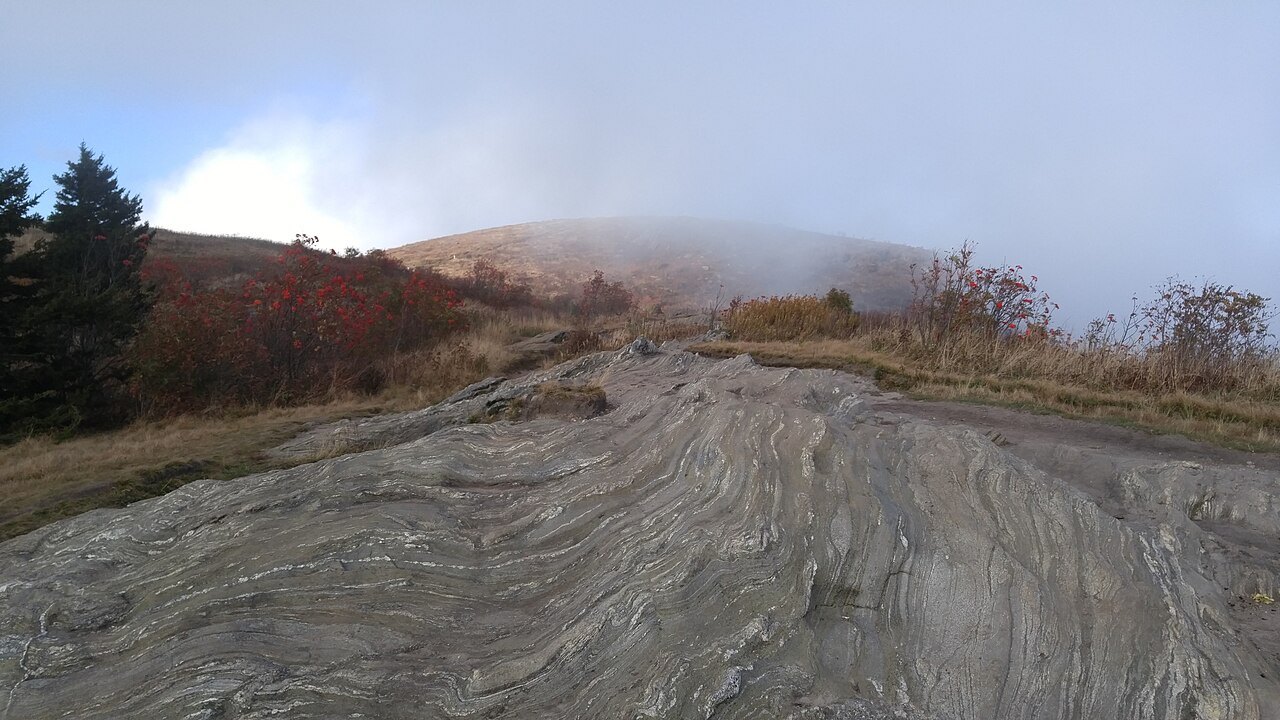
No single figure answers how long that takes to drive, because the road was never built for a fast answer. Treat any estimate as a starting point rather than a schedule, and build in extra time for stops, since the overlooks and pull-offs are part of the point of the drive, not a detour from it.
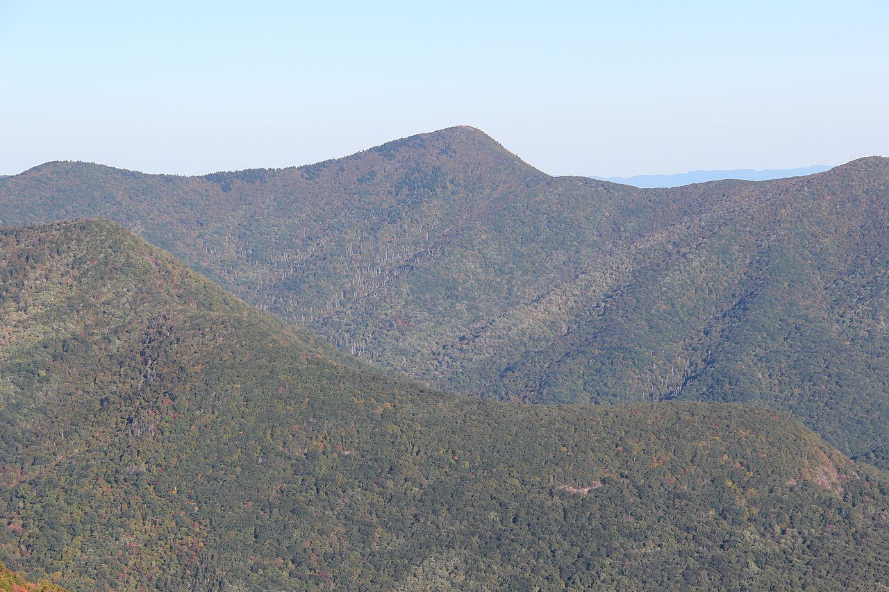
How the Road Came to North Carolina
The project began under President Franklin D. Roosevelt as the Appalachian Scenic Highway. The panel that studied the route recommended turning west into Tennessee at Linville, but Josephus Daniels, Roosevelt's old superior at the Navy Department, persuaded Interior Secretary Harold Ickes to keep the road inside North Carolina instead of sending it west.
A documentary on the Parkway instead credits Congressman Robert Doughton with keeping the route in the state; Doughton Park, near the Virginia line, carries his name today. Work on the road began on September eleven, 1935, near Cumberland Knob, and Congress placed the project under the National Park Service in 1936.
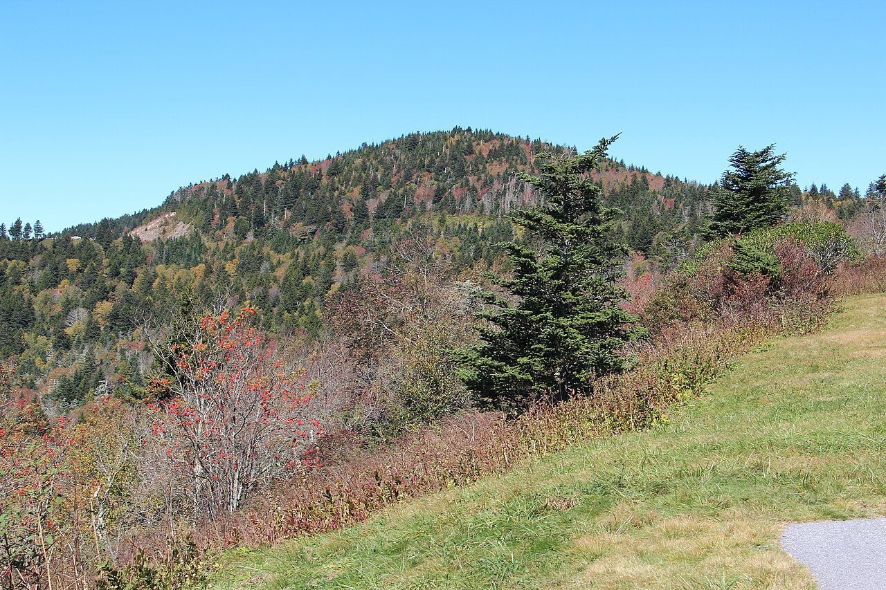
Private contractors built most of the roadbed, while New Deal crews handled the landscaping and Civilian Conservation Corps camps graded slopes and planted the roadsides by hand. The road displaced many families along its route and brought new rules for the farmers who remained on land beside it once the road opened.
The Eastern Band of Cherokee Indians resisted giving up the right-of-way through the Qualla Boundary from 1935 to 1940, and won better terms, including a regular highway through the Soco Valley. Cherokee leaders took part in the dedications when those sections of the Parkway opened in the 1950s, decades after work began.
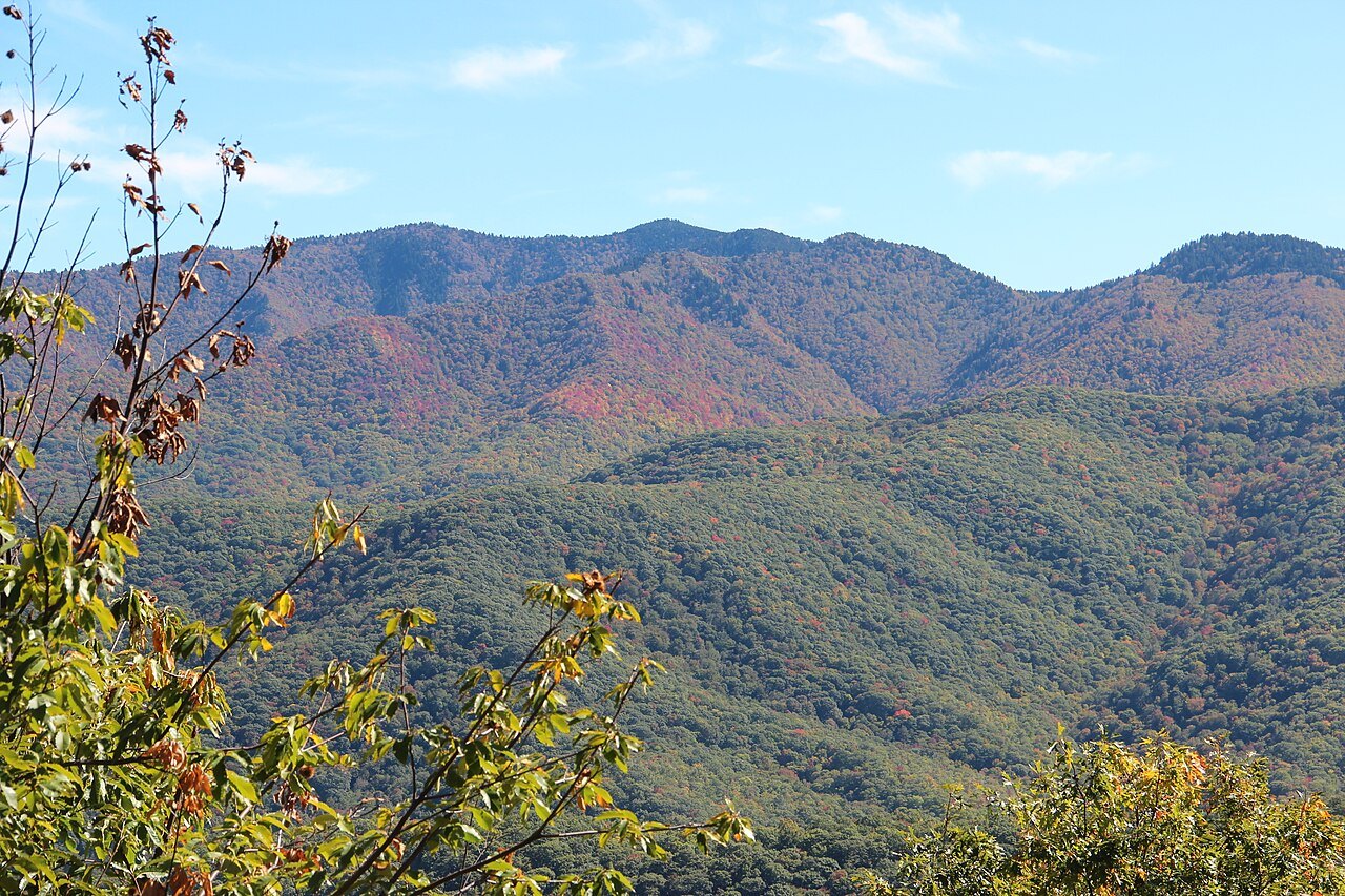
A Road Designed to Be Slow, Not Fast
The Parkway was built so that the road and its views would be the destination, not a quick route between towns. Long-haul traffic was meant to stay on the highways that run parallel in the valleys below, leaving the ridge road free for a slower kind of travel to follow.
That design has made the Parkway the most visited unit of the National Park System in nearly every year since 1946, missing the top spot in only four of those years. The road's purpose was never speed, and its popularity has only reinforced the slow pace it was designed to keep.
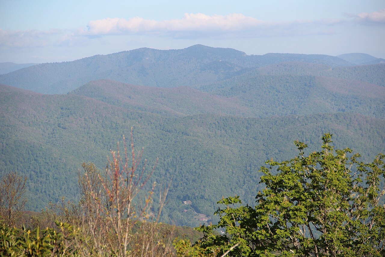
Heavy use at the overlooks and in the curves can add real time to a drive, especially where a view draws cars off the road and back on again. Expect to share the road with cars that stop often rather than drive straight through, particularly near well-known landmarks and summit overlooks.
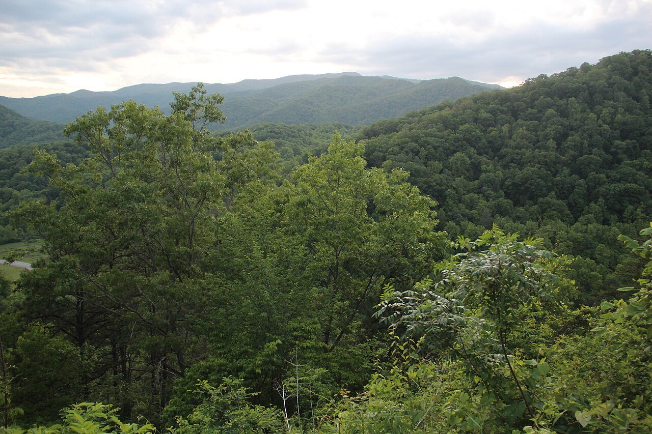
The Landmarks That Set the Pace
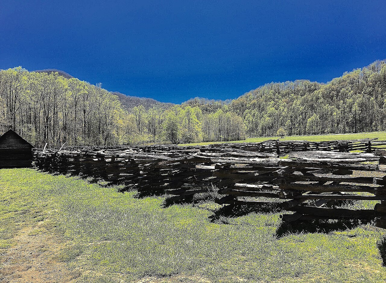
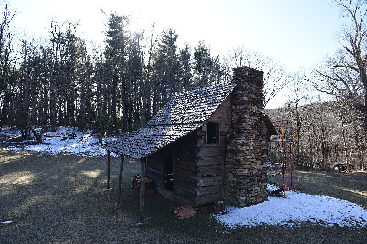
From the state line, the first miles are gentle: Cumberland Knob, at two thousand eight hundred eighty-five feet, is where construction began, and Brinegar Cabin, built around 1880 and lived in until the 1930s, still stands near Doughton Park, which runs from milepost two hundred thirty-eight to two hundred forty-four.
Further south, Moses H. Cone Memorial Park holds Flat Top Manor and the Parkway Craft Center, and Julian Price Memorial Park has forty-seven-acre Price Lake, the only lake on the Parkway where paddling is allowed. Both parks invite a stop rather than a quick drive-through on the way further south.
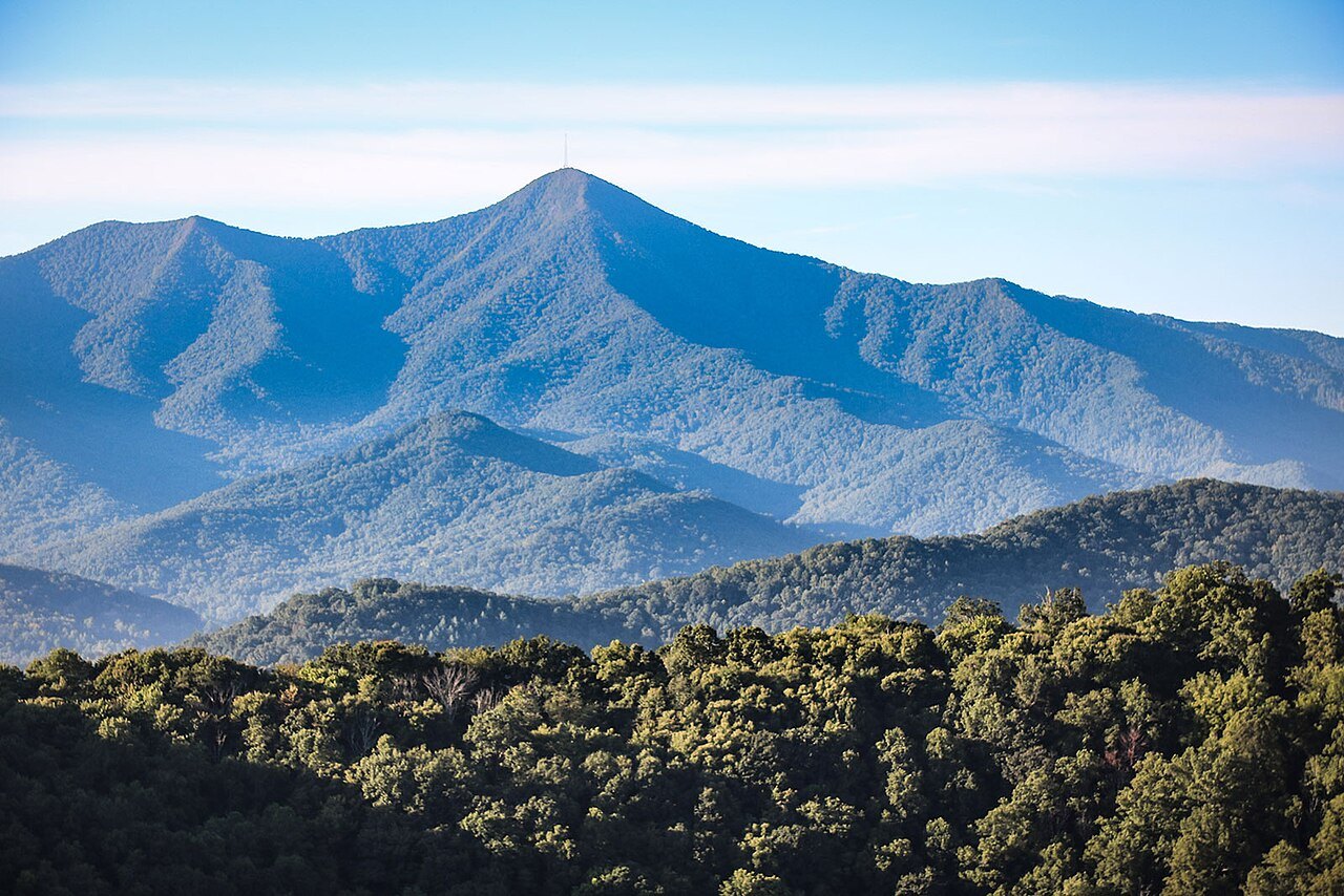
Near milepost three hundred sixteen, trails at the Linville Falls Recreation Area lead to overlooks of the falls and Linville Gorge below, a detour worth real time on foot. The Museum of North Carolina Minerals sits at milepost three hundred thirty-one, with Crabtree Falls a few miles farther along the road.
A spur at milepost three hundred fifty-five climbs to Mount Mitchell, the highest point east of the Mississippi, adding a side trip beyond the Parkway's own pace. Craggy Gardens, the Folk Art Center near Asheville, and Mount Pisgah follow, and Richland Balsam, at milepost four hundred thirty-one, is the highest point on the entire road, at six thousand fifty-three feet.
Tunnels and the Long Road Around Grandfather Mountain
Of the Parkway's twenty-six tunnels, twenty-five are in North Carolina, where ridgelines cross the road's path directly. They were used instead of open cuts to spare the landscape, and much of the digging in the 1930s was done by hand by Civilian Conservation Corps crews, using drills and dynamite for the rock.
The Pine Mountain Tunnel is the longest, at one thousand four hundred thirty-four feet, and each tunnel narrows the road and calls for headlights and extra caution, which slows traffic by design. The stone portals seen at most of the tunnels today were mostly added after the original construction was finished.
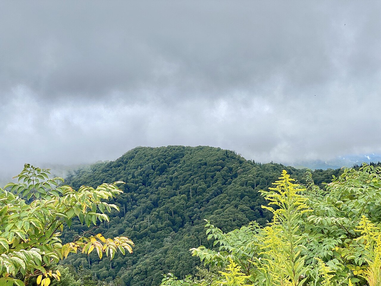
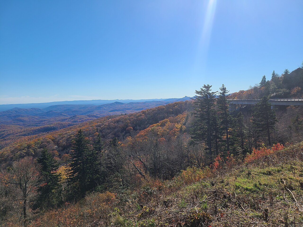
The single stretch that took longest to finish was the nearly eight miles around Grandfather Mountain. A cut-and-fill road there would have scarred the slope badly, so engineers built the Linn Cove Viaduct instead, a one thousand two hundred forty-three-foot concrete bridge that curves around the mountain rather than cutting through it.
It opened in 1987, more than fifty-two years after construction began near Cumberland Knob, and closed the last remaining gap in the entire Parkway. A visitor center at milepost three hundred four has a trail that runs underneath the viaduct, worth the extra time it takes to walk beneath it.
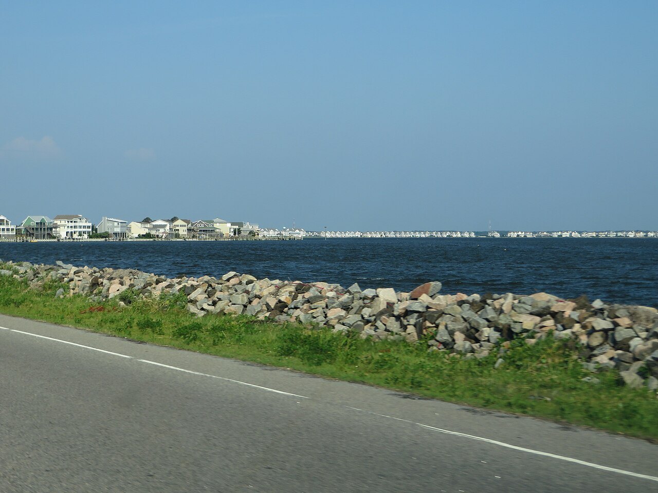
Weather, Season, and Elevation
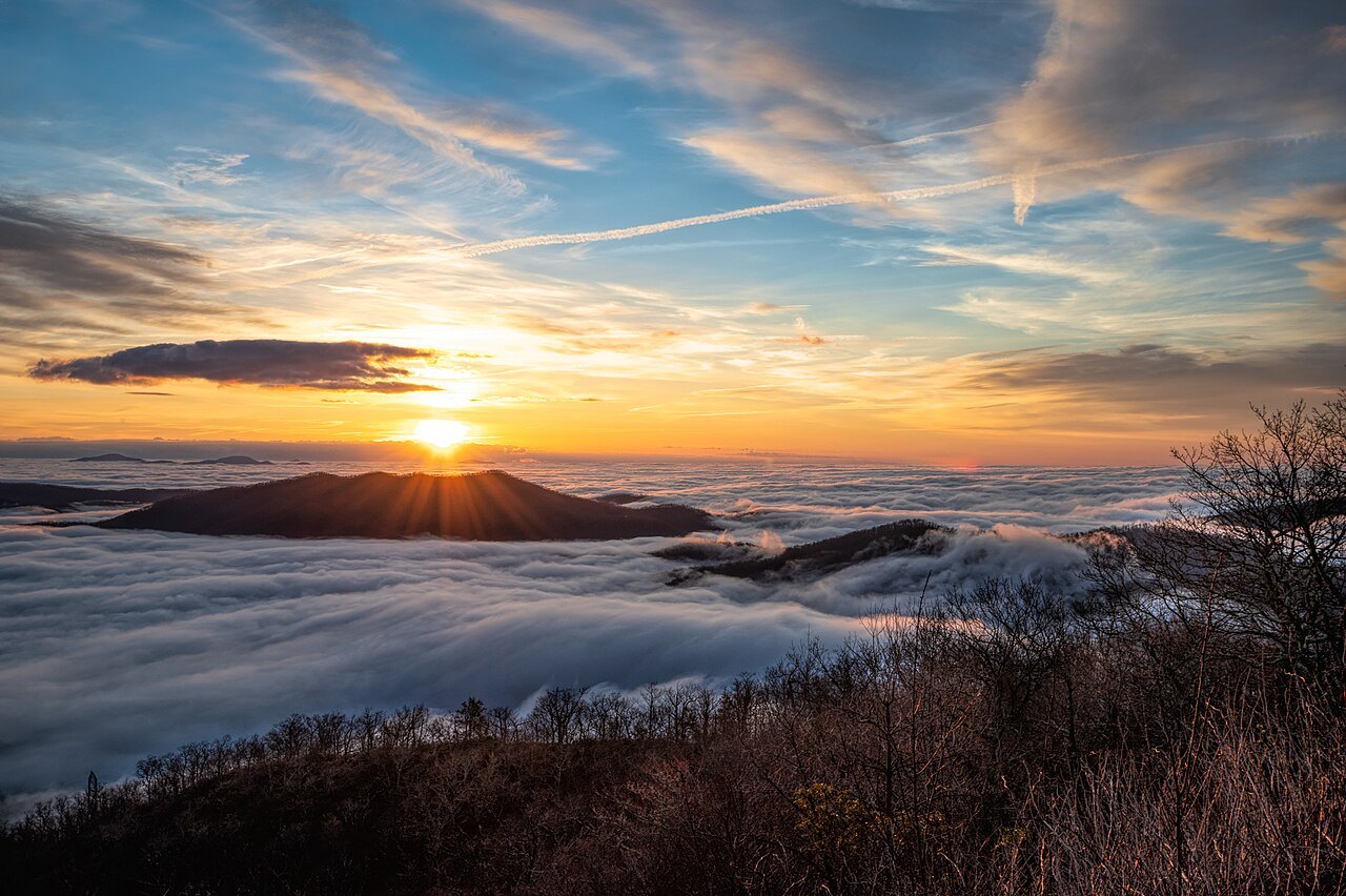
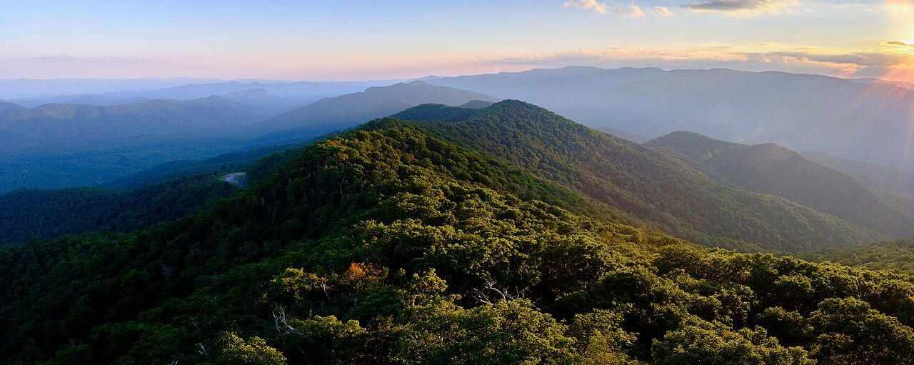
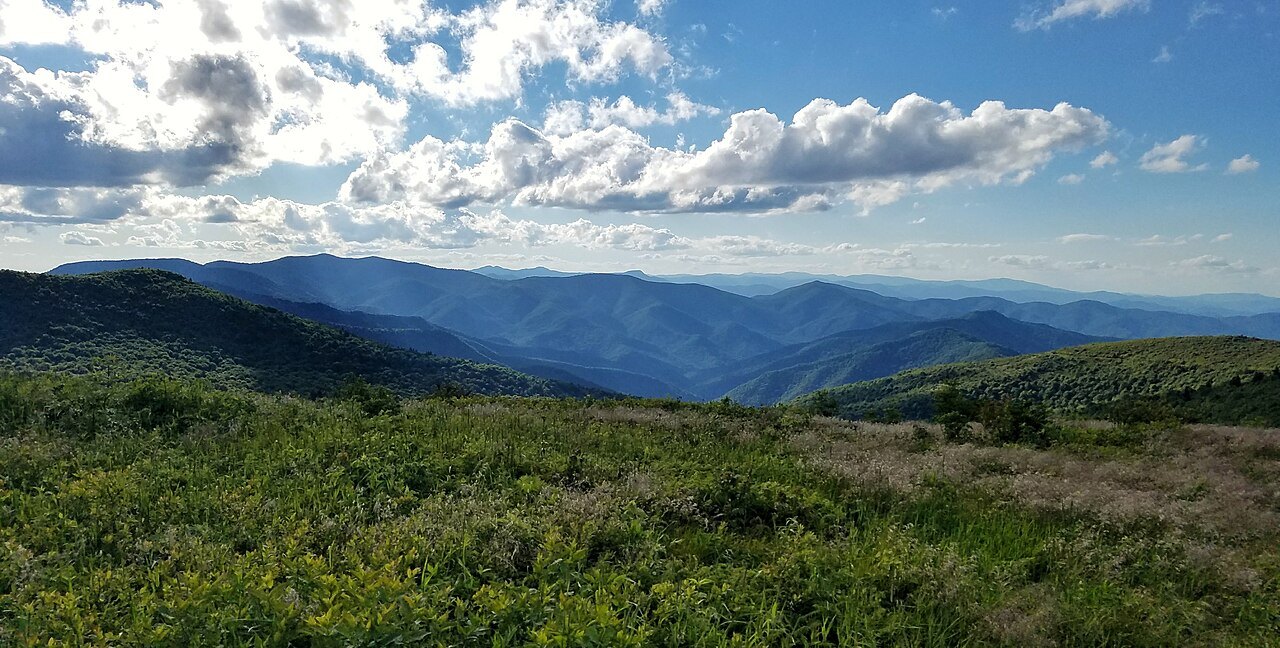
Much of the Parkway runs high above the valleys, and that elevation makes it colder, wetter, and windier than the roads below, which can slow a drive regardless of the mileage covered that day. In spring, rhododendron and dogwood bloom from the valleys upward, reaching the higher elevations later in the season.
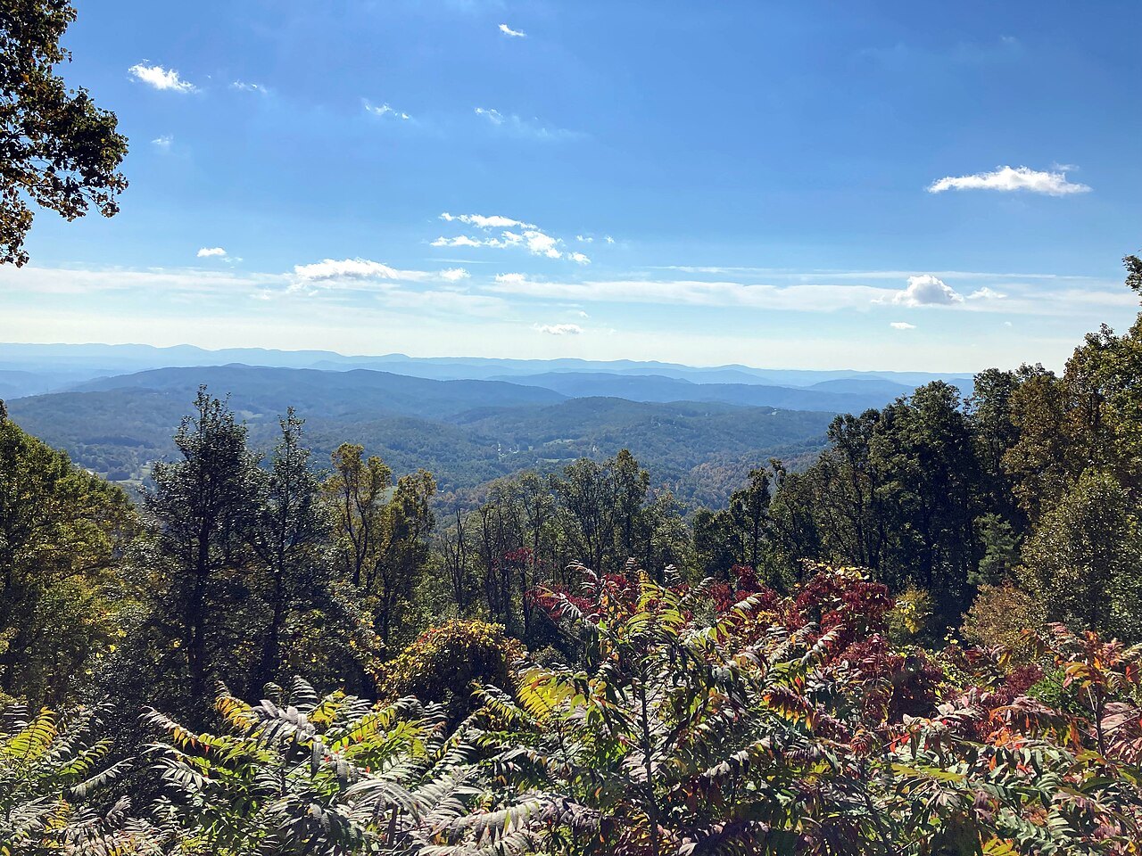
In autumn, color starts on the mountaintops later in September and works its way down to the valleys by later in October. In early to middle October, a cold overlook can look down on warm green valleys that are still waiting for the color to reach them farther down the mountain.
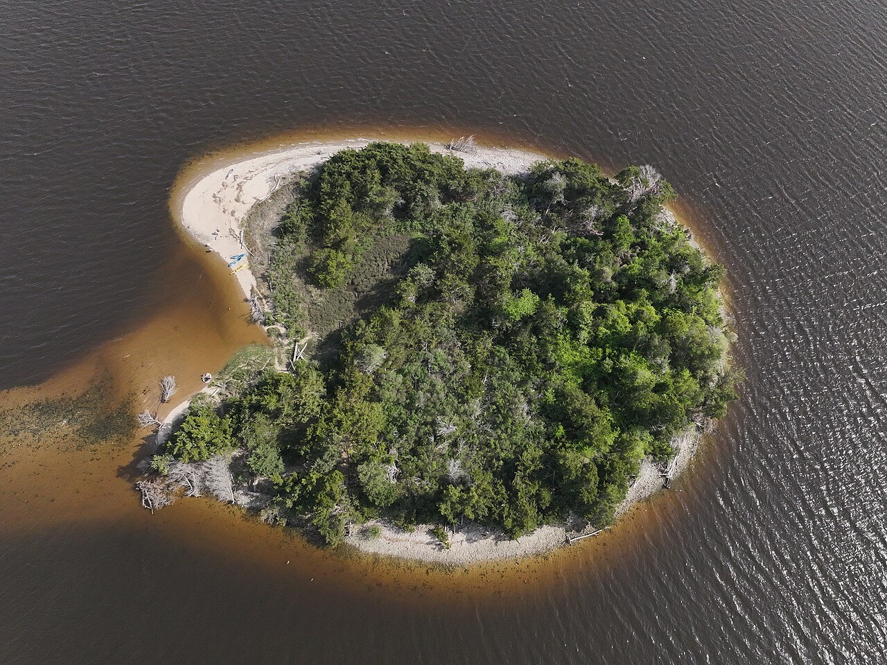
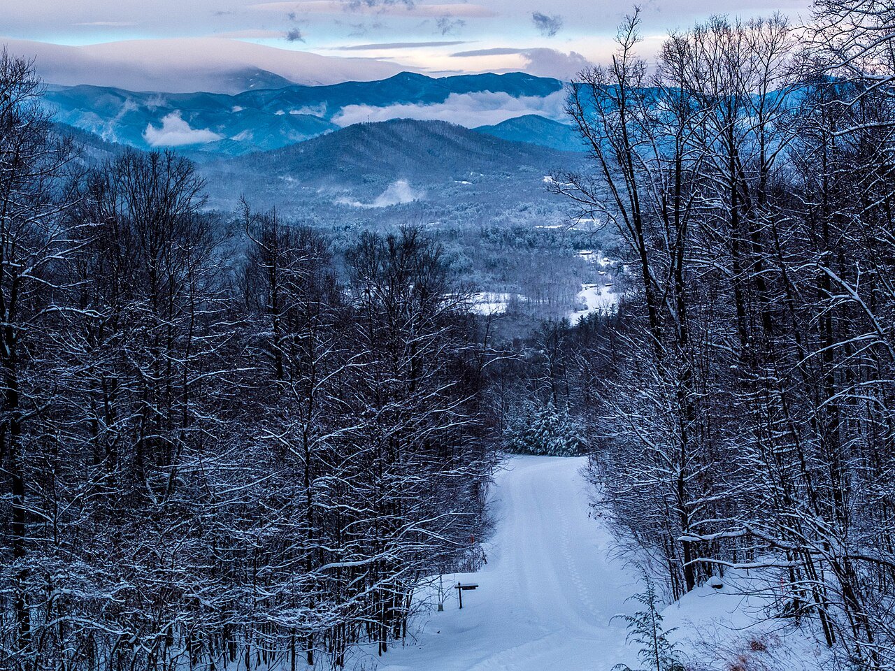
The road is not maintained through winter, and the Park Service limits the chemicals it uses against ice, so stretches over high ground and near the tunnels are often closed from late fall into early spring for long stretches. See When to Come for how the seasons shape a visit.
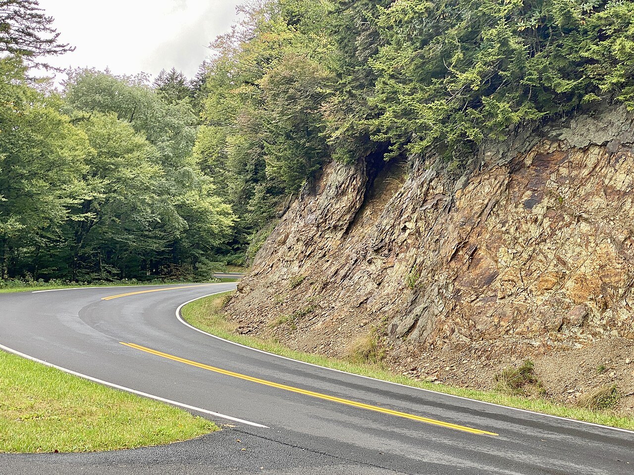
Planning Where to Start, Stop, and Check Conditions
Rather than attempting the whole North Carolina stretch in a single day, enter at the section that matches the trip: the Grandfather and Linville stretch from Blowing Rock, the high country from Asheville, and the southern end from Cherokee. Each section can be its own day, with time left over for the overlooks.
Hurricane Helene closed the entire Parkway in late September 2024; sections began reopening on October eleven, 2024, and some stayed closed well into 2025. Before setting a route, check the National Park Service's road status page for the Parkway, which lists closures by milepost along the full route each season.
Keep a valley road ready as a backup, since a short closure may not come with a signed detour of its own. Planning around confirmed openings, rather than an assumed one, is the most reliable way to judge how long any stretch of the drive will actually take on any given day.