THE HIGHEST POINT EAST OF THE MISSISSIPPI
How do you drive to the top of Mount Mitchell?
Photographs: jsphfrtz, Wikimedia Commons, CC BY 2.0 · Patrick Reynolds, Wikimedia Commons, CC BY-SA 4.0 · Thomson200, Wikimedia Commons, CC0
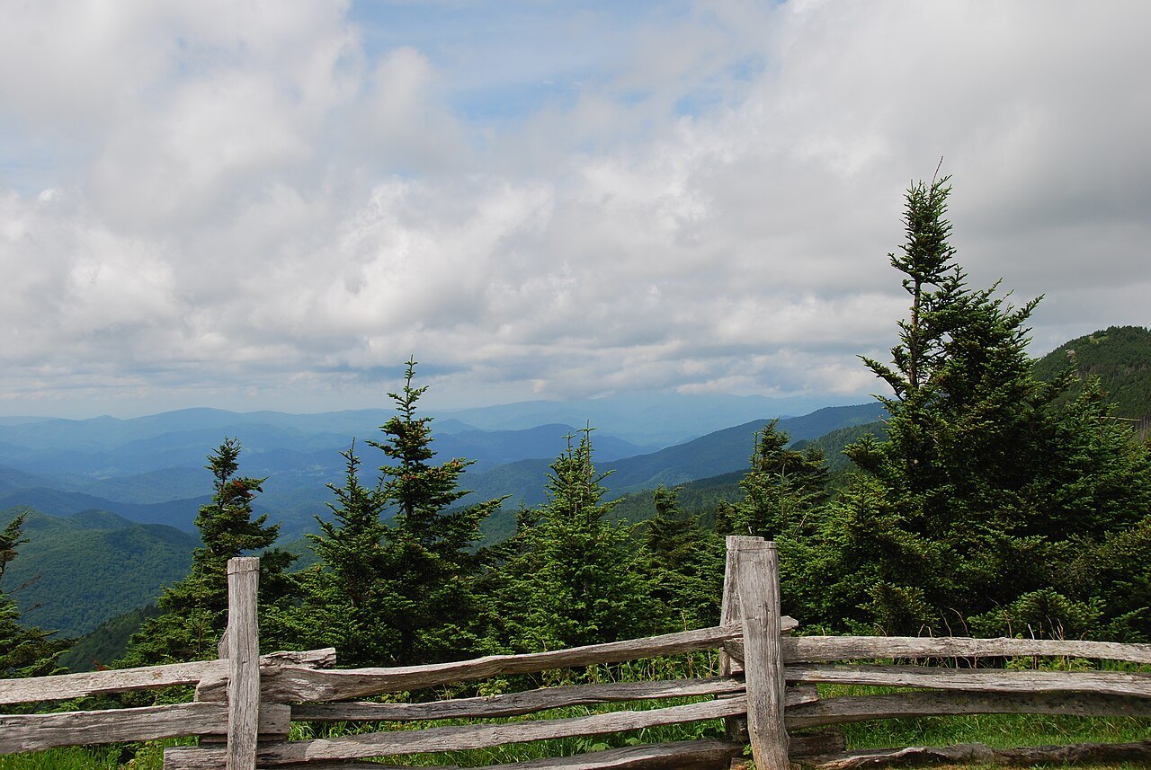
You can drive almost to the summit of the highest mountain in eastern North America, by way of the Blue Ridge Parkway and a short road to a parking lot below the top. The route, the last walk to the observation deck, the forest on the summit, and why the Parkway decides when you can go.
The short answer
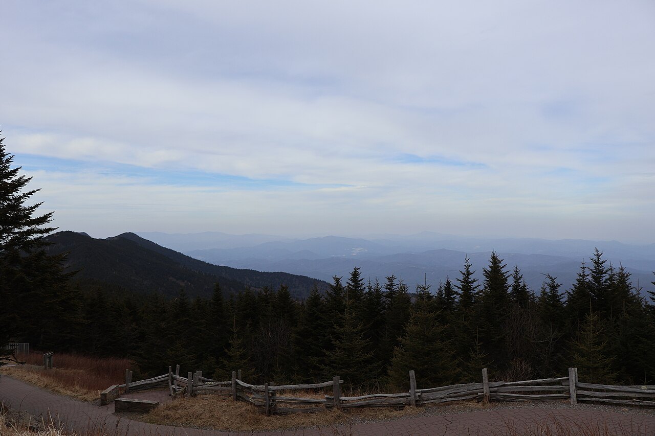
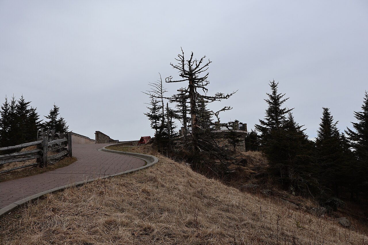
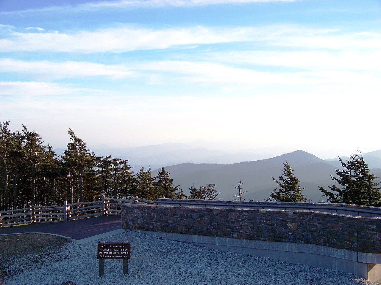
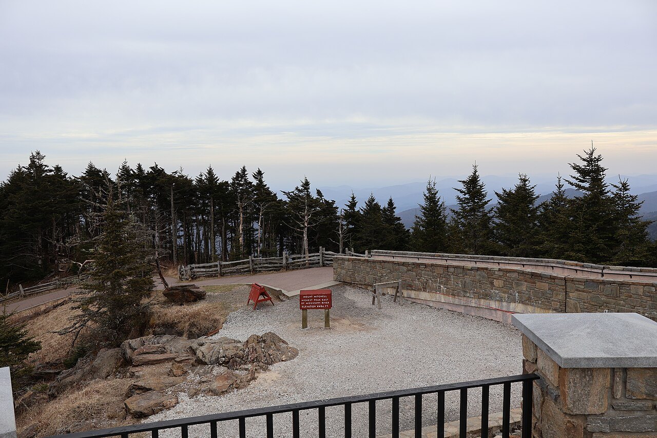
Take the Blue Ridge Parkway to its junction with NC 128, near Milepost 355, and follow NC 128 almost five miles uphill to the end of the road in Mount Mitchell State Park. From the parking lot, a steep paved path of about 980 feet climbs through the fir forest to the summit, 6,684 feet above the sea, and a raised observation deck with views all round.
NC 128 is the only road to the top, and it starts from the Parkway, so the Parkway decides when you can go. In winter its high sections are often closed, and after Hurricane Helene in 2024 the state park stayed shut for nearly a year while the roads were repaired, reopening in September 2025. Always look at the Parkway's and the park's own information before you set out.
The highest point in the East
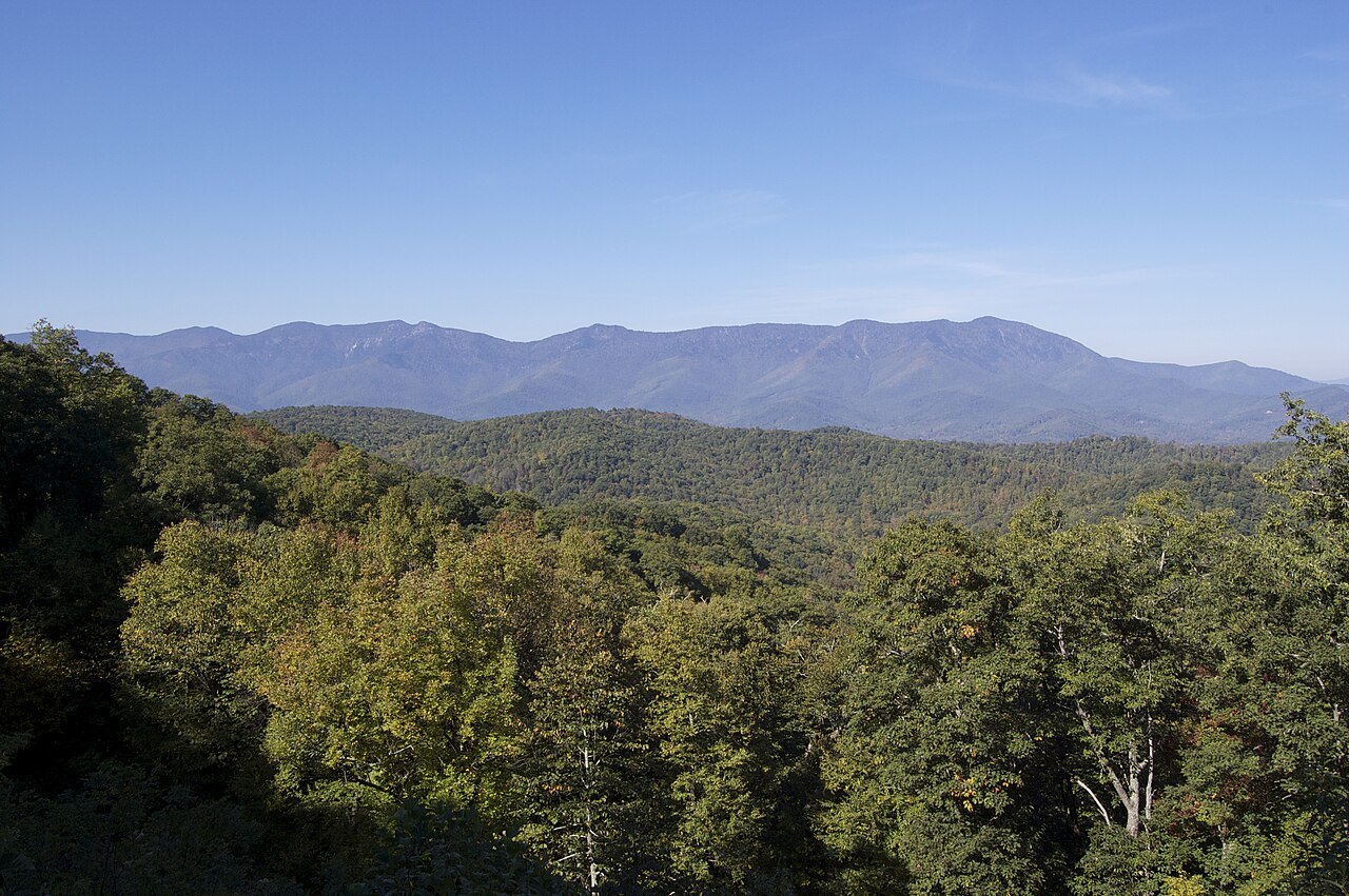
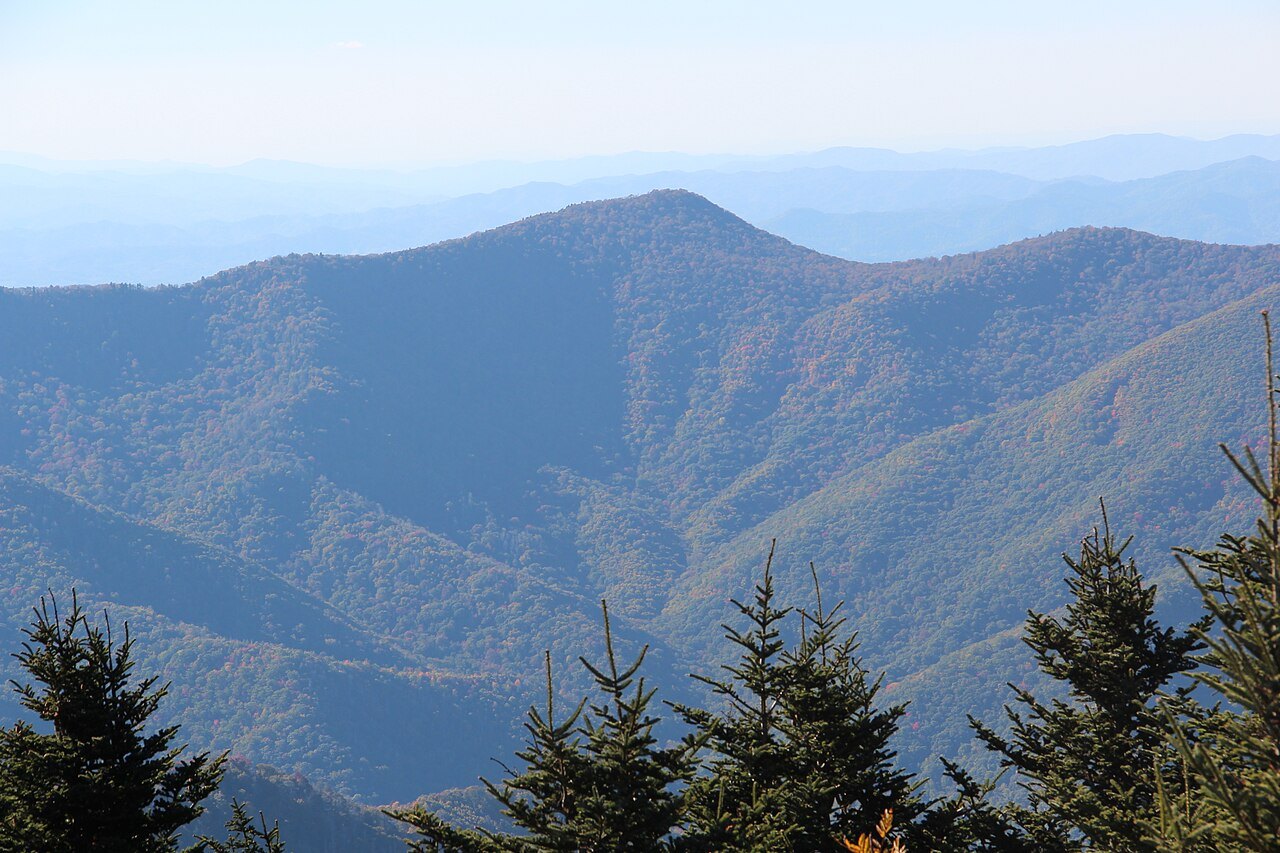
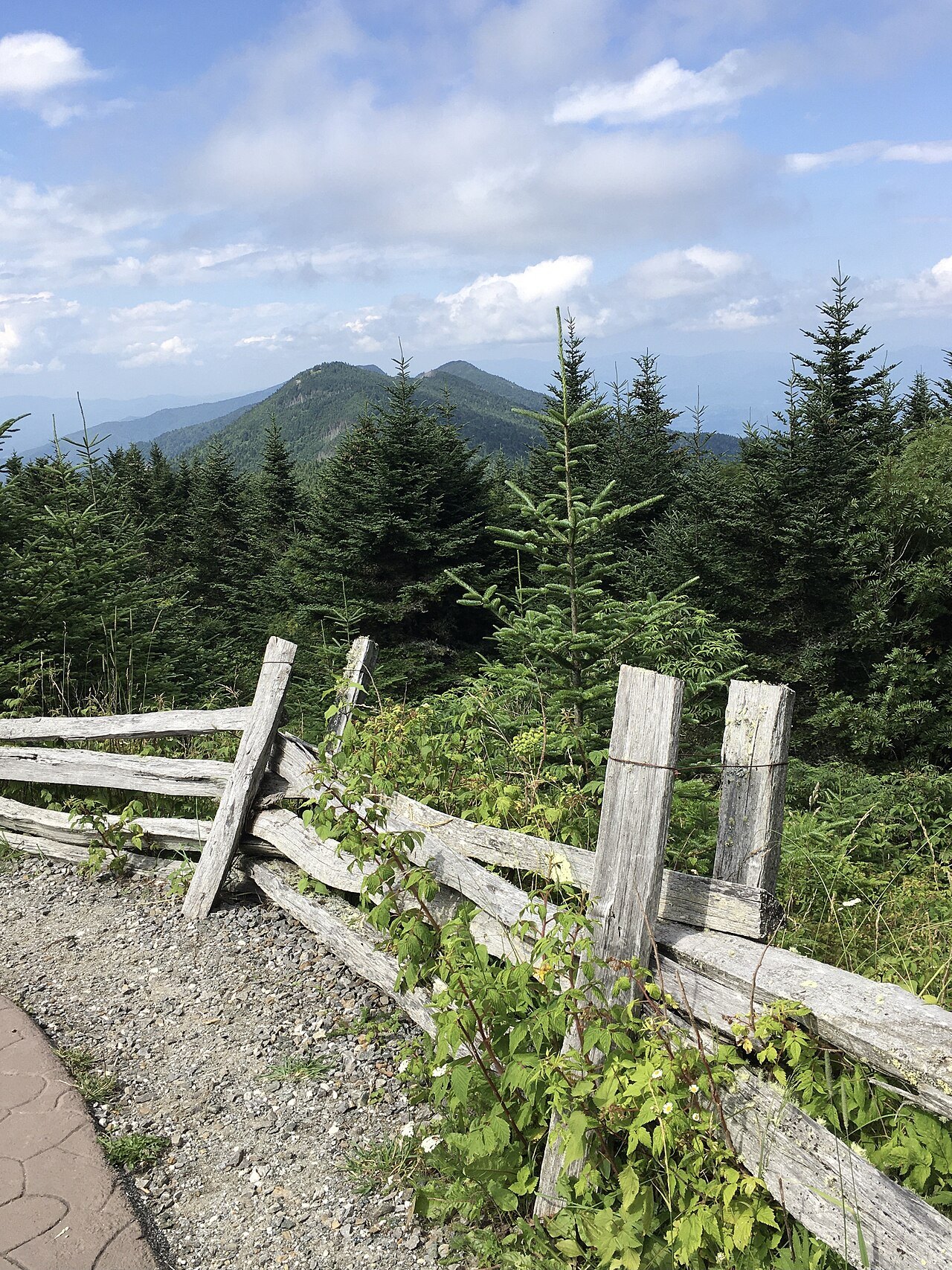
Mount Mitchell is the highest peak in the Appalachians and the highest in mainland North America east of the Mississippi River. It stands in the Black Mountains, a spur of the Blue Ridge and the highest range in the eastern United States, about 19 miles northeast of Asheville in Yancey County, near Burnsville. The range forms a J-shaped arc opening to the northwest, from Celo Knob in the north to Mount Gibbes in the south, and its central section holds six of the ten highest summits in the East, among them Mount Craig, second only to Mitchell and just 52 feet lower. The Eastern Continental Divide touches the southern tip of the range.
The Cherokee, whose homeland this was, called the mountain Attakulla. Settlers first called it Black Dome, for its rounded shape, and the whole range is named for the dark red spruce and Fraser fir of its upper slopes, which stand out against the paler hardwoods below.
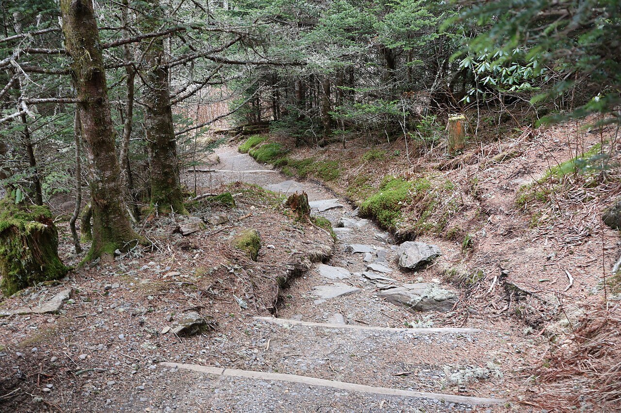
For a time it was the highest mountain in the whole country: from 1789 until the Louisiana Purchase of 1803 brought the Rockies into the United States. It is also remarkably isolated. The nearest point that stands higher is some 1,189 miles away, in southeastern Colorado; in all of eastern North America, only a remote peak in the Canadian Arctic is taller.
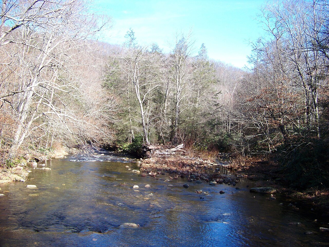
Elisha Mitchell's mountain
The mountain is named for Elisha Mitchell, a professor at the University of North Carolina, who explored the Black Mountains in 1835 and measured them several hundred feet higher than Mount Washington in New Hampshire, then thought to be the highest point in the East. In 1857 he returned to check his measurements and fell to his death at a waterfall nearby, now Mitchell Falls.
He is buried on the summit, and his grave lies at the base of the observation platform. The old stone observation tower on the summit was taken down in 2006, and the new deck opened in January 2009.
The first state park
Mount Mitchell State Park was established by the legislature in 1915, the first state park in North Carolina; the same bill created the state parks system. The park covers 4,789 acres and several other peaks over 6,000 feet, including Mount Craig, Big Tom and Balsam Cone, with about eight miles of trails. One trail leads south to Camp Alice, the site of a logging camp and later a Civilian Conservation Corps tourist camp at the end of an old toll road up the mountain.
Near the summit there is a small museum, open in season, on the mountain's natural and human history, and the park runs a restaurant and a small tent campground in season. It welcomed 398,000 visitors in 2017, and most come between May and November, when the Parkway is reliably open.
The forest on the summit
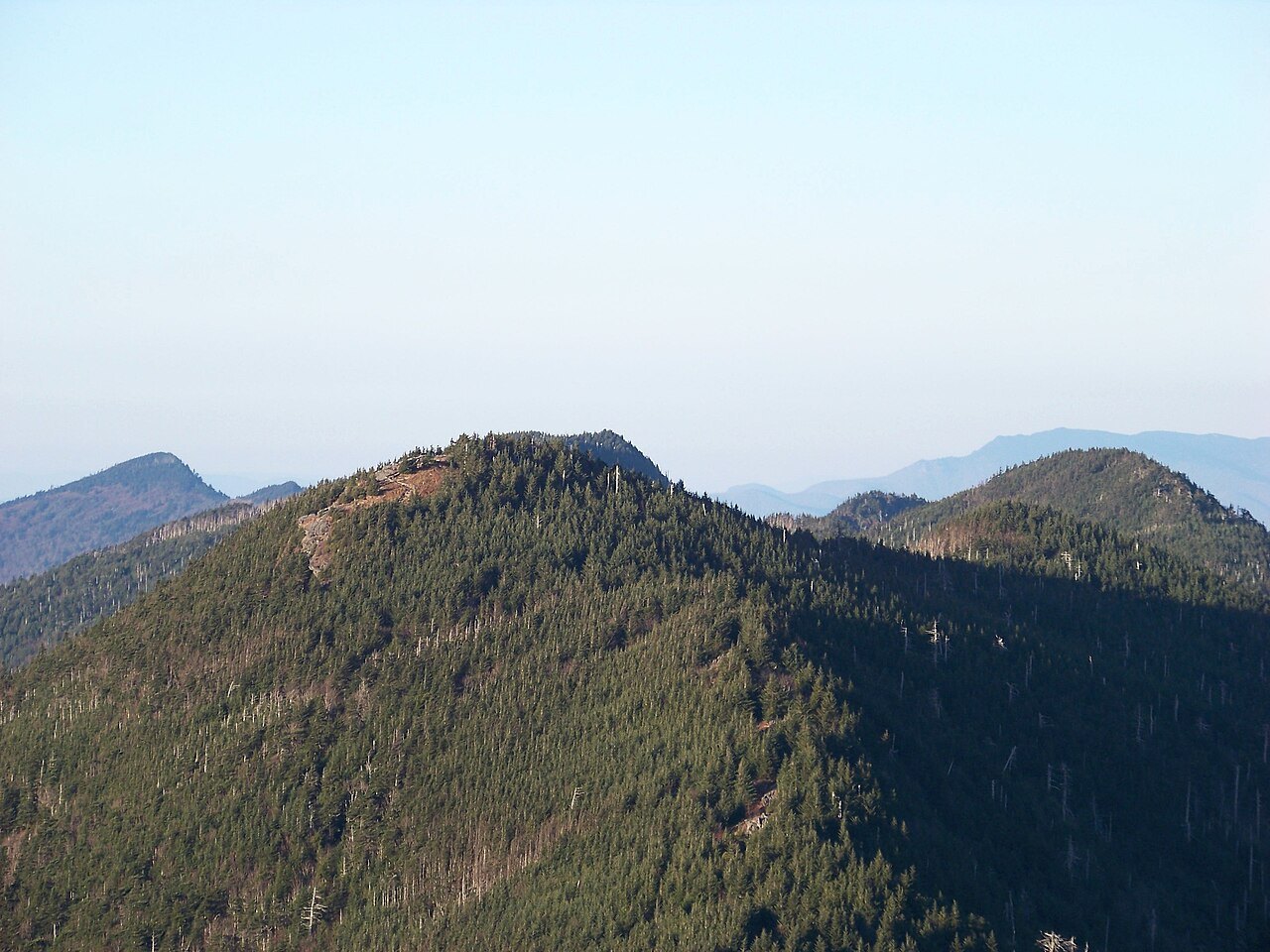
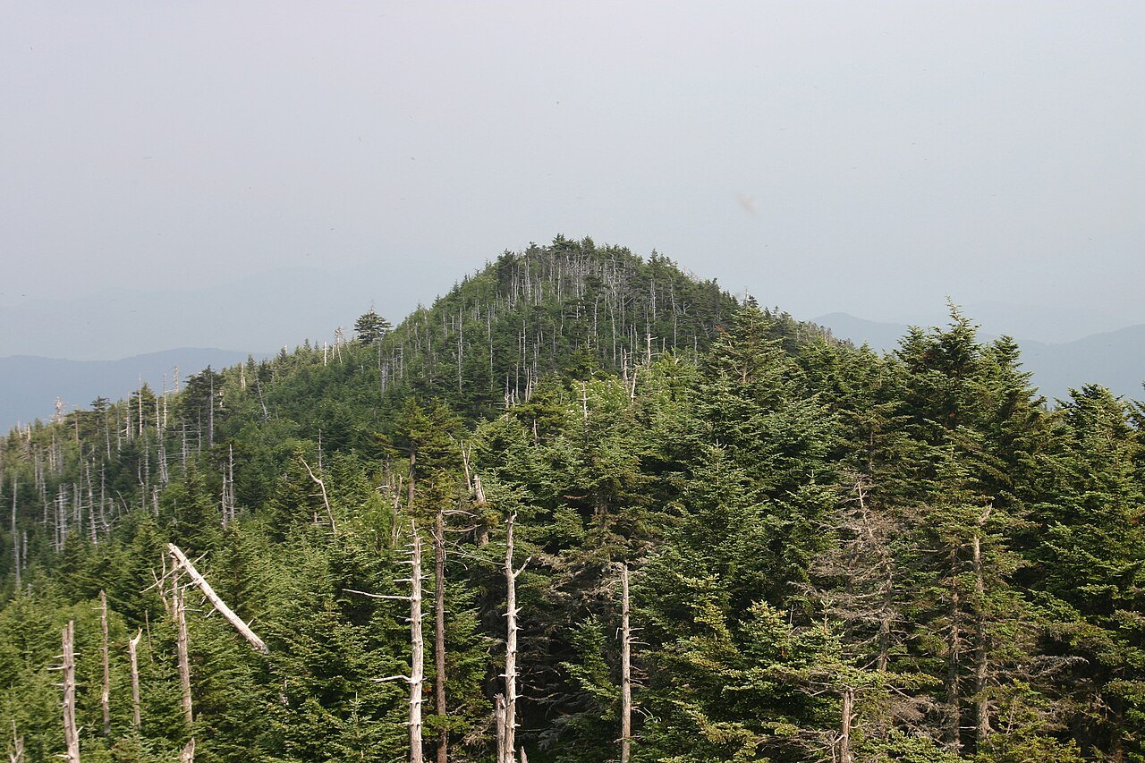
The summit is covered by Southern Appalachian spruce-fir forest, a forest of red spruce and Fraser fir that grows only on the highest peaks of the Southeast and has more in common with the forests of the far north than with the valleys below. It has had a hard century. Logging early in the 1900s and a fierce wildfire that followed cleared much of it, and in the second half of the century an insect from abroad, the balsam woolly adelgid, killed most of the mature Fraser firs. Acid rain, snow and fog at these heights add to the strain.
Conservation groups are now working to bring the red spruce back, planting at sites such as Camp Alice. Walking up to the summit, you pass through a forest that is recovering.
The rock under your feet is old too. Mount Mitchell began as sediment on an ancient sea floor, pressed into gneiss and schist in Precambrian times and pushed up in the mountain building that raised the Appalachians. Hard rocks that resist erosion are part of why the Black Mountains still stand so high.
Weather at the top
Mount Mitchell's summit is a different world from the valleys. The coldest temperature ever recorded in North Carolina, thirty-four degrees below zero, was measured here in January 1985. In the storm of March 1993 the summit got more than four feet of snow with drifts of fourteen feet, and the remnants of Hurricane Frances in 2004 brought more than 23 inches of rain.
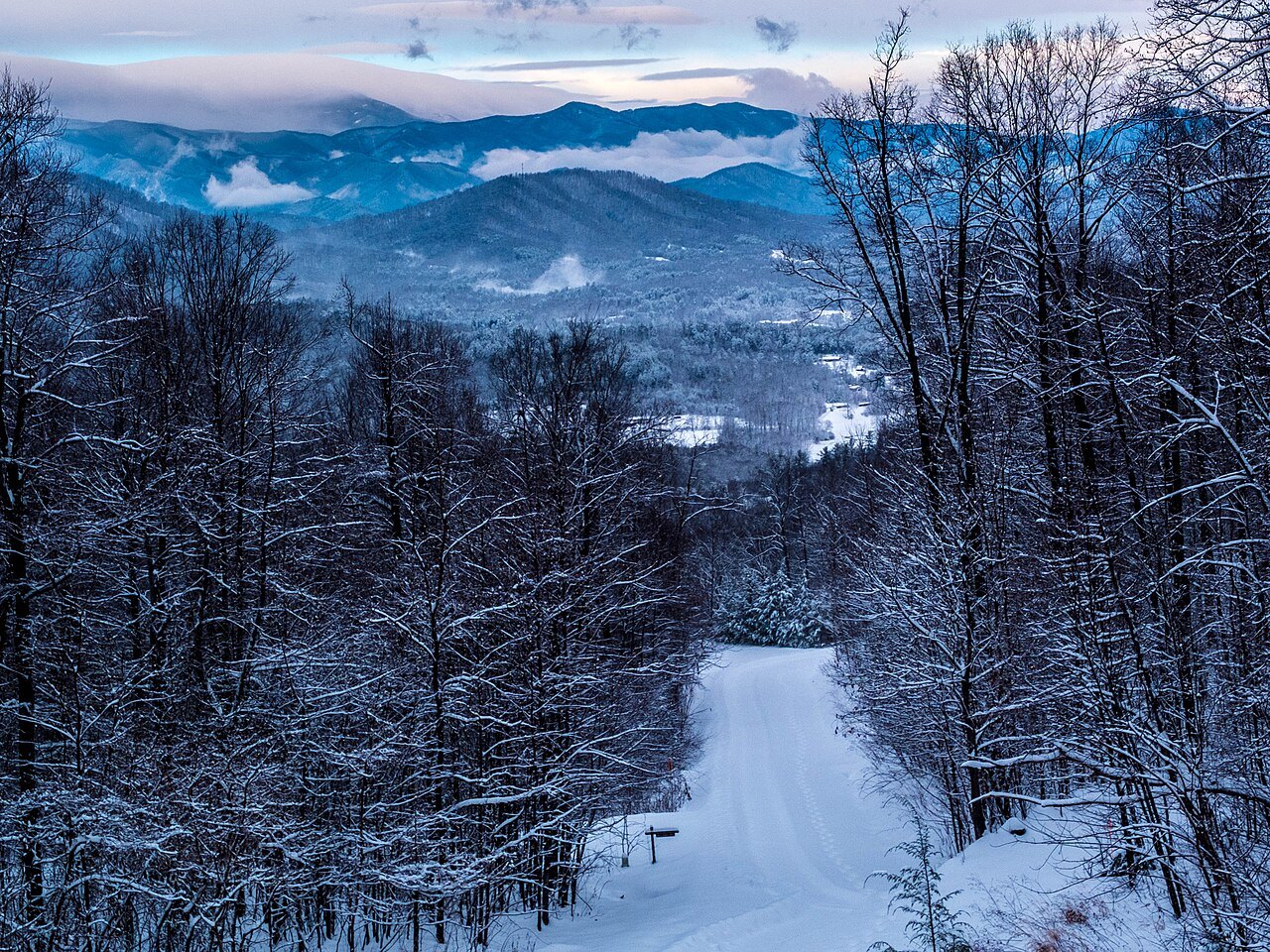
The high Parkway is colder, wetter and windier than the country around it, and the summit more so, so bring a warm layer even in summer. The park is staffed all year, but in the worst weather it can be hard to reach.
Making a day of it
The drive is best combined with the rest of this stretch of the Blue Ridge Parkway. Coming from Asheville, the road passes the Folk Art Center and Craggy Gardens, purple with rhododendron in mid to late June, and Walker Knob, where the Black Mountains meet the Great Craggy Mountains. Going north beyond the NC 128 junction, it reaches Crabtree Falls, the Museum of North Carolina Minerals and Linville Falls.
The summit is also the finish line of the Assault on Mount Mitchell, a long-distance bicycle ride, and the turnaround of the Mount Mitchell Challenge ultramarathon. The Mount Mitchell page has the full story of the mountain.