THE MOVE OF THE MILLENNIUM
Why was the Cape Hatteras Lighthouse moved?
Photographs: Kip Robinson, Wikimedia Commons, CC BY-SA 4.0 · Jschildk, Wikimedia Commons, CC BY-SA 4.0 · Mridulsen1992, Wikimedia Commons, CC BY-SA 4.0
In 1999 the tallest brick lighthouse in the country was lifted from the edge of the Atlantic and moved 2,900 feet inland. Why the sea had come so close, how a 5,000-ton tower was moved without breaking it, and what you see at Buxton today.
The short answer
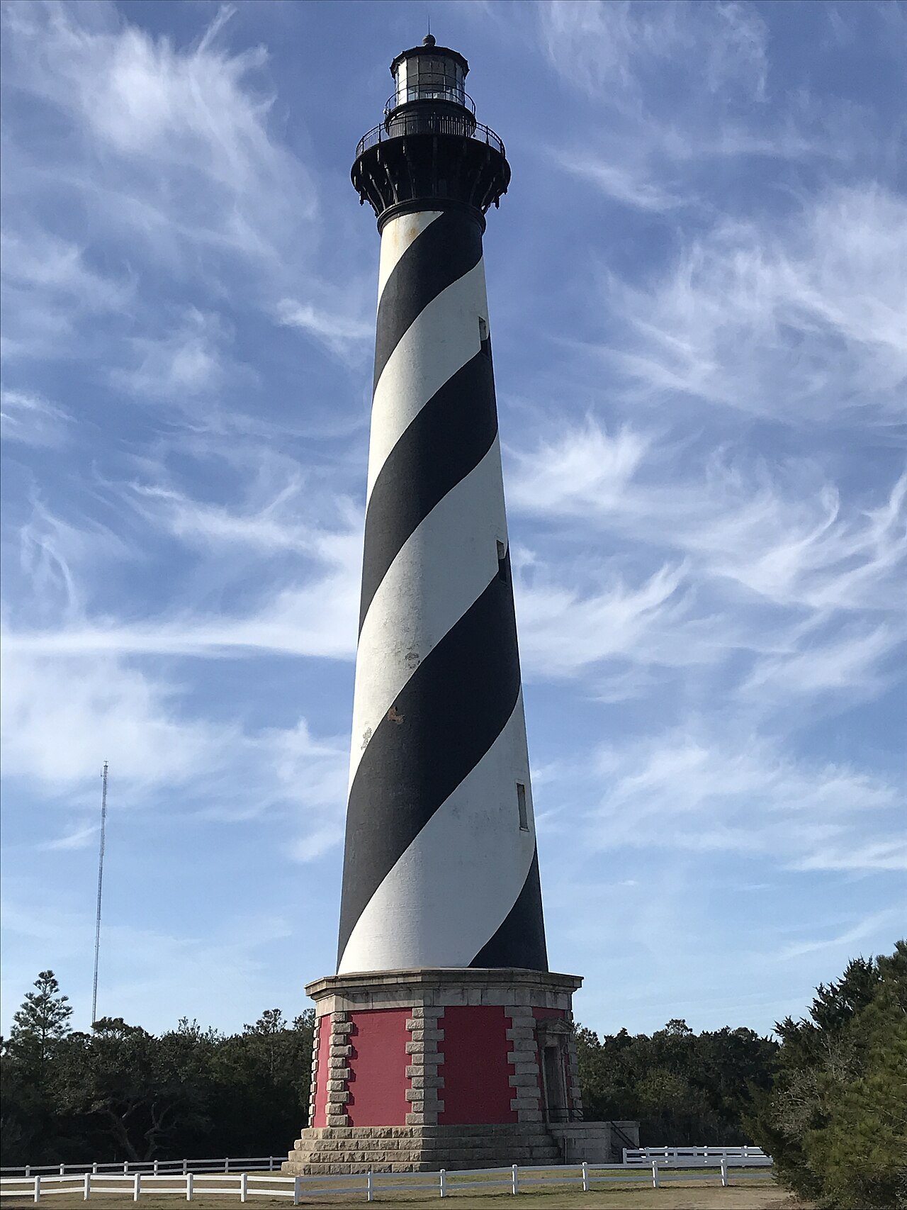
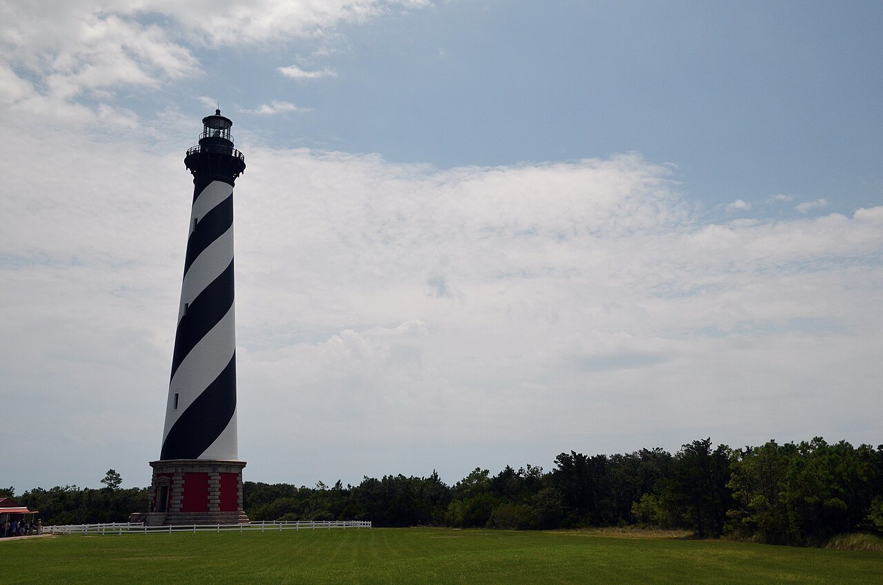
Because the ocean had come to its door. When the Cape Hatteras Lighthouse was finished in 1870, it stood some distance back from the sea on Hatteras Island. By the late 1990s erosion had brought the water's edge to within fifteen feet of its base, and the tower was in imminent danger of falling into the surf. In 1999 it was moved 2,900 feet to the southwest, leaving it about 1,500 feet from the shoreline, along with every other building of the light station.
It is one of the tallest masonry structures ever moved, some 5,000 tons of brick, and the job became known as the Move of the Millennium. To understand why it had to happen, you have to look at what the lighthouse was built to do and at the island it stands on.
A light for the worst shoals on the coast
Off Cape Hatteras, Diamond Shoals, a field of shifting sandbars, runs out from the point for about ten nautical miles, and just offshore the warm Gulf Stream meets the cold Labrador Current, breeding storms and heavy seas. Ships passing north or south hugged the shoals to stay out of the Gulf Stream, and so many were wrecked that the waters became known as the Graveyard of the Atlantic.
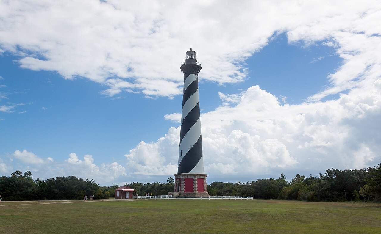
The first lighthouse at the cape, of dark sandstone, was finished in 1802 after Congress ordered it in 1794. It was never good enough: in 1851 a naval officer, David Porter, called it the worst light in the world, at the most important point on the coast. So the Lighthouse Board built a new tower, completed in 1870 and first lit on December 16, 1871. About 200 feet tall, of some one and a quarter million bricks, with 257 steps to the lamp, it was then the tallest brick lighthouse tower in the world.
The sea keeps coming
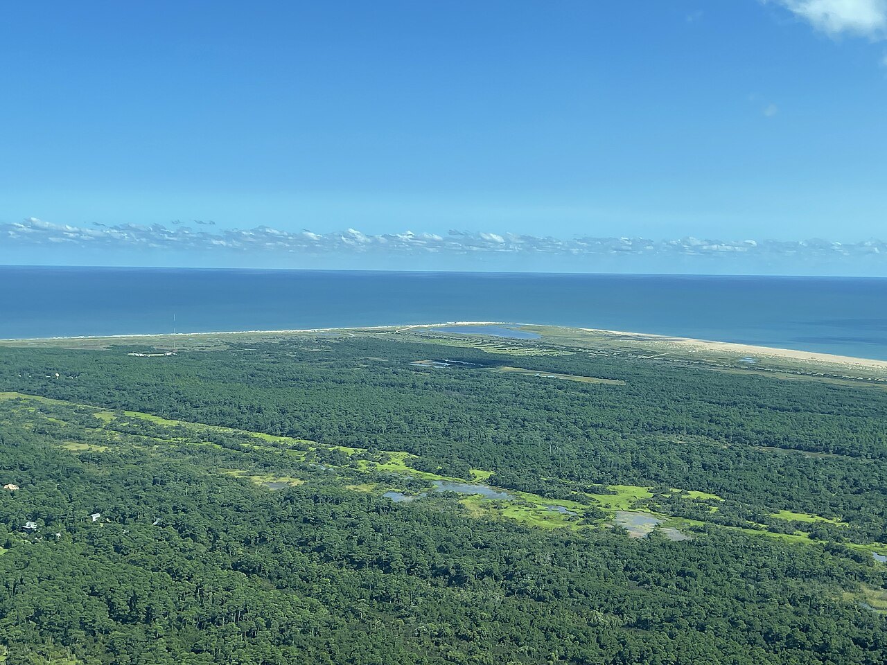
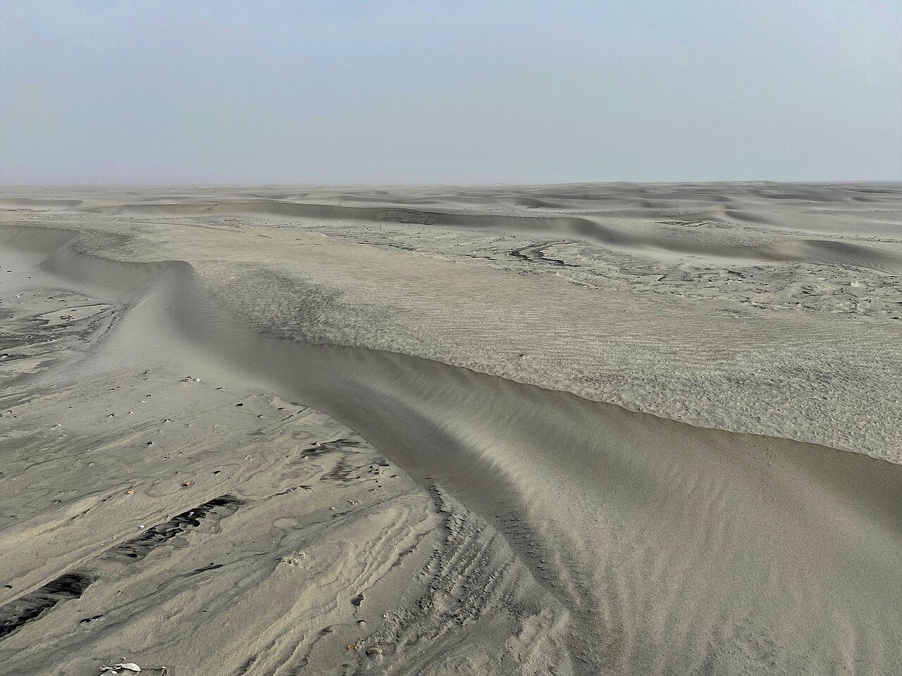
A barrier island is not a fixed thing. The Outer Banks are long ridges of sand, and storms, currents and inlets reshape them constantly; here the beach at the cape was wearing away. The encroachment began soon after the tower was built and became serious by 1919, when high water was about 120 feet from its base. By 1935 the surf reached the tower itself, and dikes and breakwaters had done nothing to stop it.
That year the light was moved to a steel skeleton tower farther back in the woods, and the old brick tower was handed over to the National Park Service. Then the beach built itself back: the Civilian Conservation Corps and the Works Progress Administration put up wooden revetments, sand accumulated, and by the end of World War II the tower stood 500 to 900 feet from the sea again. In the meantime the old tower had one more job: in 1942, when German U-boats began attacking ships just offshore, the Coast Guard took it back and used it as a lookout station until 1945. The light went back into it in 1950.
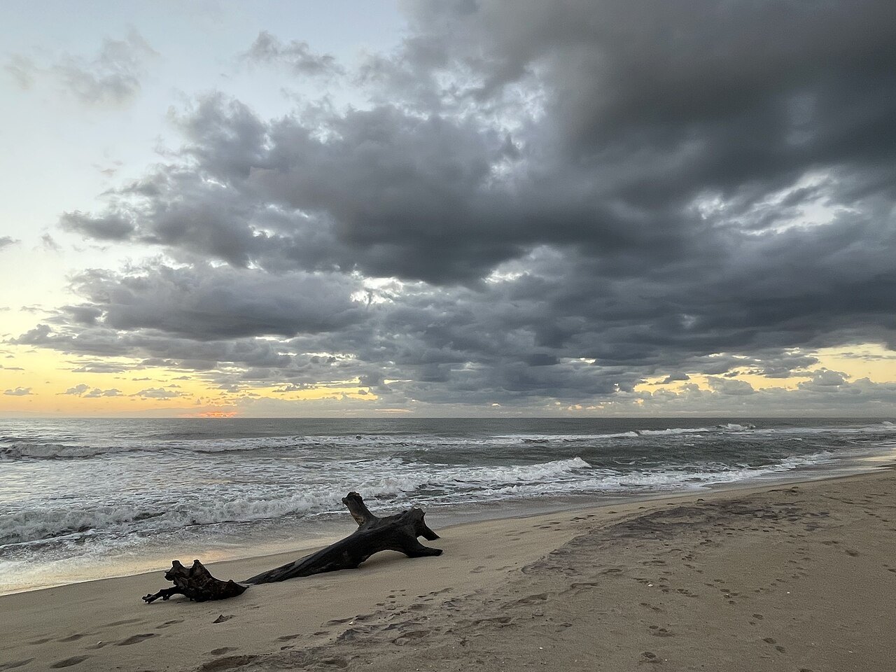
The reprieve did not last. The shoreline kept retreating, and by the 1990s the tower was once more at the water's edge, with only fifteen feet of sand between it and the Atlantic.
The decision to move it
There were other ideas, and the move was controversial. Some feared the tower would not survive being shifted, and lawsuits were filed to stop it; they were later dismissed. But moving it back from the sea was the only way to save it for long. The contract went to International Chimney Corporation of Buffalo, New York, working with Expert House Movers and other firms.
The tower was moved 2,900 feet to the southwest, and every other building of the station went with it, including the keepers' houses. They were set down again in exactly the same arrangement they had before, each keeping its original compass orientation and its distance and height relative to the lighthouse, so that the station looks as it always did. The move was finished on September 14, 1999, and the engineers who did it won the American Society of Civil Engineers' award for outstanding civil engineering achievement that year.
What you see today
The lighthouse now stands about 1,500 feet from the shoreline at Buxton, inside Cape Hatteras National Seashore, the first national seashore in the country. Its black and white double spiral on white is a daymark: each of the tall North Carolina lights wears its own pattern so that sailors could tell them apart by day. Some people believe the spiral and Cape Lookout's diamonds were switched by mistake, since it is Hatteras that guards Diamond Shoals, but the patterns were assigned at random, and there is no evidence of a mix-up.
Beside it, the keepers' double quarters hold the Hatteras Island Visitor Center and Museum of the Sea, with exhibits on the maritime history and the natural history of the Outer Banks and the lighthouse itself. The Park Service runs the site, and its own website says when the tower can be climbed.
Will it have to move again?
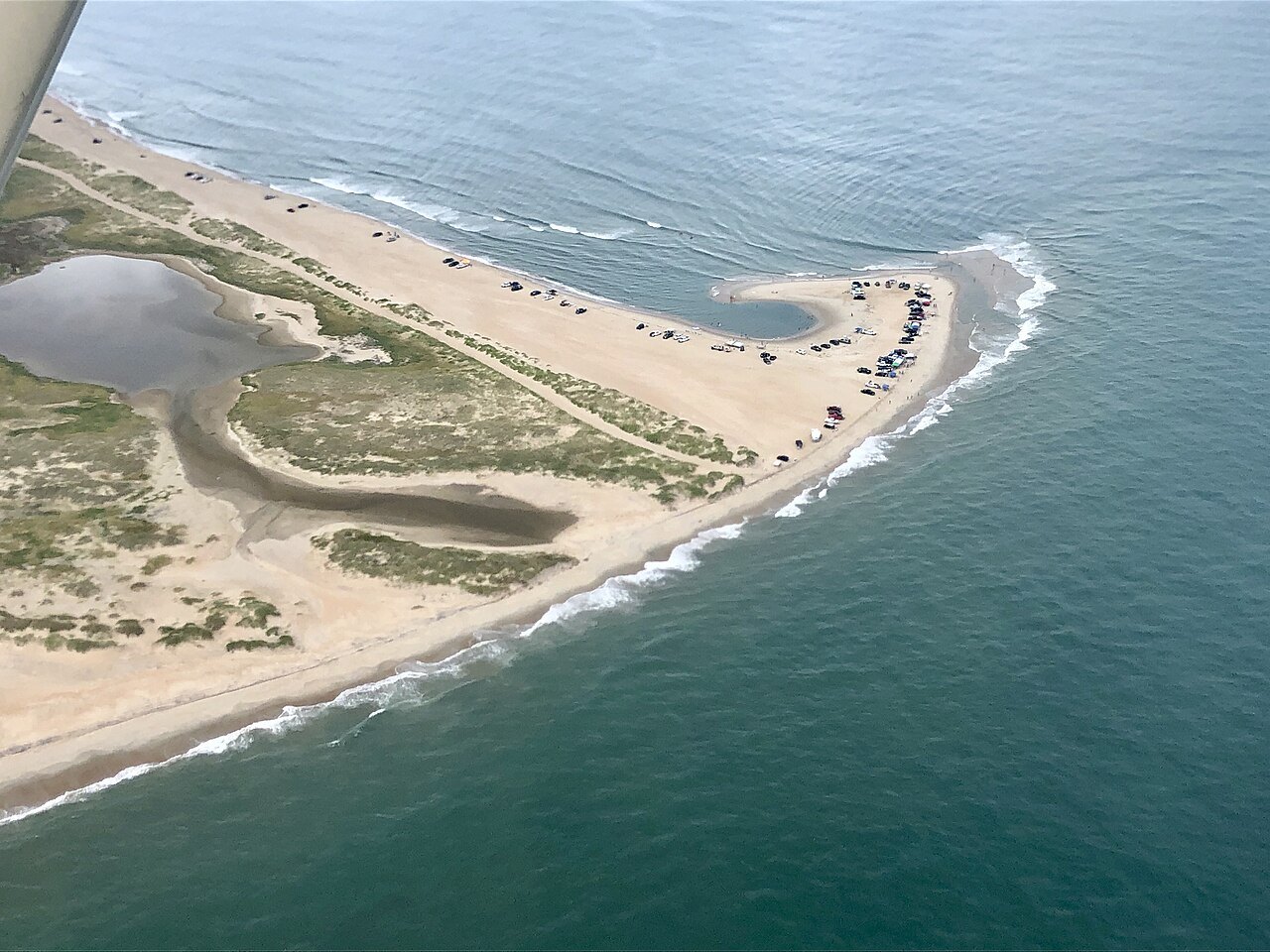
The move bought time, not permanence. The Outer Banks are among the places most exposed to rising seas and coastal erosion on the East Coast, and storms continue to reshape the islands; farther north, Rodanthe has one of the highest erosion rates on the Banks, and a bridge was built out over Pamlico Sound in 2022 to take NC 12 around it. Any visit to the lighthouse is a visit to a structure that has already been saved once from the Atlantic.
Seeing it for yourself
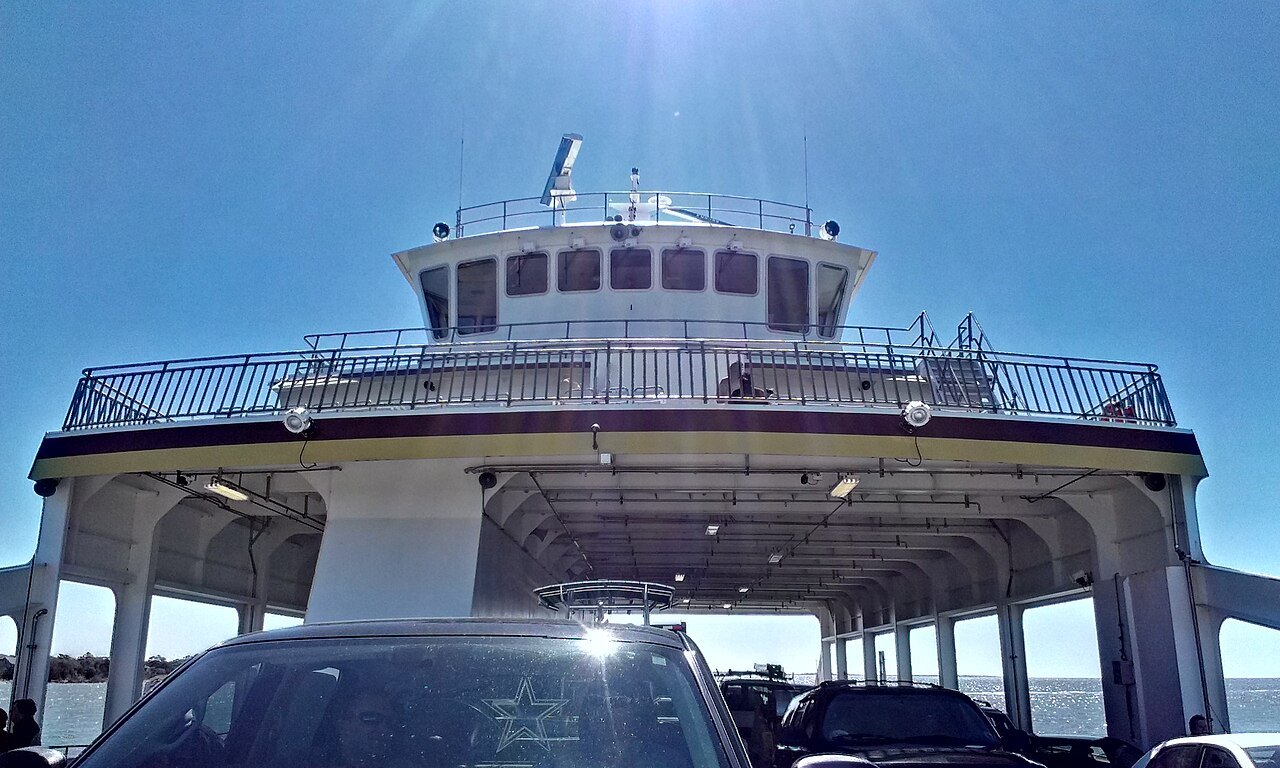
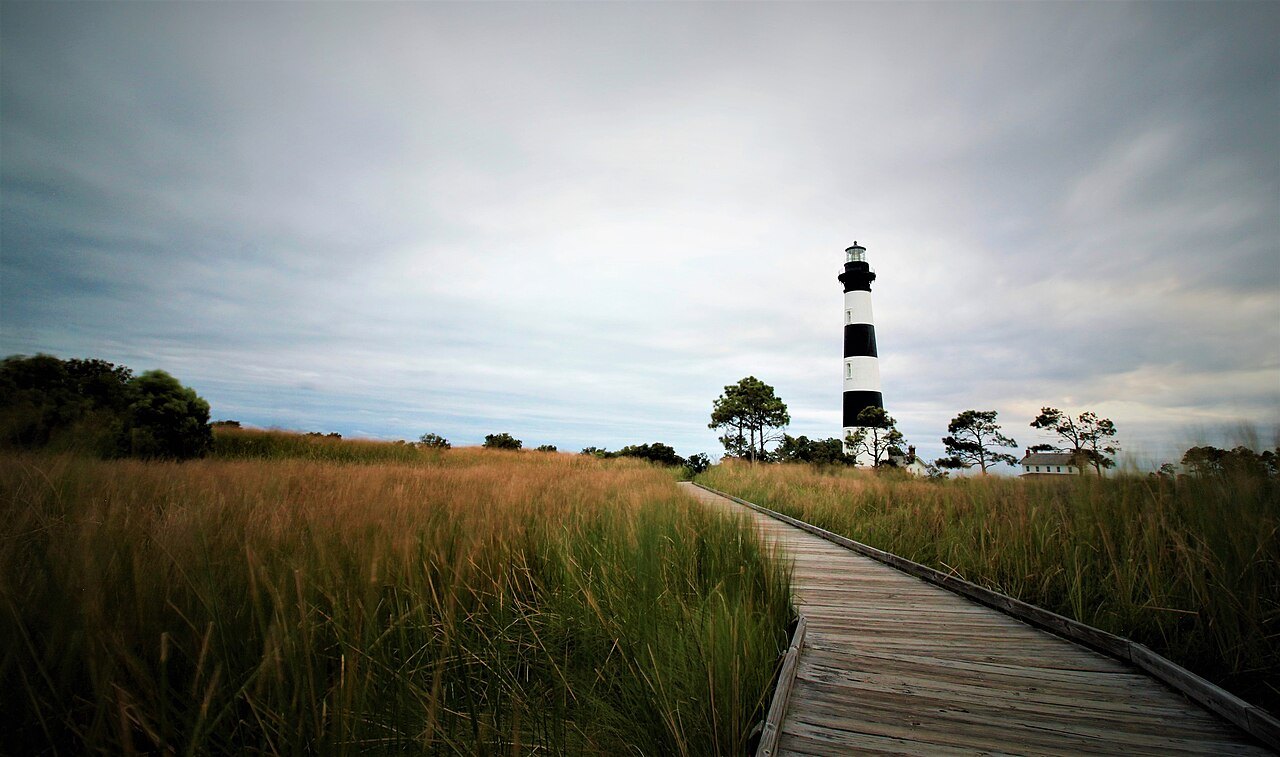
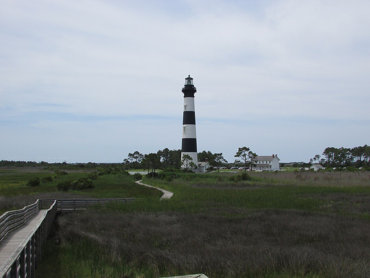
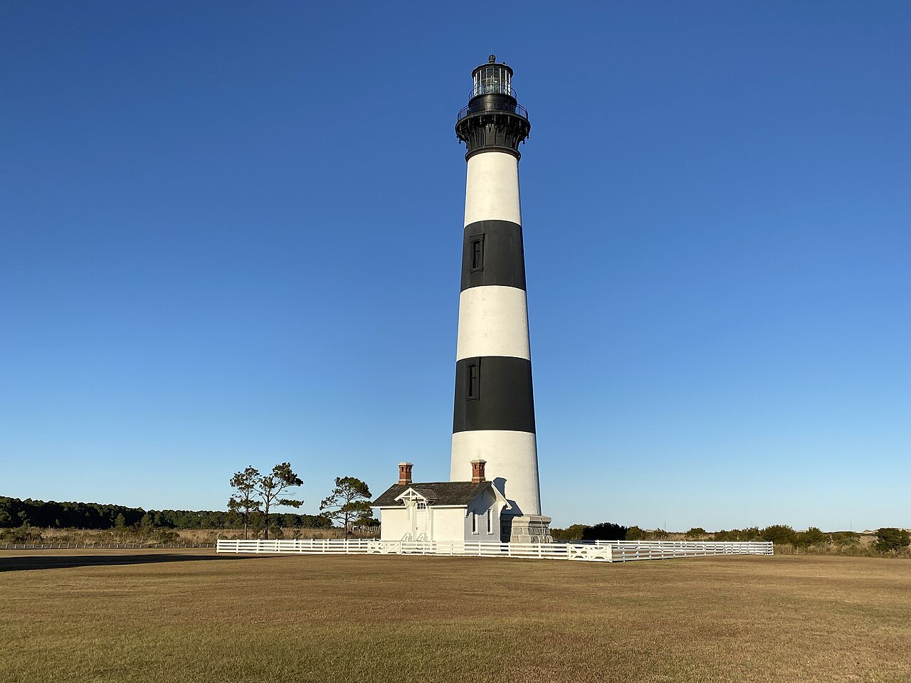
The lighthouse is on Hatteras Island, reached from the north by NC 12 over the Marc Basnight Bridge across Oregon Inlet and through the Pea Island refuge, or from the south by the ferry from Ocracoke. On the way down, stop at the Bodie Island lighthouse, a banded tower of 1872 with its original lens, which the Park Service restored and opened for climbing in 2013.
The Cape Hatteras page covers the whole seashore, from the lighthouses to the birds, and Ferries explains the crossing to Ocracoke. In hurricane season, which peaks from late August through September, check the road and the ferries before you set out.