THREE FERRIES AND NO BRIDGE
How do you get to Ocracoke, and do you need a car?
Photographs: EoRdE6, Wikimedia Commons, CC BY-SA 4.0 · DiscoA340, Wikimedia Commons, CC BY-SA 4.0 · DiscoA340, Wikimedia Commons, CC BY-SA 4.0
The Journal · Ferries and the Banks
Ocracoke has no bridge. The ferry from Hatteras, the two long crossings from the mainland, the small planes and the passenger boat to Portsmouth, what each is for, and whether it is worth taking a car onto an island that is almost all national seashore.
The short answer
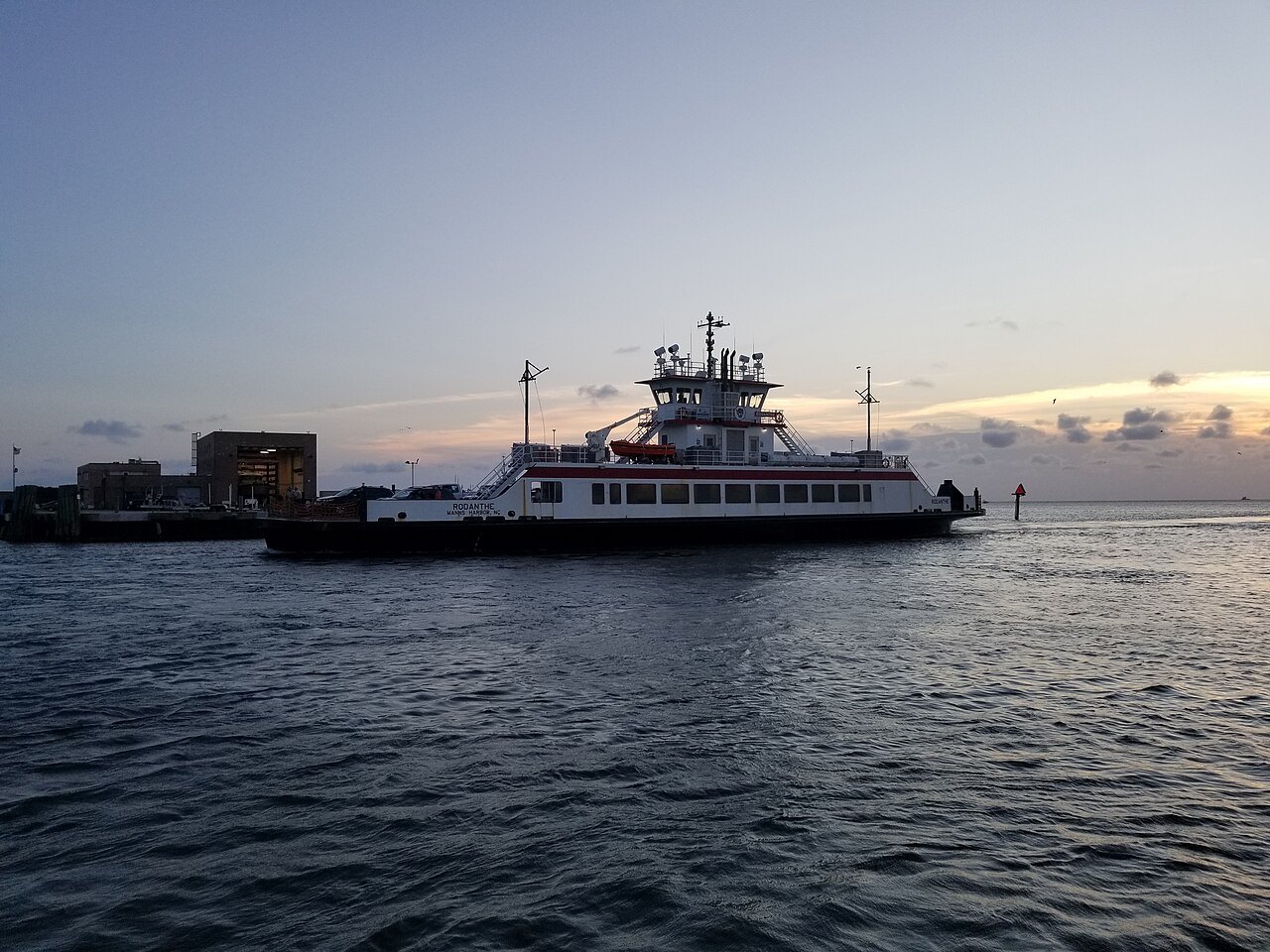
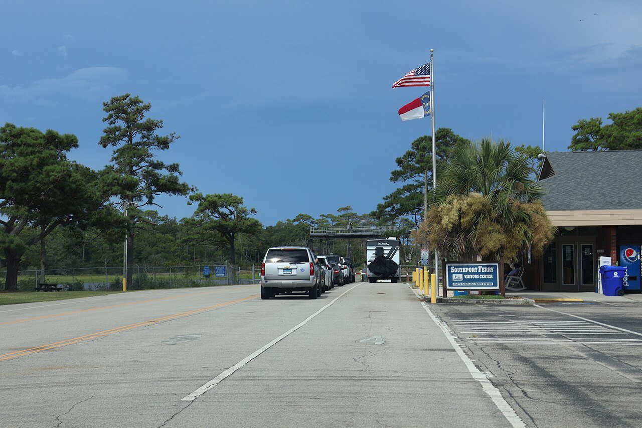
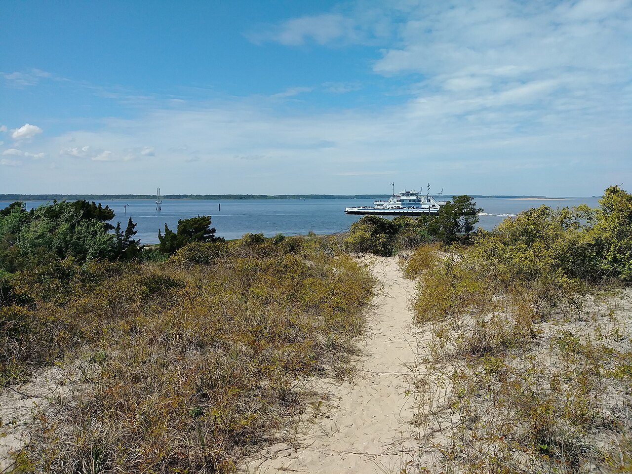
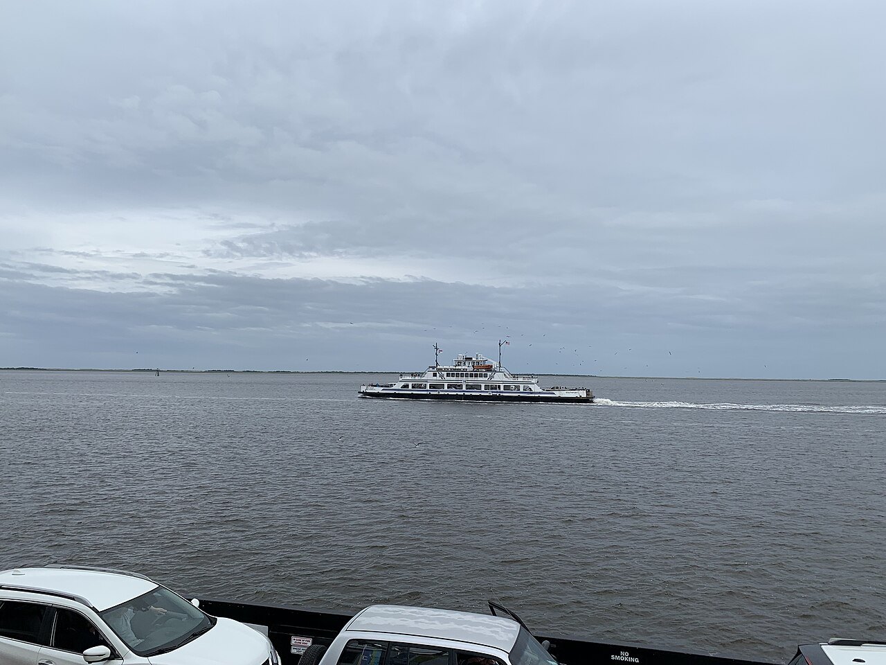
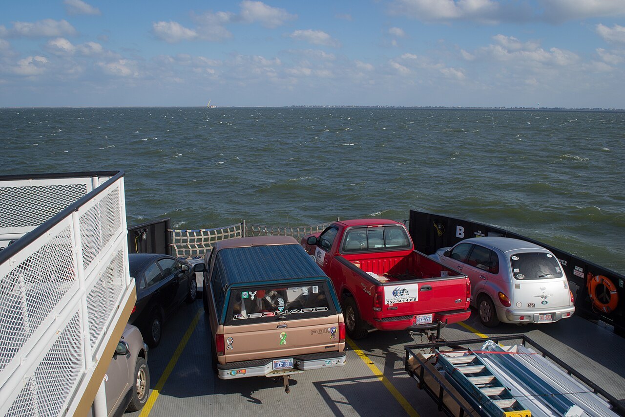
By ferry. No bridge reaches Ocracoke, and the only ways on and off are the state ferries, a private boat or a small plane. Most visitors take the car ferry from Hatteras village, at the southern tip of Hatteras Island, which crosses Hatteras Inlet to the northern end of Ocracoke in about an hour. Two longer car ferries cross Pamlico Sound from the village of Ocracoke to the mainland, one to Cedar Island and one to Swan Quarter.
Whether you need a car depends on how you plan to see the island. The ferry from Hatteras lands you at the empty northern end, with miles of national seashore between you and the village, so bringing a car is the easy way; but once you are in the village, much of what there is to see is within a walk.
The island at the end of the road
Ocracoke is one of the most remote islands on the Outer Banks. Apart from the village, a ferry terminal, a pony pen and a small runway, the whole island belongs to Cape Hatteras National Seashore, and a single paved road, NC 12, runs its length from the ferry dock in the northeast to the village in the southwest.
The island's land stands on average less than five feet above the sea, and hurricanes cross it often. In 2019 Hurricane Dorian destroyed about a thousand feet of NC 12, and the island was closed to visitors while the road and the dunes were rebuilt. That exposure is one reason there is no bridge: a road across the inlets would be vulnerable to the same storms.
From Hatteras: the busy crossing
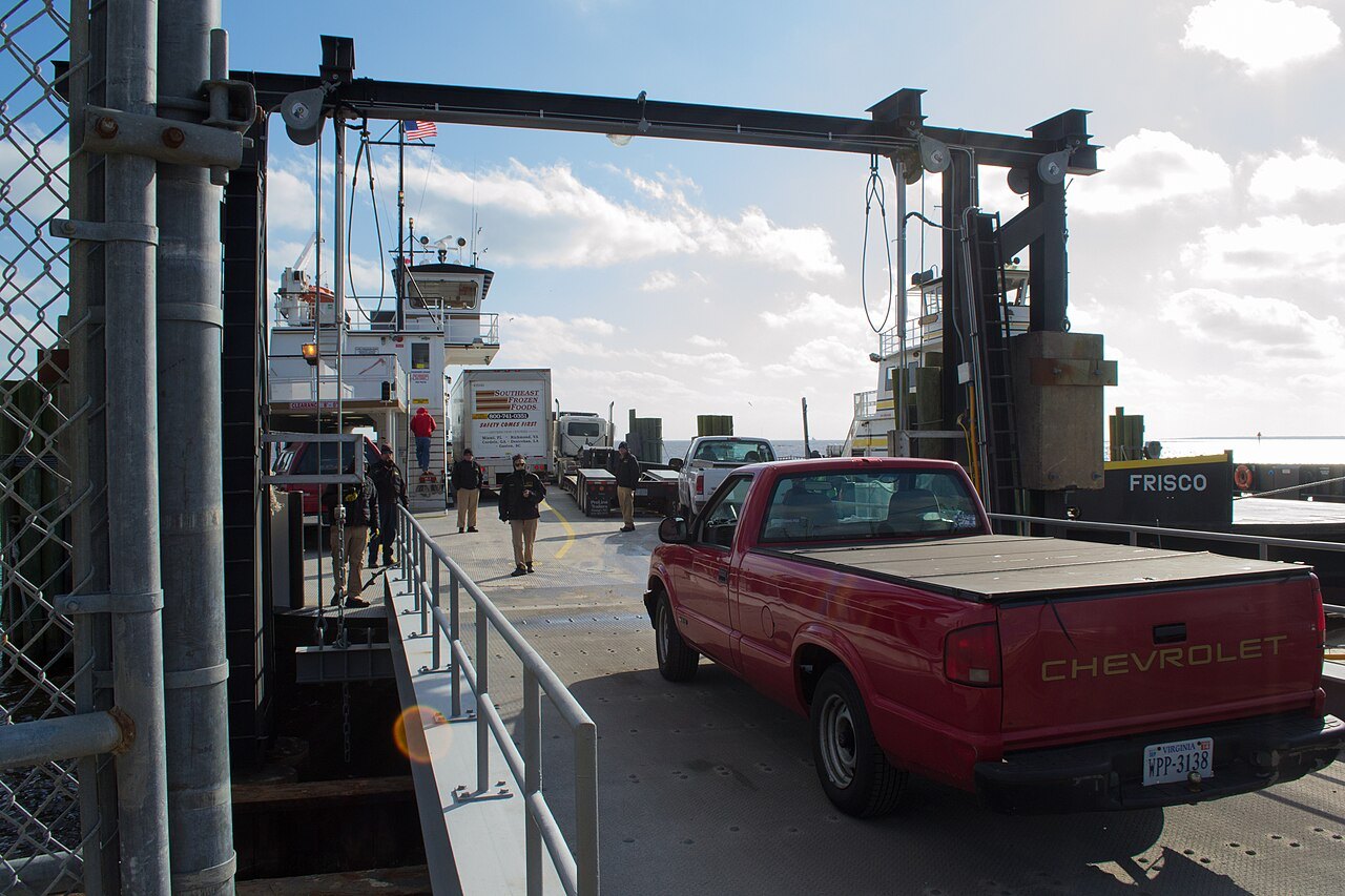
The Hatteras–Ocracoke ferry is the busiest route in the state system, carrying about a million passengers a year across Hatteras Inlet. It began in 1953 and links the two halves of NC 12, so a trip down the Outer Banks continues across the water without a break in the road. It carries cars and foot passengers, and it is the way day visitors reach the island in the busy months.
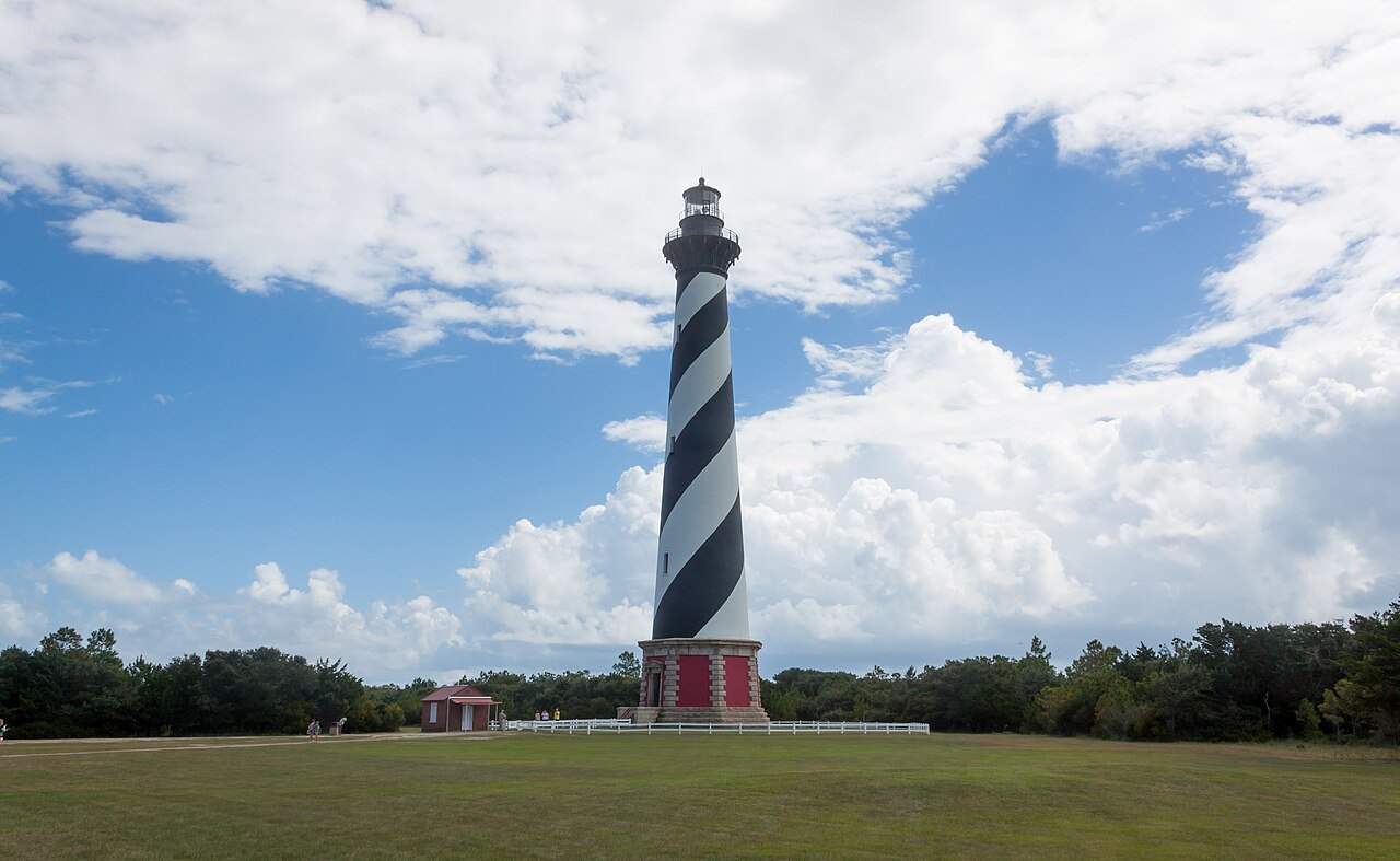
To reach it, drive NC 12 south down Hatteras Island past the Cape Hatteras lighthouse at Buxton to Hatteras village. Allow extra time on the way, since NC 12 on the Outer Banks can be slowed or closed by storms, and look at the state ferry system's own site for the schedule and the season before you go.
From the mainland: the Pamlico Sound ferries
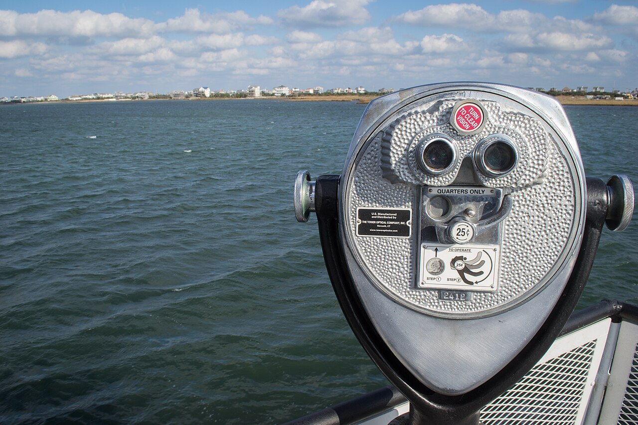
Two long ferries cross Pamlico Sound from Ocracoke village. The Cedar Island route, begun in 1961 to connect NC 12 to the mainland, lands near Atlantic in Carteret County, at the start of the road south to Beaufort and the Crystal Coast. The Swan Quarter route, begun in 1977 and the newest in the system, links the island to its county seat in Hyde County, on the mainland to the northwest.
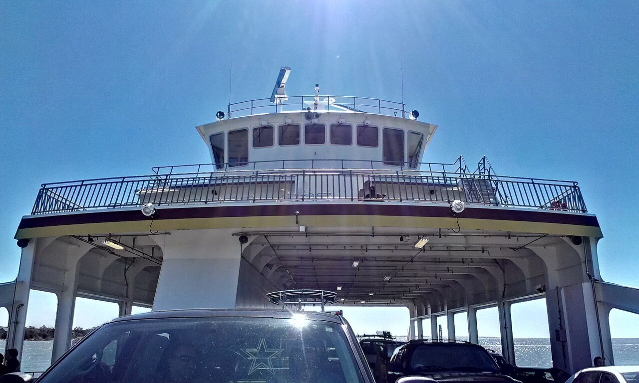
These crossings are much longer than the Hatteras run, with fewer sailings, and they charge a toll; they are the ones to plan around. Their value is that they let you drive the whole coast in one direction: down the Outer Banks from Nags Head, across to Ocracoke, and off the island to the south, without doubling back up NC 12. The Sound Class ferries used on these routes are the largest in the state fleet and carry up to fifty cars across the shallow, rough water of the sound.
By air and by small boat
Ocracoke Island Airport, just southeast of the village, lets small aircraft land, and some visitors come by private plane or private boat. From the village a passenger ferry crosses Ocracoke Inlet to Portsmouth, the abandoned village at the northern end of the Core Banks in Cape Lookout National Seashore, whose last residents left in 1971. It carries no cars; four-wheel-drive vehicles reach the Core Banks by a separate ferry across Core Sound from Atlantic and drive the beach and sand tracks.
Do you need a car?
For most visitors, yes, at least to get there. The ferry from Hatteras is the only practical way on for most people, and it leaves you at the far end of the island from the village. With a car you can stop at the beaches along the seashore on the way in, and you can leave by the Pamlico Sound ferries at the end without retracing your route.
Once in the village, a car matters less. The village wraps around Silver Lake, a small sheltered harbor, and the lighthouse, the British Cemetery, the shops and the restaurants are all close together. Springer's Point, the nature preserve said to have been Blackbeard's hideout, is at the edge of the village. You can park and walk for the rest of your stay.
What to see when you get there
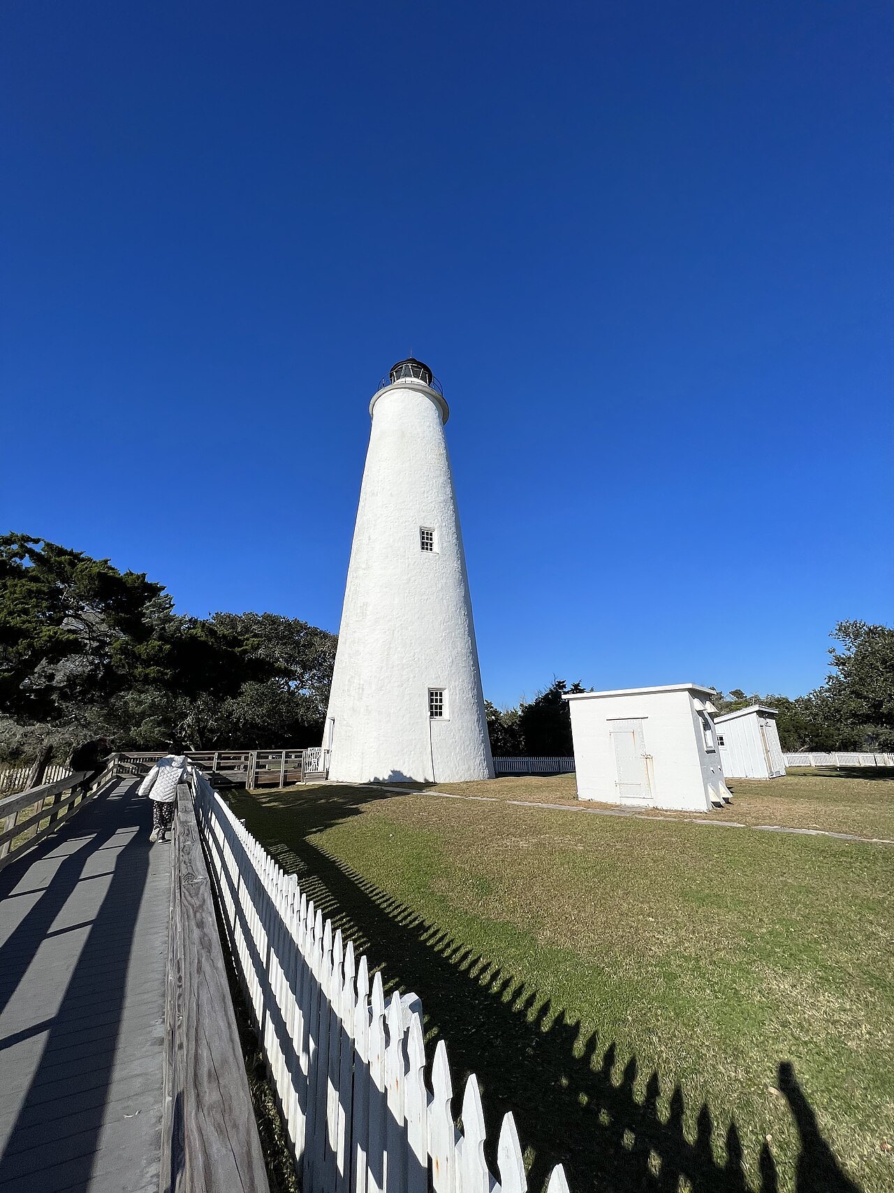
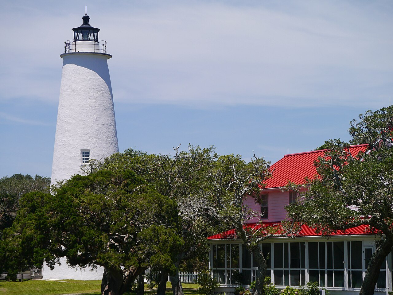
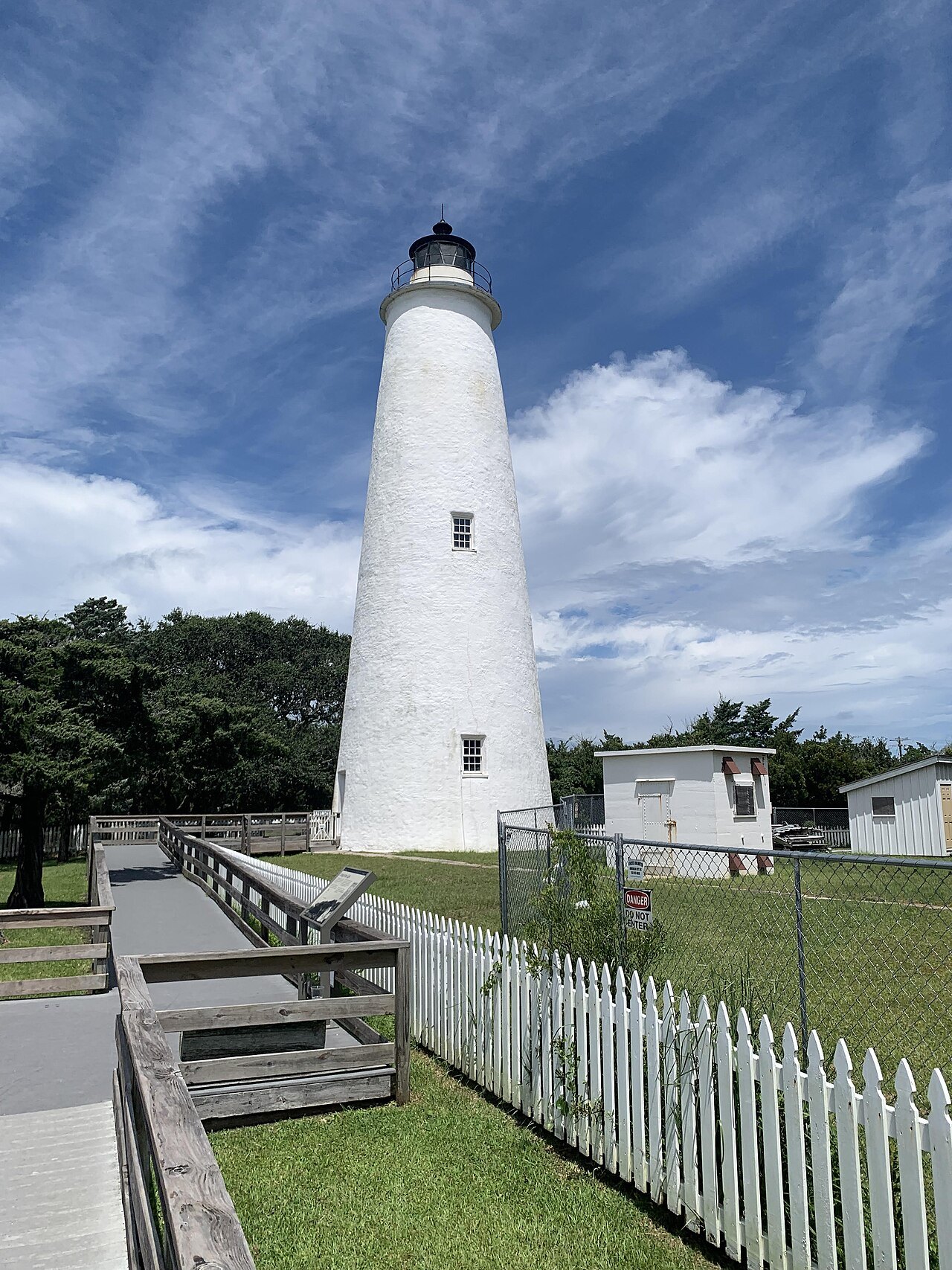
Ocracoke Light, a whitewashed brick tower of 1823, is the oldest operating light station in North Carolina; the tower cannot be climbed, but visitors can come to its base when a ranger is on duty in summer. The British Cemetery holds sailors washed ashore after German submarines sank British ships off the island in World War II. The feral Banker ponies, said to descend from horses of shipwrecks, are kept in a pen on the island.
Blackbeard was killed at Ocracoke in a fierce battle on November 22, 1718. Away from any city's lights, the summer beaches have some of the best views of the Milky Way on the coast, and charter boats go out after drum and tuna in the sound, the ocean and the Gulf Stream. The island's old brogue, the Hoi Toider dialect, can still be heard, though less and less among younger islanders. The Ocracoke page tells the whole story.
When to go
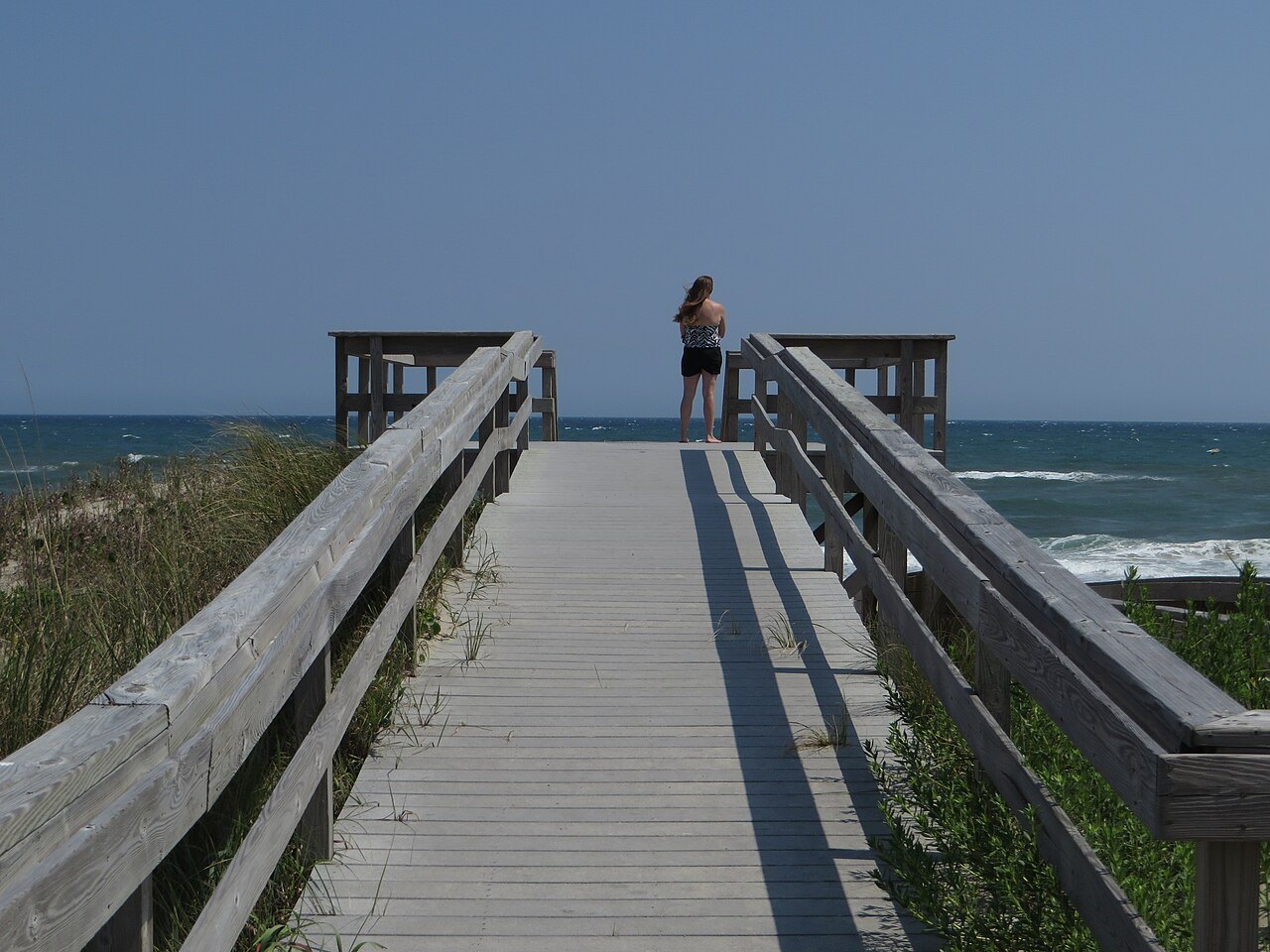
Ocracoke is busiest from spring to early fall, when day visitors come over from Hatteras; in winter the population shrinks and only a few businesses stay open. The ocean is usually comfortable for swimming from late May into early October. The hurricane season runs from June through November and peaks from late August through September, when storms can close NC 12 and the ferries; When to Come has more, and Ferries covers every crossing on the coast.