THE STATE LINE RUNS ALONG THE CREST
Which side of the Smokies is in North Carolina?
Photographs: Olin Gilbert from Chipley, Florida, USA, Wikimedia Commons, CC BY 2.0 · Dsdugan, Wikimedia Commons, CC0 · ljb06, Wikimedia Commons, CC BY 3.0
The Journal · The Smokies, North Carolina side
The Great Smoky Mountains National Park is split almost evenly between North Carolina and Tennessee, with the state line along the crest. Which famous places are on which side, what the North Carolina side has to offer from Oconaluftee to Cataloochee, and how to reach it from Cherokee.
The short answer
The southern and eastern half. Great Smoky Mountains National Park is divided roughly evenly between the two states, and the border between them runs northeast to southwest along the crest of the mountains, through the center of the park. Everything south of the crest, in Swain and Haywood counties, is North Carolina; everything north of it, in Blount, Sevier and Cocke counties, is Tennessee.
It matters because many of the park's famous names are on the Tennessee side: Cades Cove, Elkmont, the Sugarlands, Greenbrier, Mount Le Conte and the town of Gatlinburg all lie north of the line. The North Carolina side has its own entrance, at Cherokee, its own valleys and its own history, and some places, including the park's highest peak, sit right on the line.
Places on the line
Newfound Gap, 5,048 feet up and the lowest gap in the crest, is where the road through the park crosses from one state to the other, and the state line runs through it. So does the Appalachian Trail, which follows the crest through the center of the park. Here, at the Rockefeller Memorial, President Franklin D. Roosevelt dedicated the park in 1940.
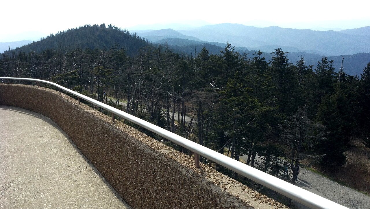
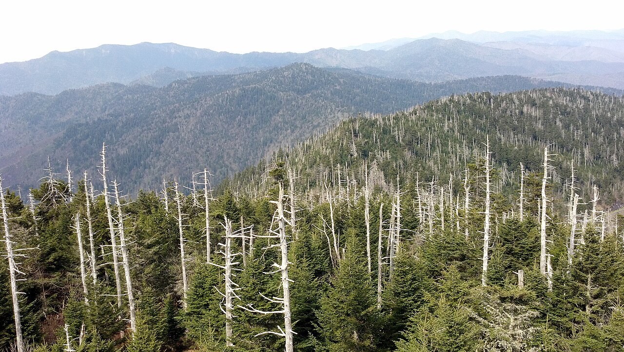
Kuwohi, formerly called Clingmans Dome, is the highest mountain in the park at 6,643 feet and the highest point on the whole Appalachian Trail. It is the highest point in Tennessee, and its summit stands on the state line; a paved road leads to it from Newfound Gap. The concrete observation tower on top, built in 1959, gives views of up to a hundred miles on the clearest days.
The North Carolina side: Oconaluftee
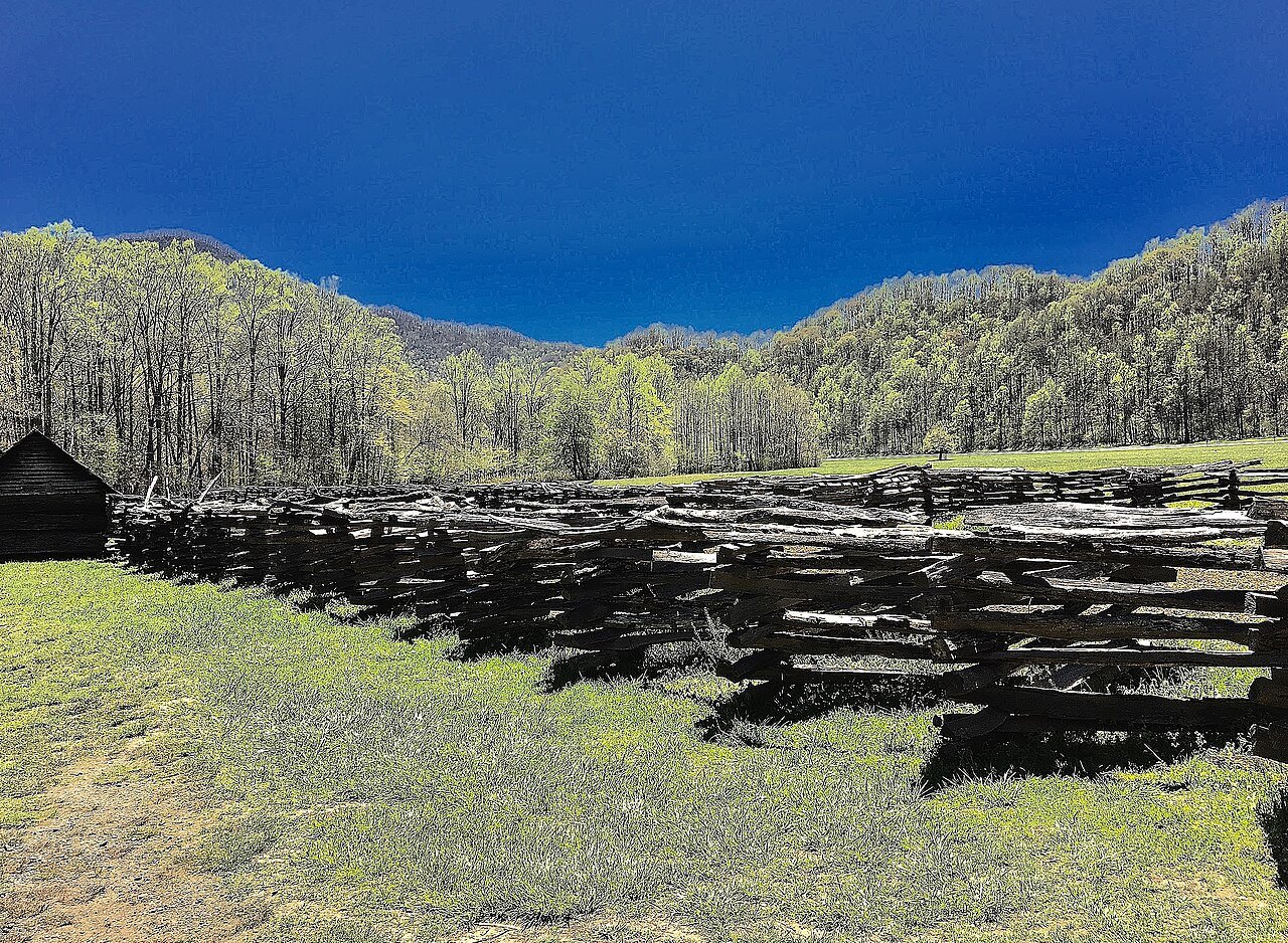
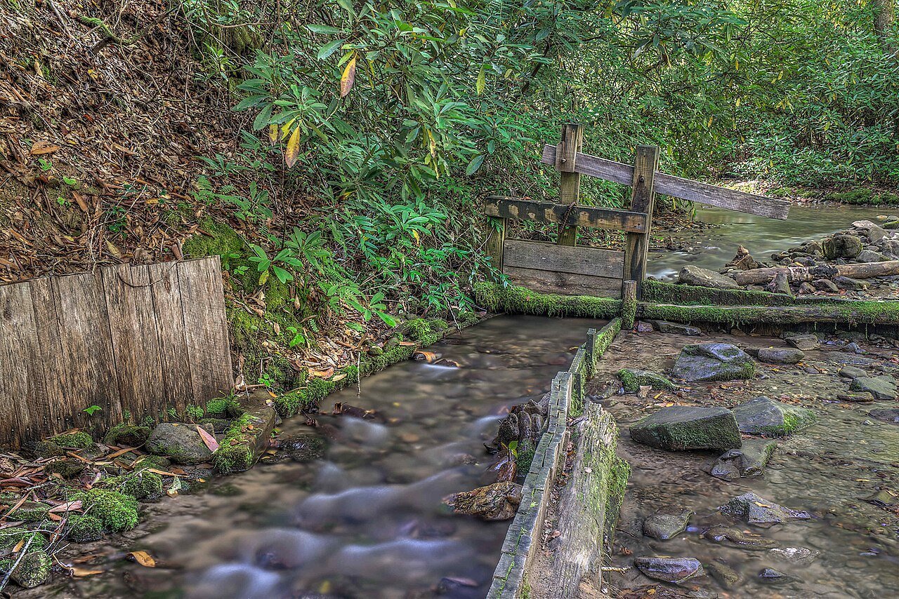
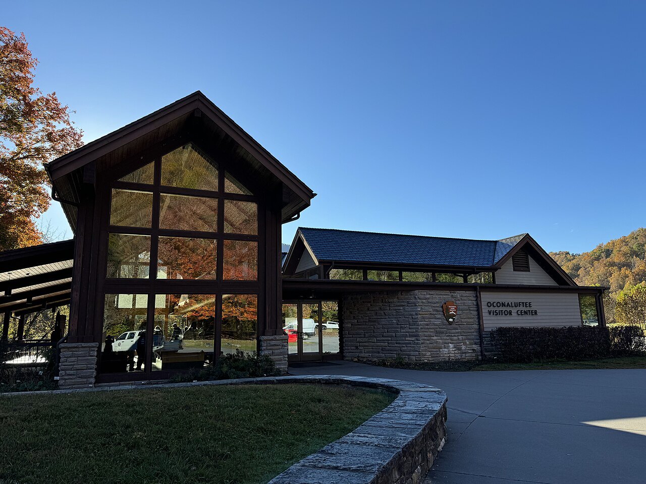
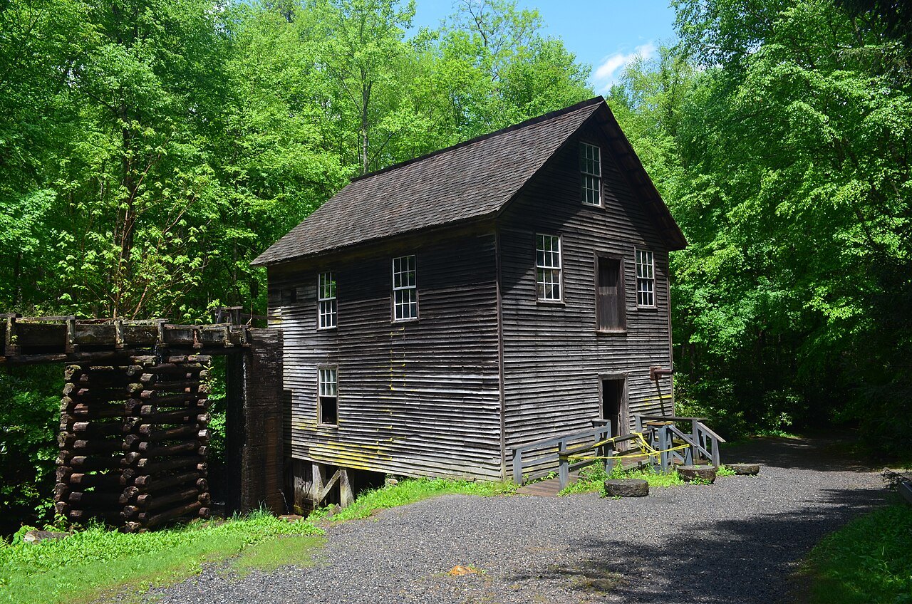
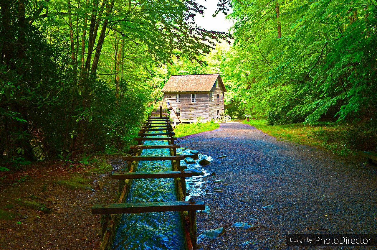
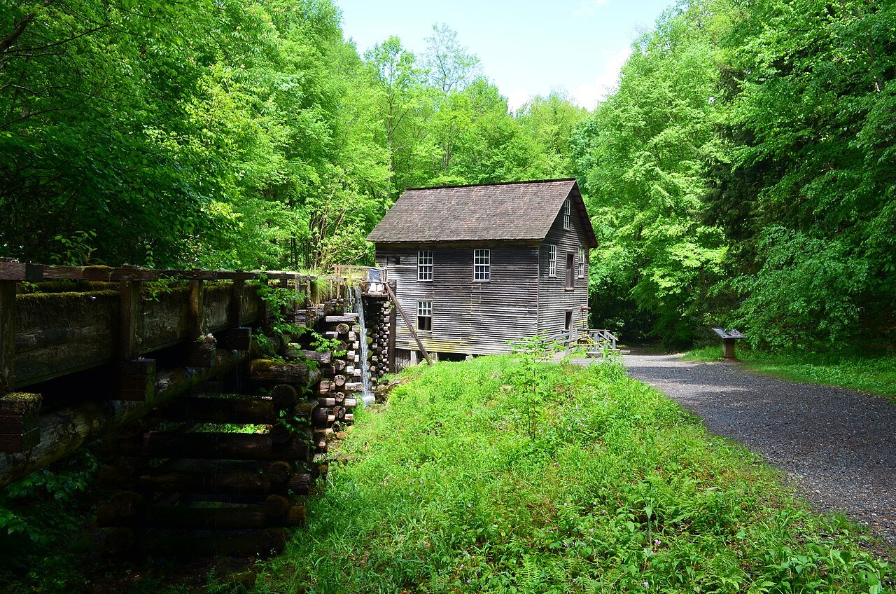
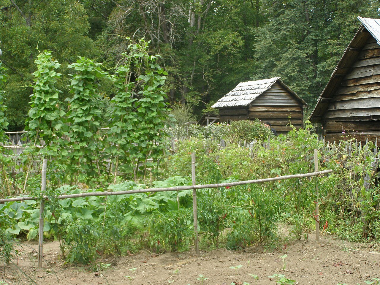
The main entrance on the North Carolina side is the valley of the Oconaluftee River, which runs south from near Newfound Gap to the edge of the Qualla Boundary at Cherokee. Once the site of a Cherokee village and later of an Appalachian farming community, it is now the park's main gateway from North Carolina, with the Oconaluftee Visitor Center, the Mountain Farm Museum and Mingus Mill.
The Cherokee held the waters of the Oconaluftee to be sacred. The rocks around the meeting of the Oconaluftee and Raven Fork are among the oldest exposed rocks in the eastern United States, granite gneiss more than a billion years old, and both they and the younger rocks of the high Smokies can be seen along the road up to Newfound Gap.
The rest of the North Carolina side
Beyond Oconaluftee, the North Carolina side has several other valleys that the park uses as reference points. Cataloochee is one of the park's historic areas, with buildings of the old settler community, and Deep Creek is another of the accessible valleys on this side of the crest. Along the southwestern edge of the park, the Little Tennessee River is held back by a chain of dams, among them Fontana Dam. Despite the state line, all of the park's streams, some 2,900 miles of them, drain to the Tennessee River: the Oconaluftee, for one, turns west past Cherokee to join the Tuckasegee near Bryson City.
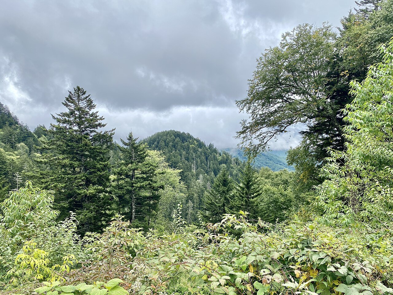
The Smokies are part of the Appalachian temperate rainforest, and the spruce-fir forest on their highest summits, Kuwohi among them, grows only at the greatest heights in the Southeast and is more like the forests of the far north than those of the valleys below.
The towns around this side of the park are Cherokee, Bryson City, Fontana Dam and Maggie Valley, and the Nantahala National Forest borders much of it. From Bryson City the Great Smoky Mountains Railroad runs excursion trains on the old Murphy Branch line between Dillsboro and Nantahala, one of the most popular tourist railroads in the country.
Cherokee and the Qualla Boundary
South of the park lies the Qualla Boundary, the land of the Eastern Band of Cherokee Indians, who descend from Cherokee who avoided the forced removal of their people to what is now Oklahoma. The Eastern Band bought the land in the 1870s, and the town of Cherokee is its capital, with street signs in both the Cherokee syllabary and English.
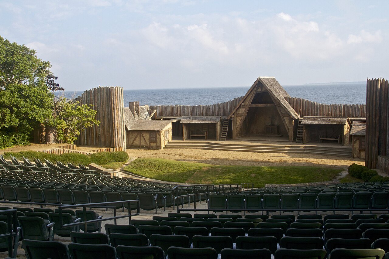
Cherokee is the natural base for the North Carolina side, with campgrounds, motels and hotels, and it is also the place to learn about the Cherokee from the Cherokee themselves: the Museum of the Cherokee People, founded by the Eastern Band in 1948, the Oconaluftee Indian Village and the outdoor drama Unto These Hills. The Blue Ridge Parkway ends here, at Milepost 469, where it meets US 441.
Crossing to the other side
US 441, Newfound Gap Road, is the one road across the park, linking Cherokee on the North Carolina side with Gatlinburg on the Tennessee side over Newfound Gap. It was completed in 1932, replacing an older and harder route over Indian Gap, named for the Cherokee trail it followed; Newfound Gap itself was only recognized as the lowest pass over the mountains in 1872, when Arnold Guyot measured the range.
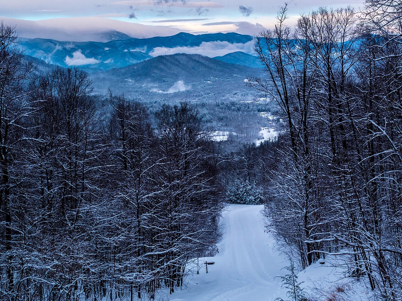
The gap gets around nineteen days of snow a year, and the road closes during and just after winter storms; because it is inside the park, it can only be cleared with plows and a sand and gravel mix, and the snow route around the park, by US 321 and I-40, is a long detour. Even when the valleys are clear, with little snow in Gatlinburg and almost none in Cherokee, the gap may lie under deep snow for hours after a storm ends. The Tennessee side usually gets the heavier snow.
The most visited national park
The Smokies are the most visited national park in the United States, with more than eleven million visitors in 2025. Chartered by Congress in 1934, it was the first national park whose land was paid for partly with federal money, and it has been a World Heritage Site since 1983. It is famous for its forests and its diversity of life, with more than 1,400 kinds of flowering plants and, in mid-June, synchronous fireflies whose light shows draw crowds on the Tennessee side near Elkmont.
The Smokies page covers the North Carolina side in more detail, and Scenic Drives has the road over Newfound Gap and the Cherohala Skyway west of the park.
Read next
Sources read for this page
- en.wikipedia.org/wiki/Great_Smoky_Mountains_National_Park
- en.wikipedia.org/wiki/Newfound_Gap
- en.wikipedia.org/wiki/Kuwohi
- en.wikipedia.org/wiki/Oconaluftee_(Great_Smoky_Mountains)
- en.wikipedia.org/wiki/Cherokee,_North_Carolina
- en.wikipedia.org/wiki/Great_Smoky_Mountains_Railroad
- en.wikipedia.org/wiki/Museum_of_the_Cherokee_People