THE PARKWAY'S LAST MISSING MILES
How was the Linn Cove Viaduct built around Grandfather Mountain?
Photographs: Bigmacthealmanac, Wikimedia Commons, CC BY-SA 4.0 · Der Berzerker from Washington, DC, USA, Wikimedia Commons, CC BY 2.0 · Michael Barera, Wikimedia Commons, CC BY-SA 4.0
The Journal · The Blue Ridge Parkway
How the Linn Cove Viaduct solved the one stretch of the Blue Ridge Parkway that a road could not cross.
The Last Gap in the Road
By the end of 1966, the Blue Ridge Parkway was essentially complete across North Carolina, running from the Virginia line near milepost 217 toward the Qualla Boundary at Oconaluftee. One stretch remained unfinished: almost eight miles around the steep southeastern flank of Grandfather Mountain. Elsewhere builders had carried the road across ridges with tunnels and ordinary grading, but this slope resisted those methods and held up the Parkway's completion for decades.
A conventional cut-and-fill road, blasted into the mountainside with the spoil piled below, would have scarred the slope of Grandfather Mountain. The National Park Service spent years looking for a way to finish the road without that kind of damage. The eventual answer was not another cut but a bridge: a structure that could follow the mountain's contour instead of carving into it.
The result, finished only in 1987, was the Linn Cove Viaduct, a concrete bridge that curves around the mountain's contour instead of cutting through it. It is often described as the final piece of the Parkway's construction, closing a gap that had been open since the rest of the road was finished more than twenty years earlier.
Today the viaduct is often treated as a highlight of the whole Parkway, the clearest single example of the design principle that runs through the entire road: that the view and the landscape take priority over speed or convenience, a priority set from the project's earliest days under the Appalachian Scenic Highway name.
A Bridge Instead of a Road Cut
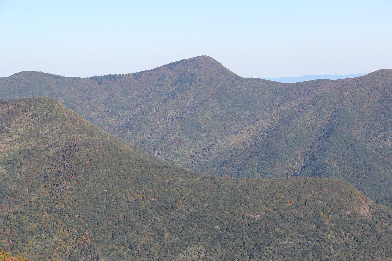
The viaduct runs for about one thousand two hundred forty-three feet, tracing the shape of the slope rather than a straight engineered line. Instead of cutting a shelf into the mountainside, the design lets the road ride above the terrain, following its curves so that the ground beneath is left largely undisturbed.
This was not how most of the Parkway was built. Of the road's twenty-six tunnels, twenty-five are in North Carolina, bored through ridges that ran directly across the route. Civilian Conservation Corps crews dug much of that work by hand in the 1930s, using drills and dynamite where the rock demanded it.
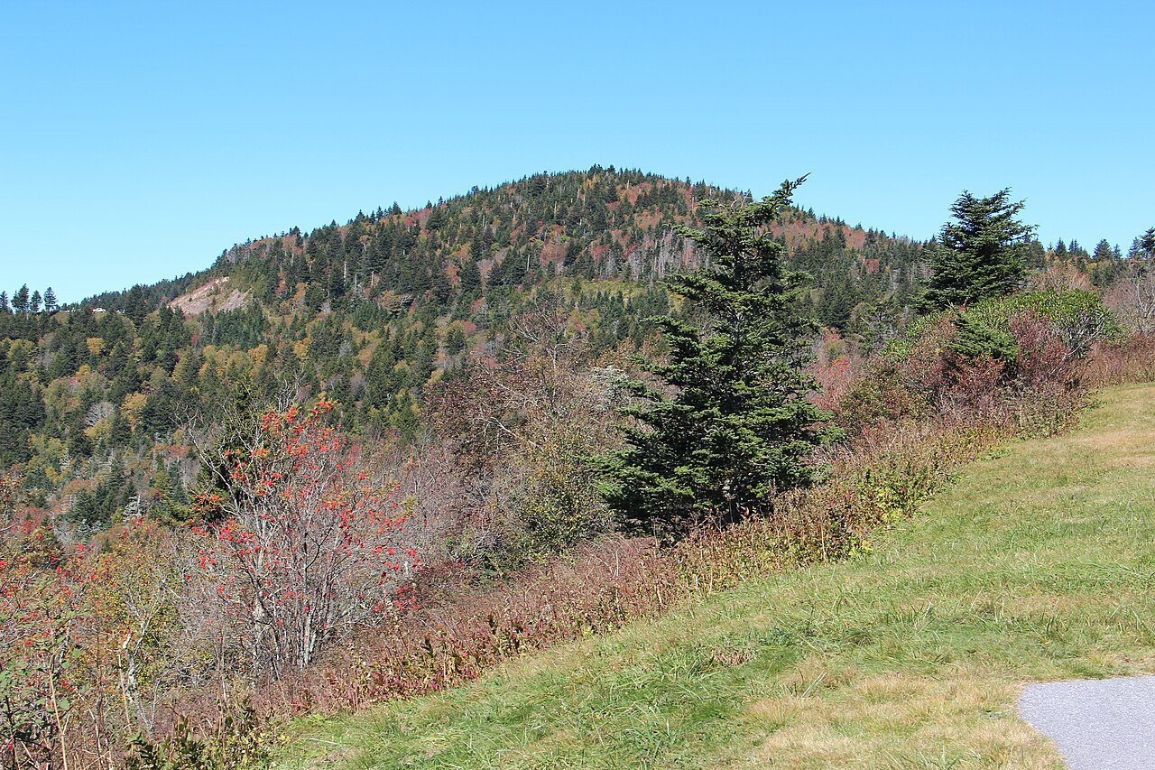
Grandfather Mountain's slope was not suited to a tunnel or an open cut, which is why the viaduct took a different form from the rest of the road. The Parkway as a whole carries one hundred sixty-eight bridges and six viaducts, but none required as long a search for a workable design as this one.
Decades in the Making
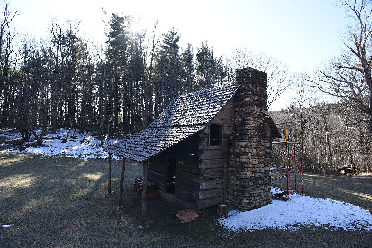
Work on the Blue Ridge Parkway began on September 11, 1935, near Cumberland Knob, not far north of this stretch. Congress placed the project under the National Park Service the following year, and private contractors, New Deal landscaping crews and Civilian Conservation Corps camps carried the road south through North Carolina over the next three decades.
By 1966 almost everything else was finished, but the Grandfather Mountain gap stayed open for two more decades while a workable design was found and built. The Linn Cove Viaduct finally opened in 1987, more than fifty-two years after construction began near Cumberland Knob, closing the last open stretch of the entire 469-mile road.
That gap is part of why the Parkway's history reads in two distinct phases: the steady progress of the 1930s and 1940s under New Deal programs, and the long wait for this one difficult stretch, finished only once engineering methods caught up with the particular demands of this one slope, decades after the rest of the road had already been completed.
Visitors driving the Parkway today rarely notice where this last gap used to be; the viaduct blends into the overlooks around it so well that its decades of difficulty are easy to miss unless a sign, a visitor center display, or a guide points them out along the way during a visit.
Seeing the Viaduct Today
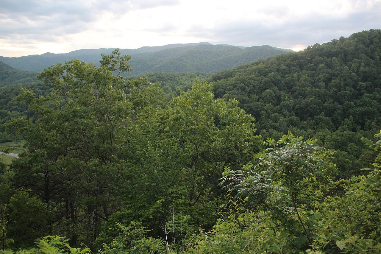
A visitor center at milepost 304 sits near the viaduct and gives access to a trail that runs underneath the bridge, letting visitors look up at the structure from the ravine it crosses rather than only from a car above. The trail is the main way to see the viaduct at close range.
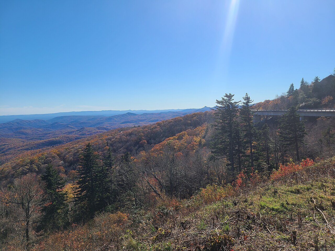
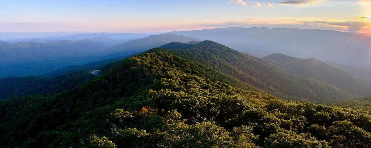
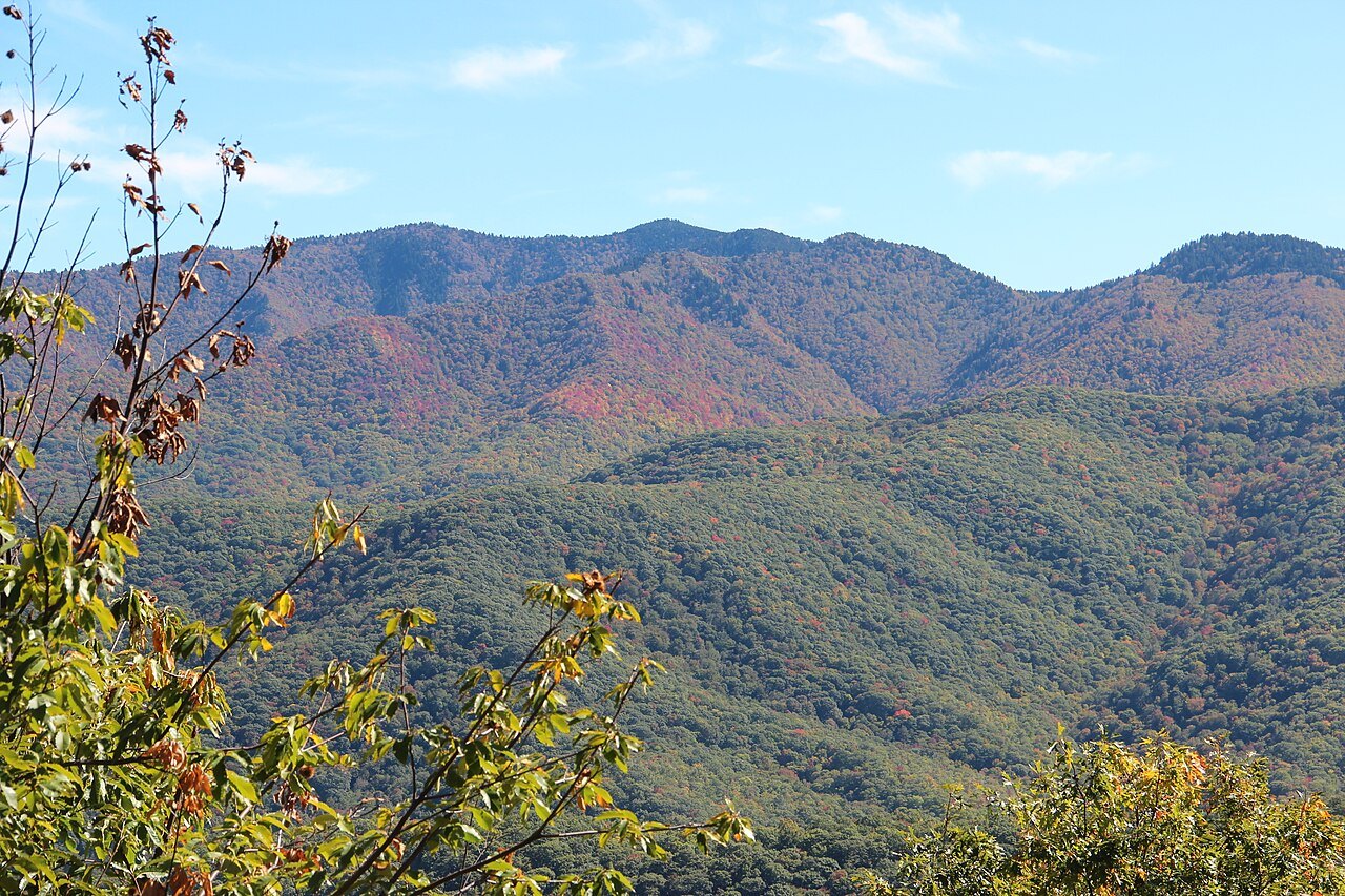
From the overlooks along this stretch, the viaduct appears as a long curve of concrete set against the forested slope of Grandfather Mountain, with no visible road cut behind it. The view explains, more clearly than any description, why a bridge was chosen over a cut into the mountainside decades earlier.
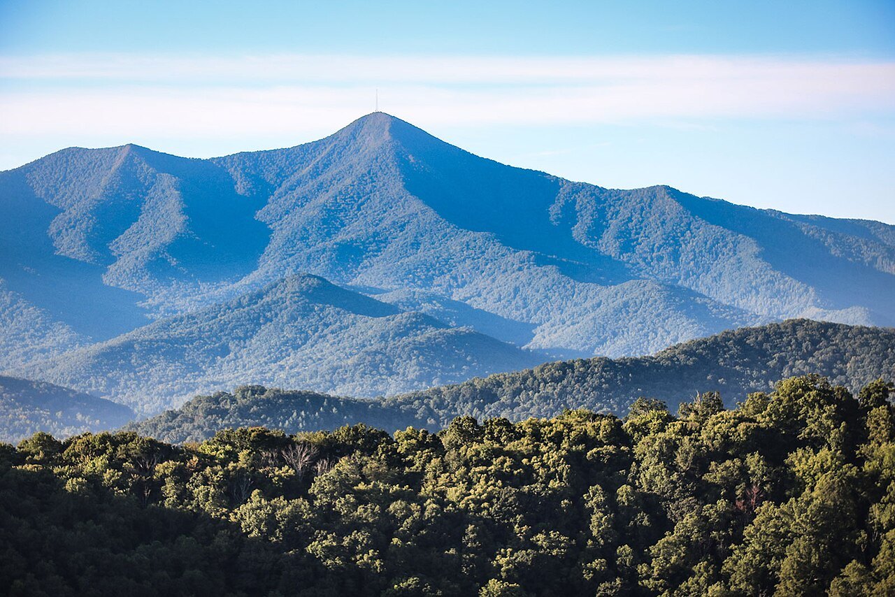
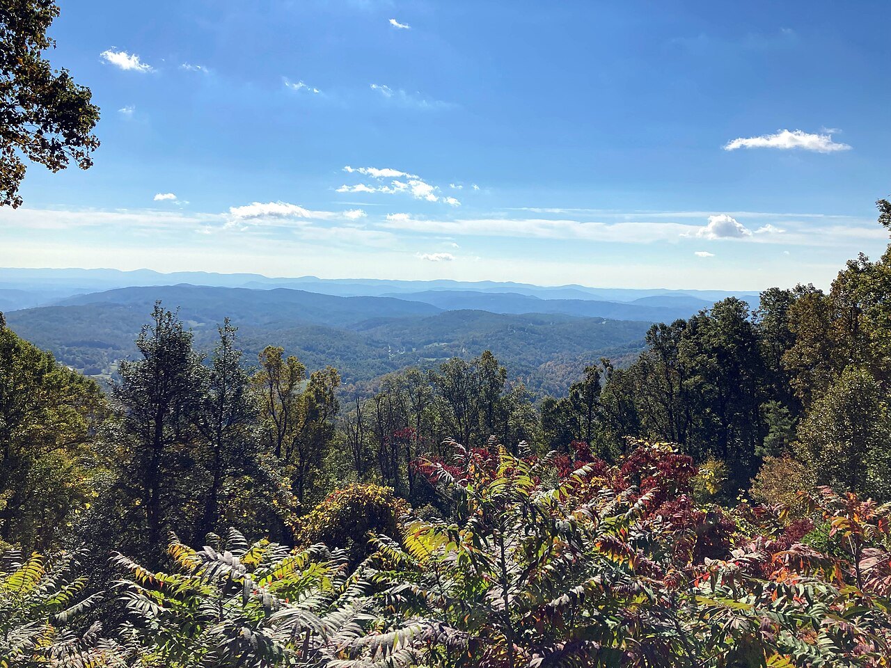
The viaduct sits within the broader run of overlooks between Grandfather Mountain and the Linville Falls Recreation Area, one of the most scenic sections of the entire Parkway. Many visitors plan a full day around this stretch alone, combining the trail beneath the bridge with time at the overlooks on either side.
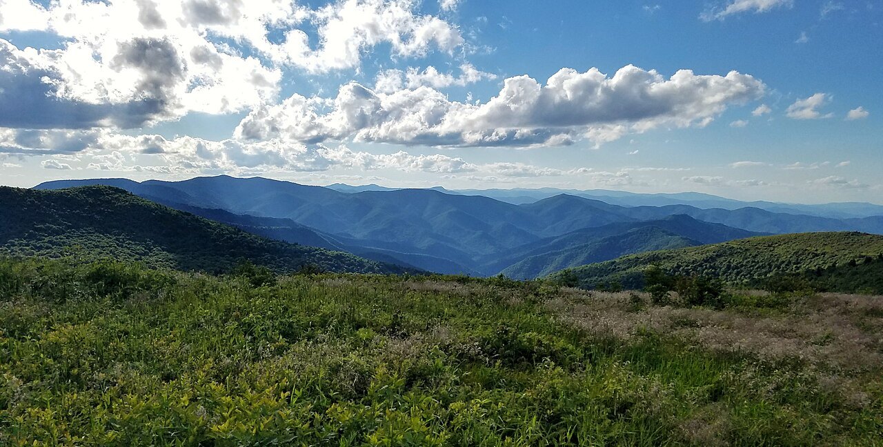
The Grandfather and Linville Stretch
This part of the Parkway is best entered from Blowing Rock rather than driven as part of a longer trip, since the curves and overlooks set a slow pace of their own. The approach from Blowing Rock brings visitors directly to the Grandfather Mountain section and the viaduct without retracing miles of road.
A few miles south, near milepost 316, the Linville Falls Recreation Area has trails to overlooks of the falls and of the Linville Gorge, one of the state's dramatic canyons and a separate destination in its own right. The gorge and the viaduct are often visited on the same day.
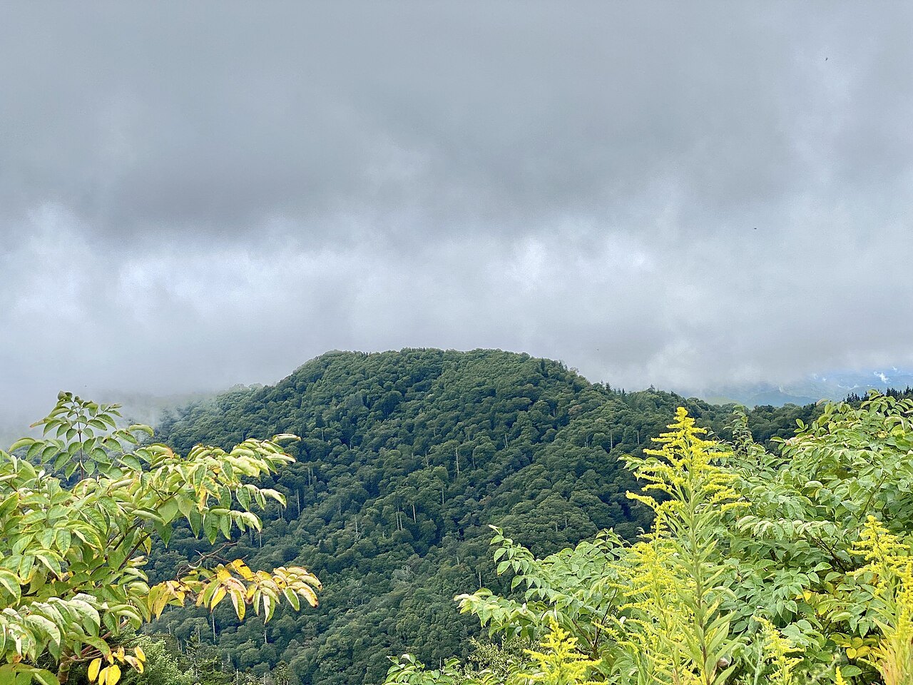
Further south along this same run of mileposts, the Museum of North Carolina Minerals at milepost 331 and Crabtree Falls give additional stops for travelers making a full day of this section, whether continuing south toward Asheville or north toward Doughton Park, since neither direction from here is a short drive.
Planning the Visit
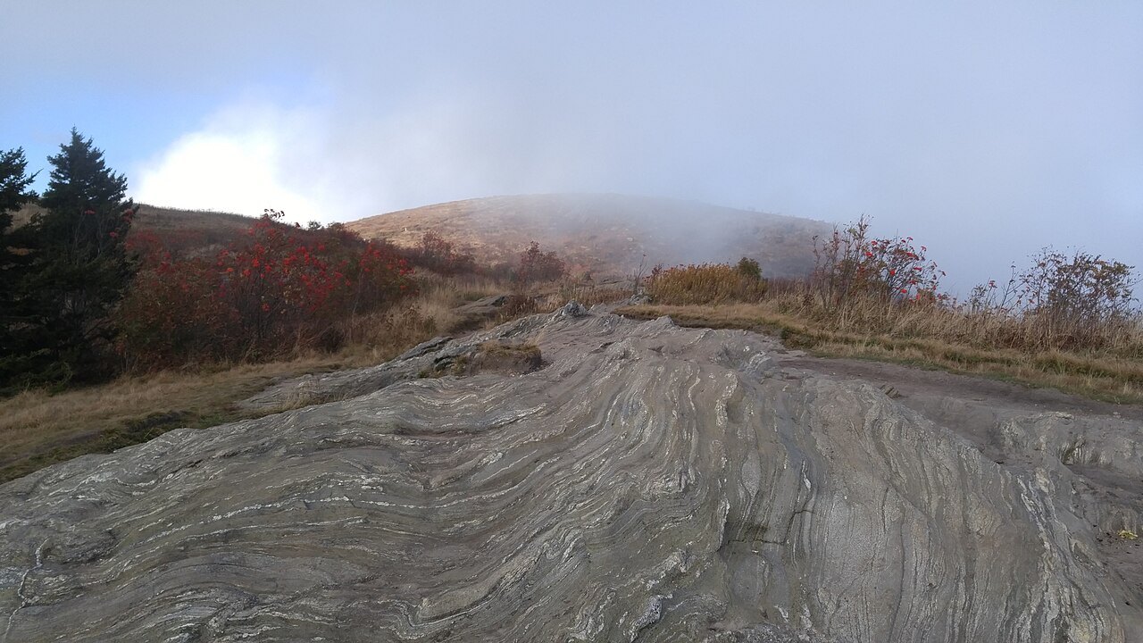
This stretch sits high and is exposed to the weather the Parkway is known for: colder, wetter and windier than the valleys below. Sections near the tunnels and high ground are often closed from late fall into early spring, and the National Park Service limits the chemicals it uses on ice, so closures can last a long time.
Hurricane Helene affected the Blue Ridge Parkway significantly in 2024, and recovery work has continued across various sections since. Rather than assume any part of this stretch matches an old description, check the National Park Service's road status page for the Parkway, which lists conditions by milepost before setting out.
Short-notice closures do not always come with a signed detour, so it is worth having a valley road in mind as a backup, particularly around Blowing Rock and Linville. The seasonal patterns and practical planning for a Parkway trip are covered in more detail in When to Come, along with guidance on timing a trip around the seasons.
Treat the viaduct as one stop within a longer, slower day rather than a quick detour. The curves, overlooks and the trail beneath the bridge reward unhurried driving, and the short stretch that took more than fifty years to finish is, for many visitors, the single most memorable few miles of the entire road.