HISTORIC FARM AND GRIST MILL
What can you see at the Mountain Farm Museum and Mingus Mill?
Photographs: Missvain, Wikimedia Commons, CC BY 4.0 · Dsdugan, Wikimedia Commons, CC0 · ljb06, Wikimedia Commons, CC BY 3.0
The Journal · The Smokies, North Carolina side
A pioneer farmstead and a working 1886 grist mill mark the Smokies' North Carolina entrance.
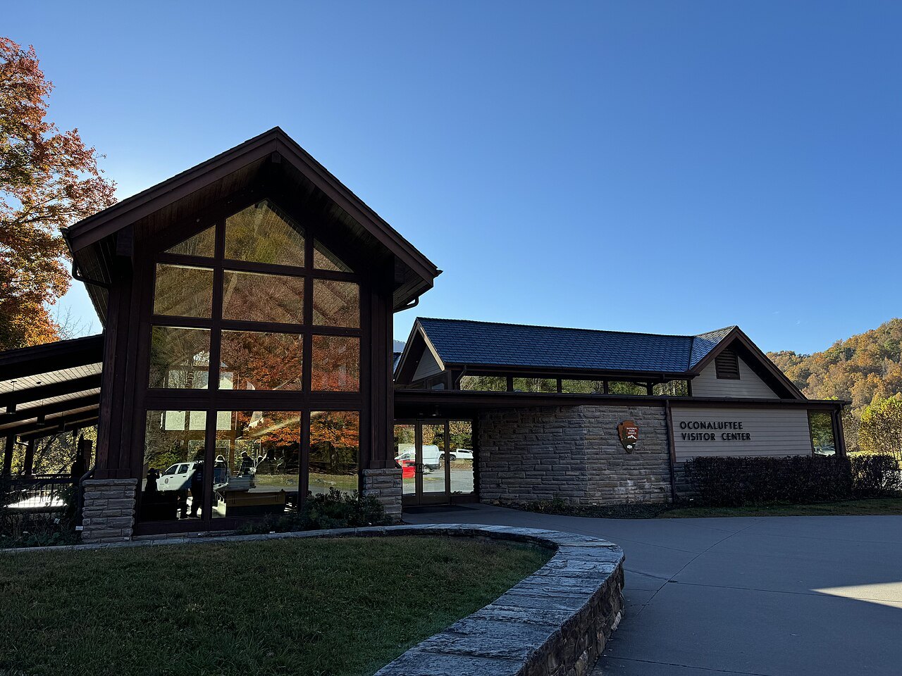
The Oconaluftee entrance
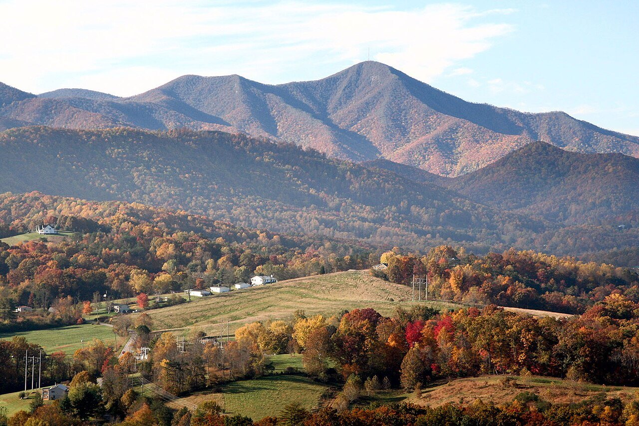
Great Smoky Mountains National Park drew more than eleven million visitors in 2025, more than any other national park in the country, and the crest it straddles carries the state line between North Carolina and Tennessee. Most guides begin on the Tennessee side, at Gatlinburg; this one starts at the other entrance, the Oconaluftee valley in North Carolina.
The valley takes its name from a Cherokee village once called Egwanulti, "by the river," recorded by the naturalist John Bartram in 1775. It later became an Appalachian farming community, and today it holds the park's main entrance from North Carolina, where the Blue Ridge Parkway comes to its southern end.
The Oconaluftee sits beside the Qualla Boundary, home to the Eastern Band of Cherokee Indians. For a fuller look at Cherokee history and culture, visitors should plan a stop at the Eastern Band's own museum and village sites on the Boundary rather than relying only on park exhibits.
The Mountain Farm Museum
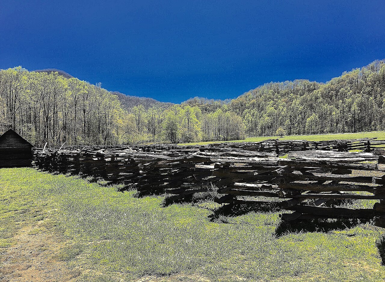
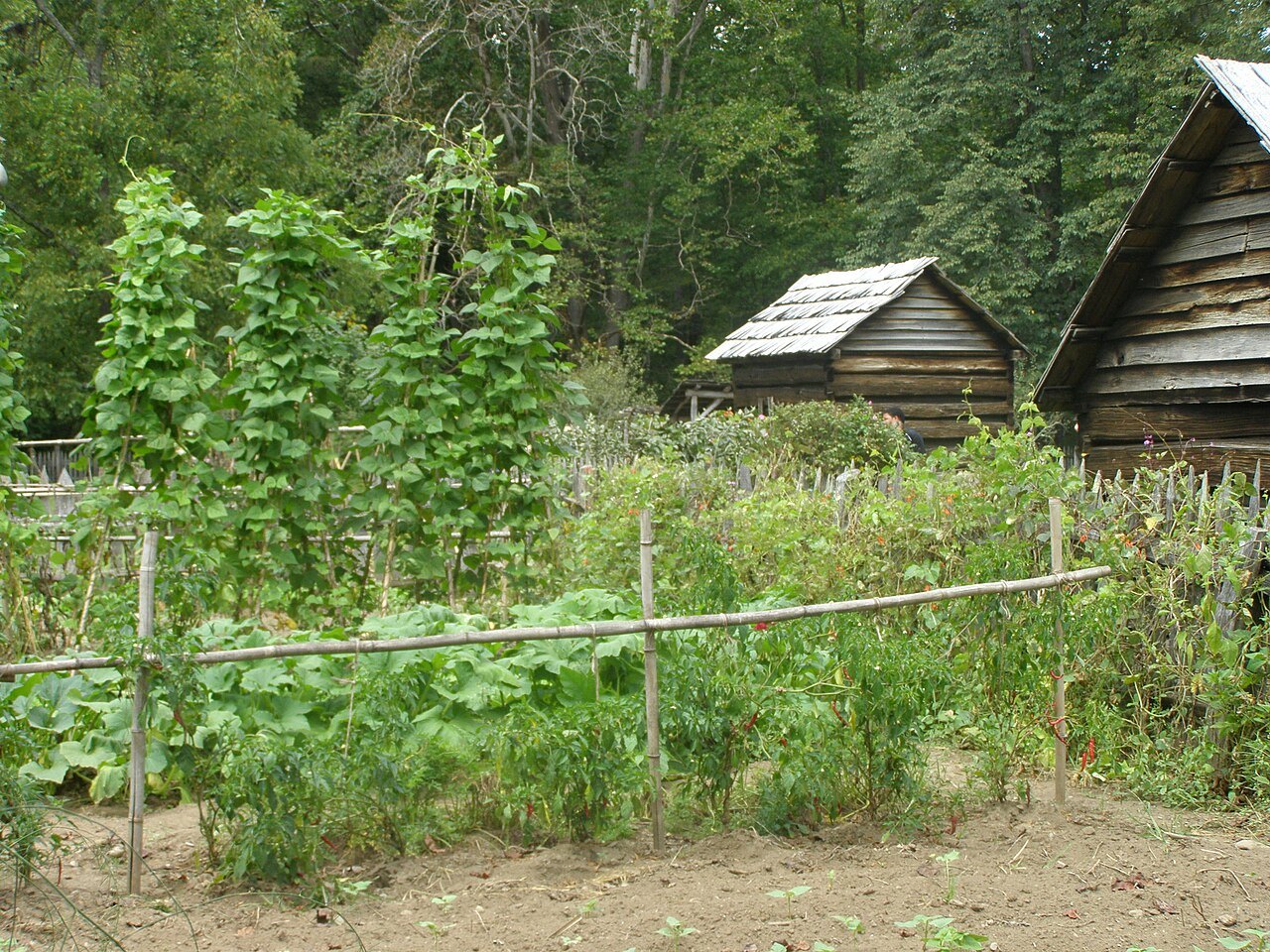
Beside the Oconaluftee Visitor Center stands the Mountain Farm Museum, a cluster of log buildings gathered from around the valley in the 1950s to recreate a pioneer farm. Visitors can walk among a cabin, a barn, and other outbuildings connected by a short path, with gardens showing crops a mountain family would have grown.
The John Davis Cabin, built of chestnut logs with dovetail notches around 1900, is the farmstead's main dwelling. Nearby, the Enloe Barn, raised around 1880, is the only structure that actually stood in this spot before the museum was assembled; it was moved only about two hundred yards to reach its present place.
Several other log buildings fill out the farmstead, moved from elsewhere in the valley to show how a self-sufficient mountain household worked before the park was created. Garden plots beside the buildings are planted through spring and summer, with crops changing through the season.
Mingus Mill
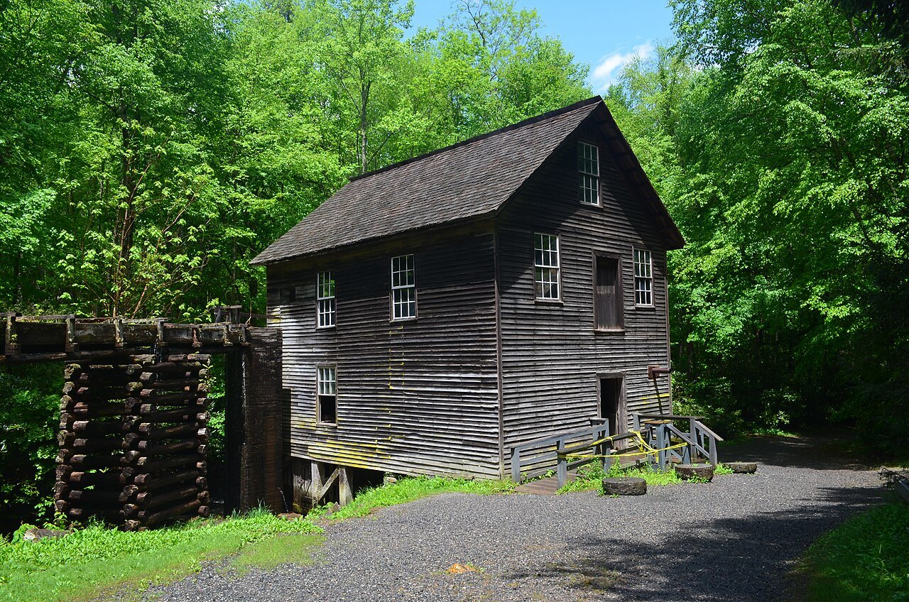
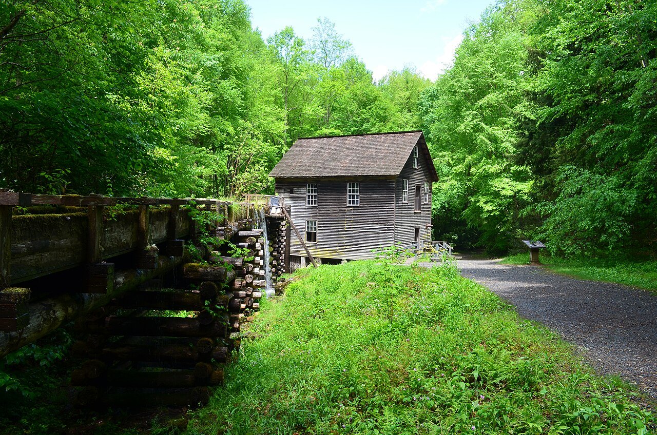
A short drive north of the visitor center on Mingus Creek, Mingus Mill is a working grist mill built in 1886 by the millwright Sion Thomas Early for John Mingus, son of the valley's first settler. It ran as a commercial mill until the National Park Service bought it in 1934.
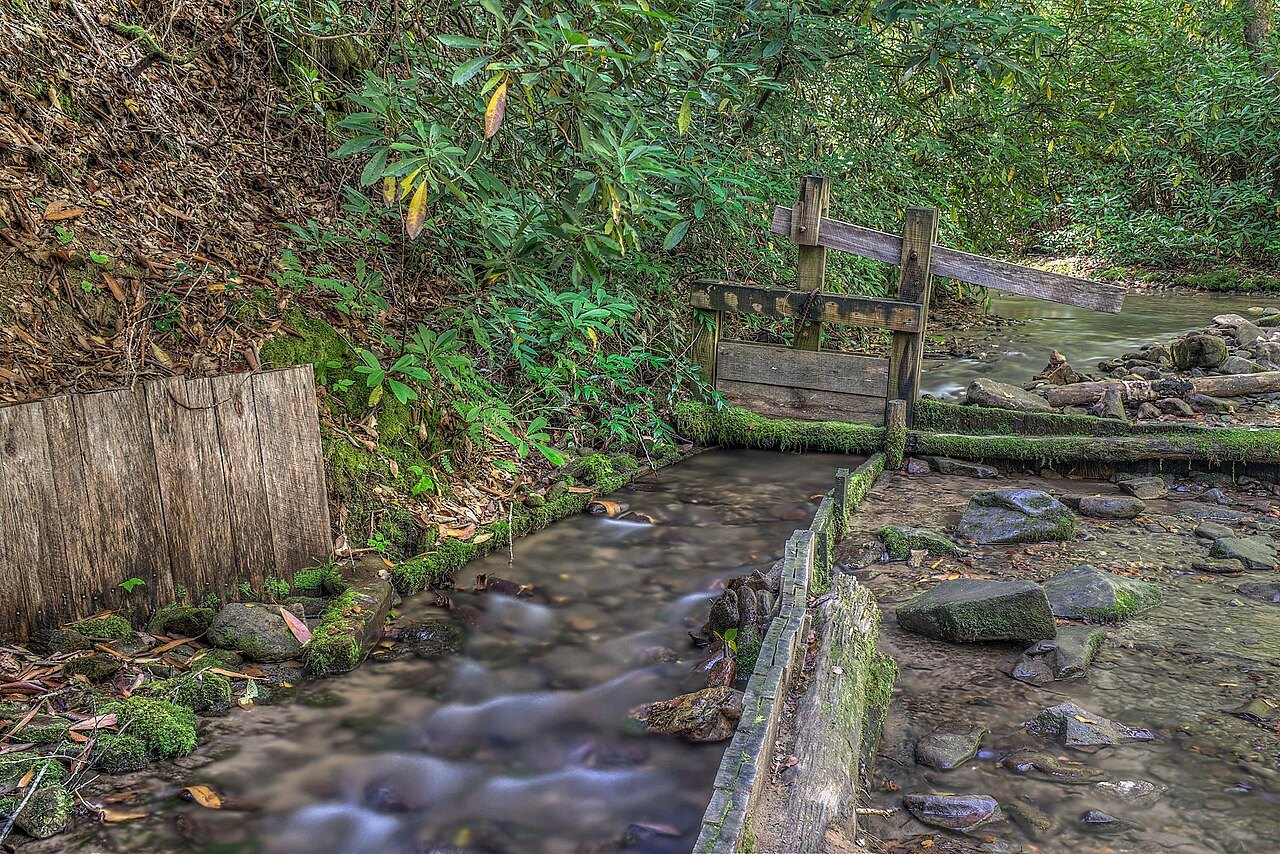
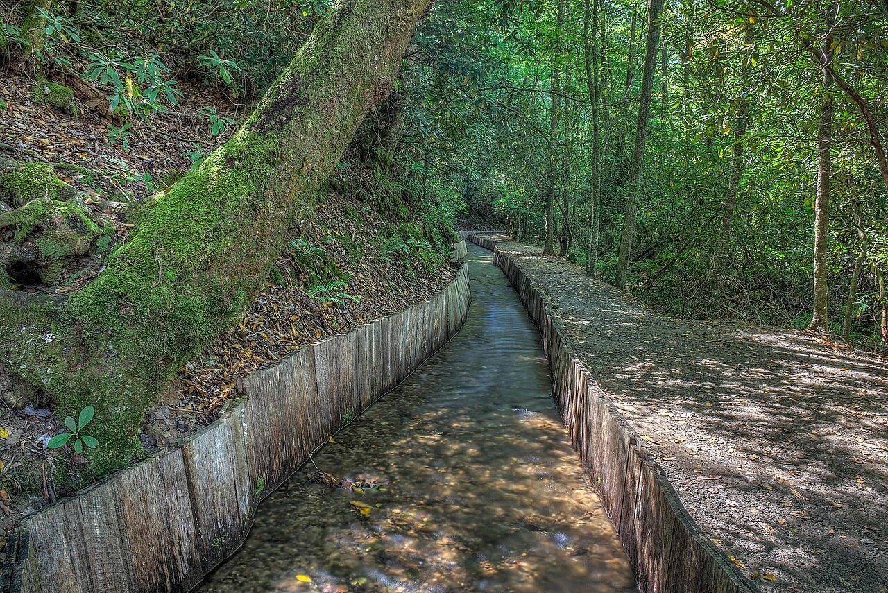
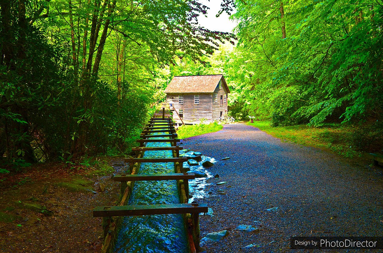
Instead of an overshot wheel, the mill draws water from the creek down a wooden flume to two turbines, which turn an iron shaft connected to the grindstones on the ground floor. Upstairs, a grain cleaner and a bolting chest sift the ground meal into different grades of flour.
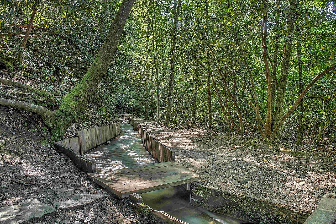
Visitors can walk through both floors to see the turbines, shaft, and grindstones in motion, and the flume itself is visible outside the building as it carries water from the creek. The mill stands on its own short loop off the main highway, close enough to combine with the farm museum in a single stop.
A valley with deeper history
An archaeological survey found a Cherokee settlement along the Oconaluftee just inside the park, the only known permanent Cherokee settlement within its boundaries; it was likely destroyed in 1776 during the Revolution by General Griffith Rutherford's campaign. The valley is now part of the Oconaluftee Archaeological District, listed on the National Register of Historic Places in 1982.
John Jacob Mingus arrived in the 1790s, the first Euro-American settler in the valley and inside today's park. Abraham Enloe settled downstream, and in 1831 he and William Holland Thomas, who had been adopted by the Cherokee peace chief Yonaguska, formed a company that widened the old Indian Gap Trail toward the crest.
By the late nineteenth century a band saw and a logging railroad had reached the Smokies, and lumber companies based at Smokemont cut much of the valley before the park commission bought the land in the 1930s. A fire in 1925 swept over the logging slash left behind, and a Civilian Conservation Corps camp at Smokemont later built the roads and trails visitors use today.
The visitor center and planning a stop
The Oconaluftee Visitor Center was rebuilt in 2011 with funds raised by two nonprofit groups; the original 1940 stone-and-log building, still standing nearby, returned to use as park offices. Staff here can answer questions on trail conditions, ranger programs, and the state of the road ahead toward Newfound Gap.
A visit to the farm museum and mill together takes roughly half a day, with easy walking between buildings and only a short drive separating the two sites. Both are close to Cherokee, Bryson City, and Waynesville, the nearest towns with overnight accommodation; see where to stay for options, with Asheville further east along the interstate.
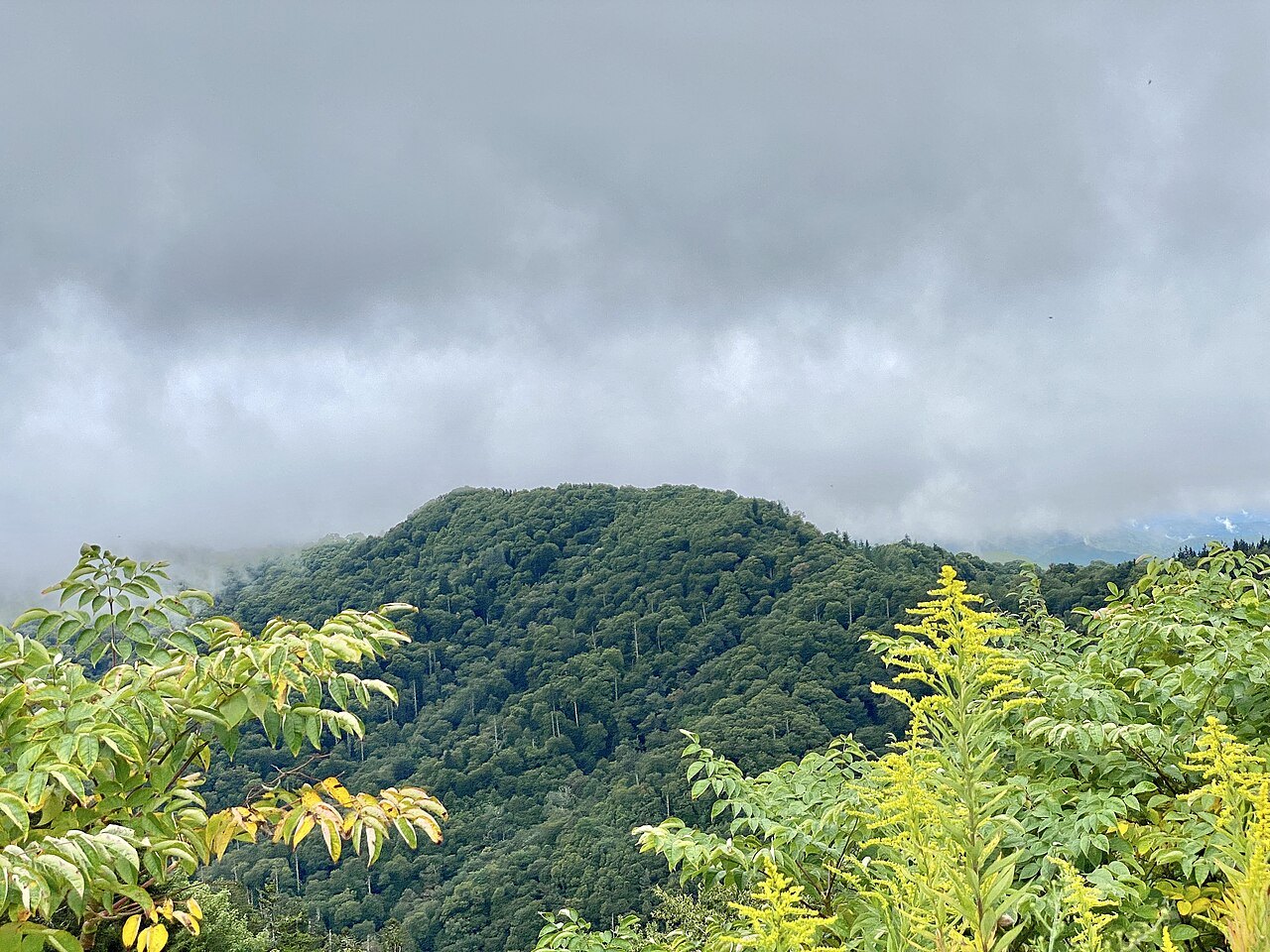
Staff at the desk can also advise on current conditions for the Kuwohi road and Newfound Gap, since conditions near five thousand feet can differ sharply from a mild day at Cherokee in the valley below. Checking before setting out saves a wasted climb in poor weather.

Up the road to Newfound Gap and Kuwohi
From Oconaluftee, US 441, called Newfound Gap Road inside the park, climbs north past Smokemont to Newfound Gap, at five thousand forty-eight feet, where the state line, the road, and the Appalachian Trail all cross and the Rockefeller Memorial stands. The gap averages around nineteen snowy days a year, and the road can close for hours after heavy snow even when Cherokee is clear.
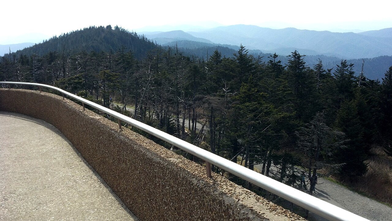
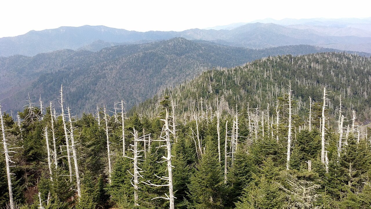
Beyond the gap, a seven-mile road leads along the crest to a parking area below Kuwohi, the park's highest point at six thousand six hundred forty-three feet and the highest point on the entire two-thousand-one-hundred-ninety-two-mile Appalachian Trail. The Cherokee name, meaning "mulberry place," became the official name again in September 2024, after the Eastern Band's tribal council requested the change, replacing the name Clingmans Dome.
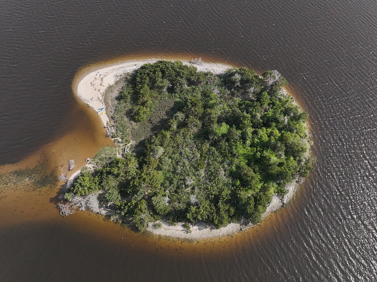
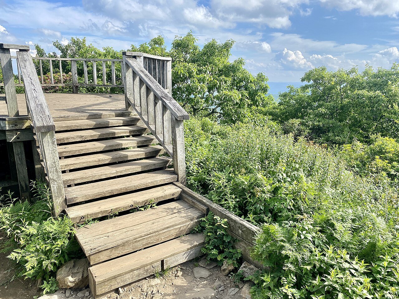
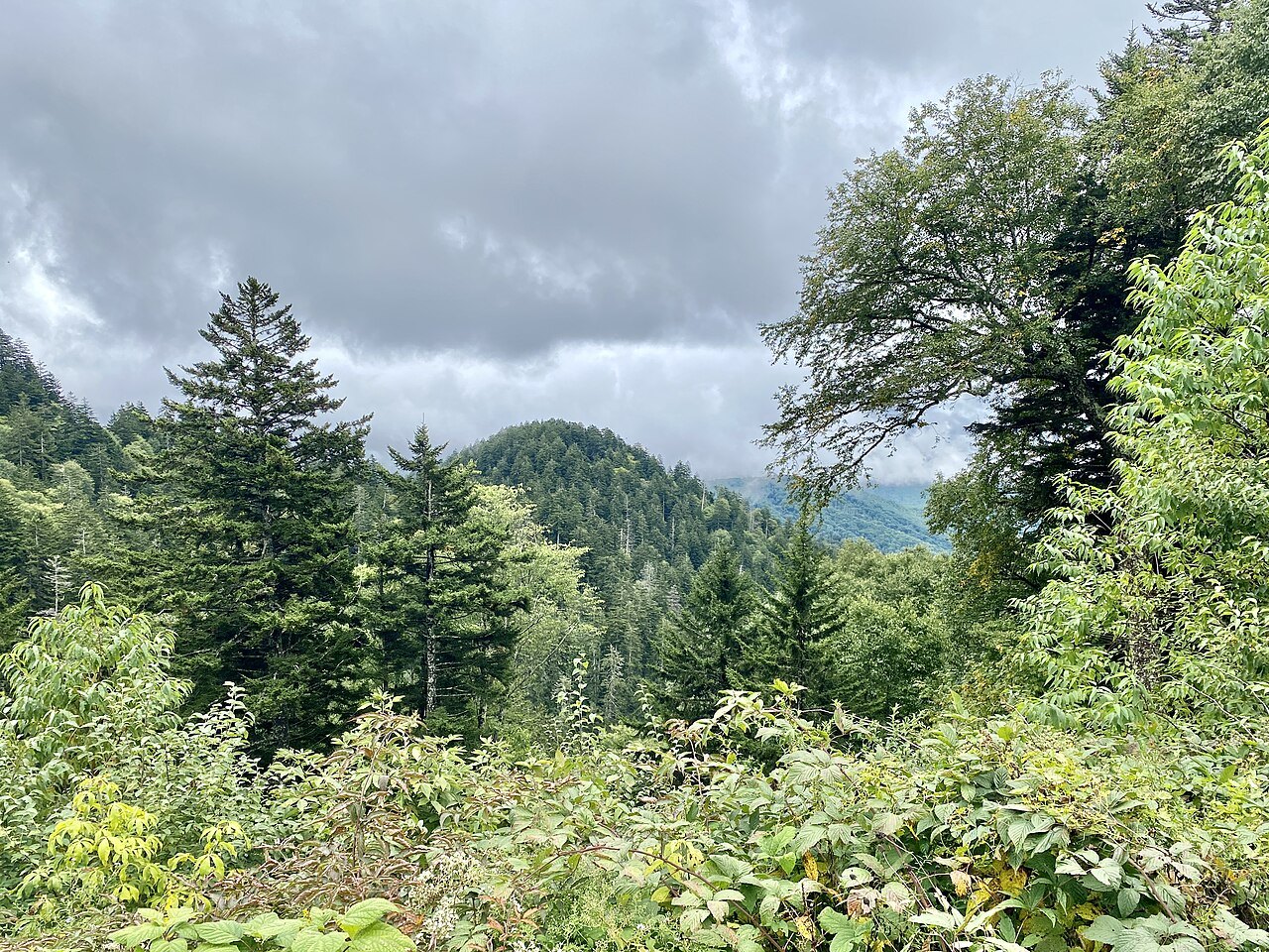
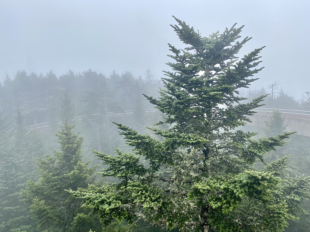
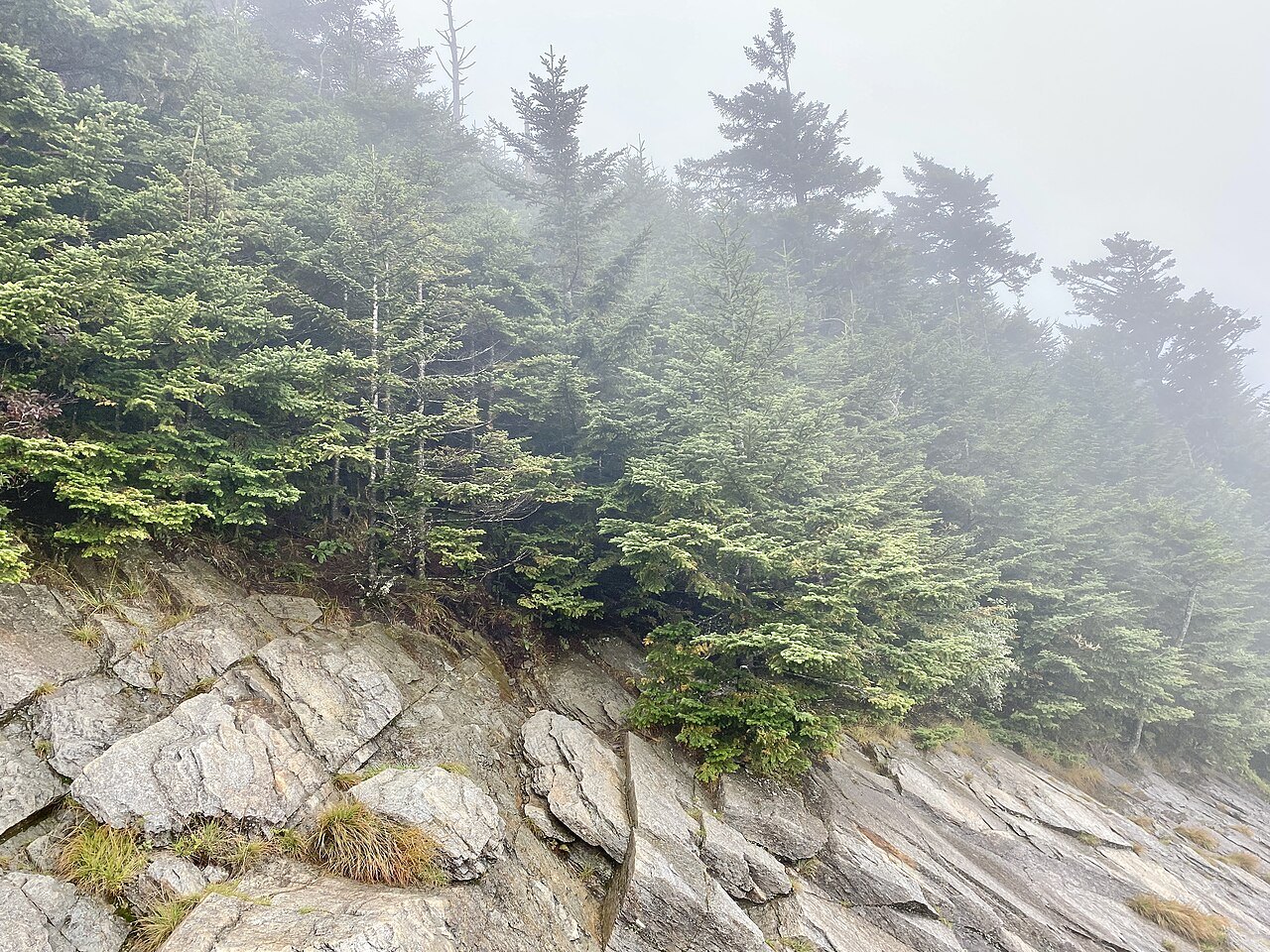
From the parking area a half-mile paved trail climbs steeply through spruce-fir forest to a concrete observation tower built in 1959, reached by a spiral ramp. On a clear day the view extends roughly one hundred miles; in haze, closer to twenty. The Kuwohi road opens each spring and closes after autumn, so in winter the summit is reached only on foot.
Planning ahead
Treat the valley and the climb to Newfound Gap and Kuwohi as separate outings: allow half a day for the Mountain Farm Museum and Mingus Mill, and a further stretch of the day for the drive up the mountain. Check the National Park Service's road status page before heading up, especially between November and April.
The crest is consistently colder and windier than the valley floor at Cherokee, so pack a warm layer even in summer, and expect the Kuwohi summit trail to be steep underfoot the whole way.
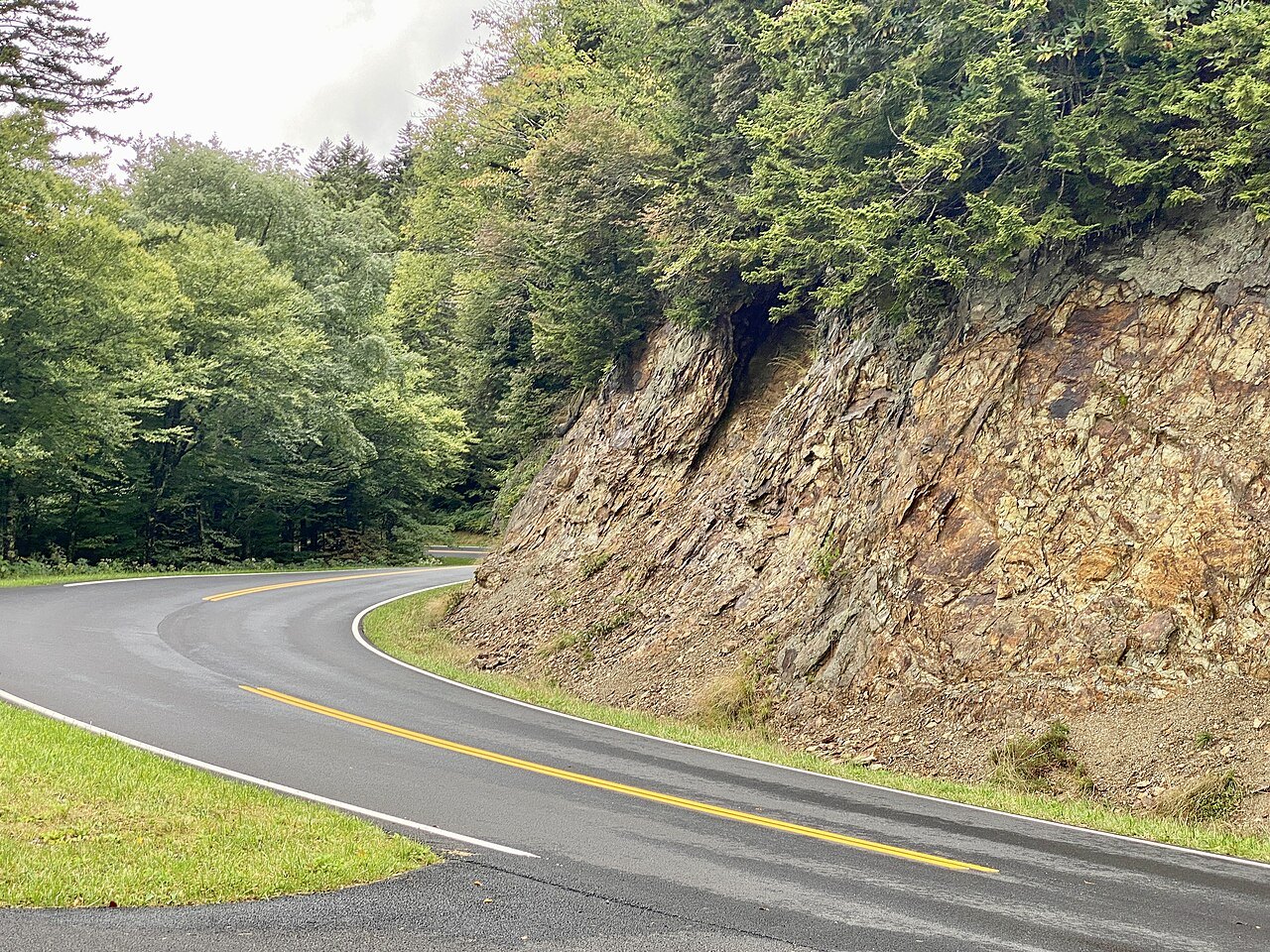
Visitors continuing on from the Smokies to other parts of the state should allow for mountain driving times that run longer than flat-country miles suggest, particularly on narrow park roads with many curves. See getting around for general guidance on distances and road conditions across North Carolina.